2000s (21st Century) Maps of T6 ND BPP, Maine
Explore 20 historic maps of T6 ND BPP from the 2000s (21st Century). These maps offer a rare glimpse into what life looked like during the 2000s — showing old roads, neighborhoods, homes, and landmarks that have changed or disappeared over time.
Whether you're researching your family's past, planning a metal detecting trip, or studying how T6 ND BPP's landscape evolved across the 2000s, these high-resolution maps are a powerful tool for exploring the history of this region.
- Focus on a specific era: All maps on this page are from the 2000s, giving you a focused view of this time period.
- See what’s changed: Compare century-old streets, trails, and buildings to today's modern landscape using overlays and satellite layers.
- Research with precision: Use these maps for genealogy, historical research, land use analysis, or educational projects.
- View, download, or print: Maps are fully viewable online in high resolution, and can be downloaded or printed for your own records.
Start exploring T6 ND BPP's history through authentic maps from the 2000s. This is your window into the past.
T6 ND BPP, ME maps
(20)- 2011 Map of Scraggly Lake, 2011 Print
 2011 Scraggly Lake2011 Print · USGSCovers T6 ND BPP, including Carroll Plantation, Pukakon Township, and other nearby areas
 - 2011 Map of Dark Cove Mountain, 2011 Print
 2011 Dark Cove Mountain2011 Print · USGSCovers T6 ND BPP, including T42 MD BPP, Sakom Township, and other nearby areas
 - 2011 Map of Grand Lake Stream, 2011 Print
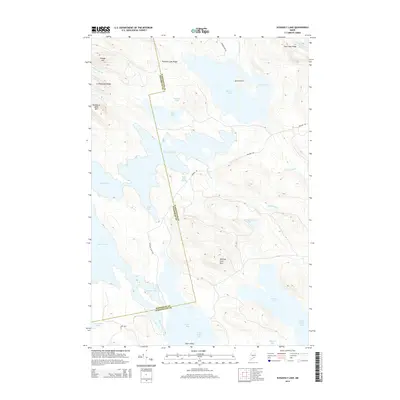
 2011 Grand Lake Stream2011 Print · USGSCovers T6 ND BPP, including Grand Lake Stream, Greenlaw Chopping Township, and other nearby areas
 - 2011 Map of Oxbrook Lakes, 2011 Print
 2011 Oxbrook Lakes2011 Print · USGSCovers T6 ND BPP, including Topsfield, Grand Lake Stream, and other nearby areas
 - 2014 Map of Oxbrook Lakes, 2014 Print
 2014 Oxbrook Lakes2014 Print · USGSCovers T6 ND BPP, including Topsfield, Grand Lake Stream, and other nearby areas
 - 2014 Map of Dark Cove Mountain, 2014 Print
 2014 Dark Cove Mountain2014 Print · USGSCovers T6 ND BPP, including T42 MD BPP, Sakom Township, and other nearby areas
 - 2014 Map of Scraggly Lake, 2014 Print
 2014 Scraggly Lake2014 Print · USGSCovers T6 ND BPP, including Carroll Plantation, Pukakon Township, and other nearby areas
 - 2014 Map of Grand Lake Stream, 2014 Print
 2014 Grand Lake Stream2014 Print · USGSCovers T6 ND BPP, including Grand Lake Stream, Greenlaw Chopping Township, and other nearby areas
 - 2018 Map of Oxbrook Lakes, 2018 Print
 2018 Oxbrook Lakes2018 Print · USGSCovers T6 ND BPP, including Topsfield, Grand Lake Stream, and other nearby areas
 - 2018 Map of Dark Cove Mountain, 2018 Print
 2018 Dark Cove Mountain2018 Print · USGSCovers T6 ND BPP, including T42 MD BPP, Sakom Township, and other nearby areas
 - 2018 Map of Grand Lake Stream, 2018 Print
 2018 Grand Lake Stream2018 Print · USGSCovers T6 ND BPP, including Grand Lake Stream, Greenlaw Chopping Township, and other nearby areas
 - 2018 Map of Scraggly Lake, 2018 Print
 2018 Scraggly Lake2018 Print · USGSCovers T6 ND BPP, including Carroll Plantation, Pukakon Township, and other nearby areas
 - 2021 Map of Grand Lake Stream, 2021 Print
 2021 Grand Lake Stream2021 Print · USGSCovers T6 ND BPP, including Grand Lake Stream, Greenlaw Chopping Township, and other nearby areas
 - 2021 Map of Oxbrook Lakes, 2021 Print
 2021 Oxbrook Lakes2021 Print · USGSCovers T6 ND BPP, including Topsfield, Grand Lake Stream, and other nearby areas
 - 2021 Map of Dark Cove Mountain, 2021 Print
 2021 Dark Cove Mountain2021 Print · USGSCovers T6 ND BPP, including T42 MD BPP, Sakom Township, and other nearby areas
 - 2021 Map of Scraggly Lake, 2021 Print
 2021 Scraggly Lake2021 Print · USGSCovers T6 ND BPP, including Carroll Plantation, Pukakon Township, and other nearby areas
 - 2024 Map of Oxbrook Lakes, 2024 Print
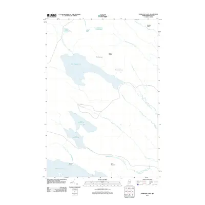
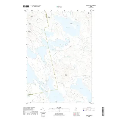
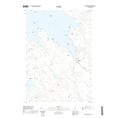
 2024 Oxbrook Lakes2024 Print · USGSWashington County’s lake-country landscape is documented here in the early twenty-first century, showcasing a region defined by its complex waterways and timberlands. Researchers can trace the remote network of Amazon Rd as it passes Amazon Lake or explore the shores of West Musquash Lake and Upper Oxbrook Lake.
 - 2024 Map of Scraggly Lake, 2024 Print
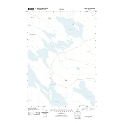
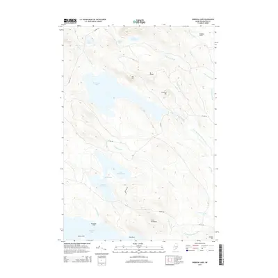
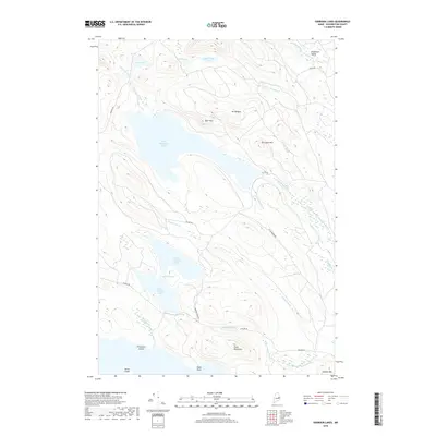
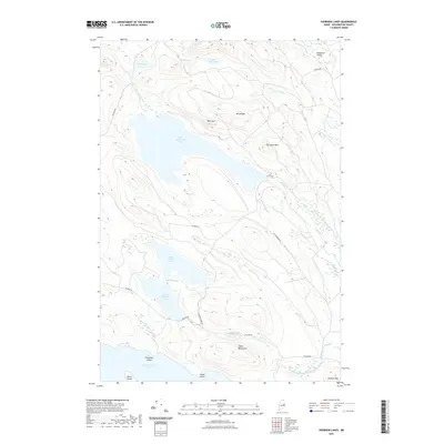
 2024 Scraggly Lake2024 Print · USGSThe Maine North Woods at the boundary of Washington and Penobscot counties are seen here as a vast network of glacial lakes and timber ridges. Researchers can trace the hydrology of Scraggly Lake, Junior Lake, and Pleasant Lake alongside rugged landmarks like Whitney Cove Mtn.
 - 2024 Map of Grand Lake Stream, 2024 Print
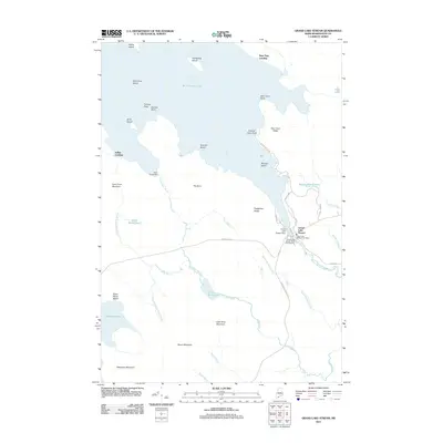
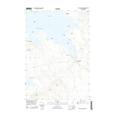
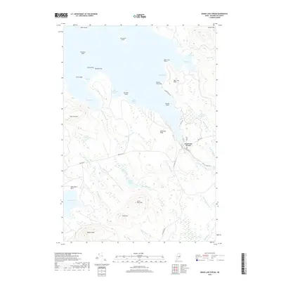
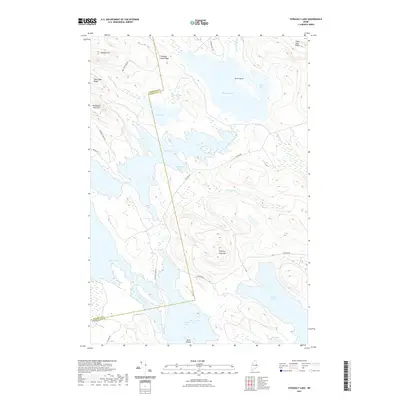
 2024 Grand Lake Stream2024 Print · USGSWashington County, Maine, is shown here as a landscape of deep lakes and ridges in the early twenty-first century. Researchers can trace the water-and-woods geography of the region through landmarks like Grand Lake Stream, Wabassus Mtn, and Dawn Marie Beach.
 - 2024 Map of Dark Cove Mountain, 2024 Print
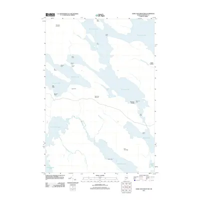
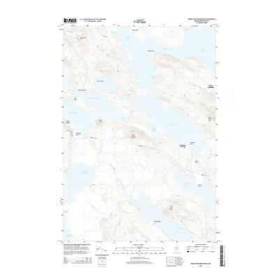
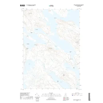
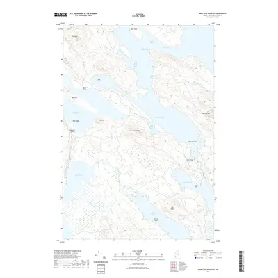
 2024 Dark Cove Mountain2024 Print · USGSWashington County’s labyrinth of interconnected lakes and glacial ridges is documented here in the modern era. Follow the intricate shorelines from The Pines to Dark Cove Mtn, or trace the waterways through Pocumcus Narrows and Fourth Lake Stream.
End of results
Showing maps 1-20 of 20
Top cities near T6 ND BPP
- Indian Township / Motahkomikuk historical maps
- Topsfield historical maps
- Carroll Plantation historical maps
- Grand Lake Stream historical maps
- Lakeville historical maps
- Crawford historical maps
See more
Top neighborhoods of T6 ND BPP
Frequently asked questions
- What are the different types of historical maps available for T6 ND BPP?
- What is the oldest map of T6 ND BPP?
- Where can I purchase historical maps of T6 ND BPP for my home or office?
- Where can I download high-res historical maps of T6 ND BPP?
- Are there historical topographic maps available for T6 ND BPP?
- Is there historical aerial imagery available for T6 ND BPP?
- Where are historical maps of T6 ND BPP sourced from?