2020s Maps of Harford County, Maryland
Explore 15 historic maps of Harford County from the 2020s. These maps offer a rare glimpse into what life looked like during the 2020s — showing old roads, neighborhoods, homes, and landmarks that have changed or disappeared over time.
Whether you're researching your family's past, planning a metal detecting trip, or studying how Harford County's landscape evolved across the 2020s, these high-resolution maps are a powerful tool for exploring the history of this region.
- Focus on a specific era: All maps on this page are from the 2020s, giving you a focused view of this time period.
- See what’s changed: Compare century-old streets, trails, and buildings to today's modern landscape using overlays and satellite layers.
- Research with precision: Use these maps for genealogy, historical research, land use analysis, or educational projects.
- View, download, or print: Maps are fully viewable online in high resolution, and can be downloaded or printed for your own records.
Start exploring Harford County's history through authentic maps from the 2020s. This is your window into the past.
Harford County, MD maps
(15)- 2023 Map of Delta, 2023 Print
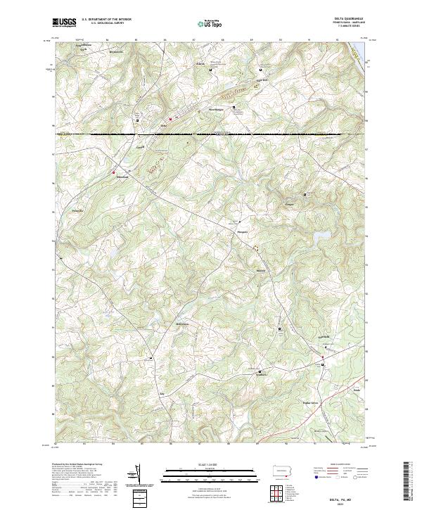 2023 Delta2023 Print · USGSThe Pennsylvania-Maryland line splits the twin towns of Delta and Cardiff on this recent landscape survey. Researchers can trace numerous local burial grounds and historic church sites like Trinity African Methodist Episcopal Zion Cem and Mount Nebo Church Cem.
 - 2023 Map of Fawn Grove, 2023 Print
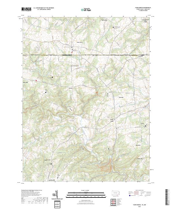 2023 Fawn Grove2023 Print · USGSAcross the Pennsylvania and Maryland border in the early twenty-first century, this landscape preserves a dense network of cross-border settlements and historic sites. Genealogists can trace family lines through numerous rural burial grounds, including Heaps Cem, Saint Marys Cem, and North Harford Cem.
 - 2023 Map of Norrisville, 2023 Print
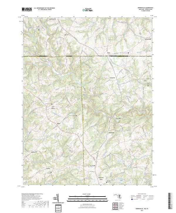 2023 Norrisville2023 Print · USGSThe Mason-Dixon line crosses this rural borderland during the early twenty-first century, where Harford and York counties meet. Researchers can trace ancestral ties through the Almony Family Cem and old milling sites like Amos Mill or Ivory Mill.
 - 2023 Map of Phoenix, 2023 Print
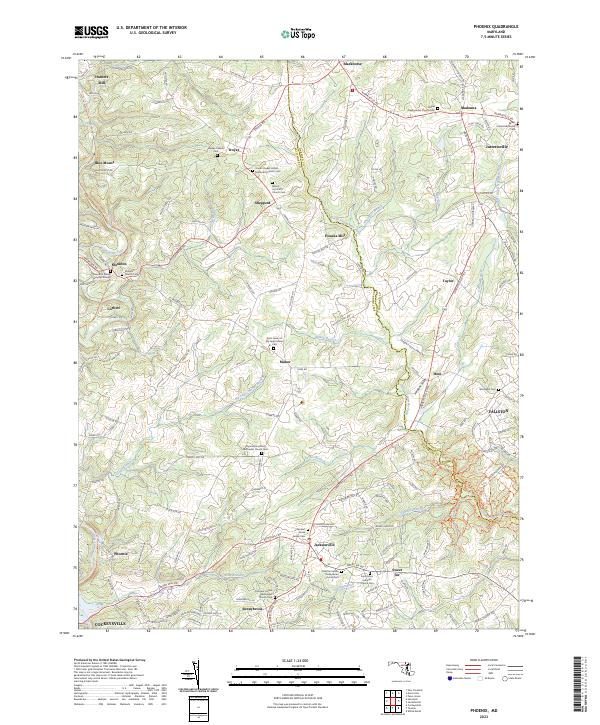 2023 Phoenix2023 Print · USGSThe rural borderlands of Baltimore and Harford Counties come alive here in the early twenty-first century, showing a landscape rich in early Maryland heritage. Genealogists can trace family sites like the Meredith Family Burying Ground or historic churches including Mount Joy A M E Church Cem and Bethel Presbyterian Church Cem.
 - 2023 Map of Jarrettsville, 2023 Print
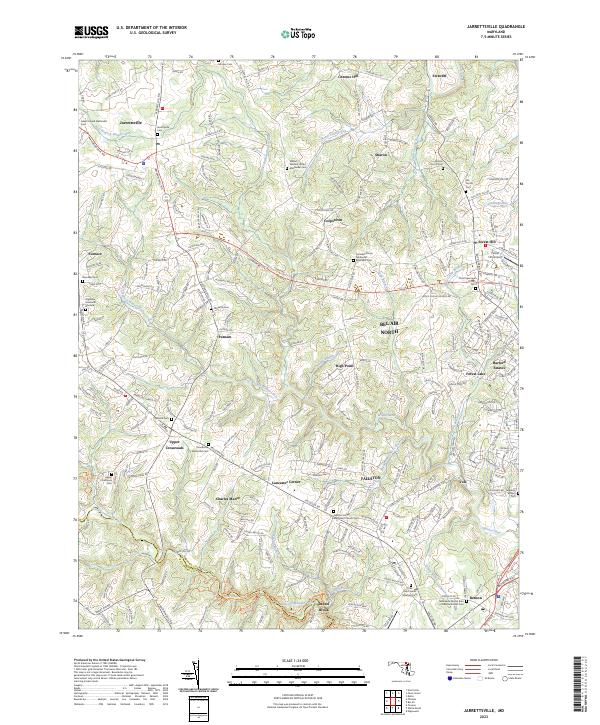 2023 Jarrettsville2023 Print · USGSHarford County's rolling crossroads and stream valleys are captured in the early 2020s, showing a landscape where modern development meets deep-rooted history. Researchers can trace ancestral sites from Little Falls Friends Meeting Cem to Jarrettsville Cem, while exploring landmarks like the Forest Hill Airport.
 - 2023 Map of Gunpowder Neck, 2023 Print
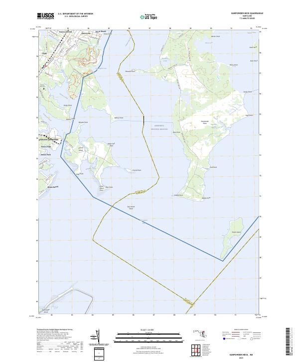 2023 Gunpowder Neck2023 Print · USGSCoastal Harford County and the upper Chesapeake Bay appear in high detail on this contemporary survey. Local historians can trace the shoreline from Bowleys Quarters to Gunpowder Neck, locating Marshy Point Cem and Pooles Island.
 - 2023 Map of Havre De Grace, 2023 Print
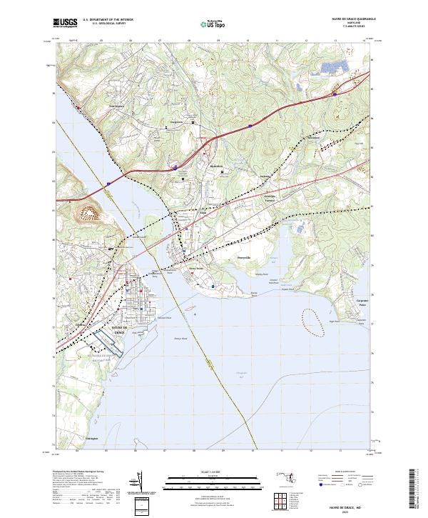 2023 Havre De Grace2023 Print · USGSThe mouth of the Susquehanna River comes alive in this 2023 survey, showing where historic ferry crossings and furnace sites met modern bridge infrastructure. Genealogists can locate family burial grounds like Asbury United Methodist Cem or trace the early industrial footprint of Principio Furnace.
 - 2023 Map of Edgewood, 2023 Print
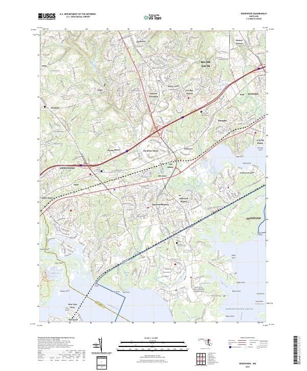 2023 Edgewood2023 Print · USGSHarford County's coastal corridor and suburban growth are detailed here in the early twenty-first century. Researchers can trace the military history of Aberdeen Proving Ground or find family landmarks like Harford Furnace and Saint Francis De Sales Cem.
 - 2023 Map of Perryman, 2023 Print
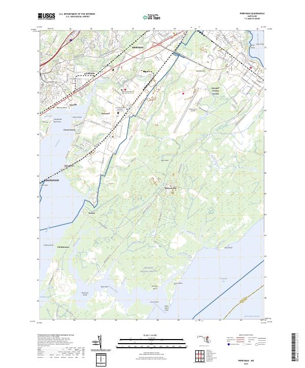 2023 Perryman2023 Print · USGSHarford County's coastal peninsula and military landscapes are mapped here in the early twenty-first century. Genealogists and historians can trace family markers at Saint Georges Spesutia Episcopal Church Cem or explore the evolution of Old Baltimore and the Aberdeen Proving Ground.
 - 2023 Map of Spesutie, 2023 Print
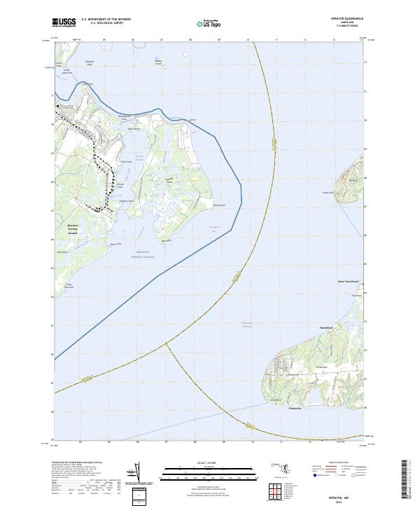 2023 Spesutie2023 Print · USGSThe northern reaches of the Chesapeake Bay are revealed in this 2023 survey of Harford and Cecil Counties. Local historians can trace the military infrastructure of Aberdeen Proving Ground or locate the shoreline settlements of Cheshaven and Hazelmoor.
 - 2023 Map of White Marsh, 2023 Print
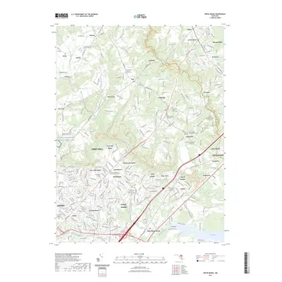 2023 White Marsh2023 Print · USGSNortheast of Baltimore, these Maryland communities maintain their historical identity through a dense network of country churches and family burial grounds. Researchers can trace local lineages at Saint Pauls Lutheran Church Cem and Camp Chapel United Methodist Cem while exploring the wooded valley of Gunpowder Falls.
 - 2023 Map of Bel Air, 2023 Print
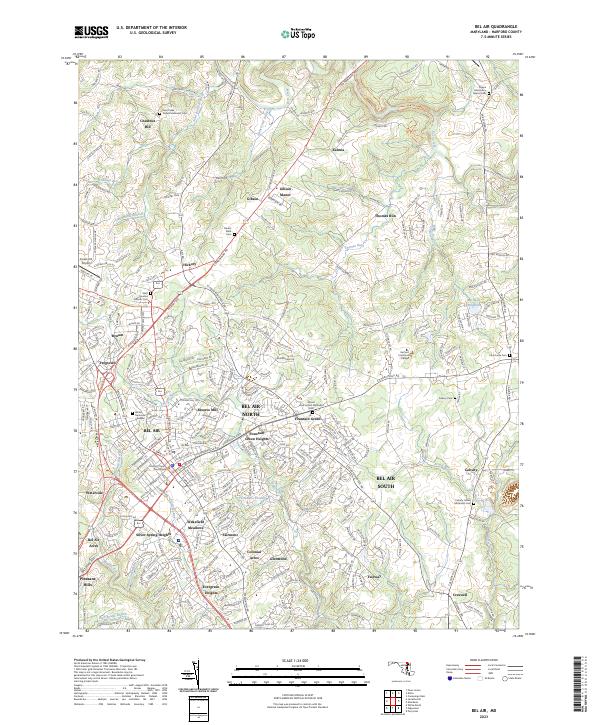 2023 Bel Air2023 Print · USGSHarford County is shown in its contemporary layout, balancing its role as a county seat with expansive suburban growth. Researchers can locate dozens of family-named sites and historic burial grounds, including Churchville Cem, the Harford County Courthouse, and Michaels Mill (Dam).
 - 2023 Map of Hanesville, 2023 Print
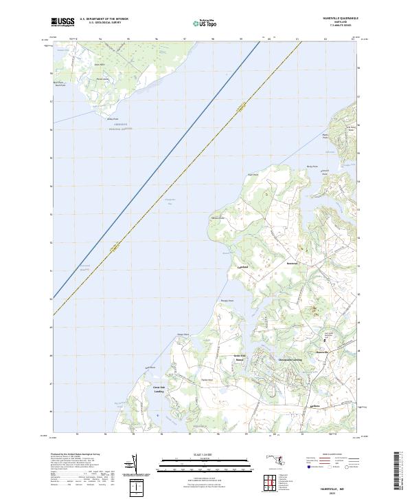 2023 Hanesville2023 Print · USGSMaryland's Eastern Shore shoreline in the 2020s shows a landscape defined by tidewater landings and quiet coastal settlements. Researchers can trace family ties at Saint James Methodist Cem and explore the geography of Chesapeake Landing and Great Oak Manor.
 - 2023 Map of Aberdeen, 2023 Print
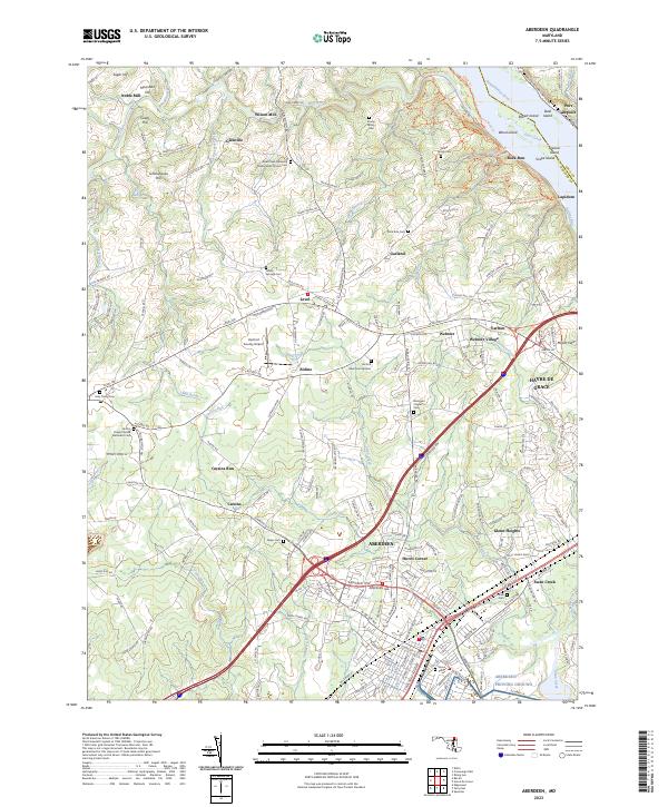 2023 Aberdeen2023 Print · USGSHarford County's coastal and rural landscapes are captured here during a period of modern growth. Genealogists can trace family history through sites like Parker Family Cem and Smith's Chapel United Methodist Cem while exploring the river shoreline near Lapidum.
 - 2023 Map of Conowingo Dam, 2023 Print
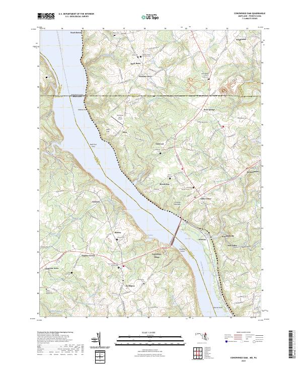 2023 Conowingo Dam2023 Print · USGSThe Susquehanna River valley at the Maryland-Pennsylvania line shows a landscape defined by riverside hamlets and historic crossings in the early twenty-first century. Genealogists and historians can trace family locations through numerous sites like Bald Friar Ferry, Rock Springs, and the Deer Creek Friends Meeting Cem.
End of results
Showing maps 1-15 of 15
Top cities of Harford County
- Edgewood historical maps
- Forest Hill historical maps
- Aberdeen historical maps
- Havre de Grace historical maps
- Bel Air historical maps
- Fallston historical maps
See more
Frequently asked questions
- What are the different types of historical maps available for Harford County?
- What is the oldest map of Harford County?
- Where can I purchase historical maps of Harford County for my home or office?
- Where can I download high-res historical maps of Harford County?
- Are there historical topographic maps available for Harford County?
- Is there historical aerial imagery available for Harford County?
- Where are historical maps of Harford County sourced from?