2010s Maps of Talbot County, Maryland
Explore 74 historic maps of Talbot County from the 2010s. These maps offer a rare glimpse into what life looked like during the 2010s — showing old roads, neighborhoods, homes, and landmarks that have changed or disappeared over time.
Whether you're researching your family's past, planning a metal detecting trip, or studying how Talbot County's landscape evolved across the 2010s, these high-resolution maps are a powerful tool for exploring the history of this region.
- Focus on a specific era: All maps on this page are from the 2010s, giving you a focused view of this time period.
- See what’s changed: Compare century-old streets, trails, and buildings to today's modern landscape using overlays and satellite layers.
- Research with precision: Use these maps for genealogy, historical research, land use analysis, or educational projects.
- View, download, or print: Maps are fully viewable online in high resolution, and can be downloaded or printed for your own records.
Start exploring Talbot County's history through authentic maps from the 2010s. This is your window into the past.
Talbot County, MD maps
(74)- 2011 Map of Cambridge, 2011 Print
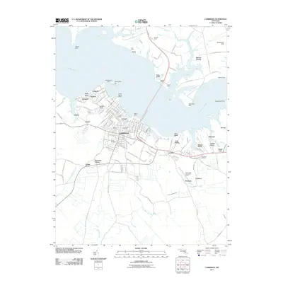 2011 Cambridge2011 Print · USGSMaryland's Eastern Shore center of Cambridge is captured here just after the first decade of the millennium. Genealogists and local historians can trace burial sites like Waugh Cemetery or locate old waterfront landmarks such as Kirby Wharf and Belmont Landing.
 - 2011 Map of Trappe, 2011 Print
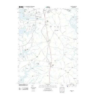 2011 Trappe2011 Print · USGSCoastal Maryland life south of Easton is defined by the tidal necks and landings along the Choptank River. Researchers can trace family history through a high density of local burial grounds, including Hole-in-the-Wall Cemetery and Queen Esther Cemetery.
 - 2011 Map of East New Market, 2011 Print
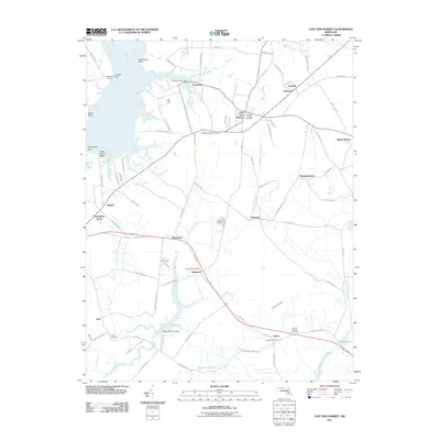 2011 East New Market2011 Print · USGSThe Eastern Shore of Maryland in the early twenty-first century reveals a network of tidewater villages and historic crossroads. Researchers can locate family sites and landmarks like Shiloh Manor, Airey Cemetery, and the Secretary Post Office along the Choptank River.
 - 2011 Map of Preston, 2011 Print
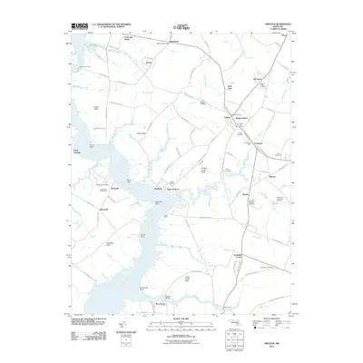 2011 Preston2011 Print · USGSThe Eastern Shore of Maryland near Preston and Bethlehem is shown here as the twenty-first century began, centered on the winding Choptank River. Genealogists and historians can trace local family landmarks like Linchester Mill, Coppins Chapel Cemetery, and Suicide Bridge.
 - 2011 Map of Easton, 2011 Print
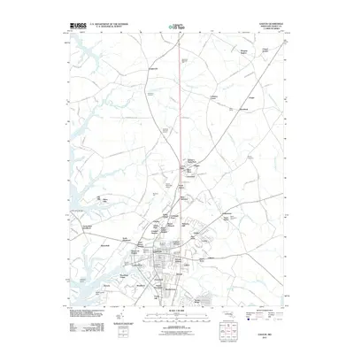 2011 Easton2011 Print · USGSThe Eastern Shore of Maryland in the early 2010s reveals a landscape of tidal creeks and established residential growth. Genealogists can trace family landmarks and burial sites from the Third Haven Meeting Burial Ground to the historic Morgans Neglect.
 - 2011 Map of Wye Mills, 2011 Print
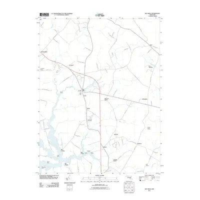 2011 Wye Mills2011 Print · USGSQueen Anne's County and the Eastern Shore are depicted here in the early 21st century, centered on the historic water-powered hub of Wye Mills. Genealogists and local historians can trace family sites at Old Saint Joseph Cemetery, Wye Landing, and Skipton.
 - 2011 Map of Ridgely, 2011 Print
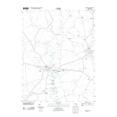 2011 Ridgely2011 Print · USGSThe rural landscape of Caroline County is captured here in the early 2000s, centered on the town of Ridgely and the surrounding agricultural plains. Researchers can trace local heritage through numerous family landmarks like Buckels Corner and historic burial sites including Green Mount Cemetery.
 - 2011 Map of Church Creek, 2011 Print
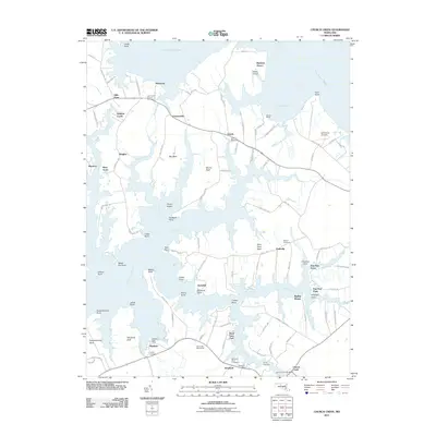 2011 Church Creek2011 Print · USGSThe Dorchester County tidewater region is captured here in the early twenty-first century, showing a landscape shaped by the Little Choptank River. Genealogists and local historians can trace family-named points and several burial grounds, such as Joppa Cemetery and Woolford Mace Cemetery.
 - 2011 Map of Queenstown, 2011 Print
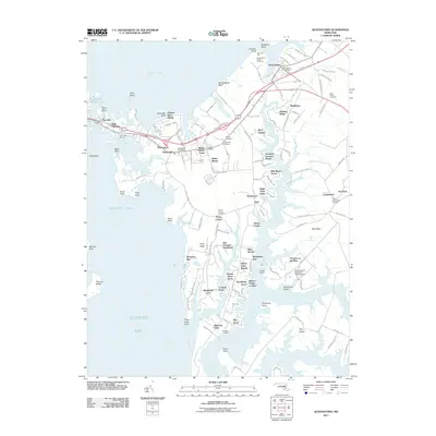 2011 Queenstown2011 Print · USGSMaryland's Eastern Shore reveals its complex tidewater geography in the early twenty-first century, from the Kent Narrows to the branching Wye River. Researchers can trace generational landmarks including Saint Peters Cemetery and the East Prospect Plantation.
 - 2011 Map of Hudson, 2011 Print
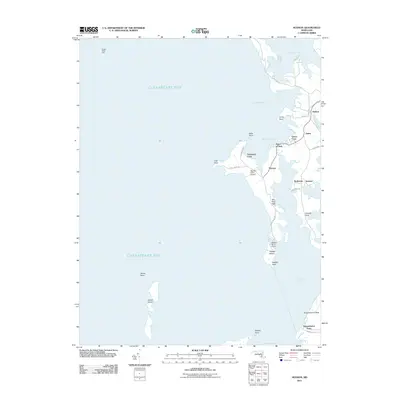 2011 Hudson2011 Print · USGSThe Dorchester County shoreline of the early 21st century comes into focus on this coastal survey. Trace family roots and properties near Hudson, Thomas, and Seabreeze, or locate coastal landmarks like Sharps Island Light and James Island.
 - 2011 Map of Tilghman, 2011 Print
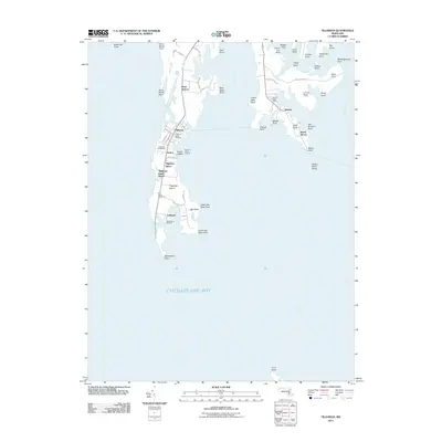 2011 Tilghman2011 Print · USGSTilghman Island and the surrounding Talbot County shoreline are captured in detail during the early twenty-first century. Genealogists and historians can trace the landings and community centers of this waterfront region, from Tilghman and Neavitt to Saint Johns Cemetery.
 - 2011 Map of Fowling Creek, 2011 Print
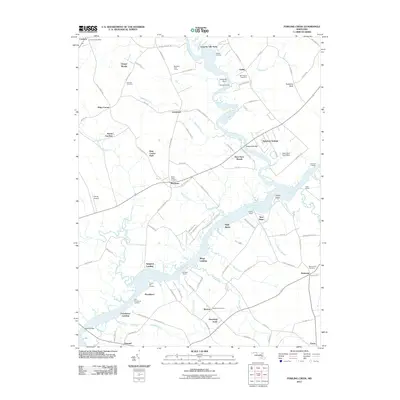 2011 Fowling Creek2011 Print · USGSMaryland's Eastern Shore shows a landscape defined by tidal creeks and river landings during the early twenty-first century. Researchers can trace family history through several local burial sites like Kings Creek Cemetery and explore old riverside points including Wings Landing and Providence Landing.
 - 2011 Map of Kent Island, 2011 Print
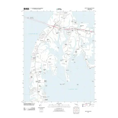 2011 Kent Island2011 Print · USGSKent Island is captured at a moment of significant coastal development and preserved maritime history. Genealogists and local historians can trace family ties at Wesley Cemetery or Stevensville Cemetery, and explore established communities from Dominion to Matapeake.
 - 2011 Map of Oxford, 2011 Print
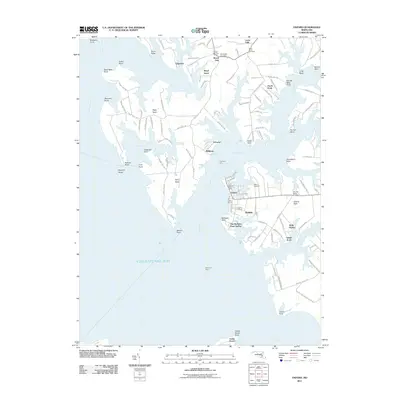 2011 Oxford2011 Print · USGSThe Eastern Shore of Talbot County is shown here in the early 21st century, centered on the historic maritime hub of Oxford. Trace family roots and local landmarks from Bellevue to Royal Oak, or locate sites like the Old John Wesley Cemetery and the Tred Avon Ferry.
 - 2011 Map of Claiborne, 2011 Print
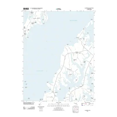 2011 Claiborne2011 Print · USGSMaryland's Eastern Shore shoreline is intricately detailed in this early 21st-century study of the Bay's necks and inlets. Genealogists and historians can trace local community hubs like the Claiborne Post Office and Bozman, or locate family sites near Saint James Cemetery and Lowes Wharf.
 - 2011 Map of Saint Michaels, 2011 Print
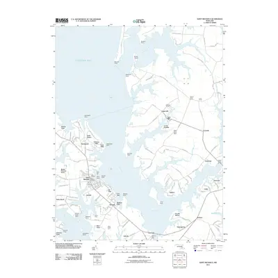 2011 Saint Michaels2011 Print · USGSCoastal Maryland's Eastern Shore shows its maritime character in this early twenty-first-century survey of the Talbot County waterfront. Genealogists and local historians can trace family-named points and historic landings from Leeds Landing to the old settlement at Tunis Mills.
 - 2011 Map of Deale OE E, 2011 Print
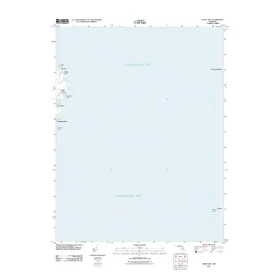 2011 Deale OE E2011 Print · USGSCoastal Anne Arundel County comes into focus in the early 2000s, showing the residential waterfront and open bay. Trace the development of shore communities like Idlewilde, Snug Harbor, and Columbia Beach or locate family property near Kent Point Manor.
 - 2014 Map of Ridgely, 2014 Print
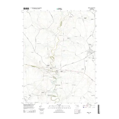 2014 Ridgely2014 Print · USGSMaryland's Eastern Shore is mapped here in the early twenty-first century, showing the established rural crossroads where three counties meet. Researchers can trace family sites near Saint Pauls Cem, the historic riverfront at Rolph Landing, and the street patterns of Ridgely.
 - 2014 Map of Wye Mills, 2014 Print
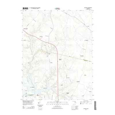 2014 Wye Mills2014 Print · USGSThe Eastern Shore borderlands of Queen Anne's and Talbot counties are captured here in the early twenty-first century. Researchers can trace rural lineages through the John Wesley Church-Cem, Old Saint Joseph Cem, and historic hubs like Wye Mills.
 - 2014 Map of Cambridge, 2014 Print
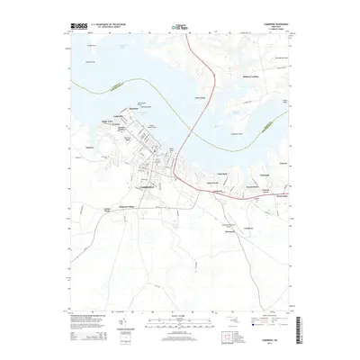 2014 Cambridge2014 Print · USGSThe Eastern Shore community of Cambridge and its surrounding Dorchester County shoreline are captured here in the mid-2010s. Researchers can trace family sites across the landscape, from Patamoke Village to historical grounds like Cambridge Cemetery and Bethel Cemetery.
 - 2014 Map of Easton, 2014 Print
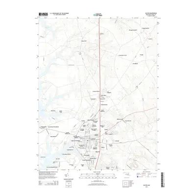 2014 Easton2014 Print · USGSMaryland's Eastern Shore hub of Easton is captured here in the early twenty-first century, showing the town's significant suburban expansion. Genealogists and historians can trace local family lineages through All Saints Cem and the Third Haven Meeting Burial Ground.
 - 2014 Map of Trappe, 2014 Print
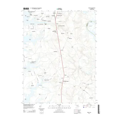 2014 Trappe2014 Print · USGSThe shorelines and farmsteads south of Easton are shown here during a period of modern residential growth. Genealogists can locate several smaller burial grounds such as Round Top Graveyard, Hole-in-the Wall Cem, and Landing Neck Cem.
 - 2014 Map of Preston, 2014 Print
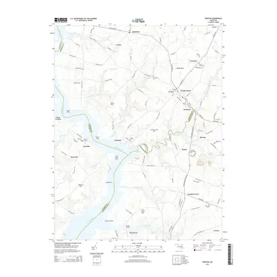 2014 Preston2014 Print · USGSThe Eastern Shore landscape near Preston is captured here in the early 21st century, showing a region defined by its winding riverbanks and deep-rooted settlements. Trace family history through numerous sites like Maryland Veterans Cem, Coppins Chapel Cem, and Belmont Cem.
 - 2014 Map of East New Market, 2014 Print
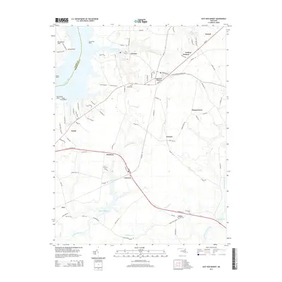 2014 East New Market2014 Print · USGSDorchester County's Eastern Shore is captured here in the early 2010s, showing a landscape shaped by tidal rivers and agricultural tradition. You can trace family roots at Mt Pleasant Cem or explore the waterfront around Secretary and Cedar Grove Beach.
 - 2014 Map of Fowling Creek, 2014 Print
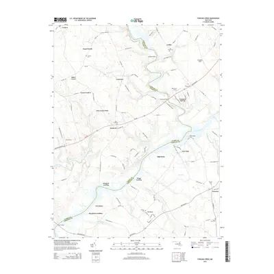 2014 Fowling Creek2014 Print · USGSMaryland's Eastern Shore river culture is on display here during the early twenty-first century as the Choptank River winds through the landscape. Researchers can trace ancestral connections at Kings Creek Cem or explore historic waterfront sites like Providence Landing and Wings Landing.
Showing maps 1-25 of 74
Top cities of Talbot County
Frequently asked questions
- What are the different types of historical maps available for Talbot County?
- What is the oldest map of Talbot County?
- Where can I purchase historical maps of Talbot County for my home or office?
- Where can I download high-res historical maps of Talbot County?
- Are there historical topographic maps available for Talbot County?
- Is there historical aerial imagery available for Talbot County?
- Where are historical maps of Talbot County sourced from?