2020s Maps of Gloucester, Massachusetts
Explore 12 historic maps of Gloucester from the 2020s. These maps offer a rare glimpse into what life looked like during the 2020s — showing old roads, neighborhoods, homes, and landmarks that have changed or disappeared over time.
Whether you're researching your family's past, planning a metal detecting trip, or studying how Gloucester's landscape evolved across the 2020s, these high-resolution maps are a powerful tool for exploring the history of this region.
- Focus on a specific era: All maps on this page are from the 2020s, giving you a focused view of this time period.
- See what’s changed: Compare century-old streets, trails, and buildings to today's modern landscape using overlays and satellite layers.
- Research with precision: Use these maps for genealogy, historical research, land use analysis, or educational projects.
- View, download, or print: Maps are fully viewable online in high resolution, and can be downloaded or printed for your own records.
Start exploring Gloucester's history through authentic maps from the 2020s. This is your window into the past.
Gloucester, MA maps
(12)- 2021 Map of Rockport, 2021 Print
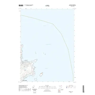 2021 Rockport2021 Print · USGSCovers Gloucester, including Rockport, Eden Square, and other nearby areas
 - 2021 Map of Rockport OE S, 2021 Print
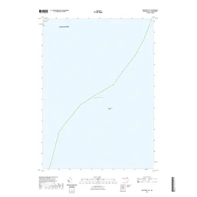 2021 Rockport OE S2021 Print · USGSCovers Gloucester, including Rockport, Essex County, and other nearby areas
 - 2021 Map of Gloucester OE N, 2021 Print
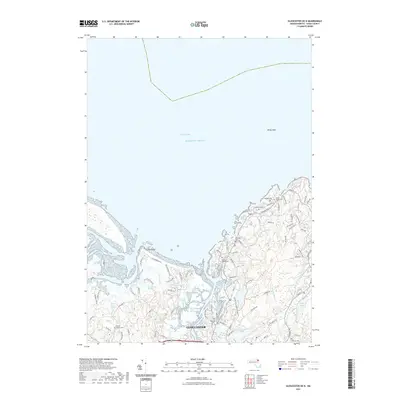 2021 Gloucester OE N2021 Print · USGSCovers Gloucester, including Ipswich, Rockport, and other nearby areas
 - 2021 Map of Gloucester, 2021 Print
 2021 Gloucester2021 Print · USGSCovers Gloucester, including Salem, Beverly, and other nearby areas
 - 2021 Map of Marblehead North, 2021 Print
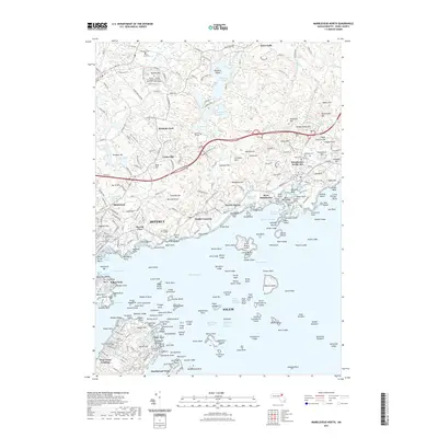 2021 Marblehead North2021 Print · USGSCovers Gloucester, including Salem, Beverly, and other nearby areas
 - 2021 Map of Ipswich, 2021 Print
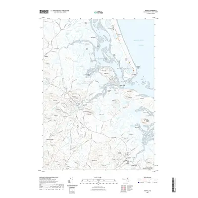 2021 Ipswich2021 Print · USGSCovers Gloucester, including Ipswich, Hamilton, and other nearby areas
 - 2024 Map of Ipswich, 2024 Print
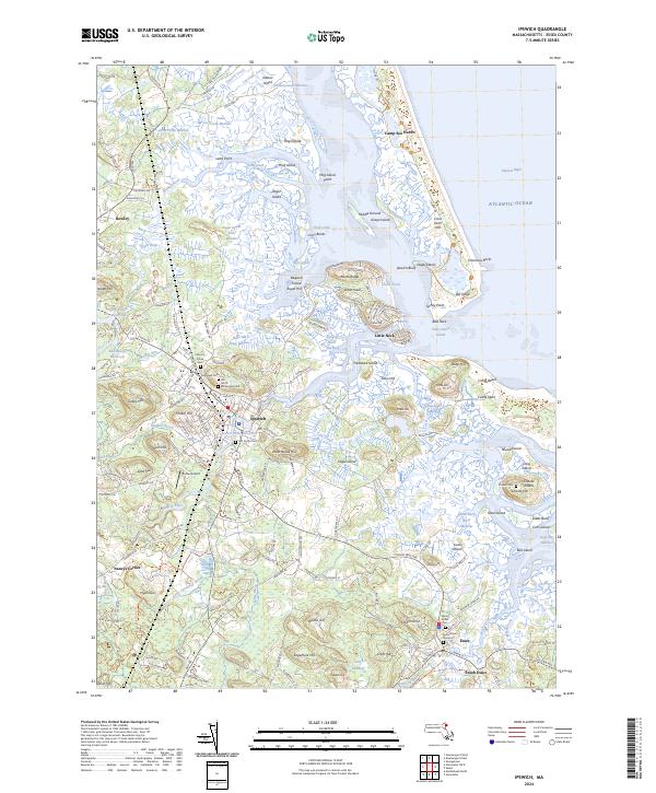 2024 Ipswich2024 Print · USGSThe salt marshes and barrier islands of the Massachusetts North Shore are beautifully documented in this modern survey of the Ipswich and Essex coastline. Researchers can locate historic burial sites like the Old North Burying Ground or trace the winding channels of Paine Creek and the Egypt River.
 - 2024 Map of Rockport OE S, 2024 Print
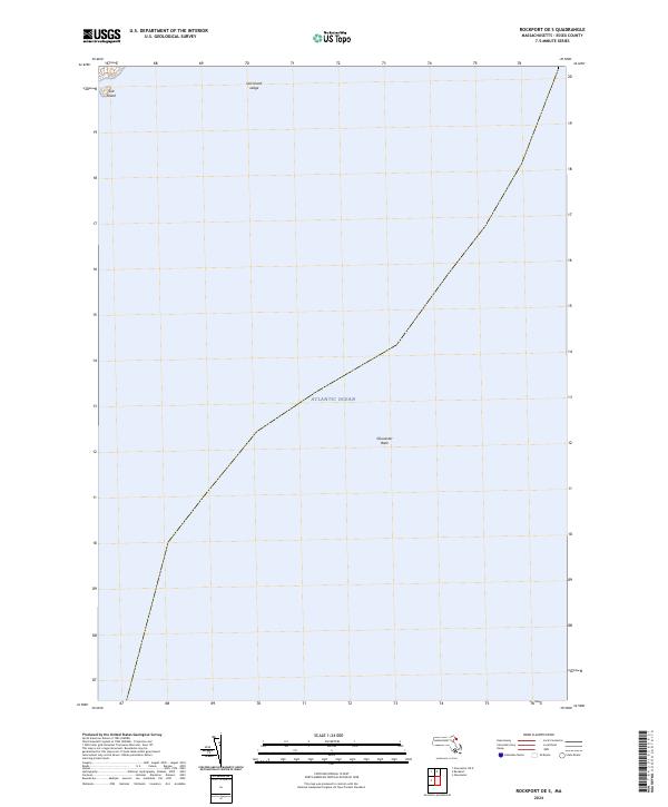 2024 Rockport OE S2024 Print · USGSThe waters off Cape Ann are captured in this maritime survey, documenting the coastline and submarine features of Essex County today. Researchers and mariners can locate offshore landmarks like Salt Island and the submerged depths of Gloucester Bank.
 - 2024 Map of Rockport, 2024 Print
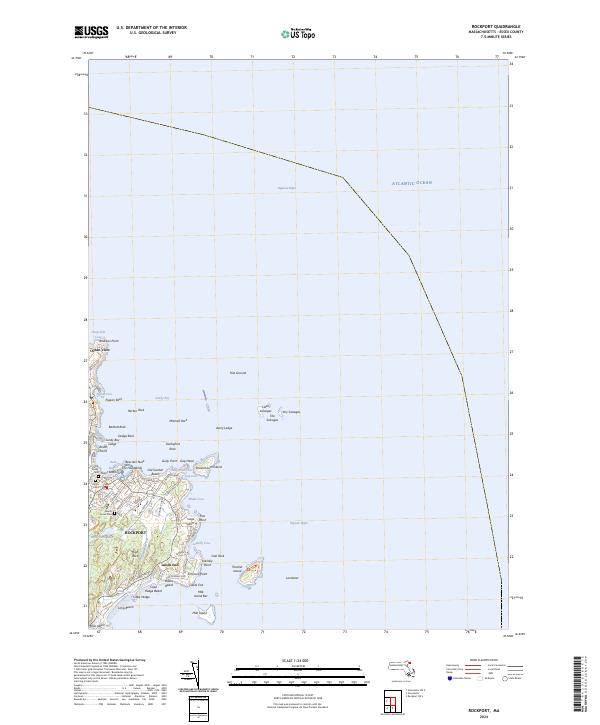 2024 Rockport2024 Print · USGSCoastal Rockport and the eastern edge of Cape Ann are documented here at the start of the 2020s. Researchers can locate several burial grounds like Old Parish Cem and trace the rocky shoreline through Bearskin Neck and the offshore Thacher Island.
 - 2024 Map of Marblehead North, 2024 Print
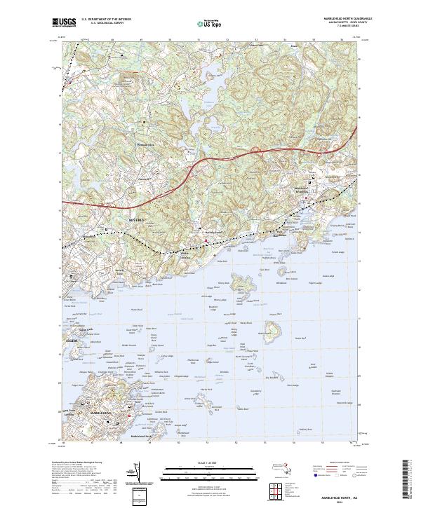 2024 Marblehead North2024 Print · USGSThe North Shore coastline comes into focus in the mid-2020s, showing the intersection of maritime history and modern residential life. Researchers can locate several historic cemeteries such as Burial Hill and Iron Rail Cem, or trace the grounds of Endicott College and Fort Pickering.
 - 2024 Map of Gloucester OE N, 2024 Print
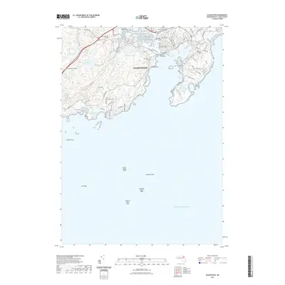
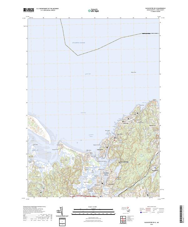 2024 Gloucester OE N2024 Print · USGSThe rugged granite coastline of Cape Ann is captured in this modern survey of the harbors and quarries surrounding GLOUCESTER. Trace family roots through numerous burial sites like Locust Grove Cem and Bayview Cem, or locate historic industrial sites such as Bay State Quarry.
 - 2024 Map of Gloucester, 2024 Print
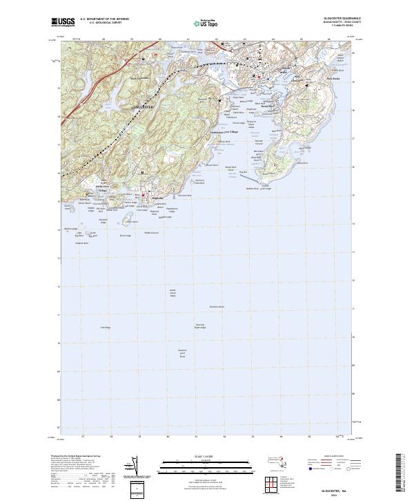 2024 Gloucester2024 Print · USGSThe maritime legacy of the Massachusetts coast is on full display in this 2024 survey of Gloucester and its rugged Atlantic shoreline. Researchers can trace historic burial sites like the First Parish Burial Ground and landmarks such as Rocky Neck and the Blynman Canal.
End of results
Showing maps 1-12 of 12
Top cities near Gloucester
- Lynn historical maps
- Salem historical maps
- Beverly historical maps
- Marblehead historical maps
- Newburyport historical maps
- Swampscott historical maps
See more
Top neighborhoods of Gloucester
- Rocky Neck historical maps
- Bass Rocks historical maps
- Five Pound Island historical maps
- Freshwater Cove Village historical maps
- Riverdale historical maps
- Riverview historical maps
See more
Frequently asked questions
- What are the different types of historical maps available for Gloucester?
- What is the oldest map of Gloucester?
- Where can I purchase historical maps of Gloucester for my home or office?
- Where can I download high-res historical maps of Gloucester?
- Are there historical topographic maps available for Gloucester?
- Is there historical aerial imagery available for Gloucester?
- Where are historical maps of Gloucester sourced from?