2020s Maps of Franklin County, Massachusetts
Explore 42 historic maps of Franklin County from the 2020s. These maps offer a rare glimpse into what life looked like during the 2020s — showing old roads, neighborhoods, homes, and landmarks that have changed or disappeared over time.
Whether you're researching your family's past, planning a metal detecting trip, or studying how Franklin County's landscape evolved across the 2020s, these high-resolution maps are a powerful tool for exploring the history of this region.
- Focus on a specific era: All maps on this page are from the 2020s, giving you a focused view of this time period.
- See what’s changed: Compare century-old streets, trails, and buildings to today's modern landscape using overlays and satellite layers.
- Research with precision: Use these maps for genealogy, historical research, land use analysis, or educational projects.
- View, download, or print: Maps are fully viewable online in high resolution, and can be downloaded or printed for your own records.
Start exploring Franklin County's history through authentic maps from the 2020s. This is your window into the past.
Franklin County, MA maps
(42)- 2021 Map of Colrain, 2021 Print
 2021 Colrain2021 Print · USGSCovers Franklin County, including Greenfield, Guilford, and other nearby areas
 - 2021 Map of Plainfield, 2021 Print
 2021 Plainfield2021 Print · USGSCovers Franklin County, including Ashfield, Charlemont, and other nearby areas
 - 2021 Map of Quabbin Reservoir, 2021 Print
 2021 Quabbin Reservoir2021 Print · USGSCovers Franklin County, including Hardwick, Shutesbury, and other nearby areas
 - 2021 Map of Royalston, 2021 Print
 2021 Royalston2021 Print · USGSCovers Franklin County, including Athol, Templeton, and other nearby areas
 - 2021 Map of Rowe, 2021 Print
 2021 Rowe2021 Print · USGSCovers Franklin County, including Charlemont, Florida, and other nearby areas
 - 2021 Map of Millers Falls, 2021 Print
 2021 Millers Falls2021 Print · USGSCovers Franklin County, including Montague, Northfield, and other nearby areas
 - 2021 Map of Orange, 2021 Print
 2021 Orange2021 Print · USGSCovers Franklin County, including Athol, Orange, and other nearby areas
 - 2021 Map of Ashfield, 2021 Print
 2021 Ashfield2021 Print · USGSCovers Franklin County, including Buckland, Conway, and other nearby areas
 - 2021 Map of Shutesbury, 2021 Print
 2021 Shutesbury2021 Print · USGSCovers Franklin County, including Amherst, Leverett, and other nearby areas
 - 2021 Map of Mount Toby, 2021 Print
 2021 Mount Toby2021 Print · USGSCovers Franklin County, including Amherst, Hadley, and other nearby areas
 - 2021 Map of Heath, 2021 Print
 2021 Heath2021 Print · USGSCovers Franklin County, including Colrain, Charlemont, and other nearby areas
 - 2021 Map of North Adams, 2021 Print
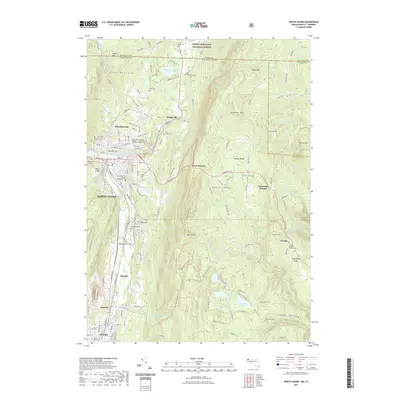 2021 North Adams2021 Print · USGSCovers Franklin County, including North Adams, Adams, and other nearby areas
 - 2021 Map of Williamsburg, 2021 Print
 2021 Williamsburg2021 Print · USGSCovers Franklin County, including Northampton, Deerfield, and other nearby areas
 - 2021 Map of Winsor Dam, 2021 Print
 2021 Winsor Dam2021 Print · USGSCovers Franklin County, including Belchertown, Ware, and other nearby areas
 - 2021 Map of Greenfield, 2021 Print
 2021 Greenfield2021 Print · USGSCovers Franklin County, including Greenfield, Montague, and other nearby areas
 - 2021 Map of Athol, 2021 Print
 2021 Athol2021 Print · USGSCovers Franklin County, including Athol, Templeton, and other nearby areas
 - 2021 Map of Bernardston, 2021 Print
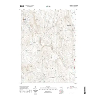
 2021 Bernardston2021 Print · USGSCovers Franklin County, including Greenfield, Northfield, and other nearby areas
 - 2021 Map of Shelburne Falls, 2021 Print
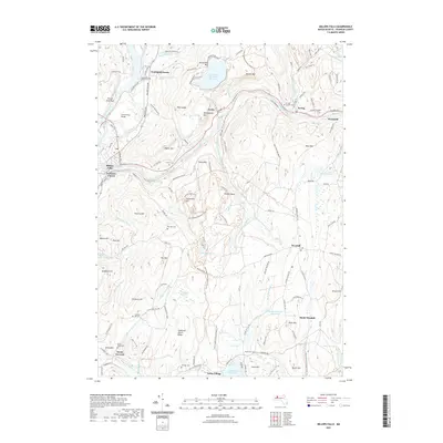
 2021 Shelburne Falls2021 Print · USGSCovers Franklin County, including Greenfield, Deerfield, and other nearby areas
 - 2021 Map of Northfield, 2021 Print
 2021 Northfield2021 Print · USGSCovers Franklin County, including Winchester, Northfield, and other nearby areas
 - 2021 Map of Mount Grace, 2021 Print
 2021 Mount Grace2021 Print · USGSCovers Franklin County, including Orange, Winchester, and other nearby areas
 - 2021 Map of Goshen, 2021 Print
 2021 Goshen2021 Print · USGSCovers Franklin County, including Williamsburg, Conway, and other nearby areas
 - 2024 Map of Goshen, 2024 Print
 2024 Goshen2024 Print · USGSHampshire County hill towns are documented here in the early twenty-first century, showcasing the terrain around Goshen and Chesterfield. Genealogists and historians can trace family plots at Goshen Cem or locate old crossing points along the WESTFIELD WILD AND SCENIC RIVER.
 - 2024 Map of Colrain, 2024 Print
 2024 Colrain2024 Print · USGSThe North River valley in Franklin County comes to life in this recent study, showing the persistent settlement patterns between Colrain and the Vermont border. You can trace family roots through several burial grounds, including Grove Cem and Billings Cem, or locate historic mill sites in Shattuckville and Foundry Village.
 - 2024 Map of Ashfield, 2024 Print
 2024 Ashfield2024 Print · USGSFranklin County's upland villages and winding river valleys are captured here in the contemporary era. Genealogists and local historians can trace family locations through numerous rural burial sites like Spruce Corner Cem and historic hamlets such as Dodge Corner.
 - 2024 Map of Mount Grace, 2024 Print
 2024 Mount Grace2024 Print · USGSThe northern borderlands of Massachusetts and New Hampshire come to life in this recent survey of the Franklin and Worcester county lines. Genealogists and local historians can locate early settlement traces at Baptist Corners, Warwick Cem, and Richards Mill Pond.
Showing maps 1-25 of 42
Top cities of Franklin County
- Greenfield historical maps
- Montague historical maps
- Orange historical maps
- Deerfield historical maps
- Sunderland historical maps
- Northfield historical maps
See more
Frequently asked questions
- What are the different types of historical maps available for Franklin County?
- What is the oldest map of Franklin County?
- Where can I purchase historical maps of Franklin County for my home or office?
- Where can I download high-res historical maps of Franklin County?
- Are there historical topographic maps available for Franklin County?
- Is there historical aerial imagery available for Franklin County?
- Where are historical maps of Franklin County sourced from?