2000s (21st Century) Maps of Plymouth County, Massachusetts
Explore 142 historic maps of Plymouth County from the 2000s (21st Century). These maps offer a rare glimpse into what life looked like during the 2000s — showing old roads, neighborhoods, homes, and landmarks that have changed or disappeared over time.
Whether you're researching your family's past, planning a metal detecting trip, or studying how Plymouth County's landscape evolved across the 2000s, these high-resolution maps are a powerful tool for exploring the history of this region.
- Focus on a specific era: All maps on this page are from the 2000s, giving you a focused view of this time period.
- See what’s changed: Compare century-old streets, trails, and buildings to today's modern landscape using overlays and satellite layers.
- Research with precision: Use these maps for genealogy, historical research, land use analysis, or educational projects.
- View, download, or print: Maps are fully viewable online in high resolution, and can be downloaded or printed for your own records.
Start exploring Plymouth County's history through authentic maps from the 2000s. This is your window into the past.
Plymouth County, MA maps
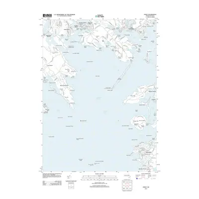
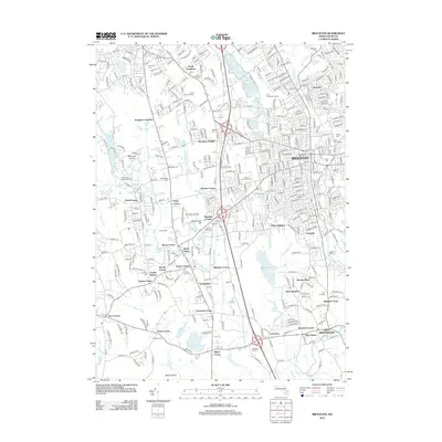
(142)- 2012 Map of Taunton, 2012 Print
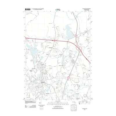 2012 Taunton2012 Print · USGSCovers Plymouth County, including Taunton, Bridgewater, and other nearby areas
 - 2012 Map of Assonet, 2012 Print
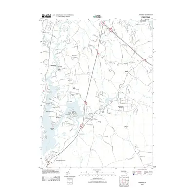 2012 Assonet2012 Print · USGSCovers Plymouth County, including Fall River, Taunton, and other nearby areas
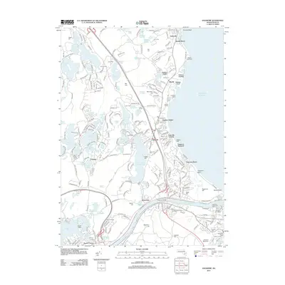
 - 2012 Map of Marion, 2012 Print
 2012 Marion2012 Print · USGSCovers Plymouth County, including Wareham, Fairhaven, and other nearby areas
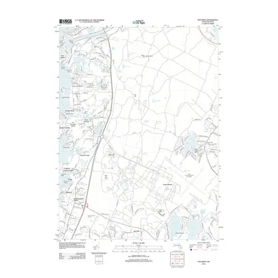
 - 2012 Map of Plympton, 2012 Print
 2012 Plympton2012 Print · USGSCovers Plymouth County, including Plymouth, Kingston, and other nearby areas
 - 2012 Map of Sagamore, 2012 Print
 2012 Sagamore2012 Print · USGSCovers Plymouth County, including Plymouth, Wareham, and other nearby areas
 - 2012 Map of Plymouth, 2012 Print
 2012 Plymouth2012 Print · USGSCovers Plymouth County, including Plymouth, Duxbury, and other nearby areas
 - 2012 Map of Pocasset, 2012 Print
 2012 Pocasset2012 Print · USGSCovers Plymouth County, including Falmouth, Wareham, and other nearby areas
 - 2012 Map of Manomet, 2012 Print
 2012 Manomet2012 Print · USGSCovers Plymouth County, including Plymouth, Churchill Landing, and other nearby areas
 - 2012 Map of Sandwich OE N, 2012 Print
 2012 Sandwich OE N2012 Print · USGSCovers Plymouth County, including Plymouth, Sandwich, and other nearby areas
 - 2012 Map of Wareham, 2012 Print
 2012 Wareham2012 Print · USGSCovers Plymouth County, including Plymouth, Wareham, and other nearby areas
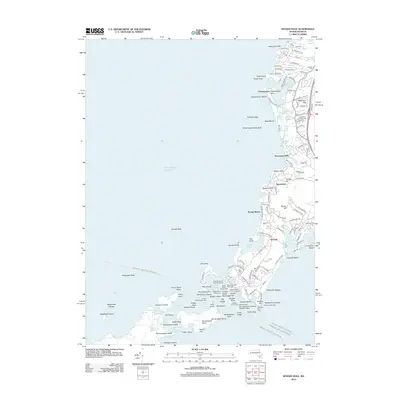
 - 2012 Map of Nantasket Beach, 2012 Print
 2012 Nantasket Beach2012 Print · USGSCovers Plymouth County, including Boston, Hingham, and other nearby areas
 - 2012 Map of Duxbury OE E, 2012 Print
 2012 Duxbury OE E2012 Print · USGSCovers Plymouth County, including Plymouth, Marshfield, and other nearby areas
 - 2012 Map of Assawompset Pond, 2012 Print
 2012 Assawompset Pond2012 Print · USGSCovers Plymouth County, including Taunton, Lakeville, and other nearby areas
 - 2012 Map of Bridgewater, 2012 Print
 2012 Bridgewater2012 Print · USGSCovers Plymouth County, including Taunton, Bridgewater, and other nearby areas
 - 2012 Map of Snipatuit Pond, 2012 Print
 2012 Snipatuit Pond2012 Print · USGSCovers Plymouth County, including Wareham, Carver, and other nearby areas
 - 2012 Map of Cohasset, 2012 Print
 2012 Cohasset2012 Print · USGSCovers Plymouth County, including Marshfield, Hingham, and other nearby areas
 - 2012 Map of Hanover, 2012 Print
 2012 Hanover2012 Print · USGSCovers Plymouth County, including Marshfield, Pembroke, and other nearby areas
 - 2012 Map of Onset, 2012 Print
 2012 Onset2012 Print · USGSCovers Plymouth County, including Falmouth, Wareham, and other nearby areas
 - 2012 Map of New Bedford North, 2012 Print
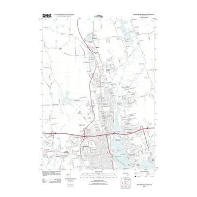 2012 New Bedford North2012 Print · USGSCovers Plymouth County, including New Bedford, Dartmouth, and other nearby areas
 - 2012 Map of Weymouth, 2012 Print
 2012 Weymouth2012 Print · USGSCovers Plymouth County, including Quincy, Weymouth, and other nearby areas
 - 2012 Map of Blue Hills, 2012 Print
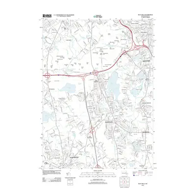 2012 Blue Hills2012 Print · USGSCovers Plymouth County, including Boston, Brockton, and other nearby areas
 - 2012 Map of Brockton, 2012 Print
 2012 Brockton2012 Print · USGSCovers Plymouth County, including Brockton, Stoughton, and other nearby areas
 - 2012 Map of Woods Hole, 2012 Print
 2012 Woods Hole2012 Print · USGSCovers Plymouth County, including Falmouth, Mattapoisett, and other nearby areas
 - 2012 Map of Sconticut Neck, 2012 Print
 2012 Sconticut Neck2012 Print · USGSCovers Plymouth County, including Falmouth, Fairhaven, and other nearby areas
 - 2012 Map of Whitman, 2012 Print
 2012 Whitman2012 Print · USGSCovers Plymouth County, including Brockton, Bridgewater, and other nearby areas
Showing maps 1-25 of 142
Top cities of Plymouth County
- Brockton historical maps
- Plymouth historical maps
- Bridgewater historical maps
- Marshfield historical maps
- Hingham historical maps
- Wareham historical maps
See more
Frequently asked questions
- What are the different types of historical maps available for Plymouth County?
- What is the oldest map of Plymouth County?
- Where can I purchase historical maps of Plymouth County for my home or office?
- Where can I download high-res historical maps of Plymouth County?
- Are there historical topographic maps available for Plymouth County?
- Is there historical aerial imagery available for Plymouth County?
- Where are historical maps of Plymouth County sourced from?