2000s (21st Century) Maps of Manlius Township, Michigan
Explore 20 historic maps of Manlius Township from the 2000s (21st Century). These maps offer a rare glimpse into what life looked like during the 2000s — showing old roads, neighborhoods, homes, and landmarks that have changed or disappeared over time.
Whether you're researching your family's past, planning a metal detecting trip, or studying how Manlius Township's landscape evolved across the 2000s, these high-resolution maps are a powerful tool for exploring the history of this region.
- Focus on a specific era: All maps on this page are from the 2000s, giving you a focused view of this time period.
- See what’s changed: Compare century-old streets, trails, and buildings to today's modern landscape using overlays and satellite layers.
- Research with precision: Use these maps for genealogy, historical research, land use analysis, or educational projects.
- View, download, or print: Maps are fully viewable online in high resolution, and can be downloaded or printed for your own records.
Start exploring Manlius Township's history through authentic maps from the 2000s. This is your window into the past.
Manlius Township, MI maps
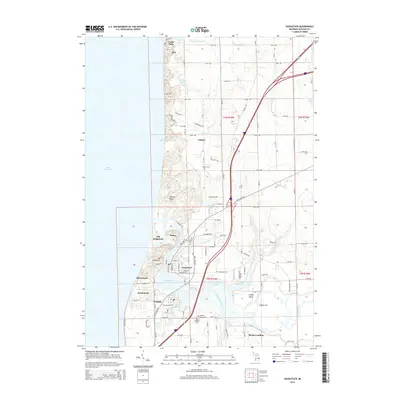
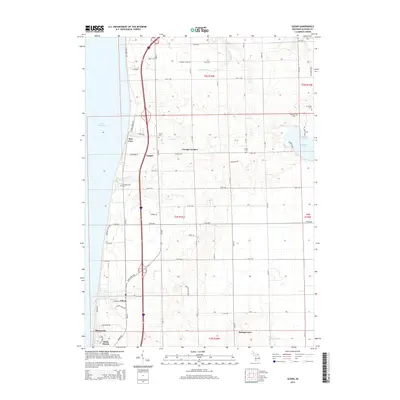
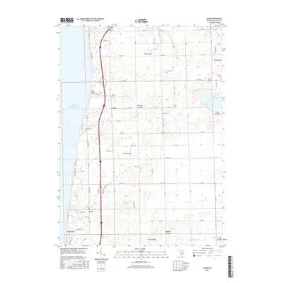
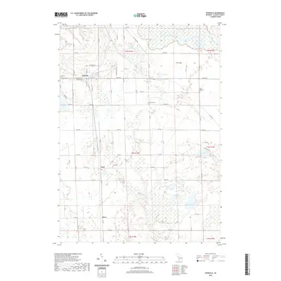
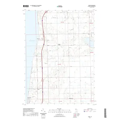
(20)- 2011 Map of Glenn, 2011 Print
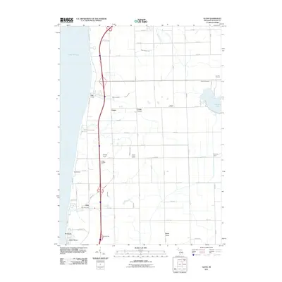 2011 Glenn2011 Print · USGSCovers Manlius Township, including Ganges, Spring Grove, and other nearby areas
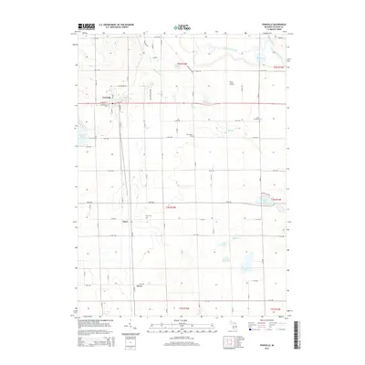
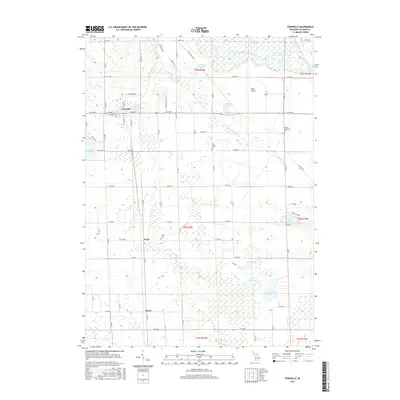
 - 2011 Map of Fennville, 2011 Print
 2011 Fennville2011 Print · USGSCovers Manlius Township, including Fennville, Cheshire Township, and other nearby areas
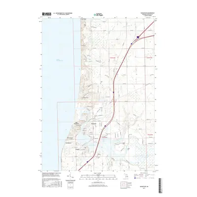
 - 2011 Map of Saugatuck, 2011 Print
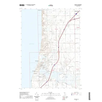
 2011 Saugatuck2011 Print · USGSCovers Manlius Township, including Holland, Douglas, and other nearby areas
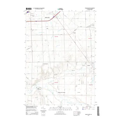
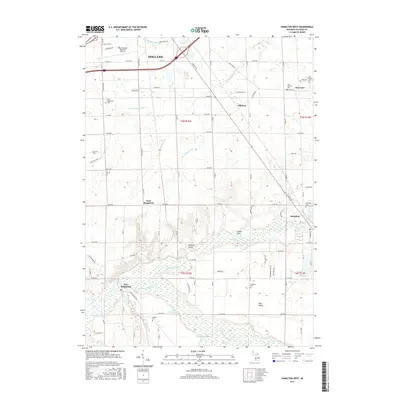
 - 2011 Map of Hamilton West, 2011 Print
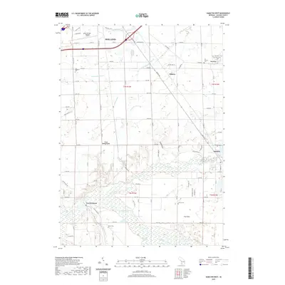
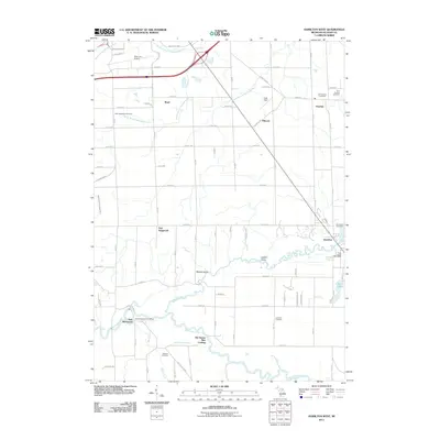 2011 Hamilton West2011 Print · USGSCovers Manlius Township, including Holland, Overisel, and other nearby areas
 - 2014 Map of Saugatuck, 2014 Print
 2014 Saugatuck2014 Print · USGSCovers Manlius Township, including Holland, Douglas, and other nearby areas
 - 2014 Map of Fennville, 2014 Print
 2014 Fennville2014 Print · USGSCovers Manlius Township, including Fennville, Cheshire Township, and other nearby areas
 - 2014 Map of Glenn, 2014 Print
 2014 Glenn2014 Print · USGSCovers Manlius Township, including Ganges, Spring Grove, and other nearby areas
 - 2014 Map of Hamilton West, 2014 Print
 2014 Hamilton West2014 Print · USGSCovers Manlius Township, including Holland, Overisel, and other nearby areas
 - 2017 Map of Hamilton West, 2017 Print
 2017 Hamilton West2017 Print · USGSCovers Manlius Township, including Holland, Overisel, and other nearby areas
 - 2017 Map of Glenn, 2017 Print
 2017 Glenn2017 Print · USGSCovers Manlius Township, including Ganges, Spring Grove, and other nearby areas
 - 2017 Map of Fennville, 2017 Print
 2017 Fennville2017 Print · USGSCovers Manlius Township, including Fennville, Cheshire Township, and other nearby areas
 - 2017 Map of Saugatuck, 2017 Print
 2017 Saugatuck2017 Print · USGSCovers Manlius Township, including Holland, Douglas, and other nearby areas
 - 2019 Map of Fennville, 2019 Print
 2019 Fennville2019 Print · USGSCovers Manlius Township, including Fennville, Cheshire Township, and other nearby areas
 - 2019 Map of Saugatuck, 2019 Print
 2019 Saugatuck2019 Print · USGSCovers Manlius Township, including Holland, Douglas, and other nearby areas
 - 2019 Map of Glenn, 2019 Print
 2019 Glenn2019 Print · USGSCovers Manlius Township, including Ganges, Spring Grove, and other nearby areas
 - 2019 Map of Hamilton West, 2019 Print
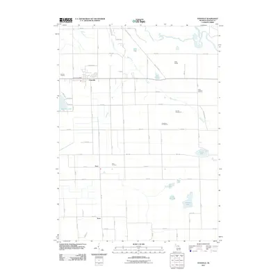
 2019 Hamilton West2019 Print · USGSCovers Manlius Township, including Holland, Overisel, and other nearby areas
 - 2023 Map of Fennville, 2023 Print
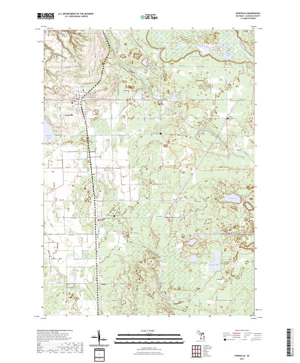 2023 Fennville2023 Print · USGSAllegan County's agricultural and wetland landscapes come into focus in this contemporary survey of the area around Fennville. Genealogists and local historians can trace modern property boundaries near Pearl, Bravo, and old burial grounds like Oak Grove Cem.
 - 2023 Map of Glenn, 2023 Print
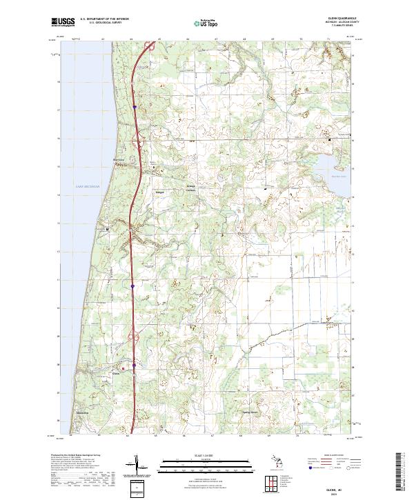 2023 Glenn2023 Print · USGSThe Lake Michigan shoreline of Allegan County comes alive in this survey of historic fruit-growing country. Genealogists can locate family sites near Ganges, Glenn, and several community burial grounds including Taylor Cem and Loomis Cem.
 - 2023 Map of Saugatuck, 2023 Print
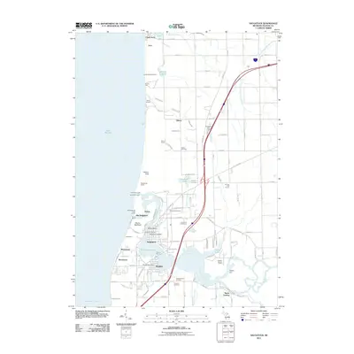
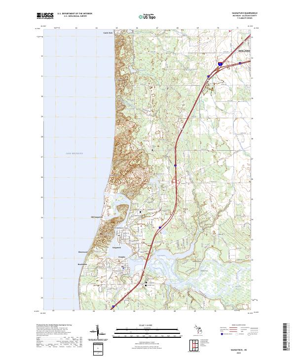 2023 Saugatuck2023 Print · USGSThe Lake Michigan shoreline at Saugatuck and Douglas appears here in its modern coastal configuration. Researchers can trace the layout of Old Saugatuck, locate local resting places like Riverside Cem, and follow the banks of the Kalamazoo River.
 - 2023 Map of Hamilton West, 2023 Print
 2023 Hamilton West2023 Print · USGSAllegan County’s river valleys and rural townships are documented in this recent survey. Local historians can trace family roots through the Overisel Settlers Cem and Riverside Cem or study the wetlands of the Kalamazoo River and Ottawa Marsh.
End of results
Showing maps 1-20 of 20
Top cities near Manlius Township
- Holland historical maps
- Hudsonville historical maps
- Zeeland historical maps
- South Haven historical maps
- Allegan historical maps
- Lee historical maps
See more
Top neighborhoods of Manlius Township
Frequently asked questions
- What are the different types of historical maps available for Manlius Township?
- What is the oldest map of Manlius Township?
- Where can I purchase historical maps of Manlius Township for my home or office?
- Where can I download high-res historical maps of Manlius Township?
- Are there historical topographic maps available for Manlius Township?
- Is there historical aerial imagery available for Manlius Township?
- Where are historical maps of Manlius Township sourced from?