2010s Maps of Ford River Township, Michigan
Explore 28 historic maps of Ford River Township from the 2010s. These maps offer a rare glimpse into what life looked like during the 2010s — showing old roads, neighborhoods, homes, and landmarks that have changed or disappeared over time.
Whether you're researching your family's past, planning a metal detecting trip, or studying how Ford River Township's landscape evolved across the 2010s, these high-resolution maps are a powerful tool for exploring the history of this region.
- Focus on a specific era: All maps on this page are from the 2010s, giving you a focused view of this time period.
- See what’s changed: Compare century-old streets, trails, and buildings to today's modern landscape using overlays and satellite layers.
- Research with precision: Use these maps for genealogy, historical research, land use analysis, or educational projects.
- View, download, or print: Maps are fully viewable online in high resolution, and can be downloaded or printed for your own records.
Start exploring Ford River Township's history through authentic maps from the 2010s. This is your window into the past.
Ford River Township, MI maps
(28)- 2011 Map of Bark River, 2011 Print
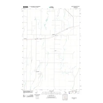 2011 Bark River2011 Print · USGSUpper Peninsula Michigan at the start of the 2010s reveals a landscape of quiet river towns and established tribal settlements. Researchers can trace family history through sites like Hannahville Cemetery, the Bark River Post Office, and the settlement of Indiantown.
 - 2011 Map of Schaffer, 2011 Print
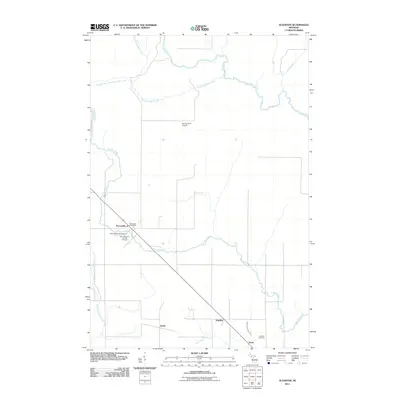 2011 Schaffer2011 Print · USGSThe Upper Peninsula landscape at the start of the 2010s reveals a quiet network of rural settlements and winding river systems. You can trace family roots at Saint Michael's Catholic Cemetery or locate old community hubs like Perronville and Schaffer along the Ford River.
 - 2011 Map of Chandler, 2011 Print
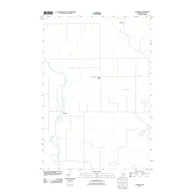 2011 Chandler2011 Print · USGSDelta County's river-cut landscape is captured here in the early twenty-first century, showing a region defined by the winding Ford River. Researchers can locate Flat Rock Cemetery and trace the small communities of Riverland and Flat Rock.
 - 2011 Map of Escanaba, 2011 Print
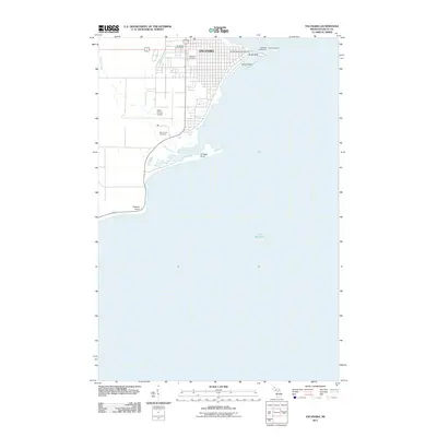 2011 Escanaba2011 Print · USGSThe port city of Escanaba sits along the shores of Little Bay de Noc in the early twenty-first century. Researchers can trace the waterfront development near Sand Point, locate the Escanaba Lighthouse, or find family records at Lakeview Cemetery and Holy Cross Cemetery.
 - 2011 Map of Seagull Point, 2011 Print
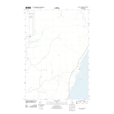 2011 Seagull Point2011 Print · USGSThe Michigan shoreline at Seagull Point and the lower Bark River are captured here as they appeared in the early 2010s. Researchers can locate the Seventh Day Adventist Cemetery and trace the paths of Advent Creek and Deer Creek through this coastal landscape.
 - 2011 Map of Henderson Lakes, 2011 Print
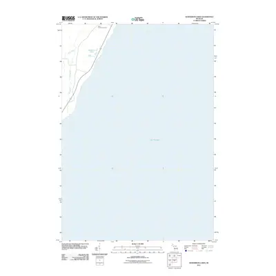 2011 Henderson Lakes2011 Print · USGSCoastal Delta County meets the Bay de Noc during the early twenty-first century, showing the intersection of Michigan’s Upper Peninsula highways and waterways. Genealogists and local historians can locate the South Ford River Cemetery and trace the paths of the Bark River and Henderson Lakes.
 - 2011 Map of Ford River, 2011 Print
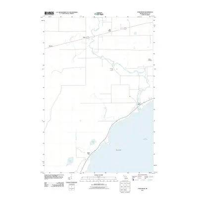 2011 Ford River2011 Print · USGSCoastal Delta County is documented here in the early twenty-first century as the Ford River meets the bay. Genealogists and local historians can trace the rural communities of Narenta and Hyde or locate the West Ford River Cemetery.
 - 2014 Map of Bark River, 2014 Print
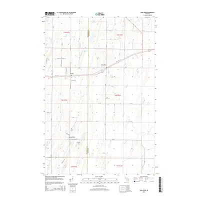 2014 Bark River2014 Print · USGSThe Menominee and Delta County borderlands are shown in detail during the early twenty-first century, centered on the communities of Harris and Bark River. Researchers can trace the legacy of local families through the Bark River Cemetery or follow the historic routes of Old US-2/41 and Old Highway 2/41.
 - 2014 Map of Seagull Point, 2014 Print
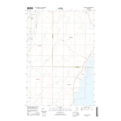 2014 Seagull Point2014 Print · USGSCoastal Delta and Menominee counties are shown here in the early 21st century as the landscape meets the Green Bay shoreline. Researchers can locate the Seventh Day Adventist Church Cem and trace waterways like Degraves Cr to landmarks such as McCarty Bridge.
 - 2014 Map of Schaffer, 2014 Print
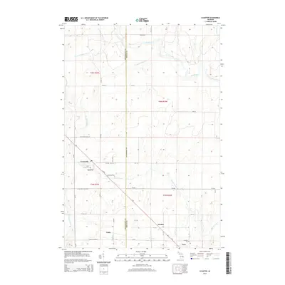 2014 Schaffer2014 Print · USGSUpper Peninsula settlement and hydrology are on display here in the early twenty-first century. Researchers can trace the diagonal corridor linking Perronville and Schaffer, or locate family sites at Saint Michael's Catholic Cem.
 - 2014 Map of Henderson Lakes, 2014 Print
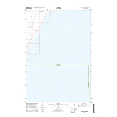 2014 Henderson Lakes2014 Print · USGSThe Michigan Upper Peninsula shoreline comes into focus in this 2014 survey of the Delta and Menominee county line. Genealogists can locate family sites at the S Ford River Cem or trace the winding path of the Bark River toward Lake Michigan.
 - 2014 Map of Chandler, 2014 Print
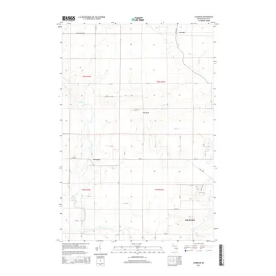 2014 Chandler2014 Print · USGSDelta County's river valleys and rural settlements are captured in this mid-2010s survey as they stretch north from the Lake Michigan coast. Genealogists and local historians can trace the roads and waterways connecting Flat Rock, the Flat Rock Cem, and Riverland.
 - 2014 Map of Escanaba, 2014 Print
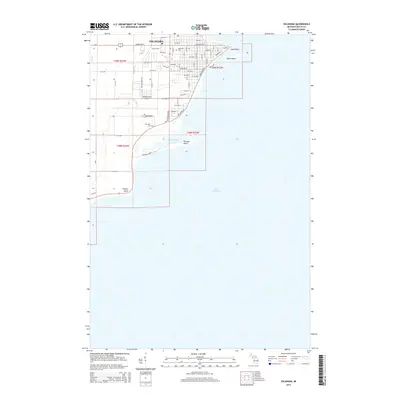 2014 Escanaba2014 Print · USGSThe Michigan waterfront city of Escanaba is captured here in the early twenty-first century as it sits prominently on the shores of Lake Michigan. Genealogists and historians can trace the urban grid out to Sand Point or locate local burials at Lakeview Cem and Holy Cross Cem.
 - 2014 Map of Ford River, 2014 Print
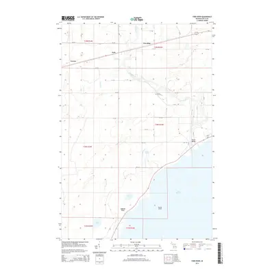 2014 Ford River2014 Print · USGSCoastal Delta County settlements and the winding Ford River are captured here in the early twenty-first century. Researchers can locate family landmarks at the W Ford River Cem or trace the development of Hyde, Narenta, and Pine Ridge.
 - 2017 Map of Chandler, 2017 Print
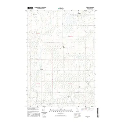 2017 Chandler2017 Print · USGSDelta County's river-cut landscape is detailed here in the late 2010s, showing the rural communities between Escanaba and the interior. Researchers can locate Flat Rock Cem, trace the Escanaba to Hermansville State Trail, and follow the banks of the Ford River.
 - 2017 Map of Henderson Lakes, 2017 Print
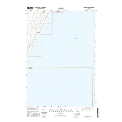 2017 Henderson Lakes2017 Print · USGSThe Lake Michigan shoreline of Delta County is documented in the mid-2010s, capturing the rural interface where the Upper Peninsula meets Green Bay. Local researchers can locate South Ford River Cems and trace the paths of Bark River and Co Rd 535 through the coastal wetlands.
 - 2017 Map of Bark River, 2017 Print
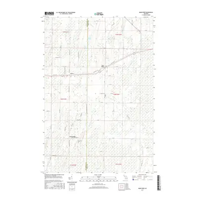 2017 Bark River2017 Print · USGSThe borderlands of Delta and Menominee Counties come into focus in the late 2010s, showing the intersection of rural life and natural wetlands. Genealogists and local researchers can locate Bark River Cemetery, Hannahville, and the family-named roads like Veeser Rd.
 - 2017 Map of Ford River, 2017 Print
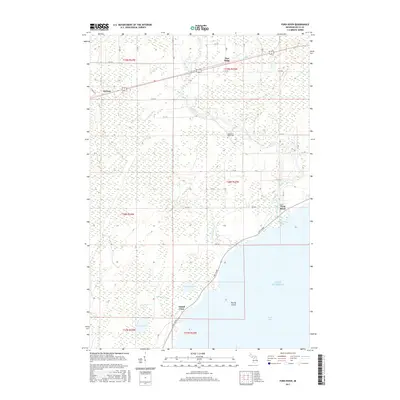 2017 Ford River2017 Print · USGSCoastal Delta County meets the waters of Green Bay in this recent survey of the Upper Peninsula shoreline. Genealogists and locals can trace the community of Ford River, locate the West Ford River Cemetery, and explore the roads around Narenta and Pine Ridge.
 - 2017 Map of Seagull Point, 2017 Print
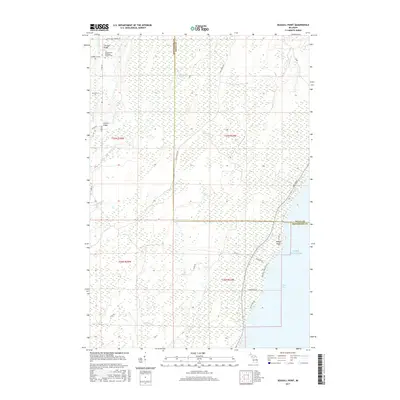 2017 Seagull Point2017 Print · USGSThe Menominee and Delta County shoreline comes into focus during this contemporary survey of Michigan's Upper Peninsula. Researchers can trace rural cemetery records at the Seventh Day Adventist Church Cem or locate river crossings like Jam-Dam Bridge and McCarty Bridge.
 - 2017 Map of Escanaba, 2017 Print
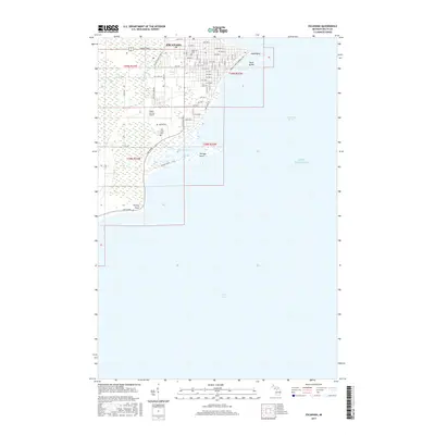 2017 Escanaba2017 Print · USGSEscanaba overlooks the northern waters of Lake Michigan in the late 2010s. Researchers can trace the city’s residential growth and waterfront landmarks like Sand Point, Lakeview Cem, and the Delta County Airport.
 - 2017 Map of Schaffer, 2017 Print
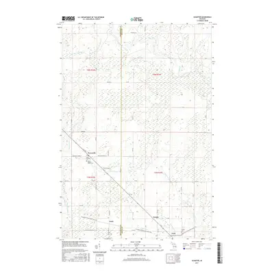 2017 Schaffer2017 Print · USGSUpper Peninsula timber and rail history converge in this 2010s survey of the Delta and Menominee county line. Genealogists and historians can trace the transit corridor from Perronville to Schaffer, locating the Saint Michael's Catholic Cem and the Chicago and N Western RR.
 - 2019 Map of Ford River, 2019 Print
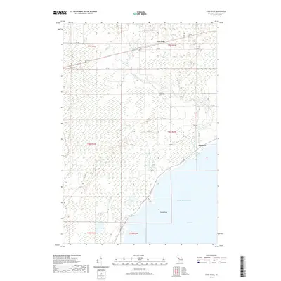 2019 Ford River2019 Print · USGSCoastal Delta County meets the northern reaches of Green Bay in this recent survey of the Michigan shoreline. Researchers can trace local heritage from the West Ford River Cem to the waterfront at Island View and the mouth of the Ford River.
 - 2019 Map of Escanaba, 2019 Print
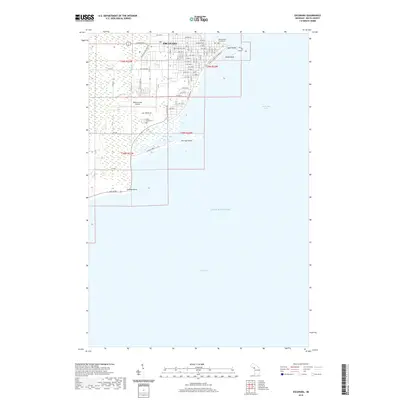 2019 Escanaba2019 Print · USGSEscanaba and the shores of Little Bay de Noc are captured in this modern survey of Michigan's Upper Peninsula. Researchers can trace the local landscape from the Delta County Courthouse to the coastal edges of Portage Point, Fishery Point, and Lakeview Cem.
 - 2019 Map of Bark River, 2019 Print
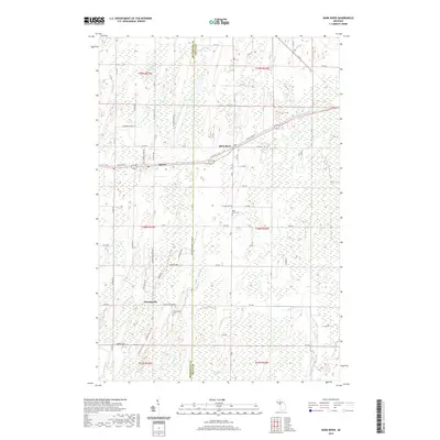 2019 Bark River2019 Print · USGSThe Upper Peninsula communities of Harris and Bark River are shown here in the late 2010s at the Menominee and Delta county line. Researchers can locate the Bark River Cemetery and Hannahville Cemetery or trace the winding course of Depas Creek through Sevenmile Marsh.
 - 2019 Map of Chandler, 2019 Print
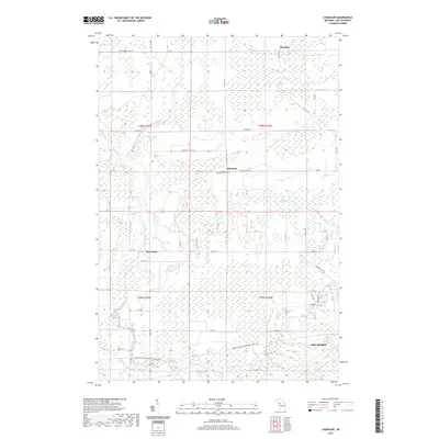 2019 Chandler2019 Print · USGSDelta County's river-bottom lands and timber tracts are documented here as they appeared in the early twenty-first century. Family historians can locate the Flat Rock Cem and trace the paths of Ford River and Bichler Cr past the settlement of Riverland.
Showing maps 1-25 of 28
Top cities near Ford River Township
- Escanaba historical maps
- Gladstone historical maps
- Wells historical maps
- Ford River historical maps
- Harris historical maps
- Bark River historical maps
See more
Top neighborhoods of Ford River Township
Frequently asked questions
- What are the different types of historical maps available for Ford River Township?
- What is the oldest map of Ford River Township?
- Where can I purchase historical maps of Ford River Township for my home or office?
- Where can I download high-res historical maps of Ford River Township?
- Are there historical topographic maps available for Ford River Township?
- Is there historical aerial imagery available for Ford River Township?
- Where are historical maps of Ford River Township sourced from?