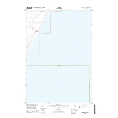
2014 Map of Henderson Lakes
USGS Topo · Published 2014About this map
Bark River winds through the western edge of this coastal landscape as it approaches its outlet into the northern reaches of Lake Michigan. The interior terrain is defined by the namesake Henderson Lakes and a network of rural roads, including H Rd and F Rd, which serve the sparsely settled shoreline. Near the northern boundary, local history is anchored by the S Ford River Cem and S Fork River Cem, indicating early family and community roots along the riverbanks. The boundary between Delta County and Menominee County cuts through the open waters and marshy lowlands, marking a transition point in the Upper Peninsula’s shoreline geography during the early 21st century.
Find a feature on this map
12 named features on this map. Tap any name to fly to it.
Don’t see what you’re looking for? This feature index may not catch every label — zoom into the map to look around manually.
Map Details
Editions of this 2014 Henderson Lakes Map
This is the sole edition of this map. No revisions or reprints were ever made.
Other maps of this area

1932 · Bark River NE
USGS Topo · 1:31,680

1954 · Escanaba
USGS Topo · 1:250,000

1957 · Escanaba
USGS Topo · 1:250,000

1958 · Escanaba
USGS Topo · 1:250,000

1958 · Escanaba
USGS Topo · 1:62,500

1960 · Ellison Bay
USGS Topo · 1:62,500

1963 · Bark River
USGS Topo · 1:62,500

1963 · Cedar River
USGS Topo · 1:62,500

1981 · Marinette
USGS Topo · 1:100,000

1982 · Escanaba
USGS Topo · 1:100,000