Old Maps of Port Austin Township, Michigan for Academic Research
Study the evolution of Port Austin Township with 22 high-resolution historic maps. Whether you're teaching, researching, or modeling changes in land use, these maps provide essential visual documentation of urban, environmental, and geographic change.
- Analyze long-term change: Track patterns in development, transportation, and natural features.
- Ideal for environmental or urban studies: Support academic projects with primary historical map data.
- Use in the classroom or lab: Educators and researchers rely on these maps to bring historical context to life.
These maps are a powerful tool for teaching, research, and visualizing how Port Austin Township has changed over the decades.
Port Austin Township, MI maps
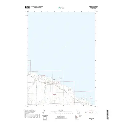
(22)- 1954 Map of Tawas City, 1968 Print
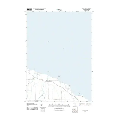
 1954 Tawas City1968 Print · USGSCoastal life along Lake Huron was defined by a mix of military aviation and hydroelectric power in the mid-fifties. Researchers can trace the river dams like Cooke Dam, the layout of Wurtsmith AFB, and the coastal mining operations at Alabaster.4 unique versions available
 - 1958 Map of Tawas City
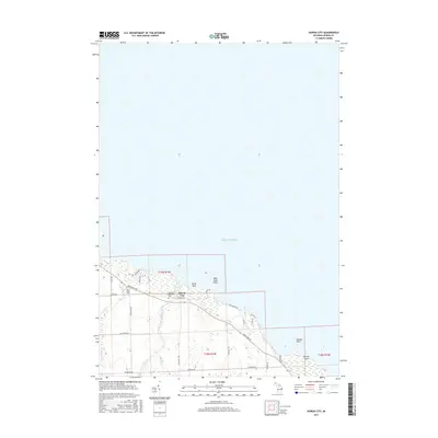
 1958 Tawas City1958 Print · USGSThe Lake Huron shoreline and northern Michigan timberlands come into focus in the late fifties, during the expansion of the Cold War. Genealogists and historians can trace rail lines like the Detroit and Mackinac, find regional landmarks like the Lumbermans Memorial Monument, and locate coastal facilities including Wurtsmith AFB.2 unique versions available
 - 1970 Map of Port Austin East, 1973 Print
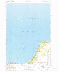
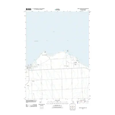
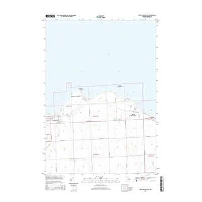
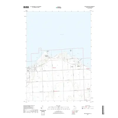
 1970 Port Austin East1973 Print · USGSThe tip of Michigan's Thumb comes into focus in the 1970s, showcasing the coastal settlements and maritime landscape of Huron County. Genealogists and researchers can locate Port Austin Cemetery, trace the Chesapeake and Ohio rail line, and find old shoreline quarries near Grind Stone City.2 unique versions available
 - 1970 Map of Huron City, 1973 Print
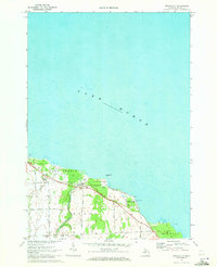 1970 Huron City1973 Print · USGSThe northern tip of Michigan's Thumb is captured here in the early seventies, showing the coastal transition from farming to recreation. Trace local family history at New River Cem or explore the shoreline near Huron City and Lighthouse County Park.
 - 1970 Map of Port Austin West, 1973 Print
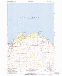
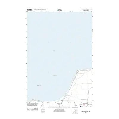
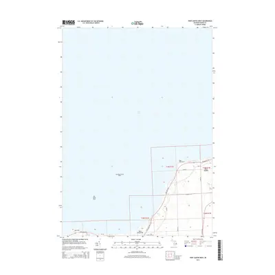
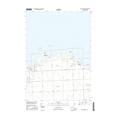
 1970 Port Austin West1973 Print · USGSThe northern tip of Huron County is shown during the early 1970s, where the Saginaw Bay shoreline meets the open lake. Genealogists and local historians can trace the Port Crescent Cem and the Cold War era Port Austin Air Force Station.
 - 1984 Map of Pointe Aux Barques, 1985 Print
 1984 Pointe Aux Barques1985 Print · USGSThe northern tip of Michigan's thumb is captured in the mid-eighties as a landscape of remote coastal outposts and Great Lakes maritime borders. Researchers can trace the industrial legacy of Grind Stone City and its Quarries or the small-town layouts of Port Austin and Huron City.2 unique versions available
 - 1984 Map of Tawas City, 1985 Print
 1984 Tawas City1985 Print · USGSNortheast Michigan's shoreline and forest interior are captured here in the mid-eighties, from the active runways of Wurtsmith Air Force Base to the quiet waters of Tawas Bay. Genealogists and local historians can locate rural landmarks like Skunk Sch, the Welcome Church, and the route of the Detroit and Mackinac railroad.3 unique versions available
 - 2011 Map of Port Austin East, 2011 Print
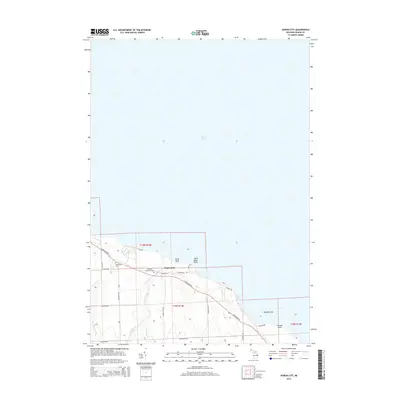
 2011 Port Austin East2011 Print · USGSCovers Port Austin Township, including Port Austin, Dwight Township, and other nearby areas
 - 2011 Map of Huron City, 2011 Print
 2011 Huron City2011 Print · USGSCovers Port Austin Township, including Huron Township, Gore Township, and other nearby areas
 - 2011 Map of Port Austin West, 2011 Print
 2011 Port Austin West2011 Print · USGSCovers Port Austin Township, including Port Austin, Dwight Township, and other nearby areas
 - 2014 Map of Huron City, 2014 Print
 2014 Huron City2014 Print · USGSCovers Port Austin Township, including Huron Township, Gore Township, and other nearby areas
 - 2014 Map of Port Austin West, 2014 Print
 2014 Port Austin West2014 Print · USGSCovers Port Austin Township, including Port Austin, Dwight Township, and other nearby areas
 - 2014 Map of Port Austin East, 2014 Print
 2014 Port Austin East2014 Print · USGSCovers Port Austin Township, including Port Austin, Dwight Township, and other nearby areas
 - 2017 Map of Port Austin West, 2017 Print
 2017 Port Austin West2017 Print · USGSCovers Port Austin Township, including Port Austin, Dwight Township, and other nearby areas
 - 2017 Map of Huron City, 2017 Print
 2017 Huron City2017 Print · USGSCovers Port Austin Township, including Huron Township, Gore Township, and other nearby areas
 - 2017 Map of Port Austin East, 2017 Print
 2017 Port Austin East2017 Print · USGSCovers Port Austin Township, including Port Austin, Dwight Township, and other nearby areas
 - 2019 Map of Port Austin West, 2019 Print
 2019 Port Austin West2019 Print · USGSCovers Port Austin Township, including Port Austin, Dwight Township, and other nearby areas
 - 2019 Map of Port Austin East, 2019 Print
 2019 Port Austin East2019 Print · USGSCovers Port Austin Township, including Port Austin, Dwight Township, and other nearby areas
 - 2019 Map of Huron City, 2019 Print
 2019 Huron City2019 Print · USGSCovers Port Austin Township, including Huron Township, Gore Township, and other nearby areas
 - 2023 Map of Huron City, 2023 Print
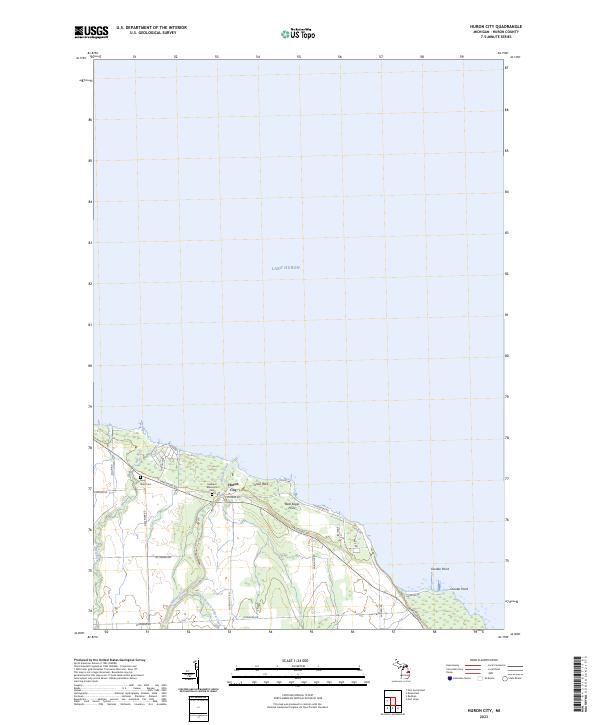 2023 Huron City2023 Print · USGSHuron City and the northern shoreline of Michigan's Thumb are detailed in this recent coastal survey. Genealogists can trace family heritage at Hubbard Memorial Cem and New River Cem near the mouth of the New River.
 - 2023 Map of Port Austin East, 2023 Print
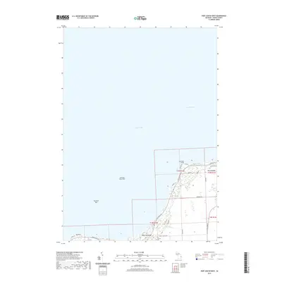
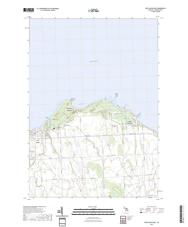 2023 Port Austin East2023 Print · USGSThe tip of Michigan's Thumb comes into focus here, showing the coastal interface between Lake Huron and the rural interior. Researchers can trace local heritage at Saint Michael Cem or follow the shoreline from Port Austin to the industrial history of Grind Stone City.
 - 2023 Map of Port Austin West, 2023 Print
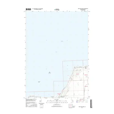
 2023 Port Austin West2023 Print · USGSPort Austin and the northern reaches of Huron County are depicted here in the early twenty-first century. Researchers can trace the layout of Port Crescent, locate the Port Crescent Cemetery, and examine the shoreline near Hat Point.
End of results
Showing maps 1-22 of 22
Top cities near Port Austin Township
Top neighborhoods of Port Austin Township
Frequently asked questions
- What are the different types of historical maps available for Port Austin Township?
- What is the oldest map of Port Austin Township?
- Where can I purchase historical maps of Port Austin Township for my home or office?
- Where can I download high-res historical maps of Port Austin Township?
- Are there historical topographic maps available for Port Austin Township?
- Is there historical aerial imagery available for Port Austin Township?
- Where are historical maps of Port Austin Township sourced from?