Old Maps of Port Austin Township, Michigan for Genealogy
Trace your family roots with 22 historic maps of Port Austin Township. These high-res maps reveal old neighborhoods, homesites, landmarks, and streets — helping you uncover where your ancestors lived and how the area evolved over time.
- Explore historic neighborhoods: Identify where your relatives may have lived in the 1800s or 1900s.
- Compare maps over time: Trace the changes in streets, buildings, and landmarks for multi-generational research.
- Perfect for genealogy & ancestry research: Used by family historians and researchers to map out lineage and migration.
These maps are an incredible resource for exploring your personal connection to Port Austin Township's past.
Port Austin Township, MI maps
(22)- 1954 Map of Tawas City, 1968 Print
 1954 Tawas City1968 Print · USGSCoastal life along Lake Huron was defined by a mix of military aviation and hydroelectric power in the mid-fifties. Researchers can trace the river dams like Cooke Dam, the layout of Wurtsmith AFB, and the coastal mining operations at Alabaster.4 unique versions available
 - 1958 Map of Tawas City
 1958 Tawas City1958 Print · USGSThe Lake Huron shoreline and northern Michigan timberlands come into focus in the late fifties, during the expansion of the Cold War. Genealogists and historians can trace rail lines like the Detroit and Mackinac, find regional landmarks like the Lumbermans Memorial Monument, and locate coastal facilities including Wurtsmith AFB.2 unique versions available
 - 1970 Map of Port Austin East, 1973 Print
 1970 Port Austin East1973 Print · USGSThe tip of Michigan's Thumb comes into focus in the 1970s, showcasing the coastal settlements and maritime landscape of Huron County. Genealogists and researchers can locate Port Austin Cemetery, trace the Chesapeake and Ohio rail line, and find old shoreline quarries near Grind Stone City.2 unique versions available
 - 1970 Map of Huron City, 1973 Print
 1970 Huron City1973 Print · USGSThe northern tip of Michigan's Thumb is captured here in the early seventies, showing the coastal transition from farming to recreation. Trace local family history at New River Cem or explore the shoreline near Huron City and Lighthouse County Park.
 - 1970 Map of Port Austin West, 1973 Print
 1970 Port Austin West1973 Print · USGSThe northern tip of Huron County is shown during the early 1970s, where the Saginaw Bay shoreline meets the open lake. Genealogists and local historians can trace the Port Crescent Cem and the Cold War era Port Austin Air Force Station.
 - 1984 Map of Pointe Aux Barques, 1985 Print
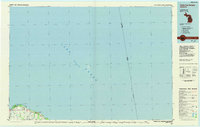 1984 Pointe Aux Barques1985 Print · USGSThe northern tip of Michigan's thumb is captured in the mid-eighties as a landscape of remote coastal outposts and Great Lakes maritime borders. Researchers can trace the industrial legacy of Grind Stone City and its Quarries or the small-town layouts of Port Austin and Huron City.2 unique versions available
 - 1984 Map of Tawas City, 1985 Print
 1984 Tawas City1985 Print · USGSNortheast Michigan's shoreline and forest interior are captured here in the mid-eighties, from the active runways of Wurtsmith Air Force Base to the quiet waters of Tawas Bay. Genealogists and local historians can locate rural landmarks like Skunk Sch, the Welcome Church, and the route of the Detroit and Mackinac railroad.3 unique versions available
 - 2011 Map of Port Austin East, 2011 Print
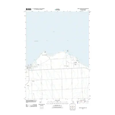 2011 Port Austin East2011 Print · USGSThe northern coast of Huron County is shown in this early 21st-century survey, from the docks of Port Austin to the point at Pointe aux Barques. Local historians can trace cemetery locations, the Grind Stone City Post Office, and landmarks like the Port Austin Reef Light.
 - 2011 Map of Huron City, 2011 Print
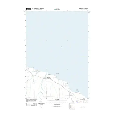 2011 Huron City2011 Print · USGSThe tip of Michigan's Thumb is captured here in the early twenty-first century, showcasing the maritime heritage of Huron City along the Lake Huron coast. Genealogists and historians can locate the Hubbard Memorial Cemetery and the iconic Pointe Aux Barques Lighthouse.
 - 2011 Map of Port Austin West, 2011 Print
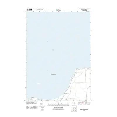 2011 Port Austin West2011 Print · USGSThe tip of Michigan's Thumb is captured here in the early twenty-first century, showing the interface of Lake Huron and the Huron County shoreline. Researchers can trace the layout of the Port Crescent area, including the Port Crescent Cemetery and the mouth of the Pinnebog River.
 - 2014 Map of Huron City, 2014 Print
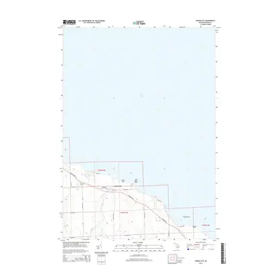 2014 Huron City2014 Print · USGSThe tip of Michigan's Thumb is captured here in the early twenty-first century, showing the rural character of the Lake Huron coast. Researchers can trace local heritage through Hubbard Memorial Cem, New River Cem, and the waterways of New River and Willow Cr.
 - 2014 Map of Port Austin West, 2014 Print
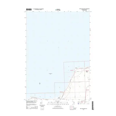 2014 Port Austin West2014 Print · USGSCoastal Huron County is captured here in the early twenty-first century, showing the interface between the Thumb's interior and the waters of Lake Huron. Local researchers can locate family sites near Port Austin or trace the area's heritage at the Port Crescent Cem.
 - 2014 Map of Port Austin East, 2014 Print
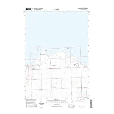 2014 Port Austin East2014 Print · USGSThe northern tip of Michigan's Thumb is captured here in the early twenty-first century, showing the established shoreline communities and rural townships. Researchers can trace family plots at Saint Michael Cem and explore the coastal geography of Grind Stone City and Pointe aux Barques.
 - 2017 Map of Port Austin West, 2017 Print
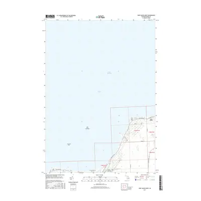 2017 Port Austin West2017 Print · USGSPort Austin and the rugged shoreline of the Michigan Thumb are captured here in the modern era as they meet the waters of Saginaw Bay. Genealogists and local historians can trace the area's heritage at Port Crescent Cem and follow the coastal topography past Hat Point and the village of Port Austin.
 - 2017 Map of Huron City, 2017 Print
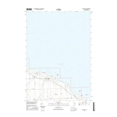 2017 Huron City2017 Print · USGSThe tip of Michigan's Thumb is captured here in the late 2010s, showing a landscape defined by its coastal orientation and rural heritage. Genealogists and historians can trace family locations near Huron City, Hubbard Memorial Cem, and New River Cem.
 - 2017 Map of Port Austin East, 2017 Print
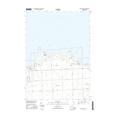 2017 Port Austin East2017 Print · USGSThe northern tip of Michigan's Thumb is captured here in the late twenty-tens, showing the coastal transition from port towns to agrarian interior. Local historians can trace the streets of Port Austin and Grind Stone City alongside landmarks like Grindstone Air Harbor.
 - 2019 Map of Port Austin West, 2019 Print
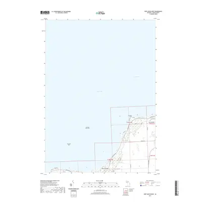 2019 Port Austin West2019 Print · USGSThe northern tip of Michigan's Thumb is mapped here during the late twenty-teens, showing where the lake meets the bay. Genealogists and local historians can trace coastal properties near Port Austin and locate the historic Port Crescent Cem.
 - 2019 Map of Port Austin East, 2019 Print
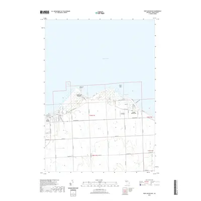 2019 Port Austin East2019 Print · USGSPort Austin and the rugged tip of Michigan's Thumb are captured in this recent survey of the Huron County coast. Genealogists and local historians can trace rural property lines along Hellens Rd and locate burial sites at Saint Michael Cem or Port Austin Cem.
 - 2019 Map of Huron City, 2019 Print
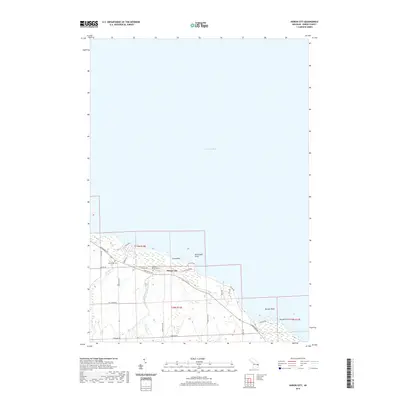 2019 Huron City2019 Print · USGSThe northern tip of Michigan's Thumb is mapped here in the late twenty-teens, showing the coastal transition from Lake Huron to the interior marshlands. Genealogists and local historians can locate New River Cem, Hubbard Memorial Cem, and the historic footprint of Huron City.
 - 2023 Map of Huron City, 2023 Print
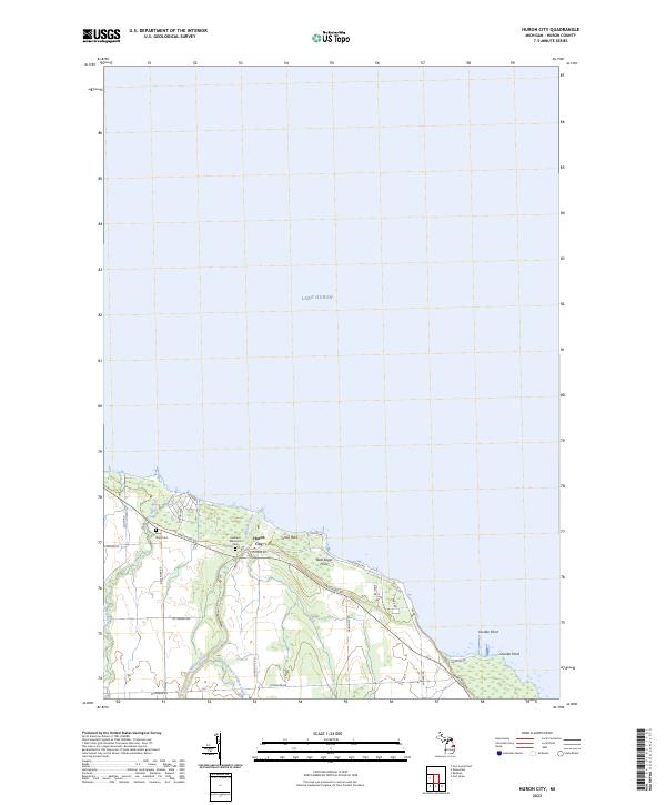 2023 Huron City2023 Print · USGSHuron City and the northern shoreline of Michigan's Thumb are detailed in this recent coastal survey. Genealogists can trace family heritage at Hubbard Memorial Cem and New River Cem near the mouth of the New River.
 - 2023 Map of Port Austin East, 2023 Print
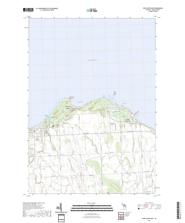 2023 Port Austin East2023 Print · USGSThe tip of Michigan's Thumb comes into focus here, showing the coastal interface between Lake Huron and the rural interior. Researchers can trace local heritage at Saint Michael Cem or follow the shoreline from Port Austin to the industrial history of Grind Stone City.
 - 2023 Map of Port Austin West, 2023 Print
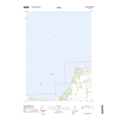 2023 Port Austin West2023 Print · USGSPort Austin and the northern reaches of Huron County are depicted here in the early twenty-first century. Researchers can trace the layout of Port Crescent, locate the Port Crescent Cemetery, and examine the shoreline near Hat Point.
End of results
Showing maps 1-22 of 22
Top cities near Port Austin Township
Top neighborhoods of Port Austin Township
Frequently asked questions
- What are the different types of historical maps available for Port Austin Township?
- What is the oldest map of Port Austin Township?
- Where can I purchase historical maps of Port Austin Township for my home or office?
- Where can I download high-res historical maps of Port Austin Township?
- Are there historical topographic maps available for Port Austin Township?
- Is there historical aerial imagery available for Port Austin Township?
- Where are historical maps of Port Austin Township sourced from?