2000s (21st Century) Maps of Macomb County, Michigan
Explore 95 historic maps of Macomb County from the 2000s (21st Century). These maps offer a rare glimpse into what life looked like during the 2000s — showing old roads, neighborhoods, homes, and landmarks that have changed or disappeared over time.
Whether you're researching your family's past, planning a metal detecting trip, or studying how Macomb County's landscape evolved across the 2000s, these high-resolution maps are a powerful tool for exploring the history of this region.
- Focus on a specific era: All maps on this page are from the 2000s, giving you a focused view of this time period.
- See what’s changed: Compare century-old streets, trails, and buildings to today's modern landscape using overlays and satellite layers.
- Research with precision: Use these maps for genealogy, historical research, land use analysis, or educational projects.
- View, download, or print: Maps are fully viewable online in high resolution, and can be downloaded or printed for your own records.
Start exploring Macomb County's history through authentic maps from the 2000s. This is your window into the past.
Macomb County, MI maps
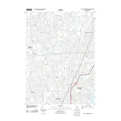
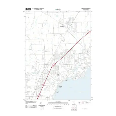
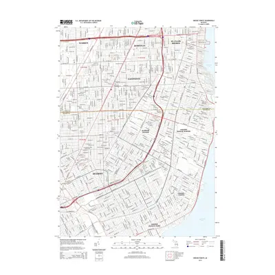
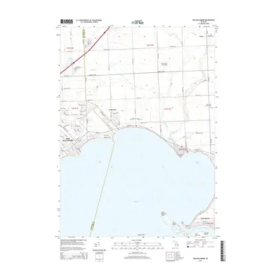
(95)- 2011 Map of Grosse Pointe, 2011 Print
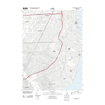 2011 Grosse Pointe2011 Print · USGSCovers Macomb County, including Detroit, Warren, and other nearby areas
 - 2011 Map of Richmond, 2011 Print
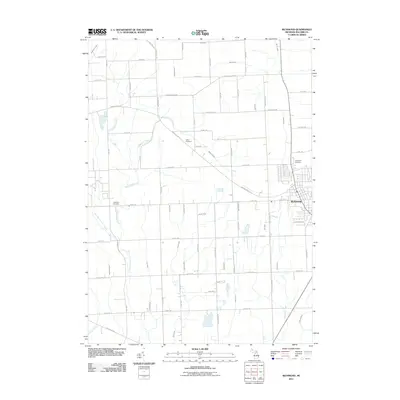 2011 Richmond2011 Print · USGSCovers Macomb County, including Richmond, Armada, and other nearby areas
 - 2011 Map of Goodells, 2011 Print
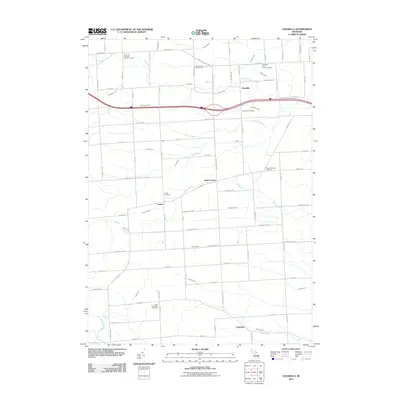 2011 Goodells2011 Print · USGSCovers Macomb County, including Columbus Township, Goodells, and other nearby areas
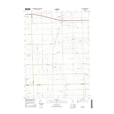
 - 2011 Map of Allenton, 2011 Print
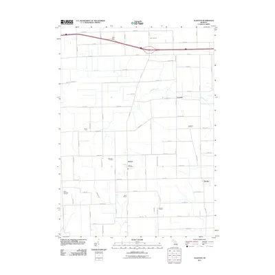 2011 Allenton2011 Print · USGSCovers Macomb County, including Capac, Berville, and other nearby areas
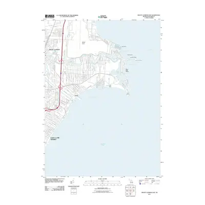
 - 2011 Map of Mount Clemens West, 2011 Print
 2011 Mount Clemens West2011 Print · USGSCovers Macomb County, including Sterling Heights, Warren, and other nearby areas
 - 2011 Map of Armada, 2011 Print
 2011 Armada2011 Print · USGSCovers Macomb County, including Washington Charter Township, Romeo, and other nearby areas
 - 2011 Map of Waldenburg, 2011 Print
 2011 Waldenburg2011 Print · USGSCovers Macomb County, including Sterling Heights, Clinton Township, and other nearby areas
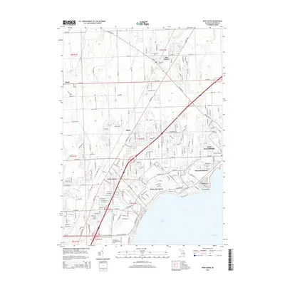
 - 2011 Map of New Baltimore, 2011 Print
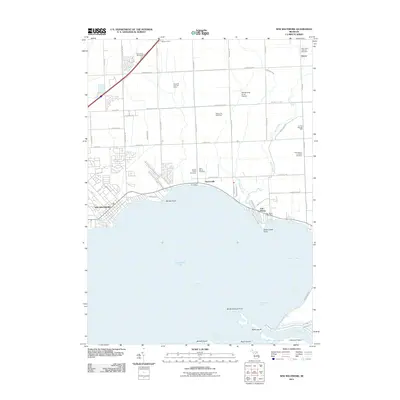 2011 New Baltimore2011 Print · USGSCovers Macomb County, including Chesterfield Township, New Baltimore, and other nearby areas
 - 2011 Map of Mount Clemens East, 2011 Print
 2011 Mount Clemens East2011 Print · USGSCovers Macomb County, including Clinton Township, Saint Clair Shores, and other nearby areas
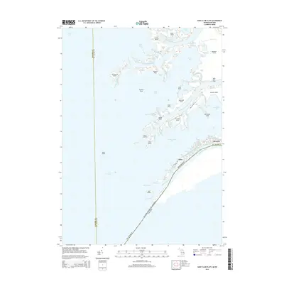
 - 2011 Map of Saint Clair Flats, 2011 Print
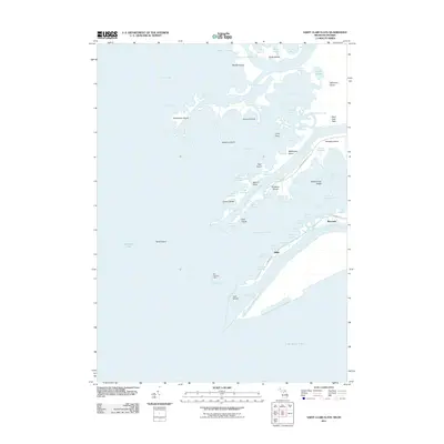 2011 Saint Clair Flats2011 Print · USGSCovers Macomb County, including Miller, Clay Township, and other nearby areas
 - 2011 Map of Adair, 2011 Print
 2011 Adair2011 Print · USGSCovers Macomb County, including Richmond, Casco, and other nearby areas
 - 2011 Map of Grosse Pointe OE E, 2011 Print
 2011 Grosse Pointe OE E2011 Print · USGSCovers Macomb County, including Saint Clair Shores, Lakeshore, and other nearby areas
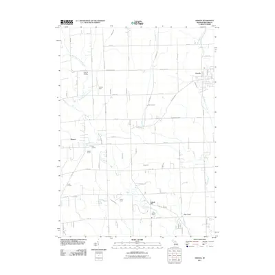
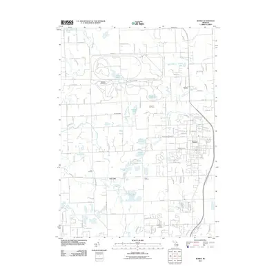
 - 2011 Map of Memphis, 2011 Print
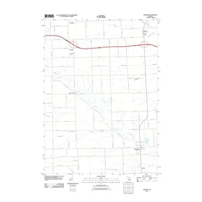 2011 Memphis2011 Print · USGSCovers Macomb County, including Memphis, Emmett, and other nearby areas
 - 2011 Map of New Haven, 2011 Print
 2011 New Haven2011 Print · USGSCovers Macomb County, including Clinton Township, Macomb Township, and other nearby areas
 - 2011 Map of Romeo, 2011 Print
 2011 Romeo2011 Print · USGSCovers Macomb County, including Washington Charter Township, Oakland Charter Township, and other nearby areas
 - 2011 Map of Highland Park, 2011 Print
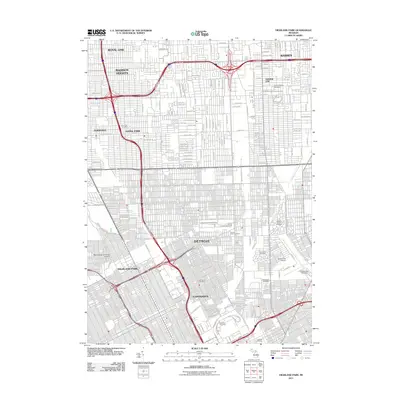 2011 Highland Park2011 Print · USGSCovers Macomb County, including Detroit, Warren, and other nearby areas
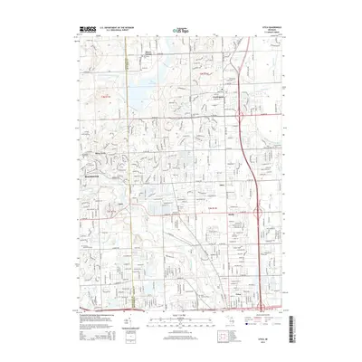
 - 2011 Map of Utica, 2011 Print
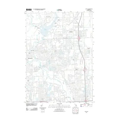 2011 Utica2011 Print · USGSCovers Macomb County, including Sterling Heights, Shelby Charter Township, and other nearby areas
 - 2011 Map of Almont, 2011 Print
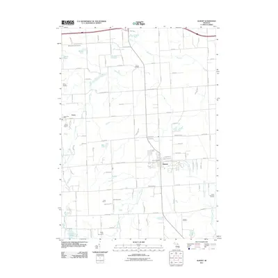 2011 Almont2011 Print · USGSCovers Macomb County, including Addison Township, Imlay City, and other nearby areas
 - 2011 Map of Warren, 2011 Print
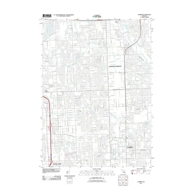 2011 Warren2011 Print · USGSCovers Macomb County, including Sterling Heights, Warren, and other nearby areas
 - 2014 Map of Saint Clair Flats, 2014 Print
 2014 Saint Clair Flats2014 Print · USGSCovers Macomb County, including Miller, Clay Township, and other nearby areas
 - 2014 Map of Grosse Pointe, 2014 Print
 2014 Grosse Pointe2014 Print · USGSCovers Macomb County, including Detroit, Warren, and other nearby areas
 - 2014 Map of Utica, 2014 Print
 2014 Utica2014 Print · USGSCovers Macomb County, including Sterling Heights, Shelby Charter Township, and other nearby areas
 - 2014 Map of New Haven, 2014 Print
 2014 New Haven2014 Print · USGSCovers Macomb County, including Clinton Township, Macomb Township, and other nearby areas
 - 2014 Map of Allenton, 2014 Print
 2014 Allenton2014 Print · USGSCovers Macomb County, including Capac, Berville, and other nearby areas
 - 2014 Map of New Baltimore, 2014 Print
 2014 New Baltimore2014 Print · USGSCovers Macomb County, including Chesterfield Township, New Baltimore, and other nearby areas
Showing maps 1-25 of 95
Top cities of Macomb County
- Sterling Heights historical maps
- Warren historical maps
- Clinton Township historical maps
- Macomb Township historical maps
- Shelby Charter Township historical maps
- Saint Clair Shores historical maps
See more
Frequently asked questions
- What are the different types of historical maps available for Macomb County?
- What is the oldest map of Macomb County?
- Where can I purchase historical maps of Macomb County for my home or office?
- Where can I download high-res historical maps of Macomb County?
- Are there historical topographic maps available for Macomb County?
- Is there historical aerial imagery available for Macomb County?
- Where are historical maps of Macomb County sourced from?