2000s (21st Century) Maps of Ingallston Township, Michigan
Explore 30 historic maps of Ingallston Township from the 2000s (21st Century). These maps offer a rare glimpse into what life looked like during the 2000s — showing old roads, neighborhoods, homes, and landmarks that have changed or disappeared over time.
Whether you're researching your family's past, planning a metal detecting trip, or studying how Ingallston Township's landscape evolved across the 2000s, these high-resolution maps are a powerful tool for exploring the history of this region.
- Focus on a specific era: All maps on this page are from the 2000s, giving you a focused view of this time period.
- See what’s changed: Compare century-old streets, trails, and buildings to today's modern landscape using overlays and satellite layers.
- Research with precision: Use these maps for genealogy, historical research, land use analysis, or educational projects.
- View, download, or print: Maps are fully viewable online in high resolution, and can be downloaded or printed for your own records.
Start exploring Ingallston Township's history through authentic maps from the 2000s. This is your window into the past.
Ingallston Township, MI maps
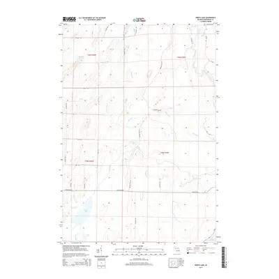
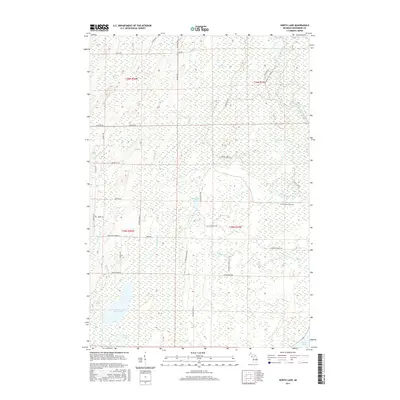
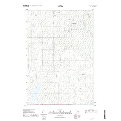
(30)- 2011 Map of North Lake, 2011 Print
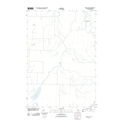 2011 North Lake2011 Print · USGSCovers Ingallston Township, including Daggett Township, Stephenson Township, and other nearby areas
 - 2011 Map of Wallace, 2011 Print
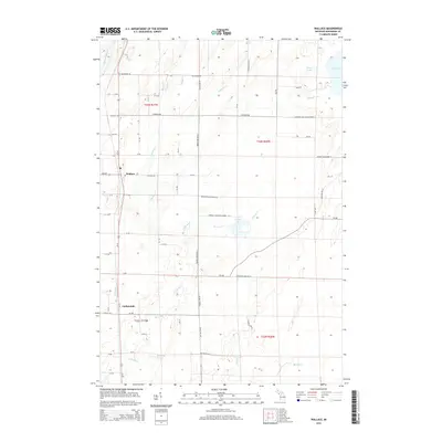
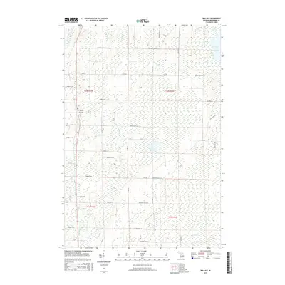
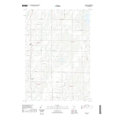
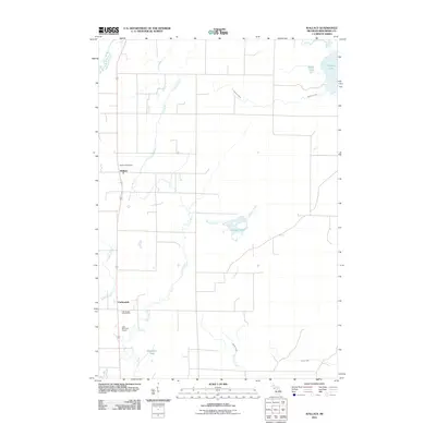 2011 Wallace2011 Print · USGSCovers Ingallston Township, including Carbondale, Wallace, and other nearby areas
 - 2011 Map of Stephenson, 2011 Print
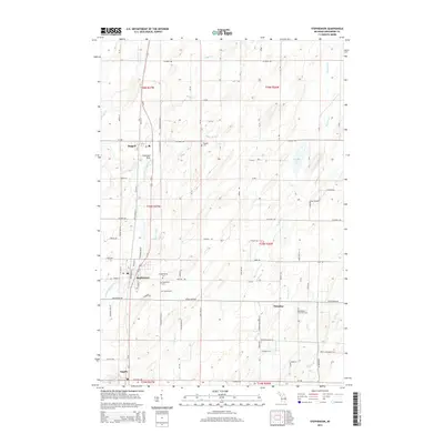
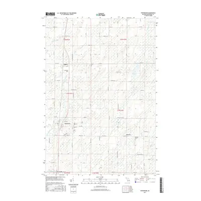
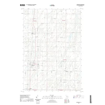
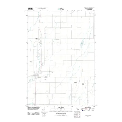 2011 Stephenson2011 Print · USGSCovers Ingallston Township, including Stephenson, Daggett, and other nearby areas
 - 2011 Map of Birch Creek, 2011 Print
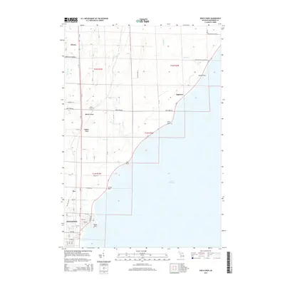
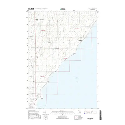
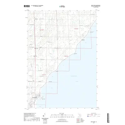
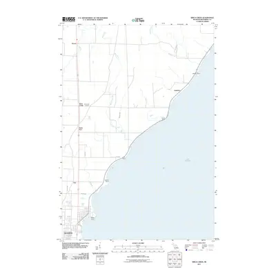 2011 Birch Creek2011 Print · USGSCovers Ingallston Township, including Menominee, Ingallston, and other nearby areas
 - 2011 Map of Arthur Bay, 2011 Print
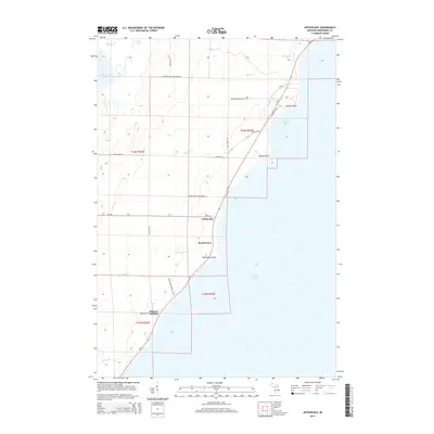
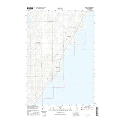
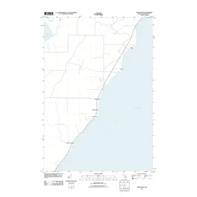 2011 Arthur Bay2011 Print · USGSCovers Ingallston Township, including Beach Grove, Johnson Landing, and other nearby areas
 - 2011 Map of Chambers Island NW, 2011 Print
 2011 Chambers Island NW2011 Print · USGSCovers Ingallston Township, including Gibraltar, Door County, and other nearby areas
 - 2013 Map of Chambers Island NW, 2013 Print
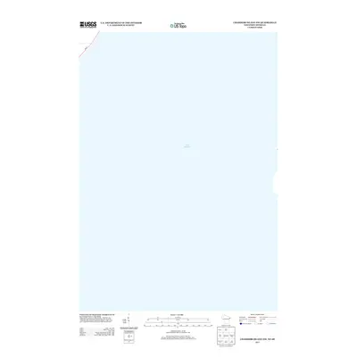 2013 Chambers Island NW2013 Print · USGSCovers Ingallston Township, including Gibraltar, Door County, and other nearby areas
 - 2014 Map of Wallace, 2014 Print
 2014 Wallace2014 Print · USGSCovers Ingallston Township, including Carbondale, Wallace, and other nearby areas
 - 2014 Map of North Lake, 2014 Print
 2014 North Lake2014 Print · USGSCovers Ingallston Township, including Daggett Township, Stephenson Township, and other nearby areas
 - 2014 Map of Stephenson, 2014 Print
 2014 Stephenson2014 Print · USGSCovers Ingallston Township, including Stephenson, Daggett, and other nearby areas
 - 2014 Map of Birch Creek, 2014 Print
 2014 Birch Creek2014 Print · USGSCovers Ingallston Township, including Menominee, Ingallston, and other nearby areas
 - 2014 Map of Arthur Bay, 2014 Print
 2014 Arthur Bay2014 Print · USGSCovers Ingallston Township, including Beach Grove, Johnson Landing, and other nearby areas
 - 2016 Map of Chambers Island NW, 2016 Print
 2016 Chambers Island NW2016 Print · USGSCovers Ingallston Township, including Gibraltar, Door County, and other nearby areas
 - 2017 Map of Arthur Bay, 2017 Print
 2017 Arthur Bay2017 Print · USGSCovers Ingallston Township, including Beach Grove, Johnson Landing, and other nearby areas
 - 2017 Map of Stephenson, 2017 Print
 2017 Stephenson2017 Print · USGSCovers Ingallston Township, including Stephenson, Daggett, and other nearby areas
 - 2017 Map of Wallace, 2017 Print
 2017 Wallace2017 Print · USGSCovers Ingallston Township, including Carbondale, Wallace, and other nearby areas
 - 2017 Map of Birch Creek, 2017 Print
 2017 Birch Creek2017 Print · USGSCovers Ingallston Township, including Menominee, Ingallston, and other nearby areas
 - 2017 Map of North Lake, 2017 Print
 2017 North Lake2017 Print · USGSCovers Ingallston Township, including Daggett Township, Stephenson Township, and other nearby areas
 - 2018 Map of Chambers Island NW, 2018 Print
 2018 Chambers Island NW2018 Print · USGSCovers Ingallston Township, including Gibraltar, Door County, and other nearby areas
 - 2019 Map of Birch Creek, 2019 Print
 2019 Birch Creek2019 Print · USGSCovers Ingallston Township, including Menominee, Ingallston, and other nearby areas
 - 2019 Map of Wallace, 2019 Print
 2019 Wallace2019 Print · USGSCovers Ingallston Township, including Carbondale, Wallace, and other nearby areas
 - 2019 Map of North Lake, 2019 Print
 2019 North Lake2019 Print · USGSCovers Ingallston Township, including Daggett Township, Stephenson Township, and other nearby areas
 - 2019 Map of Arthur Bay, 2019 Print
 2019 Arthur Bay2019 Print · USGSCovers Ingallston Township, including Beach Grove, Johnson Landing, and other nearby areas
 - 2019 Map of Stephenson, 2019 Print
 2019 Stephenson2019 Print · USGSCovers Ingallston Township, including Stephenson, Daggett, and other nearby areas
 - 2022 Map of Chambers Island NW, 2022 Print
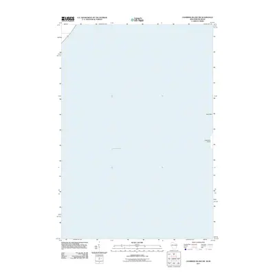
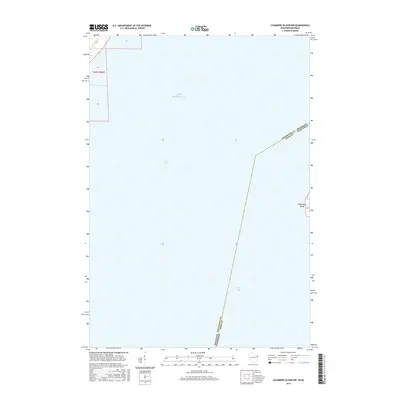
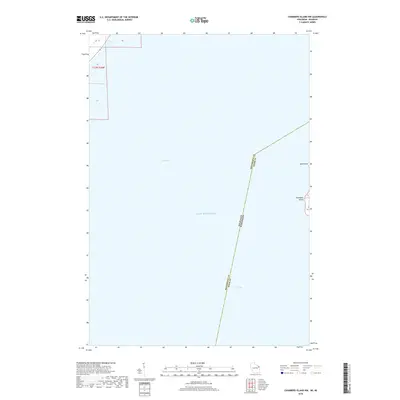
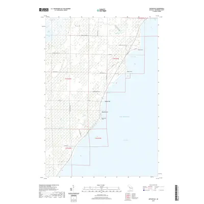
 2022 Chambers Island NW2022 Print · USGSCoastal Wisconsin and Michigan boundaries meet in these waters during the early twenty-first century, centered on the expanse of Green Bay. Local historians can trace the shoreline of Chambers Island and locate land features like Sand Point and Million Dollar Rd.
Showing maps 1-25 of 30
Top cities near Ingallston Township
- Marinette historical maps
- Menominee historical maps
- Peshtigo historical maps
- Porterfield historical maps
- Ingallston historical maps
- Stephenson historical maps
See more
Top neighborhoods of Ingallston Township
- Beach Grove historical maps
- Johnson Landing historical maps
- Arthur Bay historical maps
- Ingallston historical maps
Frequently asked questions
- What are the different types of historical maps available for Ingallston Township?
- What is the oldest map of Ingallston Township?
- Where can I purchase historical maps of Ingallston Township for my home or office?
- Where can I download high-res historical maps of Ingallston Township?
- Are there historical topographic maps available for Ingallston Township?
- Is there historical aerial imagery available for Ingallston Township?
- Where are historical maps of Ingallston Township sourced from?