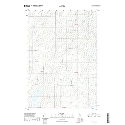
2019 Map of North Lake
USGS Topo · Published 2019About this map
North Lake and the smaller Little Lake dominate the southwestern corner of this coastal Menominee County landscape, where the waters of Big Brook drain toward the shoreline. The terrain is characterized by a complex network of wetlands and seasonal drainages, including the expansive Durrow Marsh and Horseshoe Marsh to the east. The Cedar River and Walton River wind through the township, defining the local hydrology alongside smaller tributaries like Dry Cr and Weary Cr.
Find a feature on this map
43 named features on this map. Tap any name to fly to it.
Don’t see what you’re looking for? This feature index may not catch every label — zoom into the map to look around manually.
Map Details
Editions of this 2019 North Lake Map
This is the sole edition of this map. No revisions or reprints were ever made.
Other maps of this area

1949 · Stephenson
USGS Topo · 1:48,000

1954 · Escanaba
USGS Topo · 1:250,000

1957 · Escanaba
USGS Topo · 1:250,000

1958 · Escanaba
USGS Topo · 1:250,000

1963 · Bark River
USGS Topo · 1:62,500

1963 · Powers
USGS Topo · 1:62,500

1963 · Cedar River
USGS Topo · 1:62,500

1963 · Stephenson
USGS Topo · 1:62,500

1981 · Marinette
USGS Topo · 1:100,000

1982 · Escanaba
USGS Topo · 1:100,000
Featured Places
- Ingallston Township, MI
- Daggett Township, MI
- Stephenson Township, MI
- Cedarville Township, MI
- Menominee County, MI