2000s (21st Century) Maps of Ontonagon County, Michigan
Explore 42 historic maps of Ontonagon County from the 2000s (21st Century). These maps offer a rare glimpse into what life looked like during the 2000s — showing old roads, neighborhoods, homes, and landmarks that have changed or disappeared over time.
Whether you're researching your family's past, planning a metal detecting trip, or studying how Ontonagon County's landscape evolved across the 2000s, these high-resolution maps are a powerful tool for exploring the history of this region.
- Focus on a specific era: All maps on this page are from the 2000s, giving you a focused view of this time period.
- See what’s changed: Compare century-old streets, trails, and buildings to today's modern landscape using overlays and satellite layers.
- Research with precision: Use these maps for genealogy, historical research, land use analysis, or educational projects.
- View, download, or print: Maps are fully viewable online in high resolution, and can be downloaded or printed for your own records.
Start exploring Ontonagon County's history through authentic maps from the 2000s. This is your window into the past.
Ontonagon County, MI maps
(42)- 2001 Map of Underwood Hill, 2004 Print
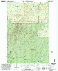 2001 Underwood Hill2004 Print · USGSCovers Ontonagon County, including Wakefield Township, Carp Lake Township, and other nearby areas
 - 2023 Map of Aldridge Creek, 2023 Print
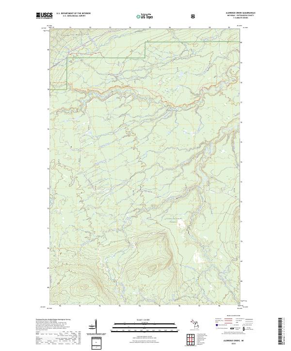 2023 Aldridge Creek2023 Print · USGSCovers Ontonagon County, including Bergland Township, Carp Lake Township, and other nearby areas
 - 2023 Map of Winona South, 2023 Print
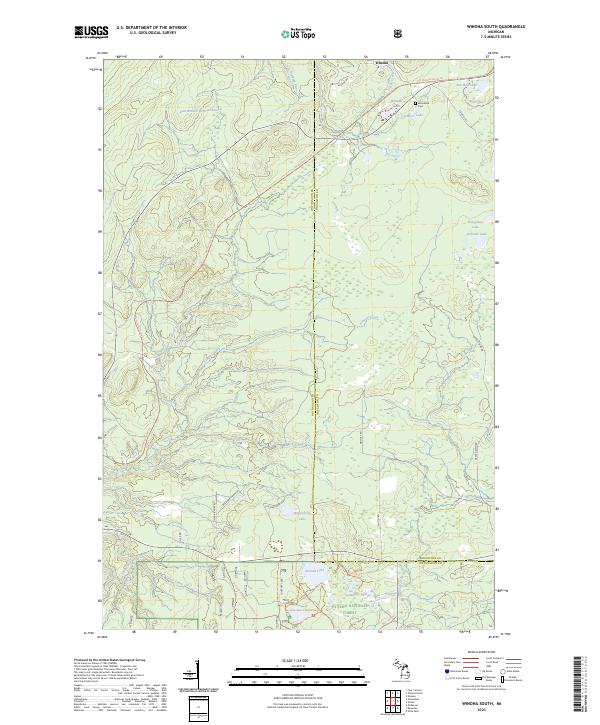 2023 Winona South2023 Print · USGSCovers Ontonagon County, including Bohemia Township, Greenland Township, and other nearby areas
 - 2023 Map of Oak Bluff, 2023 Print
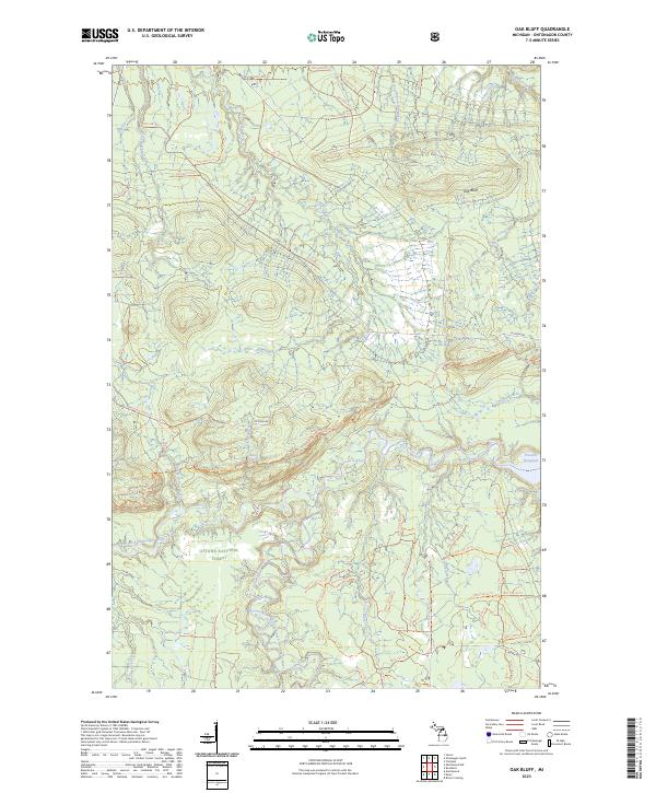 2023 Oak Bluff2023 Print · USGSCovers Ontonagon County, including Matchwood Township, Ontonagon Township, and other nearby areas
 - 2023 Map of Green, 2023 Print
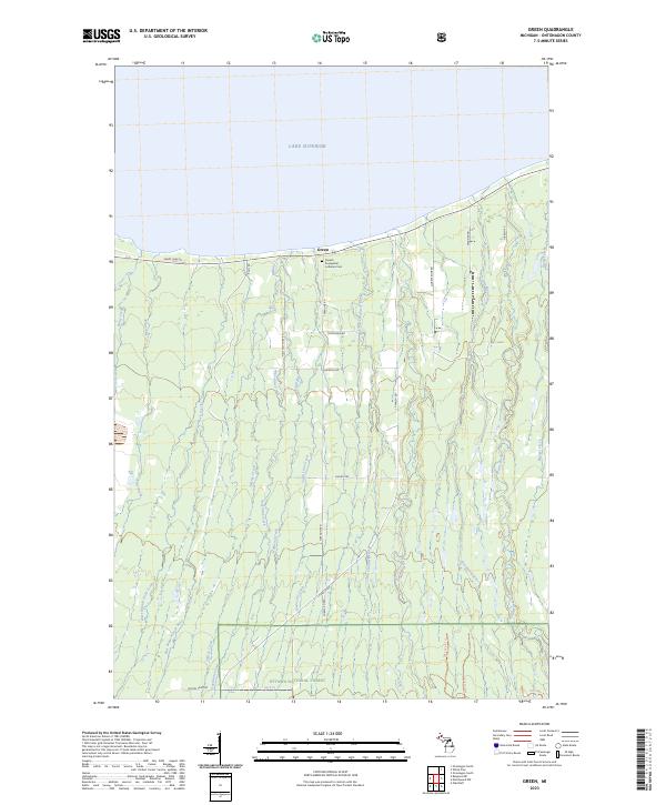 2023 Green2023 Print · USGSCovers Ontonagon County, including Ontonagon Township, Carp Lake Township, and other nearby areas
 - 2023 Map of Underwood Hill, 2023 Print
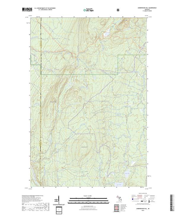 2023 Underwood Hill2023 Print · USGSCovers Ontonagon County, including Wakefield Township, Carp Lake Township, and other nearby areas
 - 2023 Map of Winona North, 2023 Print
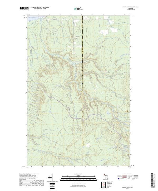 2023 Winona North2023 Print · USGSCovers Ontonagon County, including Stanton Township, Bohemia Township, and other nearby areas
 - 2023 Map of Choate, 2023 Print
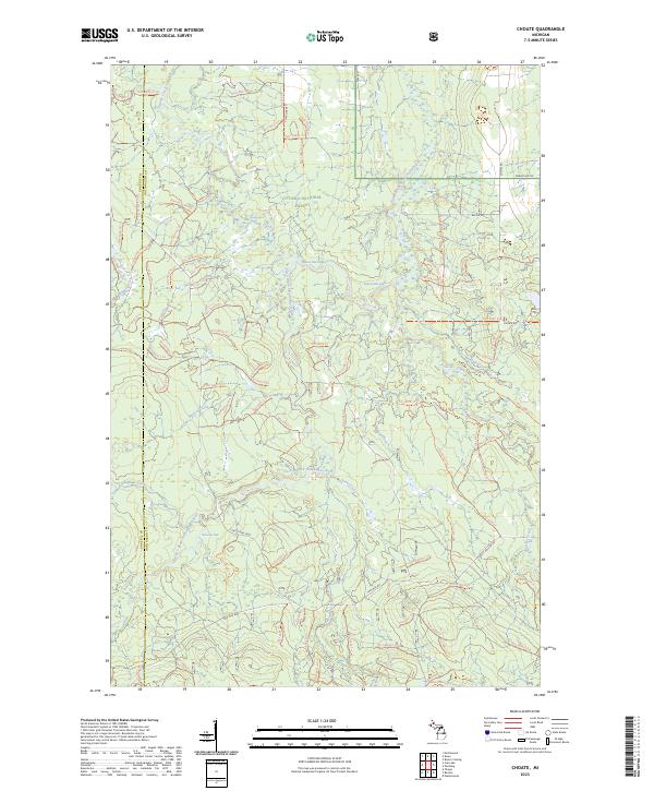 2023 Choate2023 Print · USGSCovers Ontonagon County, including Haight Township, McMillan Township, and other nearby areas
 - 2023 Map of Four Corners, 2023 Print
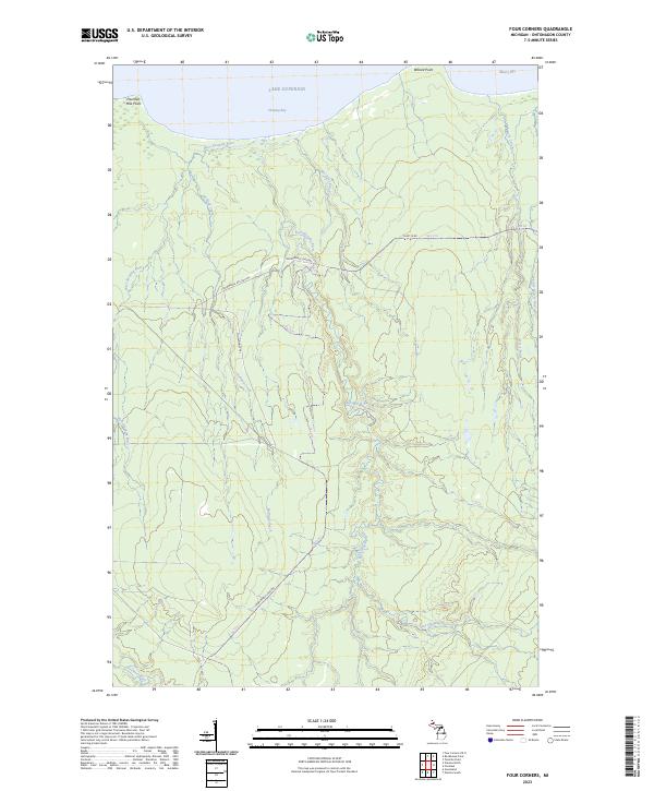 2023 Four Corners2023 Print · USGSCovers Ontonagon County, including Ontonagon Township, Bohemia Township, and other nearby areas
 - 2023 Map of Tula, 2023 Print
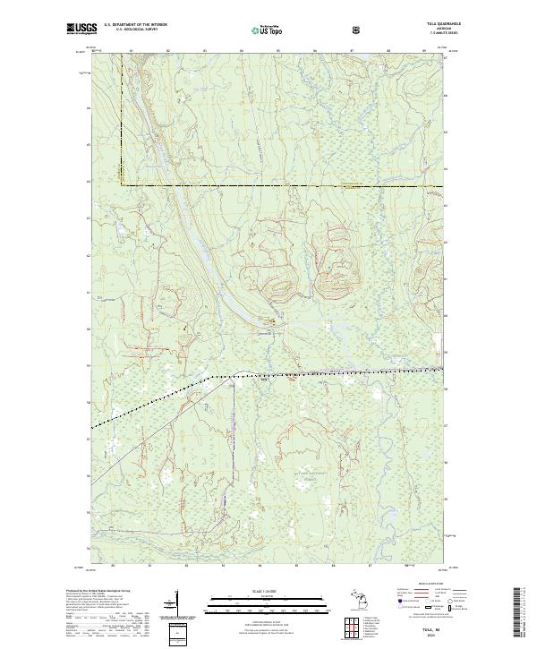 2023 Tula2023 Print · USGSCovers Ontonagon County, including Wakefield Township, Carp Lake Township, and other nearby areas
 - 2023 Map of Ontonagon North, 2023 Print
 2023 Ontonagon North2023 Print · USGSCovers Ontonagon County, including Ontonagon, Ontonagon Township, and other nearby areas
 - 2023 Map of Greenland, 2023 Print
 2023 Greenland2023 Print · USGSCovers Ontonagon County, including Greenland, Ontonagon Township, and other nearby areas
 - 2023 Map of Paynesville, 2023 Print
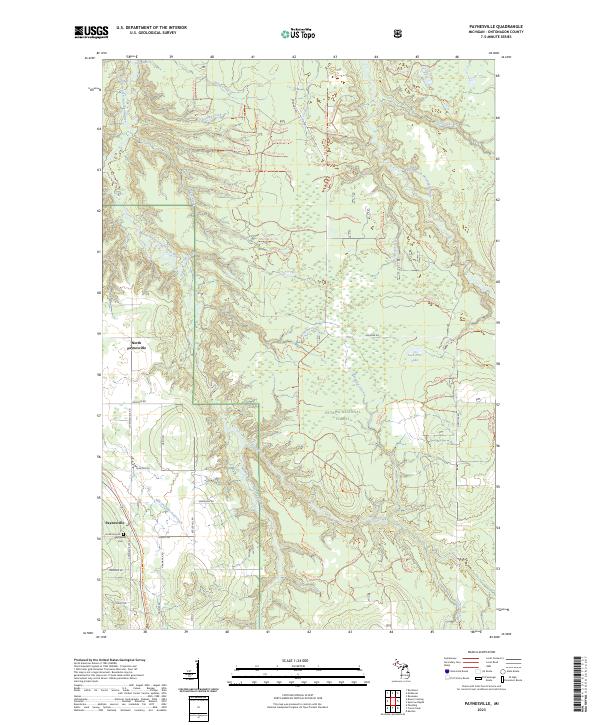 2023 Paynesville2023 Print · USGSCovers Ontonagon County, including Stannard Township, Haight Township, and other nearby areas
 - 2023 Map of Tenmile Point, 2023 Print
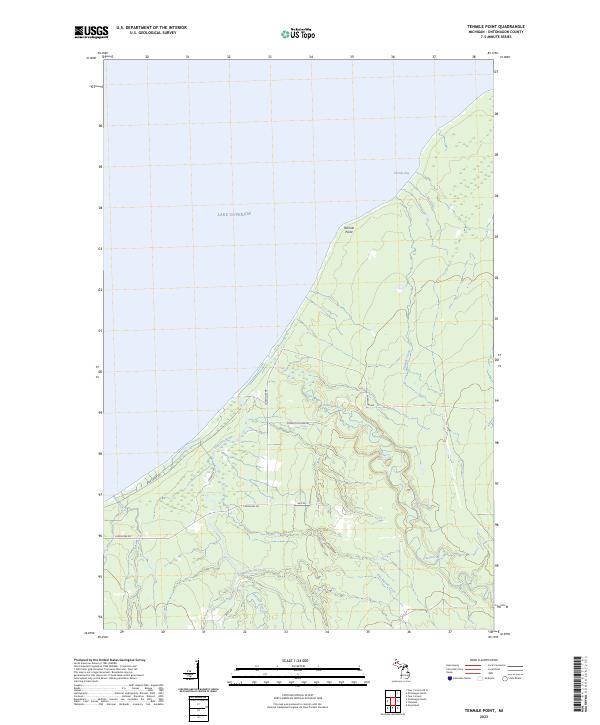 2023 Tenmile Point2023 Print · USGSCovers Ontonagon County, including Ontonagon Township, United States, and other nearby areas
 - 2023 Map of White Pine, 2023 Print
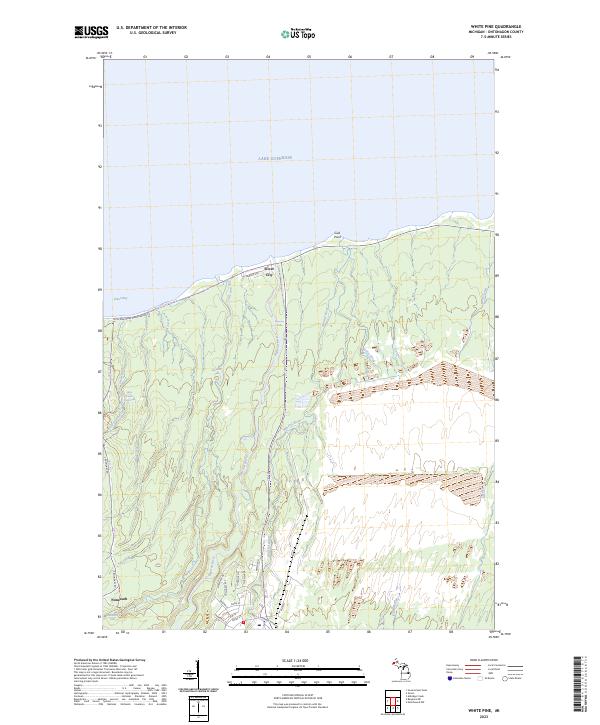 2023 White Pine2023 Print · USGSCovers Ontonagon County, including Carp Lake Township, Silver City, and other nearby areas
 - 2023 Map of Four Corners OE N, 2023 Print
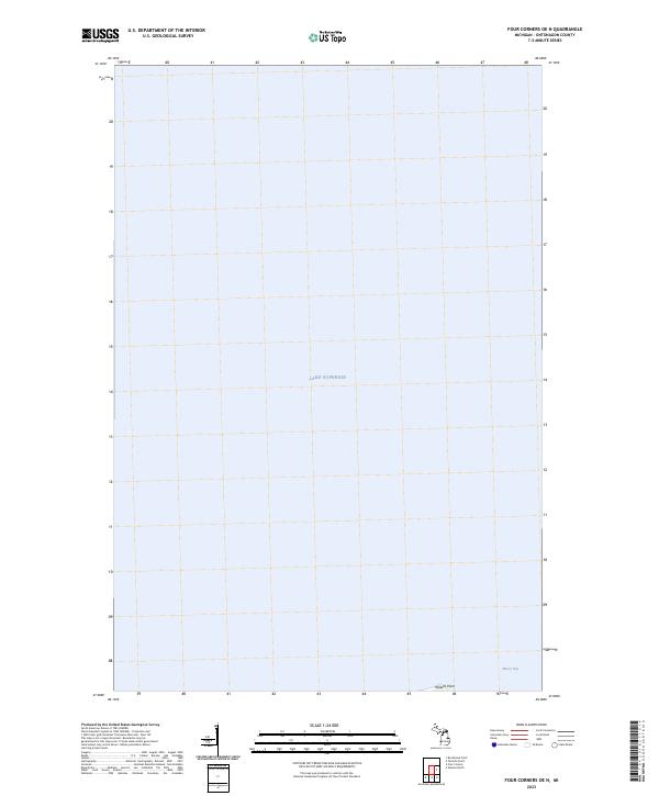 2023 Four Corners OE N2023 Print · USGSCovers Ontonagon County, including Bohemia Township, United States, and other nearby areas
 - 2023 Map of Watersmeet, 2023 Print
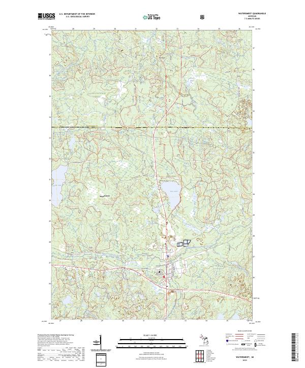 2023 Watersmeet2023 Print · USGSCovers Ontonagon County, including Watersmeet, Haight Township, and other nearby areas
 - 2023 Map of Matchwood, 2023 Print
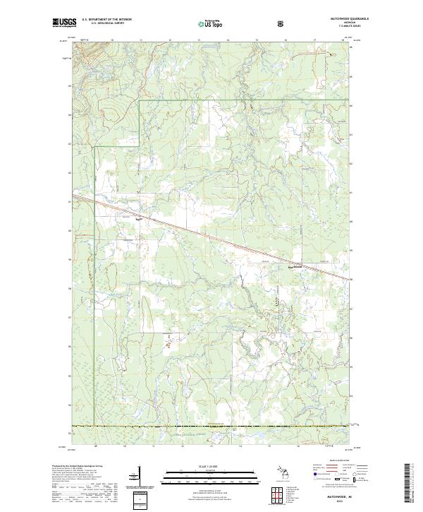 2023 Matchwood2023 Print · USGSCovers Ontonagon County, including Matchwood, Matchwood Township, and other nearby areas
 - 2023 Map of Rockhouse Point, 2023 Print
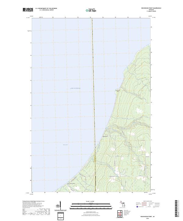 2023 Rockhouse Point2023 Print · USGSCovers Ontonagon County, including Stanton Township, Bohemia Township, and other nearby areas
 - 2023 Map of Beaton, 2023 Print
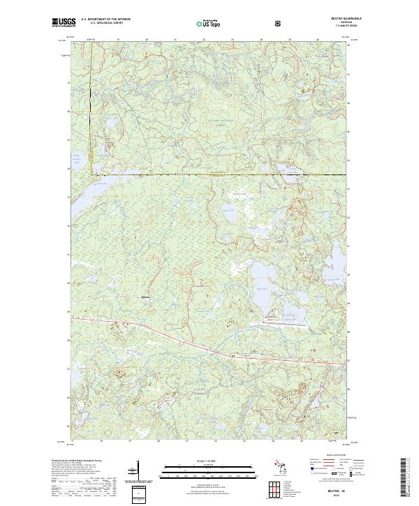 2023 Beaton2023 Print · USGSCovers Ontonagon County, including Haight Township, Beaton, and other nearby areas
 - 2023 Map of Bergland, 2023 Print
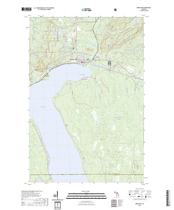 2023 Bergland2023 Print · USGSCovers Ontonagon County, including Bergland, Matchwood Township, and other nearby areas
 - 2023 Map of Vista Falls, 2023 Print
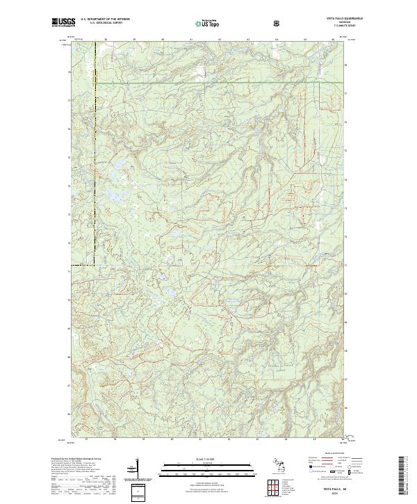 2023 Vista Falls2023 Print · USGSCovers Ontonagon County, including Bohemia Township, Laird Township, and other nearby areas
 - 2023 Map of Firesteel, 2023 Print
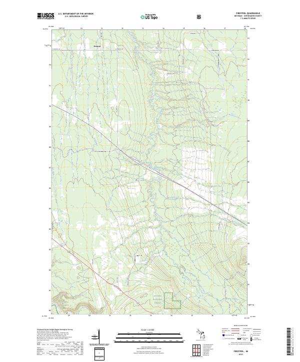 2023 Firesteel2023 Print · USGSCovers Ontonagon County, including Ontonagon Township, Rockland Township, and other nearby areas
 - 2023 Map of Nisula, 2023 Print
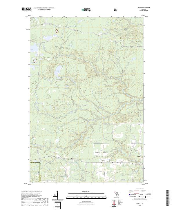 2023 Nisula2023 Print · USGSCovers Ontonagon County, including Portage Township, Bohemia Township, and other nearby areas
 - 2023 Map of Trout Creek, 2023 Print
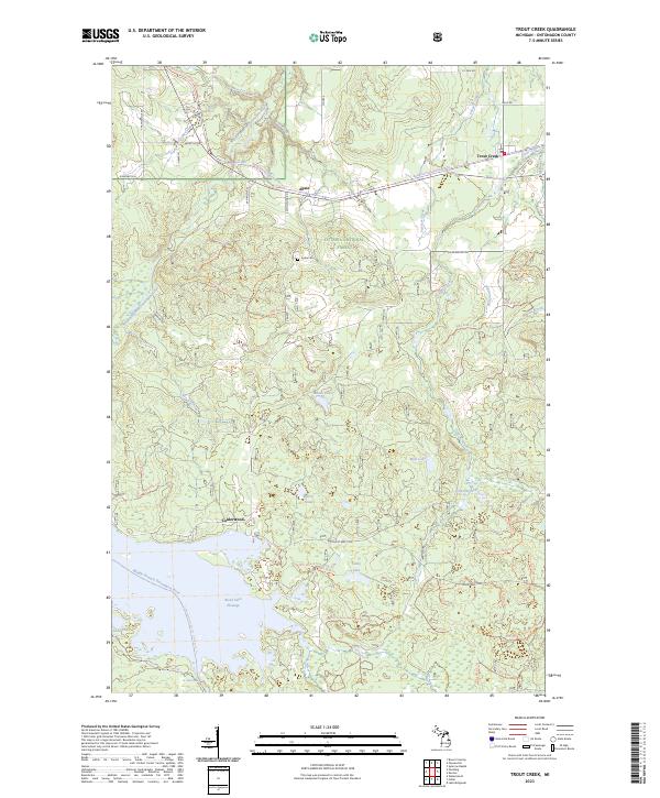 2023 Trout Creek2023 Print · USGSCovers Ontonagon County, including Haight Township, Agate, and other nearby areas
Showing maps 1-25 of 42
Frequently asked questions
- What are the different types of historical maps available for Ontonagon County?
- What is the oldest map of Ontonagon County?
- Where can I purchase historical maps of Ontonagon County for my home or office?
- Where can I download high-res historical maps of Ontonagon County?
- Are there historical topographic maps available for Ontonagon County?
- Is there historical aerial imagery available for Ontonagon County?
- Where are historical maps of Ontonagon County sourced from?