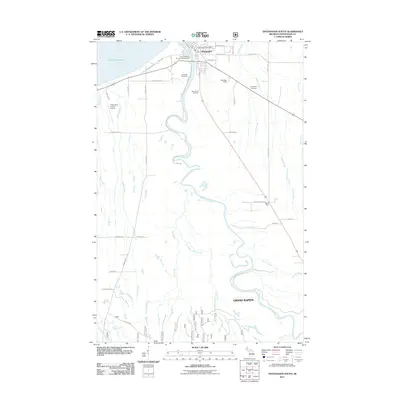
2011 Map of Ontonagon South
USGS Topo · Published 2011About this map
The Ontonagon River dominates this portion of the Upper Peninsula, snaking northward toward its mouth at Ontonagon on the shore of Lake Superior. The landscape reflects a mix of early transit routes and modern utility, where the Old Norwich Trl and Lakeshore Rd provide a sense of the area's historical movement. Near the township's hub, the Ontonagon Post Office and Ontonagon County Airport serve as central infrastructure markers. For local historians, the map preserves the locations of three distinct burial grounds: Riverside Cemetery near the riverbank, Holy Family Cemetery, and Evergreen Cemetery further east. The southern reaches are defined by a network of waterways including East Branch Mill Creek and Austin Creek, flowing through the settlement area of Grand Rapids. This record also details the small community at Wood Spur and the local recreational presence at River Pines RV Park and Campground.
Find a feature on this map
47 named features on this map. Tap any name to fly to it.
Don’t see what you’re looking for? This feature index may not catch every label — zoom into the map to look around manually.
Map Details
Editions of this 2011 Ontonagon South Map
This is the sole edition of this map. No revisions or reprints were ever made.
Other maps of this area

1949 · Matchwood NW
USGS Topo · 1:24,000

1949 · Rockland
USGS Topo · 1:62,500

1950 · Greenland
USGS Topo · 1:62,500

1951 · Rockland
USGS Topo · 1:62,500

1951 · Greenland
USGS Topo · 1:62,500

1955 · Ontonagon
USGS Topo · 1:62,500

1956 · Matchwood NW
USGS Topo · 1:24,000

1956 · Matchwood
USGS Topo · 1:62,500

1958 · Iron River
USGS Topo · 1:250,000

1960 · Iron River
USGS Topo · 1:250,000