2010s Maps of York Charter Township, Michigan
Explore 16 historic maps of York Charter Township from the 2010s. These maps offer a rare glimpse into what life looked like during the 2010s — showing old roads, neighborhoods, homes, and landmarks that have changed or disappeared over time.
Whether you're researching your family's past, planning a metal detecting trip, or studying how York Charter Township's landscape evolved across the 2010s, these high-resolution maps are a powerful tool for exploring the history of this region.
- Focus on a specific era: All maps on this page are from the 2010s, giving you a focused view of this time period.
- See what’s changed: Compare century-old streets, trails, and buildings to today's modern landscape using overlays and satellite layers.
- Research with precision: Use these maps for genealogy, historical research, land use analysis, or educational projects.
- View, download, or print: Maps are fully viewable online in high resolution, and can be downloaded or printed for your own records.
Start exploring York Charter Township's history through authentic maps from the 2010s. This is your window into the past.
York Charter Township, MI maps
(16)- 2011 Map of Milan, 2011 Print
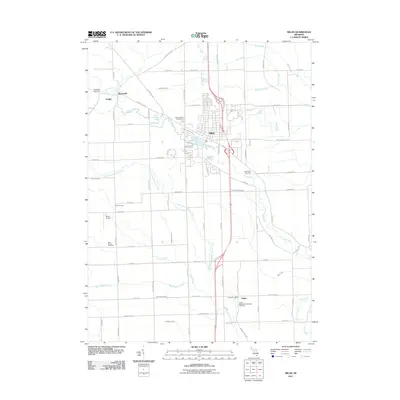 2011 Milan2011 Print · USGSThe community of Milan and its surrounding townships are shown here during a period of steady growth in the early twenty-first century. Genealogists and local historians can trace family sites near Mooreville Cemetery, the Azalia Post Office, and the Saline River corridor.
 - 2011 Map of Macon, 2011 Print
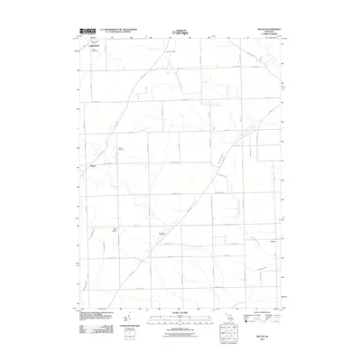 2011 Macon2011 Print · USGSThe rural landscape of Washtenaw County comes into focus here during the early 21st century, showing the enduring grid of agricultural roads and creeks. Genealogists can trace family roots through six local burial sites, including South Macon Cemetery and Oakhill Cemetery.
 - 2011 Map of Ypsilanti West, 2011 Print
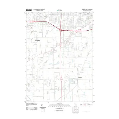 2011 Ypsilanti West2011 Print · USGSWashtenaw County's southern expansion and traditional rural borders are visible in the early twenty-first century. Genealogists and historians can trace family locations near York Cemetery and the historic settlement of Stony Creek.
 - 2011 Map of Saline, 2011 Print
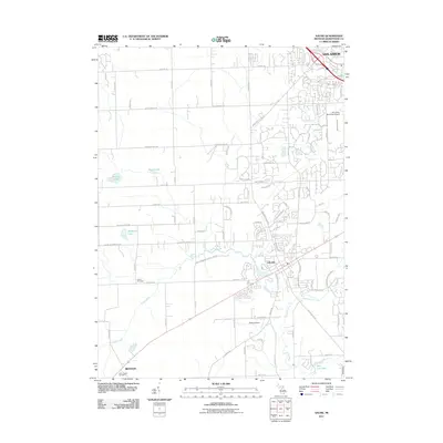 2011 Saline2011 Print · USGSWashtenaw County at the start of the 2010s shows the suburban expansion of Ann Arbor meeting the rural roots of Saline. Trace local history through family-named landmarks and sites like Lodi Cemetery, the Ann Arbor Municipal Airport, and Birkle Lake.
 - 2014 Map of Saline, 2014 Print
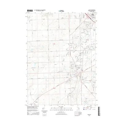 2014 Saline2014 Print · USGSWashtenaw County during the early twenty-first century shows a landscape where the expanding footprint of Saline meets rural township life. Genealogists and historians can locate numerous family-named burial sites like Rosier Cem and Judd Cem or trace the route of the Saline River.
 - 2014 Map of Milan, 2014 Print
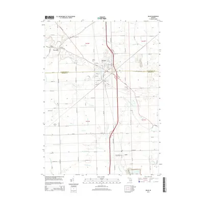 2014 Milan2014 Print · USGSThe borderlands of Washtenaw and Monroe Counties appear here in the early twenty-first century, centered on the rail-linked hub of Milan. Local historians can trace cemetery locations like Saint Marys Cem and the small settlements at Mooreville and Azalia.
 - 2014 Map of Ypsilanti West, 2014 Print
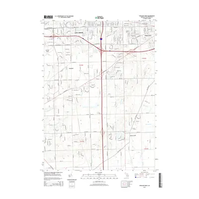 2014 Ypsilanti West2014 Print · USGSWashtenaw County during its early 21st-century expansion shows a detailed landscape of intersecting highways and preserved local history. Researchers can locate several historic burial sites like Terhune Graveyard and Harwood Cemetery alongside the Ann Arbor Municipal Airport.
 - 2014 Map of Macon, 2014 Print
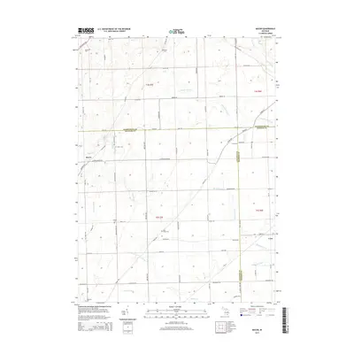 2014 Macon2014 Print · USGSSoutheastern Michigan agriculture and county borderlands are detailed here in the early twenty-first century. Genealogists can trace family footprints across several rural burial sites, such as Oakhill Cem and Macon Cem, near the settlement of Macon.
 - 2017 Map of Macon, 2017 Print
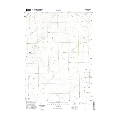 2017 Macon2017 Print · USGSThe rural borderlands where Washtenaw, Lenawee, and Monroe Counties meet are captured here in the late twenty-teens. Genealogists can trace family footprints across several historic burial grounds, including South Macon Cem, Macon Cem, and Ridgeway Cem.
 - 2017 Map of Milan, 2017 Print
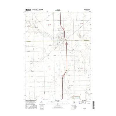 2017 Milan2017 Print · USGSMilan and its surrounding townships are shown here in the late twenty-teens as the area continues its long history as a regional crossroads. Researchers can trace family sites at Azalia Methodist Episcopal Cemetery, Rice Cemetery, and the riverfront settlement of Mooreville.
 - 2017 Map of Ypsilanti West, 2017 Print
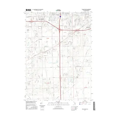 2017 Ypsilanti West2017 Print · USGSThe developing corridor between Ann Arbor and Ypsilanti comes into focus here in the early twenty-first century. Genealogists and local historians can locate several rural burial grounds, such as Historic Terhune Graveyard and Stony Creek Cem, alongside landmarks like Cleary Univ.
 - 2017 Map of Saline, 2017 Print
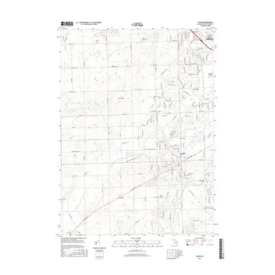 2017 Saline2017 Print · USGSThe outskirts of Ann Arbor and the expanding city of Saline are captured in the late 2010s, showing a blend of modern suburban growth and deep-rooted family history. Local researchers can locate numerous historic burial sites like Rosier Cem, Union Cem, and Judd Cem along the historic sections of W Michigan Ave.
 - 2019 Map of Milan, 2019 Print
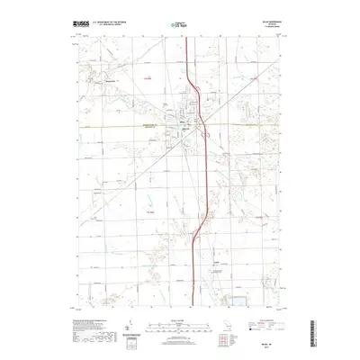 2019 Milan2019 Print · USGSThe city of Milan sits at the junction of Washtenaw and Monroe Counties in the late twenty-teens, surrounded by a complex network of agricultural drains and river bends. Researchers can trace local history through numerous burial sites like Mooreville Cem and Rice Cem, or locate landmarks such as the Milan Airport.
 - 2019 Map of Saline, 2019 Print
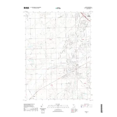 2019 Saline2019 Print · USGSWashtenaw County south of Ann Arbor is shown in the late 2010s as it balances suburban growth with its agricultural roots. Researchers can locate many historical burial sites such as Lodi Cem and Judd Cem or trace the course of the Saline River.
 - 2019 Map of Macon, 2019 Print
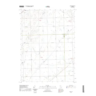 2019 Macon2019 Print · USGSSoutheast Michigan farm country meets at the junction of three counties in the late twenty-teens, revealing a landscape of historic crossroads and small airfields. Researchers can locate numerous family burial sites like Lake Ridge Cem and Oakhill Cem or trace rural aviation at Trudeau Airport.
 - 2019 Map of Ypsilanti West, 2019 Print
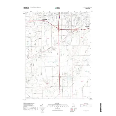 2019 Ypsilanti West2019 Print · USGSSoutheast Michigan’s corridor between Ann Arbor and Ypsilanti is shown here in the late twenty-teens, balancing suburban expansion with its rural origins. Genealogists and local historians can locate several burial grounds including Historic Terhune Graveyard and York Cem.
End of results
Showing maps 1-16 of 16
Top cities near York Charter Township
- Ann Arbor historical maps
- Canton Township historical maps
- Ypsilanti Charter Township historical maps
- Pittsfield Charter Township historical maps
- Van Buren Charter Township historical maps
- Plymouth Charter Township historical maps
See more
Top neighborhoods of York Charter Township
Frequently asked questions
- What are the different types of historical maps available for York Charter Township?
- What is the oldest map of York Charter Township?
- Where can I purchase historical maps of York Charter Township for my home or office?
- Where can I download high-res historical maps of York Charter Township?
- Are there historical topographic maps available for York Charter Township?
- Is there historical aerial imagery available for York Charter Township?
- Where are historical maps of York Charter Township sourced from?