Old Maps of York Charter Township, Michigan for Hiking & Exploration
Hike through history with 34 historic maps of York Charter Township. Explore old trails, ghost towns, and forgotten backroads — perfect for outdoor adventurers and local explorers.
- Rediscover forgotten places: Map out old mining camps, roads, and footpaths that no longer exist on modern maps.
- Layer with modern tools: Combine with LiDAR or satellite views to plan hikes through historical terrain.
- Made for exploration: Popular among hikers, overlanders, and local history lovers.
Use these maps to find adventure and explore the hidden past of York Charter Township.
York Charter Township, MI maps
(34)- 1902 Map of Ypsilanti, 1958 Print
 1902 Ypsilanti1958 Print · USGSSoutheast Michigan at the turn of the century shows a landscape defined by thriving rail towns and winding river valleys. Genealogists and historians can trace the early footprints of Ypsilanti or find smaller locales like Rawsonville and Azalia along the Huron River and Michigan Central RR.
 - 1904 Map of Ann Arbor
 1904 Ann Arbor1904 Print · USGSEarly twentieth-century Washtenaw County comes to life through its dense network of interurban electric lines and steam railroads. Researchers can trace the layout of Ann Arbor, locate the Duck Lake School, or find vanished stops along the Michigan Central R. R. and Ann Arbor R. R..2 unique versions available
 - 1906 Map of Ypsilanti
 1906 Ypsilanti1906 Print · USGSSoutheast Michigan at the dawn of the century reveals a landscape defined by its bustling river towns and burgeoning rail networks. Trace the early development of Ypsilanti and Milan or locate vanished stops along the Michigan Central RR and the Wabash RR.3 unique versions available
 - 1906 Map of Saline
 1906 Saline1906 Print · USGSSoutheastern Michigan at the start of the century was a landscape of thriving rail hubs and productive farm country. Trace the early tracks of the Lake Shore and Michigan Southern R R through the streets of Saline, Tecumseh, and the village of Clinton.4 unique versions available
 - 1908 Map of Ann Arbor
 1908 Ann Arbor1908 Print · USGSSoutheast Michigan at the turn of the century shows a landscape transitioning through the arrival of electric rail and the growth of the Huron River valley. Genealogists and researchers can trace old family lands near Saline, Ypsilanti, and Whitmore Lake, or follow the path of the Michigan Central RR.
 - 1954 Map of Detroit
 1954 Detroit1954 Print · USGSThe Detroit metro and its Ontario neighbors are shown at the height of the mid-century industrial era, just as the suburbs were rapidly expanding. Researchers can trace the massive rail networks of the Wabash Railroad or locate landmarks like Grosse Ile and Selfridge Air Force Base.
 - 1961 Map of Detroit, 1973 Print
 1961 Detroit1973 Print · USGSThe international border between Michigan and Ontario was a bustling industrial corridor in the early sixties. Researchers can trace the transit networks and riverfront infrastructure connecting Detroit to Windsor via the Detroit-Windsor Tunnel and major air hubs like Willow Run Airport.2 unique versions available
 - 1965 Map of Detroit
 1965 Detroit1965 Print · USGSThe industrial corridor between Michigan and Ontario is captured here at mid-century, showing the dense rail and river networks of the Great Lakes. Local historians can trace the paths of the Grand Trunk Western RR and locate key landmarks like Selfridge Air Force Base and Grosse Ile.
 - 1967 Map of Saline, 1969 Print
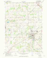 1967 Saline1969 Print · USGSWashtenaw County agriculture and industry meet in the late sixties as the city of Saline expands along the Saline River. Genealogists and local historians can trace old family footprints at Lodi Cem, the hamlet of Benton, and the Ann Arbor RR corridor.3 unique versions available
 - 1967 Map of Macon, 1969 Print
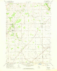 1967 Macon1969 Print · USGSThe tri-county borderlands of Lenawee, Washtenaw, and Monroe are captured here in the late sixties as agricultural life and rail transport intersected. Genealogists can locate family-named plots at Benton Cem and Welch Cem or trace the Norfolk and Western Railway through Cone.2 unique versions available
 - 1967 Map of Ypsilanti West, 1969 Print
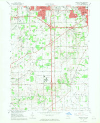 1967 Ypsilanti West1969 Print · USGSWashtenaw County's transition from agricultural townships to suburban suburbs is documented here in the late sixties. Researchers can trace the massive footprint of the Ypsilanti State Hospital and find local landmarks like the York Cem and Stone Sch.4 unique versions available
 - 1967 Map of Milan, 1970 Print
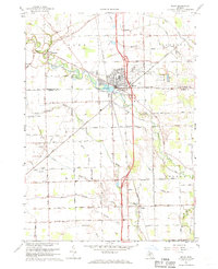 1967 Milan1970 Print · USGSSoutheast Michigan in the late sixties reveals a landscape of thriving township centers and sprawling agricultural drains. Genealogists and local historians can trace family plots at Marble Park Cemetery or follow the historic Old Indian Treaty Boundary near Azalia.2 unique versions available
 - 1985 Map of Detroit
 1985 Detroit1985 Print · USGSSoutheast Michigan in the mid-eighties shows a landscape defined by industrial power and suburban reach from the Detroit River to the Huron Valley. Researchers can trace the rail lines of the Conrail, explore the grounds of the University of Michigan, and locate numerous sites like Mt Olivet Cem.
 - 1989 Map of Detroit, 1991 Print
 1989 Detroit1991 Print · USGSSoutheast Michigan and across the river into Ontario reached a point of peak metropolitan density at the end of the 1980s. Local researchers can trace the footprint of the University of Michigan campus, the industrial waterfronts of Wyandotte, and the extensive grounds of Glen Eden Cem.
 - 2011 Map of Milan, 2011 Print
 2011 Milan2011 Print · USGSThe community of Milan and its surrounding townships are shown here during a period of steady growth in the early twenty-first century. Genealogists and local historians can trace family sites near Mooreville Cemetery, the Azalia Post Office, and the Saline River corridor.
 - 2011 Map of Macon, 2011 Print
 2011 Macon2011 Print · USGSThe rural landscape of Washtenaw County comes into focus here during the early 21st century, showing the enduring grid of agricultural roads and creeks. Genealogists can trace family roots through six local burial sites, including South Macon Cemetery and Oakhill Cemetery.
 - 2011 Map of Ypsilanti West, 2011 Print
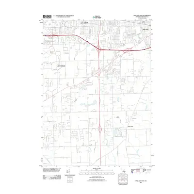 2011 Ypsilanti West2011 Print · USGSWashtenaw County's southern expansion and traditional rural borders are visible in the early twenty-first century. Genealogists and historians can trace family locations near York Cemetery and the historic settlement of Stony Creek.
 - 2011 Map of Saline, 2011 Print
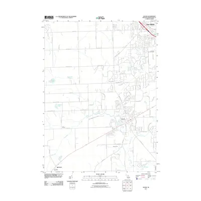 2011 Saline2011 Print · USGSWashtenaw County at the start of the 2010s shows the suburban expansion of Ann Arbor meeting the rural roots of Saline. Trace local history through family-named landmarks and sites like Lodi Cemetery, the Ann Arbor Municipal Airport, and Birkle Lake.
 - 2014 Map of Saline, 2014 Print
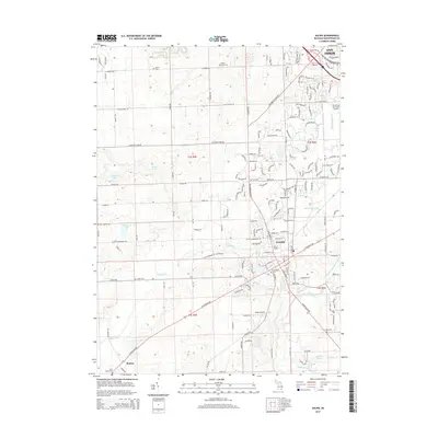 2014 Saline2014 Print · USGSWashtenaw County during the early twenty-first century shows a landscape where the expanding footprint of Saline meets rural township life. Genealogists and historians can locate numerous family-named burial sites like Rosier Cem and Judd Cem or trace the route of the Saline River.
 - 2014 Map of Milan, 2014 Print
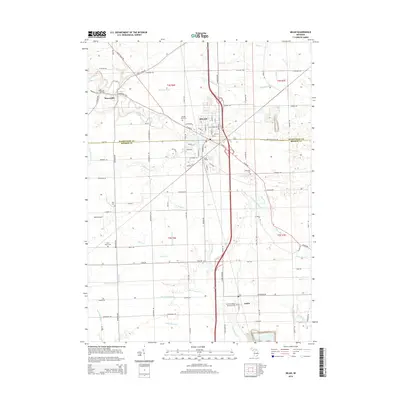 2014 Milan2014 Print · USGSThe borderlands of Washtenaw and Monroe Counties appear here in the early twenty-first century, centered on the rail-linked hub of Milan. Local historians can trace cemetery locations like Saint Marys Cem and the small settlements at Mooreville and Azalia.
 - 2014 Map of Ypsilanti West, 2014 Print
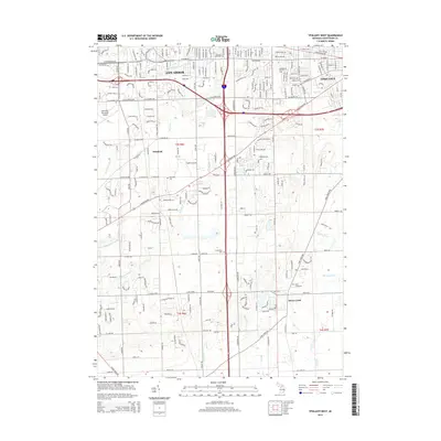 2014 Ypsilanti West2014 Print · USGSWashtenaw County during its early 21st-century expansion shows a detailed landscape of intersecting highways and preserved local history. Researchers can locate several historic burial sites like Terhune Graveyard and Harwood Cemetery alongside the Ann Arbor Municipal Airport.
 - 2014 Map of Macon, 2014 Print
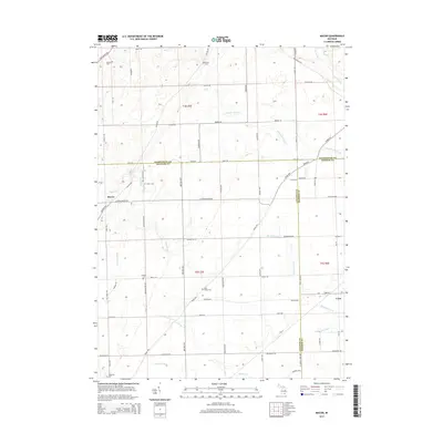 2014 Macon2014 Print · USGSSoutheastern Michigan agriculture and county borderlands are detailed here in the early twenty-first century. Genealogists can trace family footprints across several rural burial sites, such as Oakhill Cem and Macon Cem, near the settlement of Macon.
 - 2017 Map of Macon, 2017 Print
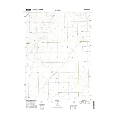 2017 Macon2017 Print · USGSThe rural borderlands where Washtenaw, Lenawee, and Monroe Counties meet are captured here in the late twenty-teens. Genealogists can trace family footprints across several historic burial grounds, including South Macon Cem, Macon Cem, and Ridgeway Cem.
 - 2017 Map of Milan, 2017 Print
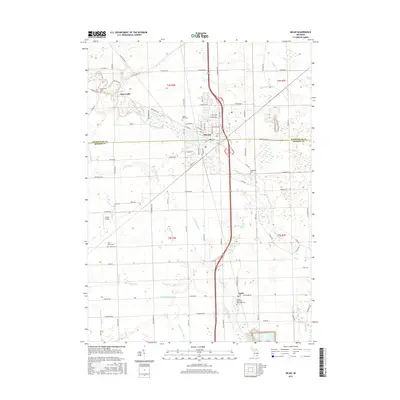 2017 Milan2017 Print · USGSMilan and its surrounding townships are shown here in the late twenty-teens as the area continues its long history as a regional crossroads. Researchers can trace family sites at Azalia Methodist Episcopal Cemetery, Rice Cemetery, and the riverfront settlement of Mooreville.
 - 2017 Map of Ypsilanti West, 2017 Print
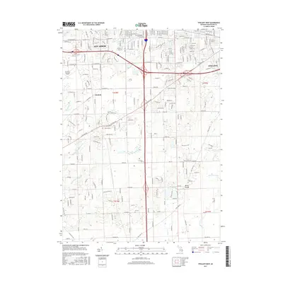 2017 Ypsilanti West2017 Print · USGSThe developing corridor between Ann Arbor and Ypsilanti comes into focus here in the early twenty-first century. Genealogists and local historians can locate several rural burial grounds, such as Historic Terhune Graveyard and Stony Creek Cem, alongside landmarks like Cleary Univ.
Showing maps 1-25 of 34
Top cities near York Charter Township
- Ann Arbor historical maps
- Canton Township historical maps
- Ypsilanti Charter Township historical maps
- Pittsfield Charter Township historical maps
- Van Buren Charter Township historical maps
- Plymouth Charter Township historical maps
See more
Top neighborhoods of York Charter Township
Frequently asked questions
- What are the different types of historical maps available for York Charter Township?
- What is the oldest map of York Charter Township?
- Where can I purchase historical maps of York Charter Township for my home or office?
- Where can I download high-res historical maps of York Charter Township?
- Are there historical topographic maps available for York Charter Township?
- Is there historical aerial imagery available for York Charter Township?
- Where are historical maps of York Charter Township sourced from?