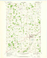
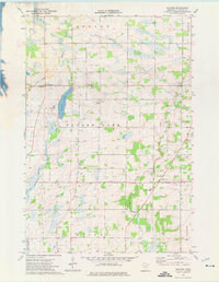
Old Maps of Gilmanton Township, Minnesota for Hiking & Exploration
Hike through history with 24 historic maps of Gilmanton Township. Explore old trails, ghost towns, and forgotten backroads — perfect for outdoor adventurers and local explorers.
- Rediscover forgotten places: Map out old mining camps, roads, and footpaths that no longer exist on modern maps.
- Layer with modern tools: Combine with LiDAR or satellite views to plan hikes through historical terrain.
- Made for exploration: Popular among hikers, overlanders, and local history lovers.
Use these maps to find adventure and explore the hidden past of Gilmanton Township.
Gilmanton Township, MN maps
(24)- 1950 Map of St. Cloud, 1952 Print
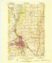 1950 St. Cloud1952 Print · USGSMid-century St. Cloud and its neighbors grew along the river as a hub of education, granite quarrying, and transport. Local researchers can locate the State Teachers College, the State Reformatory, and numerous rural schools like School No 5.3 unique versions available
 - 1953 Map of Saint Cloud, 1968 Print
 1953 Saint Cloud1968 Print · USGSCentral Minnesota's lake country and the Mississippi River valley are caught in a period of steady mid-century growth. Researchers can trace historic rail lines, old granite works, and local landmarks like St. Johns University, Camp Ripley, and the shores of Lake Minnewaska.3 unique versions available
 - 1953 Map of Stillwater, 1980 Print
 1953 Stillwater1980 Print · USGSThe Twin Cities and the St. Croix Valley are captured in this mid-century survey as the interstate era began to transform the Upper Midwest. Genealogists and historians can trace the rail-and-river geography of Stillwater, locate landmarks in Anoka, or explore the sprawling St Croix State Park.
 - 1955 Map of Stillwater, 1965 Print
 1955 Stillwater1965 Print · USGSThe Upper St. Croix Valley and the growing Twin Cities area are shown here during the mid-fifties, before the interstate era transformed the regional commute. You can trace the lines of the Northern Pacific RR through towns like Rush City or locate the Saint Croix Indian Reservation.
 - 1957 Map of Saint Cloud
 1957 Saint Cloud1957 Print · USGSCentral Minnesota's lake country and rail corridors are meticulously detailed in the mid-1950s. Genealogists and researchers can trace the growth of towns like Alexandria, Willmar, and Saint Cloud along the Great Northern railroad line.
 - 1958 Map of Stillwater
 1958 Stillwater1958 Print · USGSThe Upper Mississippi and St. Croix River valleys appear in the mid-fifties as the Twin Cities expanded north. Genealogists can locate family landmarks like Oak Park Cem, Saint Michael Church, and the Soo Line RR rail corridors.2 unique versions available
 - 1958 Map of Saint Cloud
 1958 Saint Cloud1958 Print · USGSCentral Minnesota in the mid-1950s shows a landscape of growing regional hubs and hundreds of glacial lakes connected by an extensive rail network. Genealogists and historians can trace the early footprints of Saint Cloud, Alexandria, and Willmar along the Great Northern Railway.
 - 1965 Map of Stillwater
 1965 Stillwater1965 Print · USGSThe Twin Cities and the St. Croix Valley are mapped here during a period of significant post-war growth and industrial transit. Genealogists and historians can trace rail lines like the Northern Pacific RR through towns such as Rush City, Amery, and Balsam Lake.
 - 1968 Map of Foley, 1970 Print
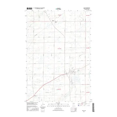
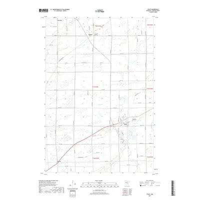
 1968 Foley1970 Print · USGSBenton County agriculture and industry meet in the late sixties, where the Great Northern rail line cuts through the heart of the region. Researchers can locate the St Johns Cem, trace the course of the Elk River, and find small settlements like Jakeville and Parent.2 unique versions available
 - 1974 Map of Mayhew, 1976 Print
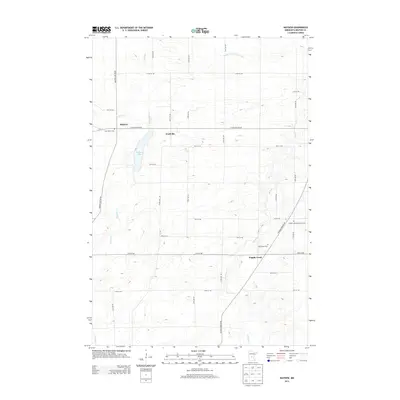
 1974 Mayhew1976 Print · USGSBenton County townships are captured here in the mid-1970s, showcasing a rural landscape defined by glacial lakes and agricultural drainage. Researchers can locate family landmarks such as St Johns Ch, St Marys Cem, and the old Townhall near Fruitville.
 - 1975 Map of Stillwater
 1975 Stillwater1975 Print · USGSThe Twin Cities and the St. Croix Valley are captured in the mid-seventies, showing the urban growth of Minneapolis and St Paul. Researchers can trace old rail corridors of the Northern Pacific RR and locate tribal lands at the Mille Lacs Indian Reservation.2 unique versions available
 - 1985 Map of Mora
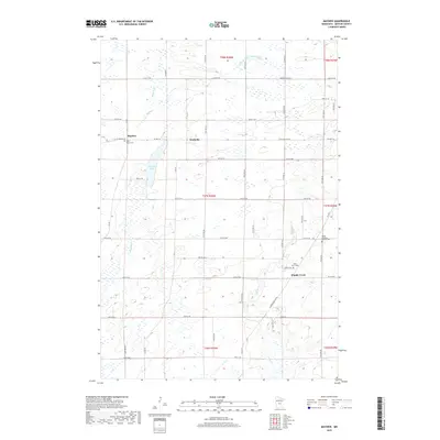
 1985 Mora1985 Print · USGSCentral Minnesota's river valleys and farming hubs are captured here in the mid-eighties, showing the region before significant modern expansion. Researchers can trace historic rail lines like the Burlington Northern and locate community landmarks in Mora, Milaca, and Princeton.
 - 1986 Map of St. Cloud
 1986 St. Cloud1986 Print · USGSCentral Minnesota in the mid-1980s reveals a landscape where river industry and growing highway corridors meet traditional farming communities. Researchers can trace the layout of small-town landmarks like St Wendel Ch and St Anna Cem or follow the path of the Sauk River as it winds toward the Mississippi.2 unique versions available
 - 1991 Map of Mora
 1991 Mora1991 Print · USGSThe Rum River valley and central Minnesota lakelands are shown in great detail in the early 1990s. Genealogists and local historians can trace rural school locations, family cemeteries, and local landmarks like St. Marys Ch or the Municipal Airport in Mora.
 - 2010 Map of Mayhew, 2010 Print
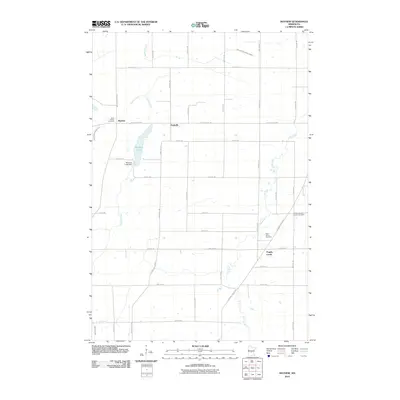 2010 Mayhew2010 Print · USGSCovers Gilmanton Township, including Saint George Township, Fruitville, and other nearby areas
 - 2010 Map of Foley, 2010 Print
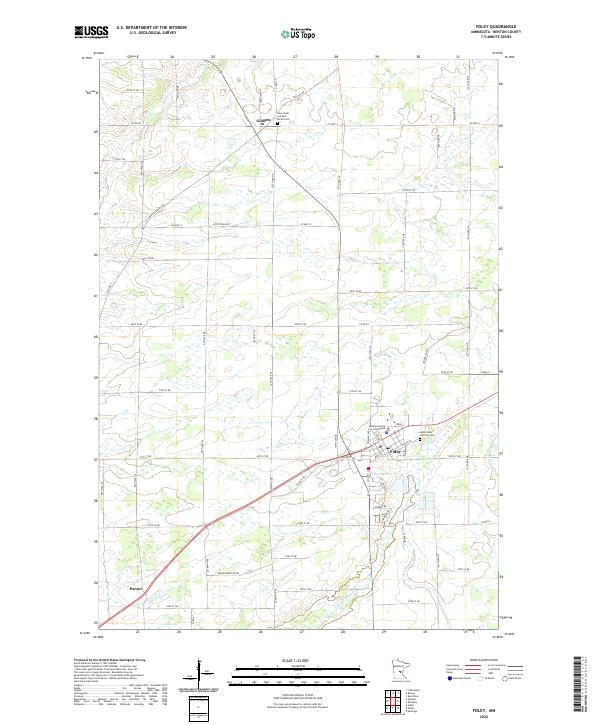
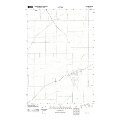 2010 Foley2010 Print · USGSCovers Gilmanton Township, including Gilman, Saint George Township, and other nearby areas
 - 2013 Map of Foley, 2013 Print
 2013 Foley2013 Print · USGSCovers Gilmanton Township, including Gilman, Saint George Township, and other nearby areas
 - 2013 Map of Mayhew, 2013 Print
 2013 Mayhew2013 Print · USGSCovers Gilmanton Township, including Saint George Township, Fruitville, and other nearby areas
 - 2016 Map of Mayhew, 2016 Print
 2016 Mayhew2016 Print · USGSCovers Gilmanton Township, including Saint George Township, Fruitville, and other nearby areas
 - 2016 Map of Foley, 2016 Print
 2016 Foley2016 Print · USGSCovers Gilmanton Township, including Gilman, Saint George Township, and other nearby areas
 - 2019 Map of Foley, 2019 Print
 2019 Foley2019 Print · USGSCovers Gilmanton Township, including Gilman, Saint George Township, and other nearby areas
 - 2019 Map of Mayhew, 2019 Print
 2019 Mayhew2019 Print · USGSCovers Gilmanton Township, including Saint George Township, Fruitville, and other nearby areas
 - 2022 Map of Foley, 2022 Print
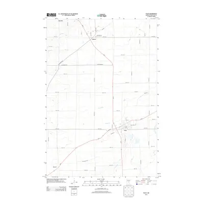
 2022 Foley2022 Print · USGSBenton County centers around the seat of Foley in the early 2020s, a landscape defined by its river systems and rural crossroads. Researchers can trace local heritage through the Benton County Courthouse and sites like Saint Johns Catholic Cem.
 - 2022 Map of Mayhew, 2022 Print
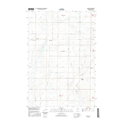
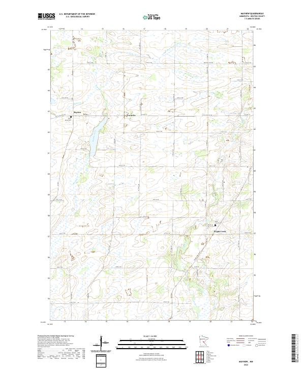 2022 Mayhew2022 Print · USGSBenton County's rural townships are documented here in the early twenty-first century, showing a landscape defined by agricultural drainage and small settlements. Genealogists can locate Saint Marys Cem and Saint John's Cem or trace family roots near Fruitville and Popple Creek.
End of results
Showing maps 1-24 of 24
Top cities near Gilmanton Township
- St. Cloud historical maps
- Saint Cloud historical maps
- Sauk Rapids historical maps
- Sartell historical maps
- Saint Augusta historical maps
- Santiago historical maps
See more
Frequently asked questions
- What are the different types of historical maps available for Gilmanton Township?
- What is the oldest map of Gilmanton Township?
- Where can I purchase historical maps of Gilmanton Township for my home or office?
- Where can I download high-res historical maps of Gilmanton Township?
- Are there historical topographic maps available for Gilmanton Township?
- Is there historical aerial imagery available for Gilmanton Township?
- Where are historical maps of Gilmanton Township sourced from?