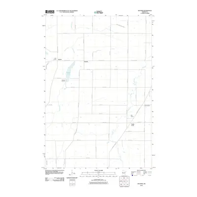
2010 Map of Mayhew
USGS Topo · Published 2010About this map
Mayhew Lake and the Elk River drainage system define the landscape of this rural portion of Benton County at the start of the 21st century. The map shows a transition from small settlements like Mayhew, Fruitville, and Popple Creek to a more dispersed agricultural pattern. Local heritage is preserved in the presence of several established burial grounds, including Saint Marys Cemetery, Saint John's Cemetery, and the Polish Lutheran Church Cemetery.
Find a feature on this map
37 named features on this map. Tap any name to fly to it.
Don’t see what you’re looking for? This feature index may not catch every label — zoom into the map to look around manually.
Map Details
Editions of this 2010 Mayhew Map
This is the sole edition of this map. No revisions or reprints were ever made.
Other maps of this area

1948 · Pierz
USGS Topo · 1:62,500

1950 · Pierz
USGS Topo · 1:62,500

1950 · St. Cloud
USGS Topo · 1:62,500

1953 · Saint Cloud
USGS Topo · 1:250,000

1953 · Stillwater
USGS Topo · 1:250,000

1955 · Stillwater
USGS Topo · 1:250,000

1957 · Saint Cloud
USGS Topo · 1:250,000

1958 · Stillwater
USGS Topo · 1:250,000

1958 · Saint Cloud
USGS Topo · 1:250,000

1965 · Stillwater
USGS Topo · 1:250,000
Featured Places
- Saint George Township, MN
- Gilmanton Township, MN
- Fruitville, MN
- Popple Creek, MN
- Mayhew Lake Township, MN