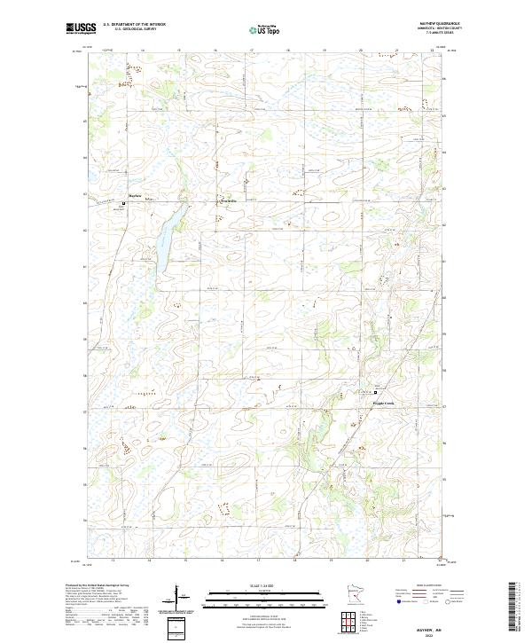
2022 Map of Mayhew
USGS Topo · Published 2022About this map
Mayhew Creek and the Elk River define the watery landscape of central Benton County in this 2022 survey. The area is characterized by a grid of rural routes such as 45th St NE and Co Hwy 13, which connect small communities like Fruitville and Popple Creek. The map provides specific locations for genealogical research, including Saint Marys Cem near the settlement of Mayhew and Saint John's Cem further south.
Find a feature on this map
37 named features on this map. Tap any name to fly to it.
Don’t see what you’re looking for? This feature index may not catch every label — zoom into the map to look around manually.
Map Details
Editions of this 2022 Mayhew Map
This is the sole edition of this map. No revisions or reprints were ever made.
Other maps of this area

1948 · Pierz
USGS Topo · 1:62,500

1950 · Pierz
USGS Topo · 1:62,500

1950 · St. Cloud
USGS Topo · 1:62,500

1953 · Saint Cloud
USGS Topo · 1:250,000

1953 · Stillwater
USGS Topo · 1:250,000

1955 · Stillwater
USGS Topo · 1:250,000

1957 · Saint Cloud
USGS Topo · 1:250,000

1958 · Stillwater
USGS Topo · 1:250,000

1958 · Saint Cloud
USGS Topo · 1:250,000

1965 · Stillwater
USGS Topo · 1:250,000
Featured Places
- Saint George Township, MN
- Mayhew Lake Township, MN
- Minden Township, MN
- Alberta Township, MN
- Gilmanton Township, MN