2010s Maps of Big Stone County, Minnesota
Explore 84 historic maps of Big Stone County from the 2010s. These maps offer a rare glimpse into what life looked like during the 2010s — showing old roads, neighborhoods, homes, and landmarks that have changed or disappeared over time.
Whether you're researching your family's past, planning a metal detecting trip, or studying how Big Stone County's landscape evolved across the 2010s, these high-resolution maps are a powerful tool for exploring the history of this region.
- Focus on a specific era: All maps on this page are from the 2010s, giving you a focused view of this time period.
- See what’s changed: Compare century-old streets, trails, and buildings to today's modern landscape using overlays and satellite layers.
- Research with precision: Use these maps for genealogy, historical research, land use analysis, or educational projects.
- View, download, or print: Maps are fully viewable online in high resolution, and can be downloaded or printed for your own records.
Start exploring Big Stone County's history through authentic maps from the 2010s. This is your window into the past.
Big Stone County, MN maps
(84)- 2010 Map of Dismal Swamp, 2010 Print
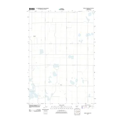 2010 Dismal Swamp2010 Print · USGSBig Stone County is shown here in the early 2000s, captured as a landscape of prairie potholes and rural section roads. Genealogists and local historians can locate Maple Cemetery and trace the contours of Olson Lake and the Lone Tree Lakebed.
 - 2010 Map of Barry, 2010 Print
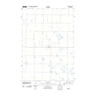 2010 Barry2010 Print · USGSThe small prairie community of Barry sits at the heart of this Big Stone County landscape during the early 21st century. Genealogists and local researchers can trace the rural road network and find landmarks like Fogarty Lake, Clear Lake, and Stanley Field.
 - 2010 Map of Clinton, 2010 Print
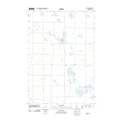 2010 Clinton2010 Print · USGSBig Stone County in the early twenty-first century is a landscape of prairie townships and interconnected glacial lakes. Researchers can locate several rural burial sites such as Saint Pauli Cemetery and Big Stone Baptist Cemetery, alongside the town of Clinton.
 - 2010 Map of Dry Wood Lake, 2010 Print
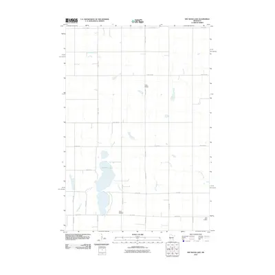 2010 Dry Wood Lake2010 Print · USGSStevens County farmland at the start of the 2010s shows a landscape of persistent agricultural tradition and rural community. Genealogists can locate family sites near Trinity Lutheran Cemetery, Good Shepherd Cemetery, or the banks of Dry Wood Lake.
 - 2010 Map of Graceville, 2010 Print
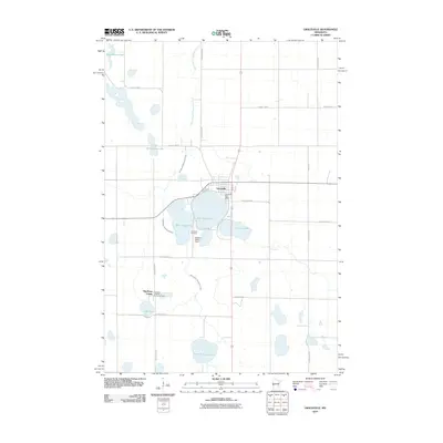 2010 Graceville2010 Print · USGSGraceville and the surrounding Big Stone County prairie are documented here in the early twenty-first century, centered on a cluster of notable glacial lakes. Researchers can locate the Big Stone Colony, trace the grounds of the Graceville Cemetery, or follow the West Branch Twelvemile Creek.
 - 2010 Map of Big Stone Lake SE, 2010 Print
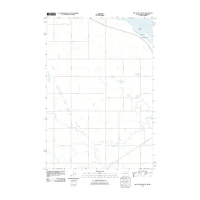 2010 Big Stone Lake SE2010 Print · USGSBig Stone Lake and the South Dakota-Minnesota borderlands are captured here at the start of the decade. Researchers can trace the rural section-line road network and identify lakeside landmarks like Camp Tepeetonka and Manhattan Island.
 - 2010 Map of Appleton, 2010 Print
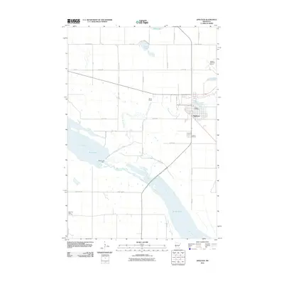 2010 Appleton2010 Print · USGSAppleton and the surrounding river valleys are captured here in the first decade of the millennium. Researchers can trace the winding Pomme de Terre River and locate local landmarks like the Appleton Cemetery, Marsh Lake Dam, and the Minnesota Valley Cemetery.
 - 2010 Map of Browns Valley, 2010 Print
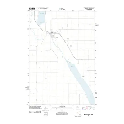 2010 Browns Valley2010 Print · USGSBrowns Valley sits at a continental hydrological divide at the turn of the millennium. Genealogists and local historians can trace the town's footprint, including the Browns Valley Post Office, Plateau Cemetery, and the proximity of Big Stone Lake.
 - 2010 Map of Beardsley, 2010 Print
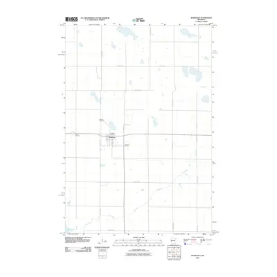 2010 Beardsley2010 Print · USGSBeardsley and the surrounding prairie of Big Stone County are shown here as they appeared in 2010. Genealogists and local historians can locate three distinct cemeteries, including Midway Cemetery and Saint Mary Cemetery, alongside the village Beardsley Post Office.
 - 2010 Map of Big Stone Lake East, 2010 Print
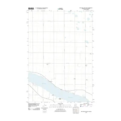 2010 Big Stone Lake East2010 Print · USGSBig Stone Lake and the headwaters of the Minnesota River define this South Dakota-Minnesota borderland in the early twenty-first century. Genealogists can locate several local burial grounds including Elim Cemetery, Bailey Cemetery, and Lakeside Cemetery.
 - 2010 Map of Lake Oliver, 2010 Print
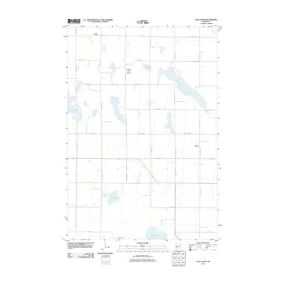 2010 Lake Oliver2010 Print · USGSThe prairie wetlands of Big Stone County are captured here in the early 2000s, showcasing a landscape of glacial lakes and rural farmsteads. Genealogists can locate family burial sites at Waldum Cemetery, Long Lake Cemetery, and Immanuel Cemetery.
 - 2010 Map of Big Stone Lake West, 2010 Print
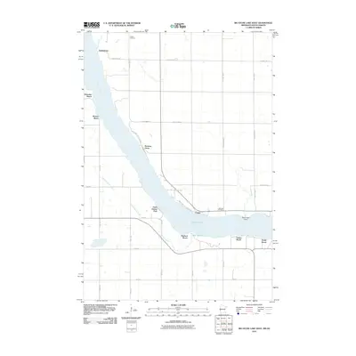 2010 Big Stone Lake West2010 Print · USGSBig Stone Lake and the Minnesota River valley are shown here in the early twenty-first century, highlighting a landscape defined by shoreline recreation. Genealogists and locals can locate family markers at Holden Cemetery or trace the small lakeside clusters of Yankeetown, Foster, and Shady Beach.
 - 2010 Map of Bellingham, 2010 Print
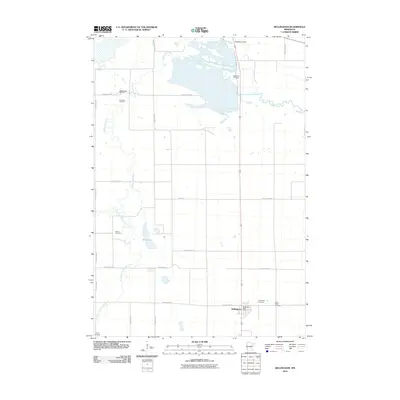 2010 Bellingham2010 Print · USGSBellingham and the surrounding Lac qui Parle County countryside are documented here in the early 21st century. Genealogists and local historians can locate several family burial sites including Immanuel Cemetery, Salem Cemetery, and the Bellingham Cemetery.
 - 2010 Map of Odessa, 2010 Print
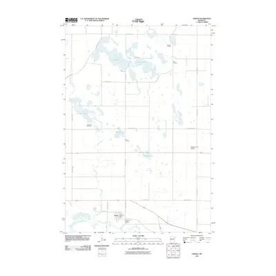 2010 Odessa2010 Print · USGSBig Stone County is documented here during the early twenty-first century, showing the rural landscape around the Minnesota River. Researchers can locate several burial sites like Eidskog Cemetery and Rest Cemetery, or trace the course of Stony Run.
 - 2010 Map of Correll, 2010 Print
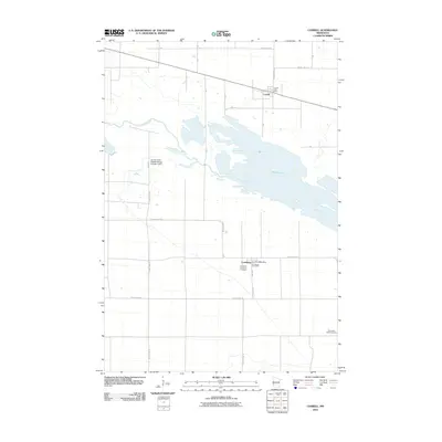 2010 Correll2010 Print · USGSBig Stone County remains a landscape of river-fed marshes and quiet prairie settlements during the early 2000s. Genealogists and local historians can trace family ties at the Louisburg Lutheran Cemetery or locate the rural hubs of Correll and Louisburg.
 - 2010 Map of Ortonville, 2010 Print
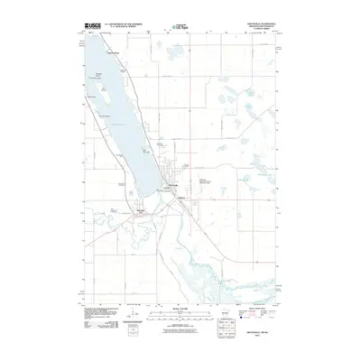 2010 Ortonville2010 Print · USGSCovers Big Stone County, including Ortonville, Big Stone City, and other nearby areas
 - 2010 Map of Artichoke Lake, 2010 Print
 2010 Artichoke Lake2010 Print · USGSBig Stone County farmland and prairie wetlands are documented here during the early twenty-first century. Family history researchers can locate the Johnson Family Cemetery and Akron Cemetery among the shores of Artichoke Lake.
 - 2010 Map of Johnson, 2010 Print
 2010 Johnson2010 Print · USGSBig Stone County is shown here in the early twenty-first century as a landscape of structured agricultural drainage and small-town continuity. Family historians can trace the Trinity Cemetery and the Johnson Post Office, or study the unique terrain of the Moonshine Lakebed.
 - 2010 Map of Chokio, 2010 Print
 2010 Chokio2010 Print · USGSThe prairie town of Chokio is captured here in the early twenty-first century, showing its layout as a quiet Stevens County agricultural hub. Genealogists and local historians can locate Saint Marys Cemetery, Chokio Cemetery, and the historic Clark Lakebed.
 - 2010 Map of Artichoke Lake NW, 2010 Print
 2010 Artichoke Lake NW2010 Print · USGSBig Stone County remained a strictly organized agricultural landscape at the dawn of the 2010s. Genealogists can trace family footprints near the Artichoke Lake Cemetery or locate the historic Artichoke Lake Post Office near the water.
 - 2011 Map of Wilmot, 2011 Print
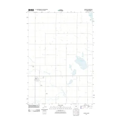 2011 Wilmot2011 Print · USGSThe Roberts County prairie and the Minnesota border are captured here in the early twenty-first century, centered on the settlement of Wilmot. Genealogists can locate family sites near the Wilmot Cemetery and trace the winding course of the North Fork Whetstone River.
 - 2012 Map of Big Stone Lake SE, 2012 Print
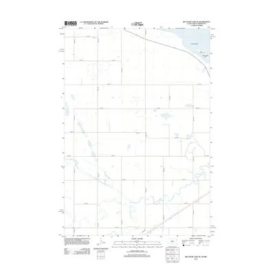 2012 Big Stone Lake SE2012 Print · USGSThe glacial waters of Big Stone Lake meet the prairie river systems of eastern Grant County in this early twenty-first-century survey. Researchers can trace the winding paths of the N Fork Whetstone River and S Fork Whetstone River as they feed the valley near Camp Tepeetonka.
 - 2012 Map of Wilmot, 2012 Print
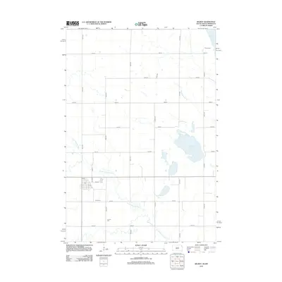 2012 Wilmot2012 Print · USGSWilmot and the surrounding Roberts County prairie are documented here in the early twenty-first century, showing the town's established grid and the rural road network. Genealogists and local researchers can locate the Wilmot Cem, Catholic Cem, and recreational sites like Camp Iyataka near Big Stone Lake.
 - 2013 Map of Big Stone Lake West, 2013 Print
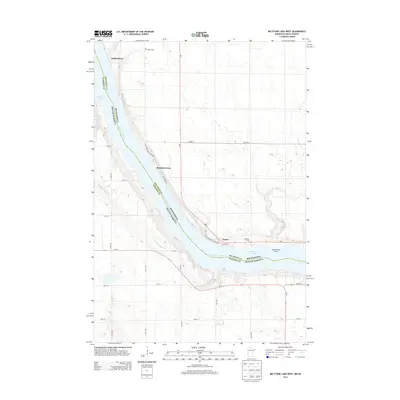 2013 Big Stone Lake West2013 Print · USGSThe interstate border at Big Stone Lake is captured here in the early twenty-first century, showing the rural communities and parklands along the shore. Researchers can locate family sites at Holden Cem and trace the original settlement footprints of Yankeetown and Foster.
 - 2013 Map of Lake Oliver, 2013 Print
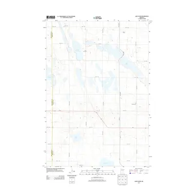 2013 Lake Oliver2013 Print · USGSBig Stone and Swift counties are mapped here during the early twenty-first century, showcasing a rural landscape defined by its prairie potholes and lakes. Genealogists can locate family sites such as Waldum Cem and Immanuel Cem or trace the property near Banken Farms.
Showing maps 1-25 of 84
Top cities of Big Stone County
- Ortonville historical maps
- Graceville historical maps
- Clinton historical maps
- Beardsley historical maps
- Foster historical maps
- Odessa historical maps
See more
Frequently asked questions
- What are the different types of historical maps available for Big Stone County?
- What is the oldest map of Big Stone County?
- Where can I purchase historical maps of Big Stone County for my home or office?
- Where can I download high-res historical maps of Big Stone County?
- Are there historical topographic maps available for Big Stone County?
- Is there historical aerial imagery available for Big Stone County?
- Where are historical maps of Big Stone County sourced from?