2000s (21st Century) Maps of Silver Township, Minnesota
Explore 20 historic maps of Silver Township from the 2000s (21st Century). These maps offer a rare glimpse into what life looked like during the 2000s — showing old roads, neighborhoods, homes, and landmarks that have changed or disappeared over time.
Whether you're researching your family's past, planning a metal detecting trip, or studying how Silver Township's landscape evolved across the 2000s, these high-resolution maps are a powerful tool for exploring the history of this region.
- Focus on a specific era: All maps on this page are from the 2000s, giving you a focused view of this time period.
- See what’s changed: Compare century-old streets, trails, and buildings to today's modern landscape using overlays and satellite layers.
- Research with precision: Use these maps for genealogy, historical research, land use analysis, or educational projects.
- View, download, or print: Maps are fully viewable online in high resolution, and can be downloaded or printed for your own records.
Start exploring Silver Township's history through authentic maps from the 2000s. This is your window into the past.
Silver Township, MN maps
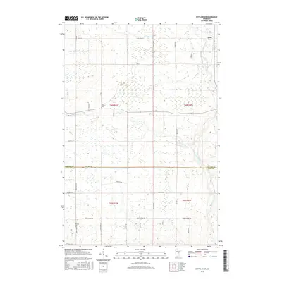
(20)- 2010 Map of Heikkila Creek, 2010 Print
 2010 Heikkila Creek2010 Print · USGSCovers Silver Township, including Kalevala Township, Split Rock Township, and other nearby areas
 - 2010 Map of Moose Lake, 2010 Print
 2010 Moose Lake2010 Print · USGSCovers Silver Township, including Moose Lake, Sturgeon Lake, and other nearby areas
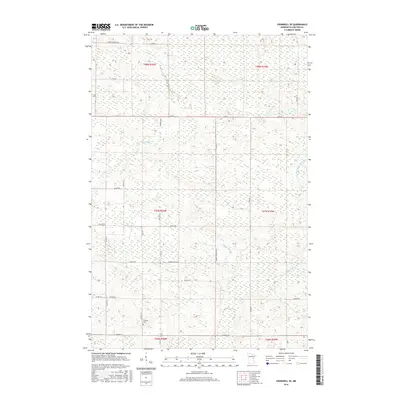
 - 2010 Map of Cromwell SE, 2010 Print
 2010 Cromwell SE2010 Print · USGSCovers Silver Township, including Skelton Township, Kalevala Township, and other nearby areas
 - 2010 Map of Kettle River, 2010 Print
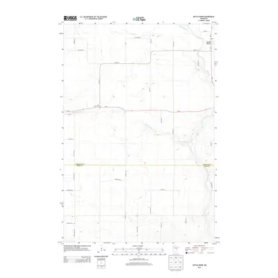
 2010 Kettle River2010 Print · USGSCovers Silver Township, including Kettle River, Split Rock Township, and other nearby areas
 - 2013 Map of Cromwell SE, 2013 Print
 2013 Cromwell SE2013 Print · USGSCovers Silver Township, including Skelton Township, Kalevala Township, and other nearby areas
 - 2013 Map of Heikkila Creek, 2013 Print
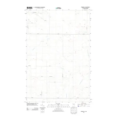
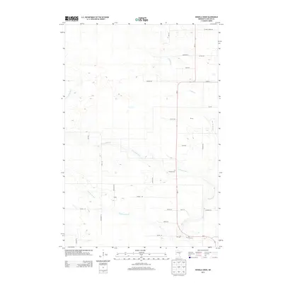 2013 Heikkila Creek2013 Print · USGSCovers Silver Township, including Kalevala Township, Split Rock Township, and other nearby areas
 - 2013 Map of Moose Lake, 2013 Print
 2013 Moose Lake2013 Print · USGSCovers Silver Township, including Moose Lake, Sturgeon Lake, and other nearby areas
 - 2013 Map of Kettle River, 2013 Print
 2013 Kettle River2013 Print · USGSCovers Silver Township, including Kettle River, Split Rock Township, and other nearby areas
 - 2016 Map of Moose Lake, 2016 Print
 2016 Moose Lake2016 Print · USGSCovers Silver Township, including Moose Lake, Sturgeon Lake, and other nearby areas
 - 2016 Map of Kettle River, 2016 Print
 2016 Kettle River2016 Print · USGSCovers Silver Township, including Kettle River, Split Rock Township, and other nearby areas
 - 2016 Map of Cromwell SE, 2016 Print
 2016 Cromwell SE2016 Print · USGSCovers Silver Township, including Skelton Township, Kalevala Township, and other nearby areas
 - 2016 Map of Heikkila Creek, 2016 Print
 2016 Heikkila Creek2016 Print · USGSCovers Silver Township, including Kalevala Township, Split Rock Township, and other nearby areas
 - 2019 Map of Moose Lake, 2019 Print
 2019 Moose Lake2019 Print · USGSCovers Silver Township, including Moose Lake, Sturgeon Lake, and other nearby areas
 - 2019 Map of Heikkila Creek, 2019 Print
 2019 Heikkila Creek2019 Print · USGSCovers Silver Township, including Kalevala Township, Split Rock Township, and other nearby areas
 - 2019 Map of Cromwell SE, 2019 Print
 2019 Cromwell SE2019 Print · USGSCovers Silver Township, including Skelton Township, Kalevala Township, and other nearby areas
 - 2019 Map of Kettle River, 2019 Print
 2019 Kettle River2019 Print · USGSCovers Silver Township, including Kettle River, Split Rock Township, and other nearby areas
 - 2022 Map of Kettle River, 2022 Print
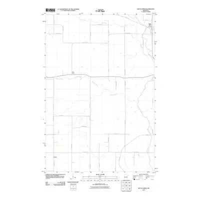
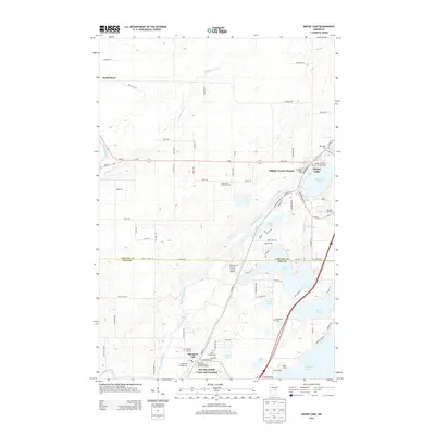
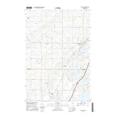
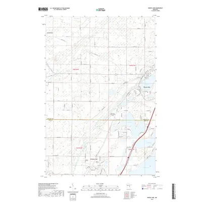
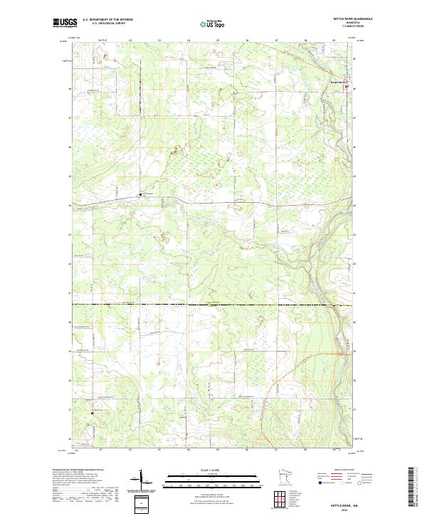 2022 Kettle River2022 Print · USGSThe settlement of Kettle River and its surrounding wetlands are documented here at the intersection of Carlton and Pine counties. Researchers can trace historic family lands along Butkiewicz Rd and follow the route of the Soo Line North: Carlton Trl.
 - 2022 Map of Moose Lake, 2022 Print
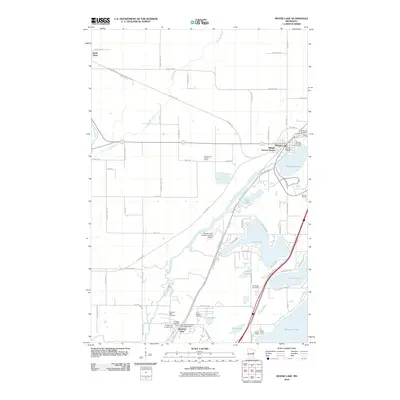
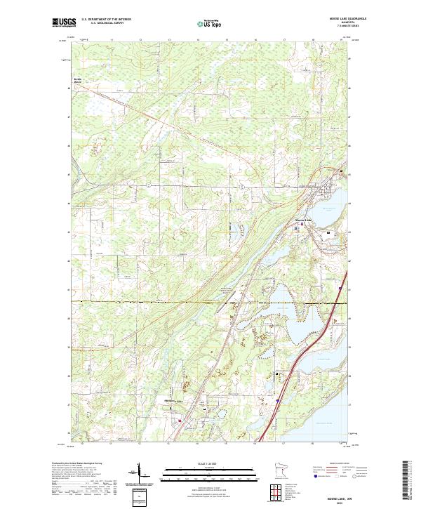 2022 Moose Lake2022 Print · USGSThe Northwoods of Minnesota are captured here in the 2020s, showing the lakes and river corridors of the Carlton and Pine county border. Researchers can trace family history at Saint Isidores Cemetery or explore the converted rail paths of the Soo Line North: Carlton Trail.
 - 2022 Map of Heikkila Creek, 2022 Print
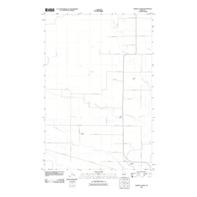
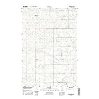
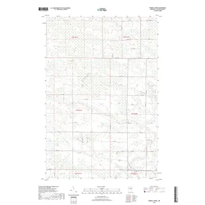
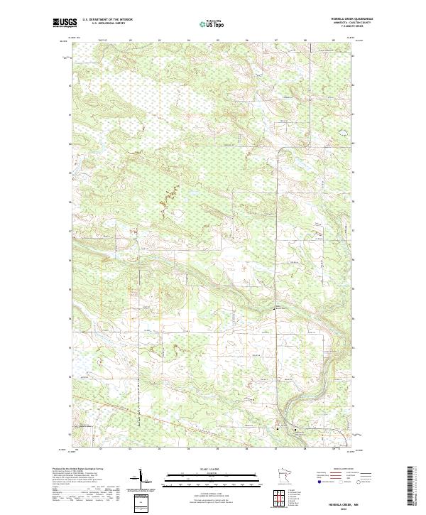 2022 Heikkila Creek2022 Print · USGSCarlton County's rural landscape is defined by the winding Kettle River and a network of wetlands in the early twenty-first century. Genealogists and local historians can locate family sites near West Branch Cem, Co-Op Cem, and the former rail corridor of the Soo Line North- Carlton Trl.
 - 2022 Map of Cromwell SE, 2022 Print
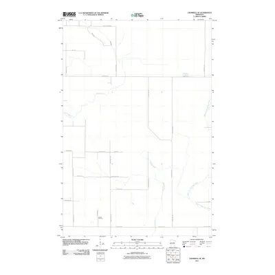
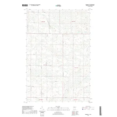
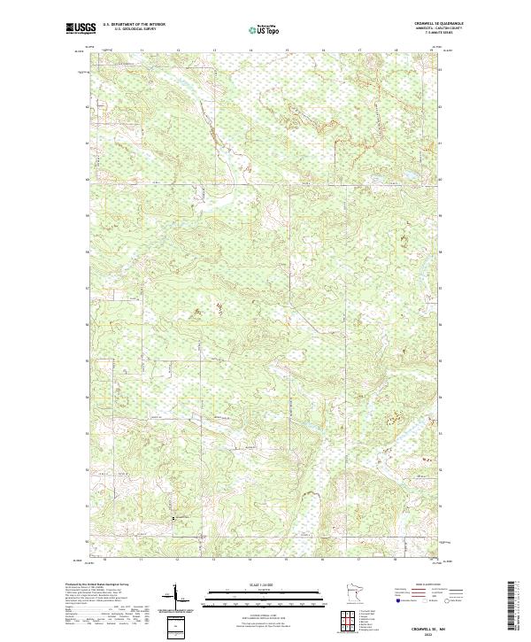 2022 Cromwell SE2022 Print · USGSThis Carlton County landscape reflects the rural character of northern Minnesota in the early twenty-first century. Genealogists and local historians can trace family-named routes like Heikkila Rd and Antila Rd or locate the historic Leonard Cem.
End of results
Showing maps 1-20 of 20
Top cities near Silver Township
- Moose Lake historical maps
- Barnum historical maps
- Willow River historical maps
- Sturgeon Lake historical maps
- Cromwell historical maps
- Rutledge historical maps
See more
Frequently asked questions
- What are the different types of historical maps available for Silver Township?
- What is the oldest map of Silver Township?
- Where can I purchase historical maps of Silver Township for my home or office?
- Where can I download high-res historical maps of Silver Township?
- Are there historical topographic maps available for Silver Township?
- Is there historical aerial imagery available for Silver Township?
- Where are historical maps of Silver Township sourced from?