Old Maps of Spring Valley, Minnesota for Academic Research
Study the evolution of Spring Valley with 16 high-resolution historic maps. Whether you're teaching, researching, or modeling changes in land use, these maps provide essential visual documentation of urban, environmental, and geographic change.
- Analyze long-term change: Track patterns in development, transportation, and natural features.
- Ideal for environmental or urban studies: Support academic projects with primary historical map data.
- Use in the classroom or lab: Educators and researchers rely on these maps to bring historical context to life.
These maps are a powerful tool for teaching, research, and visualizing how Spring Valley has changed over the decades.
Spring Valley, MN maps
(16)- 1954 Map of Mason City, 1967 Print
 1954 Mason City1967 Print · USGSSouthern Minnesota and northern Iowa are shown here at the height of the mid-century rail era, centered on the regional hubs of Mason City and Rochester. Researchers can trace the vanished paths of the Chicago Great Western and find local landmarks like Pilot Knob and Bear Lake.2 unique versions available
 - 1957 Map of Mason City
 1957 Mason City1957 Print · USGSThe Minnesota-Iowa border region comes alive in this mid-century survey, from the industrial plants of Mason City to the medical hub of Rochester. Researchers can trace the rail-and-river economy through the Chicago Great Western Railway and the Shell Rock River.
 - 1958 Map of Mason City
 1958 Mason City1958 Print · USGSSouthern Minnesota and northern Iowa are shown during the mid-fifties when railroads still anchored the regional economy. Genealogists and historians can trace the intricate rail networks of the Illinois Central and find local landmarks in Mason City, Albert Lea, and Austin.
 - 1965 Map of Wykoff, 1966 Print
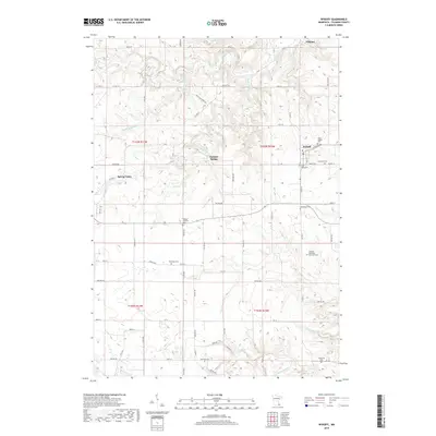
 1965 Wykoff1966 Print · USGSWykoff and the surrounding Fillmore County townships appear here in the mid-sixties, caught between their railroad heritage and the deep karst geography of the Root River valley. Researchers can pinpoint numerous family landmarks, from the Bateman Sch to local burial sites like Lone Oak Cem and St Ignatius Cem.2 unique versions available
 - 1965 Map of Spring Valley, 1966 Print
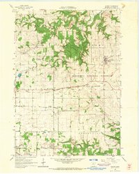
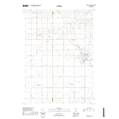
 1965 Spring Valley1966 Print · USGSSpring Valley and the surrounding townships in the mid-1960s reveal a landscape shaped by a major railroad junction and rural industry. Researchers can trace historic family burial sites like Frankford Cem and Bloomfield Cem or locate old infrastructure like the Townhall.
 - 1985 Map of Austin
 1985 Austin1985 Print · USGSSoutheast Minnesota in the mid-1980s reveals a land of river valleys and agricultural hubs along the Iowa border. Researchers can trace the legacy of regional transport through the Chicago and North Western line and landmarks like Niagara Cave or the Rochester Municipal Airport.2 unique versions available
 - 2010 Map of Spring Valley, 2010 Print
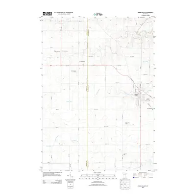
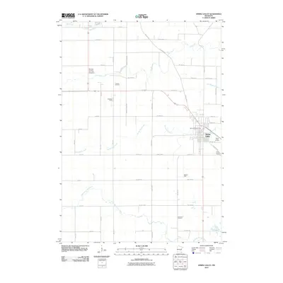 2010 Spring Valley2010 Print · USGSCovers Spring Valley, including Mower County, Fillmore County, and other nearby areas
 - 2010 Map of Wykoff, 2010 Print
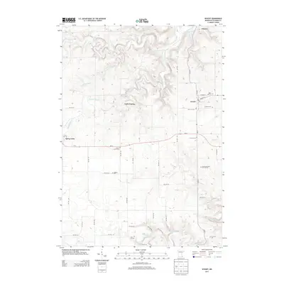
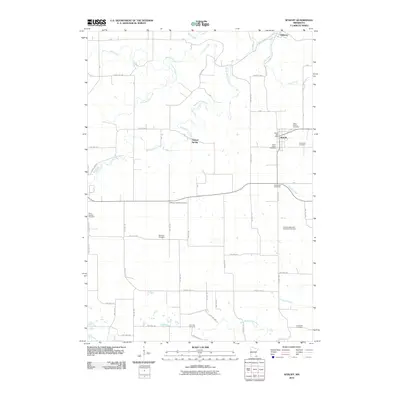 2010 Wykoff2010 Print · USGSCovers Spring Valley, including Fillmore, Wykoff, and other nearby areas
 - 2013 Map of Spring Valley, 2013 Print
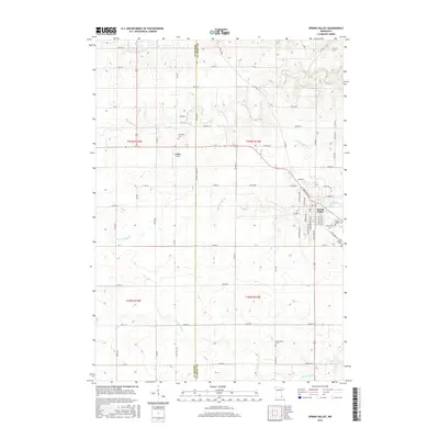
 2013 Spring Valley2013 Print · USGSCovers Spring Valley, including Mower County, Fillmore County, and other nearby areas
 - 2013 Map of Wykoff, 2013 Print
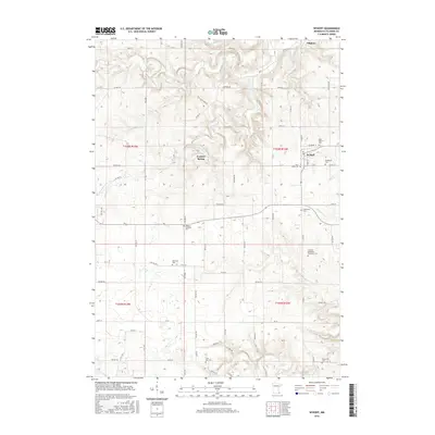
 2013 Wykoff2013 Print · USGSCovers Spring Valley, including Fillmore, Wykoff, and other nearby areas
 - 2016 Map of Wykoff, 2016 Print
 2016 Wykoff2016 Print · USGSCovers Spring Valley, including Fillmore, Wykoff, and other nearby areas
 - 2016 Map of Spring Valley, 2016 Print
 2016 Spring Valley2016 Print · USGSCovers Spring Valley, including Mower County, Fillmore County, and other nearby areas
 - 2019 Map of Wykoff, 2019 Print
 2019 Wykoff2019 Print · USGSCovers Spring Valley, including Fillmore, Wykoff, and other nearby areas
 - 2019 Map of Spring Valley, 2019 Print
 2019 Spring Valley2019 Print · USGSCovers Spring Valley, including Mower County, Fillmore County, and other nearby areas
 - 2022 Map of Spring Valley, 2022 Print
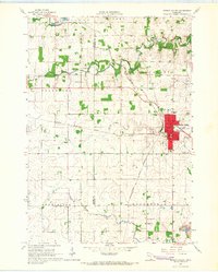
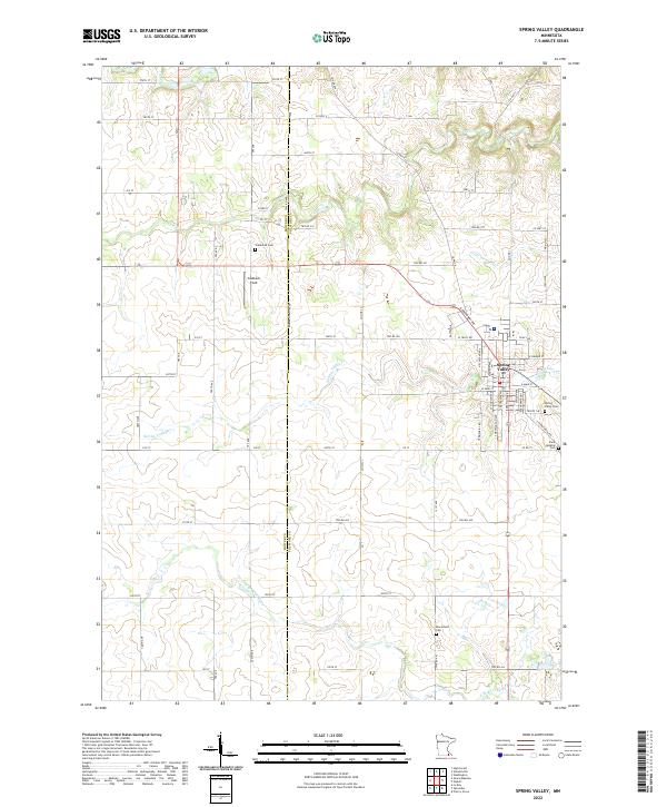 2022 Spring Valley2022 Print · USGSSpring Valley and the surrounding townships are captured in this modern survey of the Mower and Fillmore County line. Researchers can trace rural lineages through local landmarks like Frankford Cem, Bloomfield Cem, and the waters of Spring Valley Cr.
 - 2023 Map of Wykoff, 2023 Print
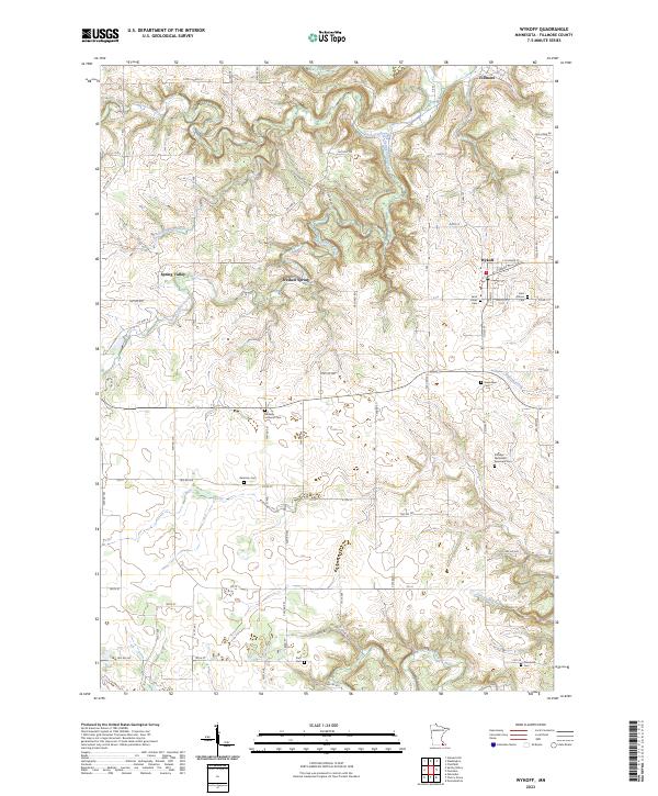 2023 Wykoff2023 Print · USGSFillmore County at the start of the 2020s shows a landscape defined by its deep creek valleys and well-preserved rural cemeteries. Genealogists can trace family names through sites like Saint Johns Cem and the Fillmore Methodist Episcopal Cem near the South Branch Root River.
End of results
Showing maps 1-16 of 16
Top cities near Spring Valley
- Rochester historical maps
- Stewartville historical maps
- Chatfield historical maps
- High Forest historical maps
- Grand Meadow historical maps
- Le Roy historical maps
See more
Frequently asked questions
- What are the different types of historical maps available for Spring Valley?
- What is the oldest map of Spring Valley?
- Where can I purchase historical maps of Spring Valley for my home or office?
- Where can I download high-res historical maps of Spring Valley?
- Are there historical topographic maps available for Spring Valley?
- Is there historical aerial imagery available for Spring Valley?
- Where are historical maps of Spring Valley sourced from?