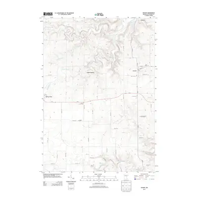
2013 Map of Wykoff
USGS Topo · Published 2013About this map
Wykoff and the eastern edge of Spring Valley anchor this portion of Fillmore County, where a dense network of township roads and state highways like MN-16 navigates the undulating Driftless Area terrain. The landscape is defined by the carved valleys of the Middle Br Root River and S Br Root River, alongside smaller tributaries including Deer Cr and Watson Cr.
Find a feature on this map
65 named features on this map. Tap any name to fly to it.
Don’t see what you’re looking for? This feature index may not catch every label — zoom into the map to look around manually.
Map Details
Editions of this 2013 Wykoff Map
This is the sole edition of this map. No revisions or reprints were ever made.
Other maps of this area

1954 · Chatfield
USGS Topo · 1:62,500

1954 · Mason City
USGS Topo · 1:250,000

1955 · Stewartville
USGS Topo · 1:62,500

1957 · Mason City
USGS Topo · 1:250,000

1958 · Mason City
USGS Topo · 1:250,000

1965 · Greenleafton
USGS Topo · 1:24,000

1965 · Wykoff
USGS Topo · 1:24,000

1965 · Spring Valley
USGS Topo · 1:24,000

1965 · Ostrander
USGS Topo · 1:24,000

1965 · Fountain
USGS Topo · 1:24,000