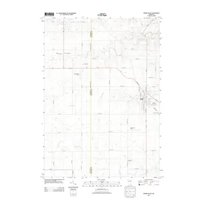
2013 Map of Spring Valley
USGS Topo · Published 2013About this map
Spring Valley serves as the primary hub in this southern Minnesota landscape, where the confluence of several vital waterways shaped the early development of the region. The town is situated along Spring Valley Cr, with the S Br Root River and Deer Cr defining the surrounding agricultural drainage. This 2013 survey illustrates a transition from the historic town center to modern recreational and transportation features, including the Deer Creek Speedway and aviation sites like Caldbeck Field Airport.
Find a feature on this map
53 named features on this map. Tap any name to fly to it.
Don’t see what you’re looking for? This feature index may not catch every label — zoom into the map to look around manually.
Map Details
Editions of this 2013 Spring Valley Map
This is the sole edition of this map. No revisions or reprints were ever made.
Other maps of this area

1954 · Mason City
USGS Topo · 1:250,000
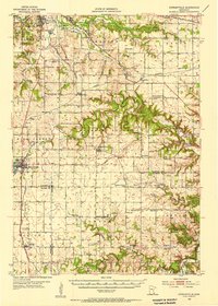
1955 · Stewartville
USGS Topo · 1:62,500
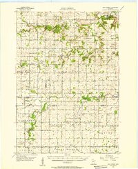
1955 · High Forest
USGS Topo · 1:62,500

1957 · Mason City
USGS Topo · 1:250,000

1958 · Mason City
USGS Topo · 1:250,000
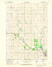
1965 · Le Roy
USGS Topo · 1:24,000
1965 · Wykoff
USGS Topo · 1:24,000
1965 · Spring Valley
USGS Topo · 1:24,000
1965 · Grand Meadow
USGS Topo · 1:24,000
1965 · Ostrander
USGS Topo · 1:24,000