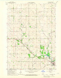
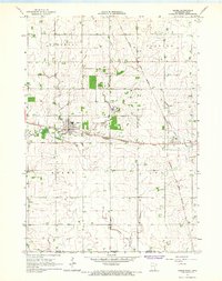
1965 Map of Le Roy
USGS Topo · Published 1966About this map
Le Roy sits at a critical rail intersection in southern Minnesota, where the Chicago Milwaukee St Paul and Pacific and the Chicago Great Western railroads converge just north of the Iowa border. The town’s grid is defined by its industrial and educational hubs, including the High Sch and several large Gravel Pits and a Quarry near the municipal boundary. To the west, the landscape is shaped by the Upper Iowa River, which widens into Lake Louise within the boundaries of Lake Louise State Park. This mid-1960s survey also identifies several local burial grounds essential for genealogical research, such as St Patricks Cem, Le Roy Cem, and the Lutheran Cem. The map even captures a small Landing Strip south of the river, reflecting the region's mid-century aviation infrastructure alongside its long-standing agricultural and rail foundations.
Find a feature on this map
22 named features on this map. Tap any name to fly to it.
Don’t see what you’re looking for? This feature index may not catch every label — zoom into the map to look around manually.
Map Details
Editions of this 1965 Le Roy Map
This is the sole edition of this map. No revisions or reprints were ever made.
Other maps of this area

1954 · Mason City
USGS Topo · 1:250,000

1957 · Mason City
USGS Topo · 1:250,000

1958 · Mason City
USGS Topo · 1:250,000

1965 · Dexter
USGS Topo · 1:24,000
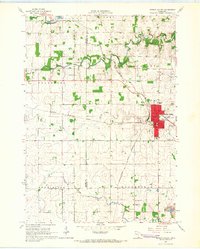
1965 · Spring Valley
USGS Topo · 1:24,000
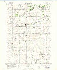
1965 · Grand Meadow
USGS Topo · 1:24,000
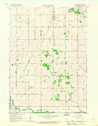
1965 · Ostrander
USGS Topo · 1:24,000
1965 · Adams
USGS Topo · 1:24,000
1972 · Mc Intire
USGS Topo · 1:24,000
1972 · Little Cedar
USGS Topo · 1:24,000