
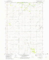
1972 Map of Mc Intire
USGS Topo · Published 1974About this map
The McIntire settlement serves as the primary hub on this northern Iowa landscape, where the Wapsipinicon River winds through the townships of Wayne and Jenkins. This 1970s survey by the U.S. Geological Survey captures a rural borderland where Mitchell and Howard Counties meet the Minnesota state line. Transportation patterns are clearly defined by the Chicago and North Western rail line and several stretches of Abandoned track and Old Railroad Grade, marking the evolution of the regional dairy and grain transit network.
Find a feature on this map
21 named features on this map. Tap any name to fly to it.
Don’t see what you’re looking for? This feature index may not catch every label — zoom into the map to look around manually.
Map Details
Editions of this 1972 Mc Intire Map
This is the sole edition of this map. No revisions or reprints were ever made.
Other maps of this area

1954 · Mason City
USGS Topo · 1:250,000

1957 · Mason City
USGS Topo · 1:250,000

1958 · Mason City
USGS Topo · 1:250,000

1965 · Le Roy
USGS Topo · 1:24,000

1965 · Ostrander
USGS Topo · 1:24,000

1965 · Adams
USGS Topo · 1:24,000

1972 · Little Cedar
USGS Topo · 1:24,000

1972 · New Haven
USGS Topo · 1:24,000

1972 · Riceville
USGS Topo · 1:24,000
1981 · Lime Springs NW
USGS Topo · 1:24,000