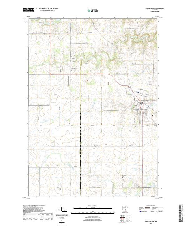
2022 Map of Spring Valley
USGS Topo · Published 2022About this map
Spring Valley serves as the primary hub of this landscape, situated at the confluence of several vital watercourses. The local drainage pattern is defined by the winding paths of Spring Valley Cr and Little Kingsley Cr, which eventually meet the S Br Root River to the south. This area, straddling the Mower and Fillmore County line, maintains its rural character through a grid of township roads and several significant community landmarks. Family historians will find interest in the scattered burial grounds that anchor the surrounding townships, including Frankford Cem to the northwest and Bloomfield Cem in the southern reaches. Near the town center, Caldbeck Field and the Spring Valley Cem indicate the long-standing civic and social foundations of the valley. The map clearly illustrates how the local topography influenced the placement of these early institutions along the creek beds and ridges.
Find a feature on this map
76 named features on this map. Tap any name to fly to it.
Don’t see what you’re looking for? This feature index may not catch every label — zoom into the map to look around manually.
Map Details
Editions of this 2022 Spring Valley Map
This is the sole edition of this map. No revisions or reprints were ever made.
Other maps of this area

1954 · Mason City
USGS Topo · 1:250,000

1955 · Stewartville
USGS Topo · 1:62,500

1955 · High Forest
USGS Topo · 1:62,500

1957 · Mason City
USGS Topo · 1:250,000

1958 · Mason City
USGS Topo · 1:250,000

1965 · Le Roy
USGS Topo · 1:24,000

1965 · Wykoff
USGS Topo · 1:24,000

1965 · Spring Valley
USGS Topo · 1:24,000

1965 · Grand Meadow
USGS Topo · 1:24,000

1965 · Ostrander
USGS Topo · 1:24,000