2000s (21st Century) Maps of Taconite, Minnesota
Explore 10 historic maps of Taconite from the 2000s (21st Century). These maps offer a rare glimpse into what life looked like during the 2000s — showing old roads, neighborhoods, homes, and landmarks that have changed or disappeared over time.
Whether you're researching your family's past, planning a metal detecting trip, or studying how Taconite's landscape evolved across the 2000s, these high-resolution maps are a powerful tool for exploring the history of this region.
- Focus on a specific era: All maps on this page are from the 2000s, giving you a focused view of this time period.
- See what’s changed: Compare century-old streets, trails, and buildings to today's modern landscape using overlays and satellite layers.
- Research with precision: Use these maps for genealogy, historical research, land use analysis, or educational projects.
- View, download, or print: Maps are fully viewable online in high resolution, and can be downloaded or printed for your own records.
Start exploring Taconite's history through authentic maps from the 2000s. This is your window into the past.
Taconite, MN maps
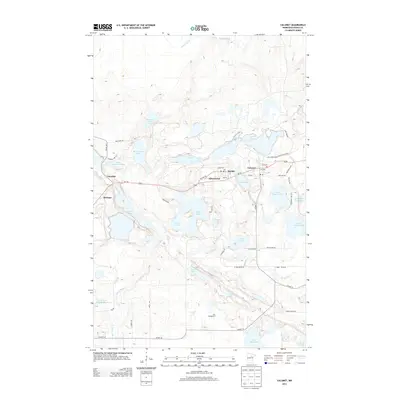
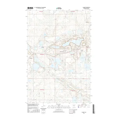
(10)- 2010 Map of Calumet, 2010 Print
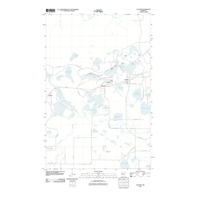 2010 Calumet2010 Print · USGSCovers Taconite, including Nashwauk, Marble, and other nearby areas
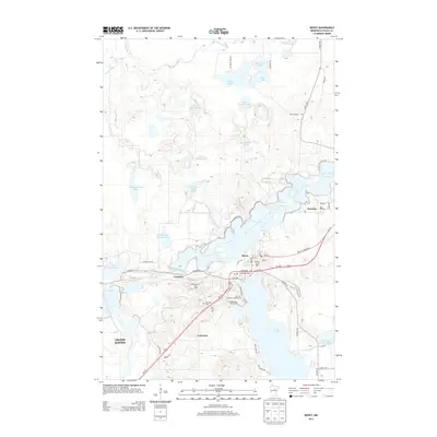
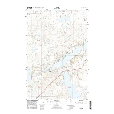
 - 2010 Map of Bovey, 2010 Print
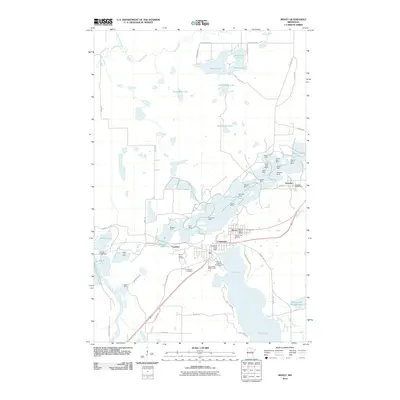 2010 Bovey2010 Print · USGSCovers Taconite, including Grand Rapids, Coleraine, and other nearby areas
 - 2013 Map of Calumet, 2013 Print
 2013 Calumet2013 Print · USGSCovers Taconite, including Nashwauk, Marble, and other nearby areas
 - 2013 Map of Bovey, 2013 Print
 2013 Bovey2013 Print · USGSCovers Taconite, including Grand Rapids, Coleraine, and other nearby areas
 - 2016 Map of Calumet, 2016 Print
 2016 Calumet2016 Print · USGSCovers Taconite, including Nashwauk, Marble, and other nearby areas
 - 2016 Map of Bovey, 2016 Print
 2016 Bovey2016 Print · USGSCovers Taconite, including Grand Rapids, Coleraine, and other nearby areas
 - 2019 Map of Calumet, 2019 Print
 2019 Calumet2019 Print · USGSCovers Taconite, including Nashwauk, Marble, and other nearby areas
 - 2019 Map of Bovey, 2019 Print
 2019 Bovey2019 Print · USGSCovers Taconite, including Grand Rapids, Coleraine, and other nearby areas
 - 2022 Map of Calumet, 2022 Print
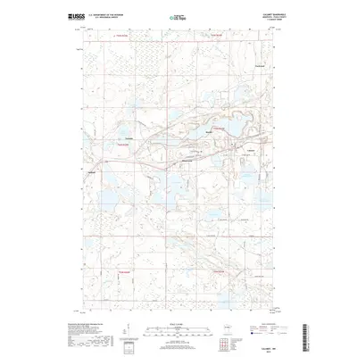
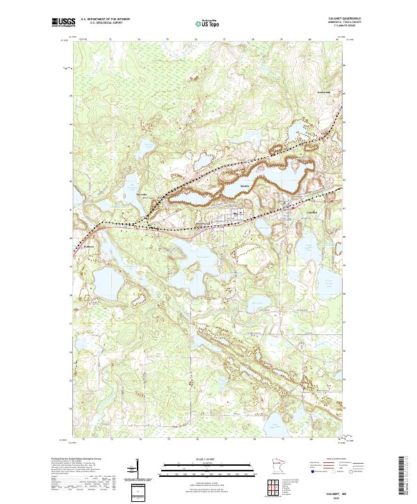 2022 Calumet2022 Print · USGSMining towns of the Mesabi Range are captured here during the early twenty-first century as they border the deep pits and ponds of the iron industry. Researchers can trace the residential layouts of Calumet, Marble, and Taconite alongside natural features like Big Diamond Lake and the Swan River.
 - 2022 Map of Bovey, 2022 Print
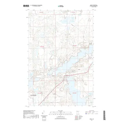
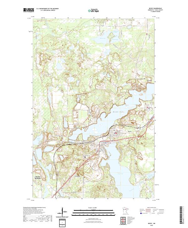 2022 Bovey2022 Print · USGSItasca County's iron-mining heartland is captured here in the early twenty-first century, showing the enduring layout of historic mining towns. Researchers can trace the streets of Bovey, Coleraine, and Taconite or find family plots at Lakeview Cem.
End of results
Showing maps 1-10 of 10
Top cities near Taconite
- Grand Rapids historical maps
- Cohasset historical maps
- Coleraine historical maps
- Nashwauk historical maps
- Blackberry historical maps
- Marble historical maps
See more
Top neighborhoods of Taconite
Frequently asked questions
- What are the different types of historical maps available for Taconite?
- What is the oldest map of Taconite?
- Where can I purchase historical maps of Taconite for my home or office?
- Where can I download high-res historical maps of Taconite?
- Are there historical topographic maps available for Taconite?
- Is there historical aerial imagery available for Taconite?
- Where are historical maps of Taconite sourced from?