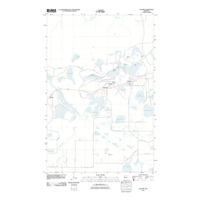
2010 Map of Calumet
USGS Topo · Published 2010About this map
Hill Annex Mine State Park dominates the landscape of this northern Minnesota survey, illustrating the deep history of iron mining in the Mesabi Range. The map details a complex network of active and former extraction sites, including the Arcturus Mine, Hill Trumbull Mine, and Majorca Mine. This industrial legacy is intertwined with the residential layout of Calumet and Marble, where central landmarks like the Calumet Post Office and Marble Post Office anchor the local communities.
Find a feature on this map
55 named features on this map. Tap any name to fly to it.
Don’t see what you’re looking for? This feature index may not catch every label — zoom into the map to look around manually.
Map Details
Editions of this 2010 Calumet Map
This is the sole edition of this map. No revisions or reprints were ever made.
Other maps of this area

1920 · Trout Lake
USGS Topo · 1:62,500

1952 · Nashwauk
USGS Topo · 1:24,000

1952 · Calumet
USGS Topo · 1:24,000

1952 · Pengilly
USGS Topo · 1:24,000

1952 · Bovey
USGS Topo · 1:24,000

1954 · Hibbing
USGS Topo · 1:250,000

1957 · Hibbing
USGS Topo · 1:250,000

1958 · Hibbing
USGS Topo · 1:250,000

1964 · Hibbing
USGS Topo · 1:250,000

1969 · La Prairie
USGS Topo · 1:24,000