
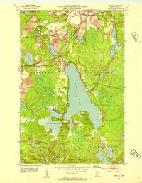
1952 Map of Pengilly
USGS Topo · Published 1954About this map
Industrial iron mining and vast glacial lakes define this 1952 landscape in the Mesabi Range. The northern portion of the map is dominated by the massive open-pit operations of the Halobe Mine, Hawkins Mine, and Patrick Mine, accompanied by extensive tailings ponds and protective levees. These industrial sites are flanked by the residential hubs of Nashwauk, Cooley, and Pengilly, where the Cooley Post Office served as a local anchor. The Duluth Missabe and Iron Range railroad snakes through the terrain, providing the essential transport link for the ore extracted from the earth.
Find a feature on this map
49 named features on this map. Tap any name to fly to it.
Don’t see what you’re looking for? This feature index may not catch every label — zoom into the map to look around manually.
Map Details
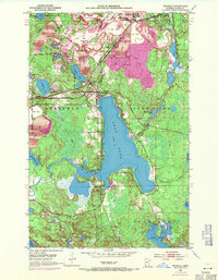
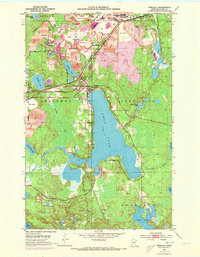
Editions of this 1952 Pengilly Map
4 editions found
Other maps of this area

1920 · Trout Lake
USGS Topo · 1:62,500

1952 · Keewatin
USGS Topo · 1:24,000

1952 · Nashwauk
USGS Topo · 1:24,000

1952 · Silica
USGS Topo · 1:24,000

1952 · Calumet
USGS Topo · 1:24,000

1954 · Hibbing
USGS Topo · 1:250,000

1957 · Hibbing
USGS Topo · 1:250,000

1958 · Hibbing
USGS Topo · 1:250,000

1964 · Hibbing
USGS Topo · 1:250,000
1969 · Floodwood Lake
USGS Topo · 1:24,000