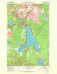
1952 Map of Pengilly
USGS Topo · Published 1973About this map
Iron ore extraction dominates the northern landscape of this survey, where a dense concentration of open pits and tailings ponds marks the Mesabi Range’s industrial footprint. Large-scale operations like the Patrick Mine, Hawkins Mine, and Snyder Mine are interconnected by the Burlington Northern and Duluth Missabe and Iron Range railroads, which weave through the corporate limits of Nashwauk and the Cooley Village Boundary. In contrast to the industrial north, the southern portion of the map transitions into the lakelands of Swan Lake and Hart Lake, revealing the natural hydrography of the Swan River watershed.
Find a feature on this map
46 named features on this map. Tap any name to fly to it.
Don’t see what you’re looking for? This feature index may not catch every label — zoom into the map to look around manually.
Map Details
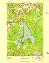
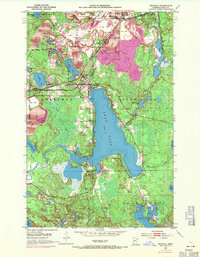
Editions of this 1952 Pengilly Map
4 editions found
Other maps of this area

1920 · Trout Lake
USGS Topo · 1:62,500

1952 · Keewatin
USGS Topo · 1:24,000

1952 · Nashwauk
USGS Topo · 1:24,000

1952 · Silica
USGS Topo · 1:24,000

1952 · Calumet
USGS Topo · 1:24,000

1952 · Pengilly
USGS Topo · 1:24,000

1954 · Hibbing
USGS Topo · 1:250,000

1957 · Hibbing
USGS Topo · 1:250,000

1958 · Hibbing
USGS Topo · 1:250,000

1964 · Hibbing
USGS Topo · 1:250,000