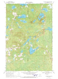
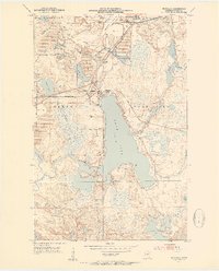
1969 Map of Floodwood Lake
USGS Topo · Published 1972About this map
The glacial waters and dense Swamp of northern Minnesota dominate this landscape along the border of Itasca and St. Louis counties. The map provides a detailed view of the Floodwood Lake basin and the winding path of the Floodwood River as it flows south through Cedar Valley. Significant lake systems including Beauty Lake, Mary Lake, and the island-dotted Island Lake are mapped with precise depth curves provided by the Minnesota Department of Conservation.
Find a feature on this map
28 named features on this map. Tap any name to fly to it.
Don’t see what you’re looking for? This feature index may not catch every label — zoom into the map to look around manually.
Map Details
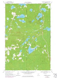
Editions of this 1969 Floodwood Lake Map
2 editions found
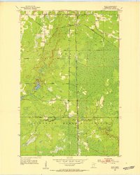
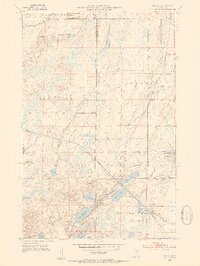
Other maps of this area
1952 · Riley
USGS Topo · 1:24,000
1952 · Silica
USGS Topo · 1:24,000
1952 · Pengilly
USGS Topo · 1:24,000

1954 · Hibbing
USGS Topo · 1:250,000

1957 · Hibbing
USGS Topo · 1:250,000

1958 · Hibbing
USGS Topo · 1:250,000
1963 · Toivola SW
USGS Topo · 1:24,000
1963 · Upstead Lake
USGS Topo · 1:24,000

1964 · Hibbing
USGS Topo · 1:250,000
1969 · Wawina
USGS Topo · 1:24,000