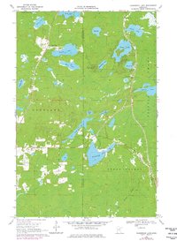
1969 Map of Floodwood Lake
USGS Topo · Published 1977About this map
Floodwood Lake and the winding Floodwood River anchor this late-1960s landscape on the boundary of Itasca and St. Louis Counties. The terrain is characterized by a dense network of water bodies, including Island Lake, Beauty Lake, and Mary Lake, interspersed with extensive wetlands and low-lying areas labeled simply as Swamp. Human activity is concentrated along the section lines and township boundaries of Goodland, Toivola, and Cedar Valley, where small-scale infrastructure like the Gospel Ranch Landing Strip and a Lookout Tower Radio Tower serve the northern woods.
Find a feature on this map
28 named features on this map. Tap any name to fly to it.
Don’t see what you’re looking for? This feature index may not catch every label — zoom into the map to look around manually.
Map Details
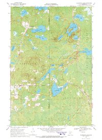
Editions of this 1969 Floodwood Lake Map
2 editions found
Other maps of this area

1952 · Riley
USGS Topo · 1:24,000

1952 · Silica
USGS Topo · 1:24,000

1952 · Pengilly
USGS Topo · 1:24,000

1954 · Hibbing
USGS Topo · 1:250,000

1957 · Hibbing
USGS Topo · 1:250,000

1958 · Hibbing
USGS Topo · 1:250,000

1963 · Toivola SW
USGS Topo · 1:24,000

1963 · Upstead Lake
USGS Topo · 1:24,000

1964 · Hibbing
USGS Topo · 1:250,000

1969 · Wawina
USGS Topo · 1:24,000