2020s Maps of Kittson County, Minnesota
Explore 40 historic maps of Kittson County from the 2020s. These maps offer a rare glimpse into what life looked like during the 2020s — showing old roads, neighborhoods, homes, and landmarks that have changed or disappeared over time.
Whether you're researching your family's past, planning a metal detecting trip, or studying how Kittson County's landscape evolved across the 2020s, these high-resolution maps are a powerful tool for exploring the history of this region.
- Focus on a specific era: All maps on this page are from the 2020s, giving you a focused view of this time period.
- See what’s changed: Compare century-old streets, trails, and buildings to today's modern landscape using overlays and satellite layers.
- Research with precision: Use these maps for genealogy, historical research, land use analysis, or educational projects.
- View, download, or print: Maps are fully viewable online in high resolution, and can be downloaded or printed for your own records.
Start exploring Kittson County's history through authentic maps from the 2020s. This is your window into the past.
Kittson County, MN maps
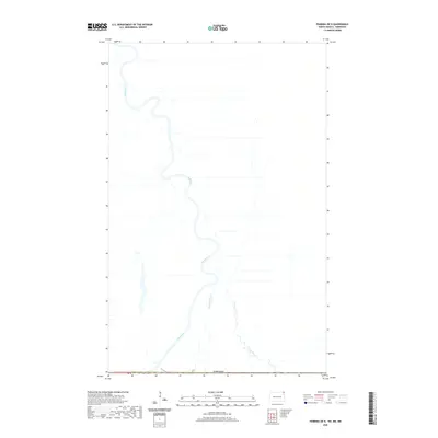
(40)- 2020 Map of Pembina, 2020 Print
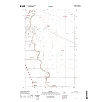 2020 Pembina2020 Print · USGSCovers Kittson County, including Pembina, McArthur, and other nearby areas
 - 2020 Map of Bowesmont, 2020 Print
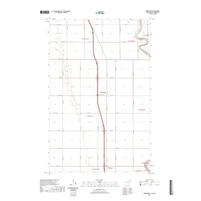 2020 Bowesmont2020 Print · USGSCovers Kittson County, including Bowesmont, Pembina County, and other nearby areas
 - 2020 Map of Joliette, 2020 Print
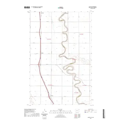 2020 Joliette2020 Print · USGSCovers Kittson County, including Joliette, Fleece, and other nearby areas
 - 2020 Map of Drayton, 2020 Print
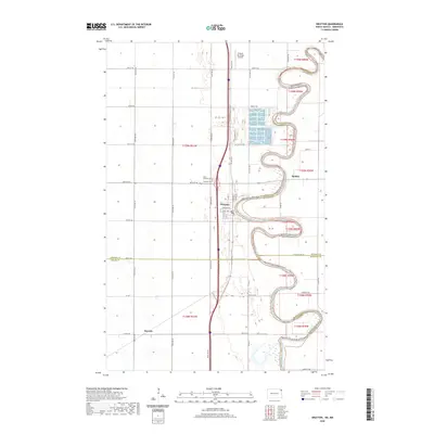 2020 Drayton2020 Print · USGSCovers Kittson County, including Drayton, Robbin, and other nearby areas
 - 2020 Map of Pembina OE N, 2020 Print
 2020 Pembina OE N2020 Print · USGSCovers Kittson County, including Emerson, Municipality of Emerson – Franklin, and other nearby areas
 - 2022 Map of Hallock NE OE N, 2022 Print
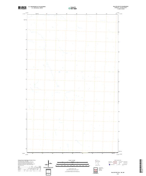 2022 Hallock NE OE N2022 Print · USGSCovers Kittson County, including Tolstoi, Rural Municipality of Stuartburn, and other nearby areas
 - 2022 Map of Humboldt, 2022 Print
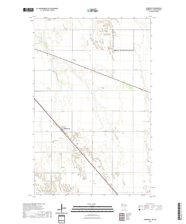 2022 Humboldt2022 Print · USGSNorthwest Minnesota's borderlands are captured here in the early twenty-first century, showing a landscape shaped by vast township grids and the Joe River. Genealogists and local historians can trace the settlement of Humboldt and the nearby Humboldt Cem.
 - 2022 Map of Orleans OE N, 2022 Print
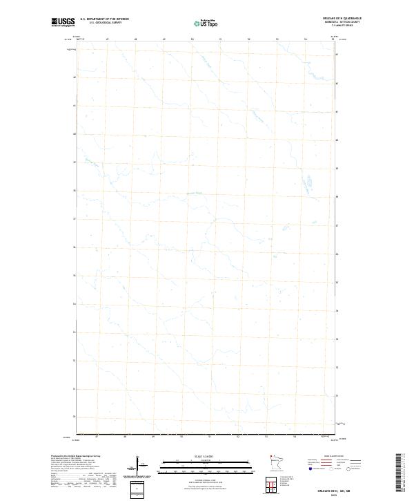 2022 Orleans OE N2022 Print · USGSMinnesota's northern borderlands in the early twenty-first century reveal a landscape dominated by agricultural engineering. Researchers can trace the path of essential water management features like Harlow Drain and Casson Drain across this Kittson County terrain.
 - 2022 Map of Mattson, 2022 Print
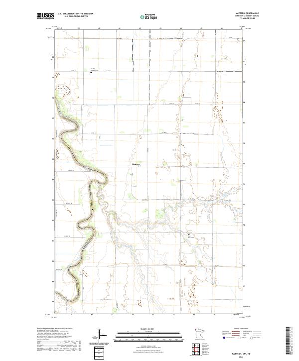 2022 Mattson2022 Print · USGSKittson County at the Minnesota-North Dakota border is defined by the winding course of the river. Genealogists can trace family sites at Tabitha Lutheran Cem and Red River Cem near the rural settlement of Mattson.
 - 2022 Map of Skull Lake OE N, 2022 Print
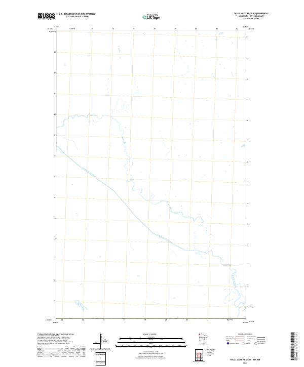
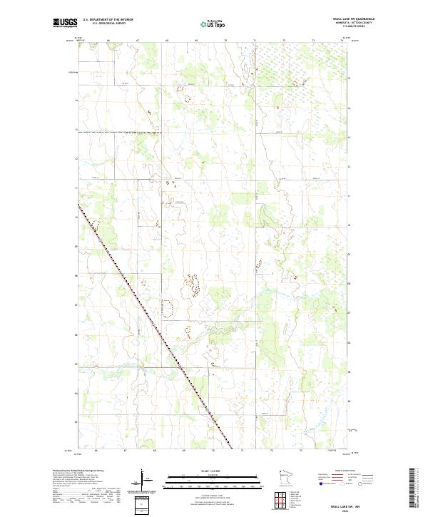
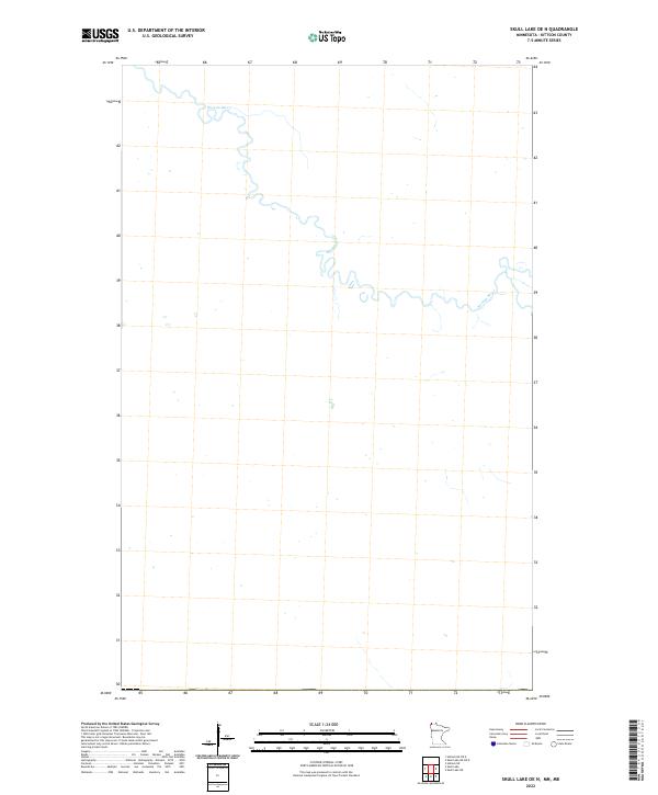 2022 Skull Lake OE N2022 Print · USGSNorthwestern Minnesota's borderlands are defined by the winding Roseau River in this 2022 survey of Kittson County. Researchers can trace the modern course of the Roseau River through this minimally developed landscape.
 - 2022 Map of Caribou OE N, 2022 Print
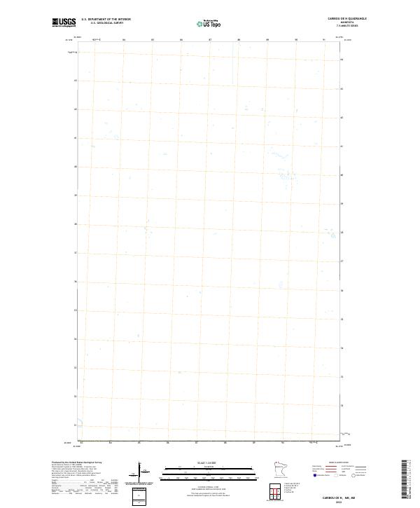 2022 Caribou OE N2022 Print · USGSCovers Kittson County, including Roseau County, Rural Municipality of Stuartburn, and other nearby areas
 - 2022 Map of Hill Siding, 2022 Print
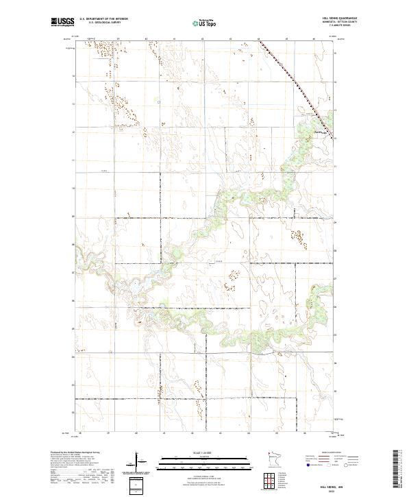 2022 Hill Siding2022 Print · USGSThis Kittson County landscape is captured in the early 2020s, showcasing the rural character and river networks of far northern Minnesota. Researchers can trace the path of the N Br Two Rivers and the settlement at Northcote along the township grid.
 - 2022 Map of Skull Lake NE OE N, 2022 Print
 2022 Skull Lake NE OE N2022 Print · USGSNorthwestern Minnesota's hydrological landscape is captured in this recent survey of Kittson County near the border. Researchers can trace the engineering of the Gardenton Floodway and the natural path of the Roseau River through this isolated terrain.
 - 2022 Map of Kennedy SE, 2022 Print
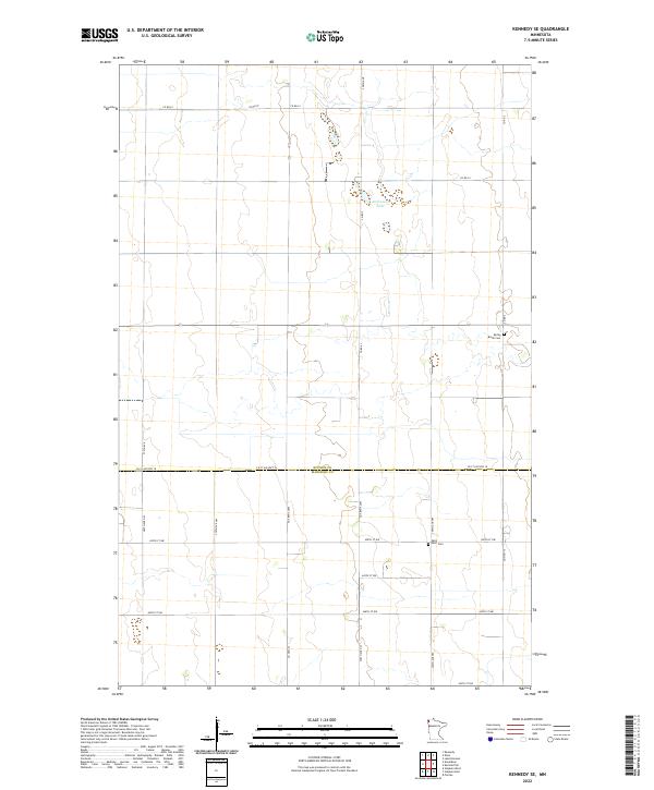 2022 Kennedy SE2022 Print · USGSKittson and Marshall counties are shown in this recent survey of the Minnesota prairie, documenting the rural landscape south of Kennedy. Genealogists can locate family burial sites at Spring Brook Cem and Saint Petri Cem or trace property near Andreason Lake.
 - 2022 Map of Hallock NE, 2022 Print
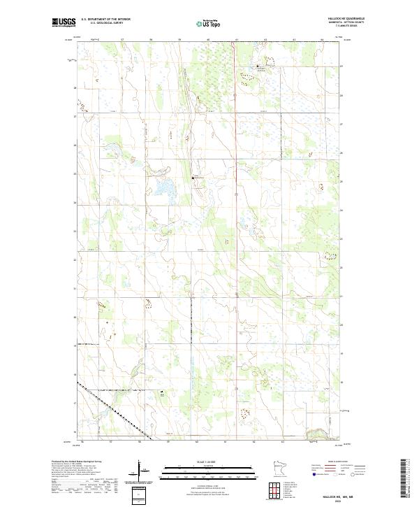 2022 Hallock NE2022 Print · USGSKittson County's northern agricultural landscape is meticulously detailed here in the early twenty-first century. Researchers can locate specific family landmarks and parish sites including the Tom Lako Farm Cem and Holy Rosary Cem along the local road grid.
 - 2022 Map of Skull Lake NE, 2022 Print
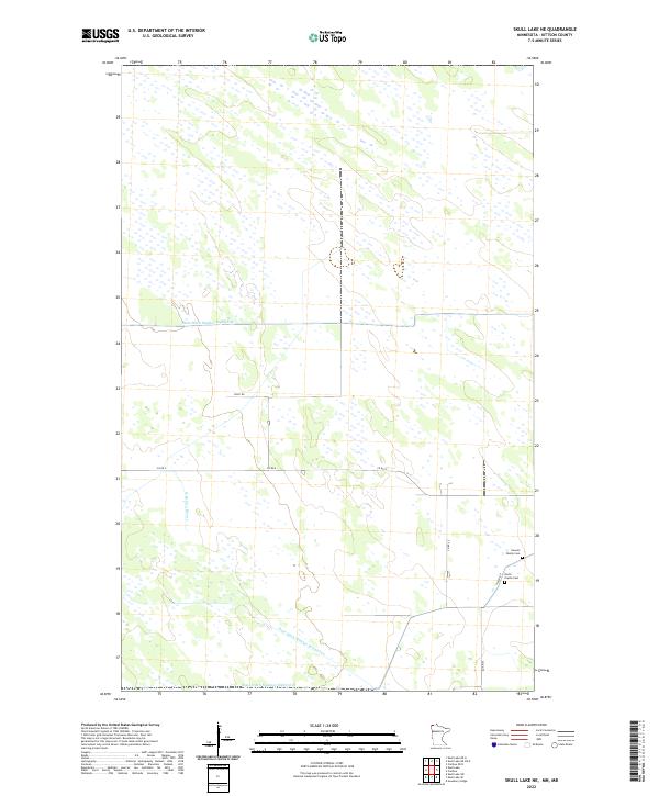 2022 Skull Lake NE2022 Print · USGSKittson County, Minnesota, is shown in this contemporary study of its rural drainage networks and early family burial sites. Genealogists can locate the Hewett Family Cem and North Prairie Cem near the managed waters of N Br Two Rivers.
 - 2022 Map of Kennedy, 2022 Print
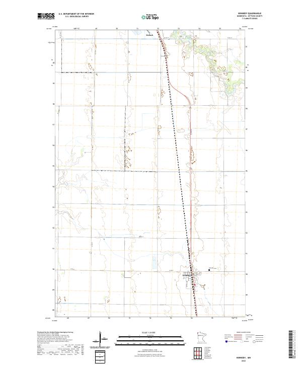 2022 Kennedy2022 Print · USGSThe northern Red River Valley reaches across Kittson County in this contemporary survey of the Minnesota prairie. Researchers can trace the layout of Kennedy, including the Kennedy Cem and primary thoroughfares like Atlantic Ave and Kittson Ave.
 - 2022 Map of Pelan, 2022 Print
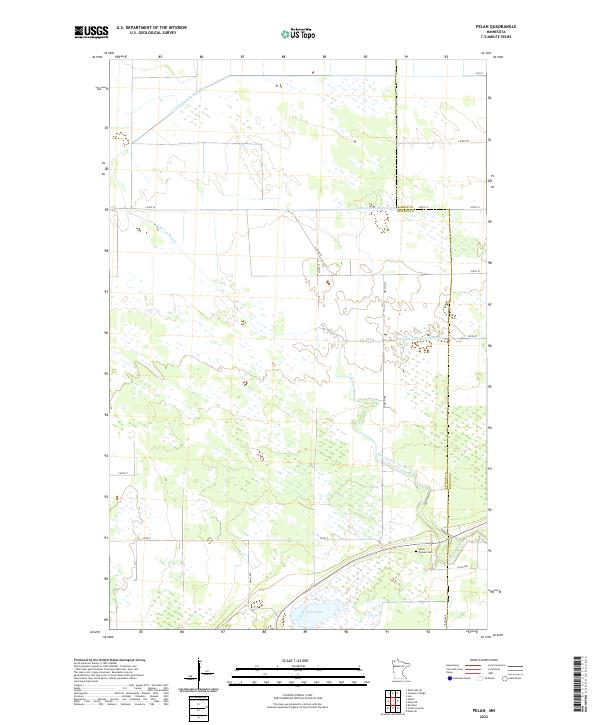 2022 Pelan2022 Print · USGSNorthwest Minnesota's transition from wetlands to farmland is visible here at the border of Kittson and Roseau counties. Genealogists can locate Pelan Pioneer Cemetery while researchers trace the engineered path of State Ditch Number Ninetyfive and Twin Lakes.
 - 2022 Map of Skull Lake SW, 2022 Print
 2022 Skull Lake SW2022 Print · USGSThe northwestern Minnesota prairie of Kittson County is captured here in the early twenty-first century, showing a landscape shaped by drainage and agriculture. Researchers can trace water management and rural routes like State Ditch Number Forty-eight, Middle Br Two Rivers, and Co Rd 15.
 - 2022 Map of Juneberry Ridge, 2022 Print
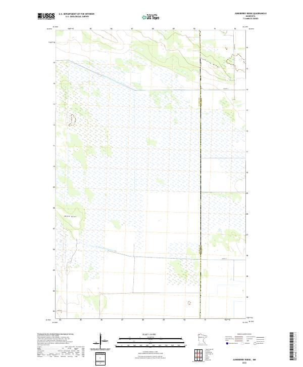 2022 Juneberry Ridge2022 Print · USGSAlong the border of Kittson and Roseau counties in the 2020s, this landscape shows the intersection of natural terrain and massive drainage projects. Researchers can trace the paths of State Ditch Number Seventy-two and State Ditch Number Fifty past landmarks like Moose Point.
 - 2022 Map of Twistal Swamp, 2022 Print
 2022 Twistal Swamp2022 Print · USGSNorthwestern Minnesota's drainage and settlement patterns are preserved here as they appeared in the 2020s. Researchers can locate Zion Cem and trace the engineered courses of State Ditch Number Ninety and the Tamarac River.
 - 2022 Map of Lake Bronson, 2022 Print
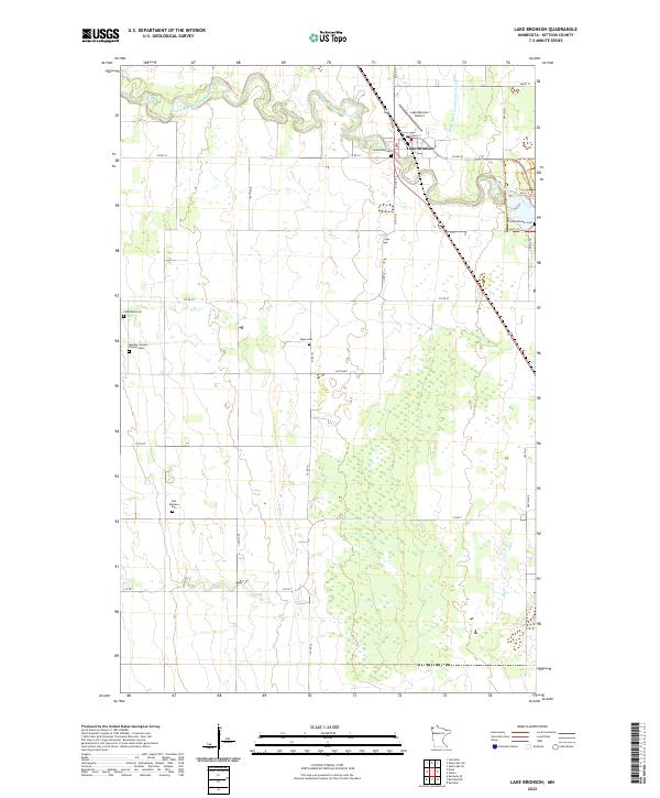 2022 Lake Bronson2022 Print · USGSLake Bronson and the surrounding Kittson County prairie are mapped here in the early 2020s, showing a landscape defined by meandering rivers and managed drainage. Genealogists can trace family heritage at the Mandie Johnson Farm Burials, Johansson Cem, and Bronson Pioneer Cem.
 - 2022 Map of Karlstad SW, 2022 Print
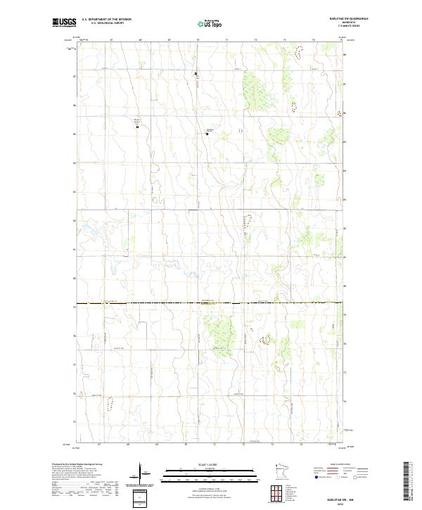 2022 Karlstad SW2022 Print · USGSIn the early twenty-first century, this Kittson County landscape shows a highly organized network of township roads and family-linked burial grounds. Genealogists can locate specific sites such as the Edward Johnson Cemetery, Oslo Cemetery, and Pederson Burials.
 - 2022 Map of Lancaster, 2022 Print
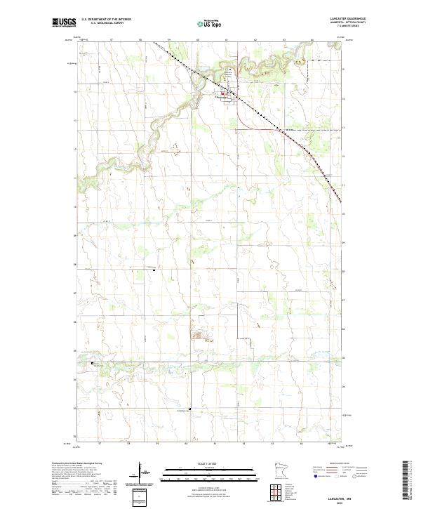 2022 Lancaster2022 Print · USGSLancaster and the surrounding Kittson County prairie are captured here in the early twenty-first century as an enduring agricultural landscape. Family researchers can identify specific burial sites such as Union Liberty Cem and Bethlehem Cem along the Middle Br Two Rivers.
 - 2022 Map of Caribou, 2022 Print
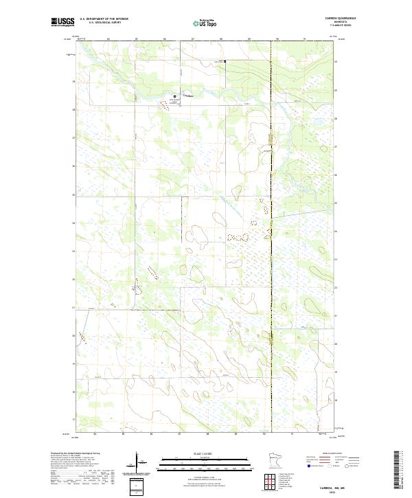 2022 Caribou2022 Print · USGSThe northern borderlands of Kittson County come into focus in the early 2020s, showing a landscape of managed wetlands and prairie settlements. Genealogists can locate Saint Michaels Greek Orthodox Cem and Saint John's Cem near the quiet community of Caribou.
Showing maps 1-25 of 40
Top cities of Kittson County
- Hallock historical maps
- Karlstad historical maps
- Lancaster historical maps
- Kennedy historical maps
- Lake Bronson historical maps
- Deerwood historical maps
See more
Frequently asked questions
- What are the different types of historical maps available for Kittson County?
- What is the oldest map of Kittson County?
- Where can I purchase historical maps of Kittson County for my home or office?
- Where can I download high-res historical maps of Kittson County?
- Are there historical topographic maps available for Kittson County?
- Is there historical aerial imagery available for Kittson County?
- Where are historical maps of Kittson County sourced from?