2000s (21st Century) Maps of International Falls, Minnesota
Explore 10 historic maps of International Falls from the 2000s (21st Century). These maps offer a rare glimpse into what life looked like during the 2000s — showing old roads, neighborhoods, homes, and landmarks that have changed or disappeared over time.
Whether you're researching your family's past, planning a metal detecting trip, or studying how International Falls's landscape evolved across the 2000s, these high-resolution maps are a powerful tool for exploring the history of this region.
- Focus on a specific era: All maps on this page are from the 2000s, giving you a focused view of this time period.
- See what’s changed: Compare century-old streets, trails, and buildings to today's modern landscape using overlays and satellite layers.
- Research with precision: Use these maps for genealogy, historical research, land use analysis, or educational projects.
- View, download, or print: Maps are fully viewable online in high resolution, and can be downloaded or printed for your own records.
Start exploring International Falls's history through authentic maps from the 2000s. This is your window into the past.
International Falls, MN maps
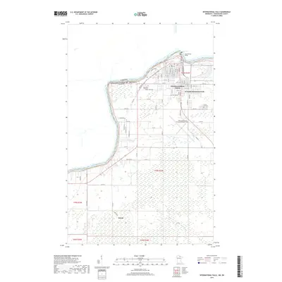
(10)- 2010 Map of International Falls, 2010 Print
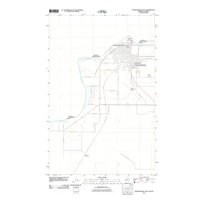 2010 International Falls2010 Print · USGSCovers International Falls, including Fort Frances, Alberton Township, and other nearby areas
 - 2010 Map of Ranier, 2010 Print
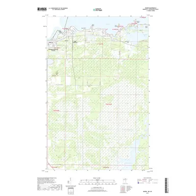
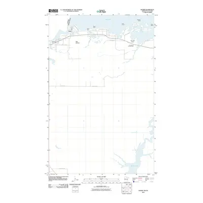 2010 Ranier2010 Print · USGSCovers International Falls, including Fort Frances, Ranier, and other nearby areas
 - 2013 Map of Ranier, 2013 Print
 2013 Ranier2013 Print · USGSCovers International Falls, including Fort Frances, Ranier, and other nearby areas
 - 2013 Map of International Falls, 2013 Print
 2013 International Falls2013 Print · USGSCovers International Falls, including Fort Frances, Alberton Township, and other nearby areas
 - 2016 Map of International Falls, 2016 Print
 2016 International Falls2016 Print · USGSCovers International Falls, including Fort Frances, Alberton Township, and other nearby areas
 - 2016 Map of Ranier, 2016 Print
 2016 Ranier2016 Print · USGSCovers International Falls, including Fort Frances, Ranier, and other nearby areas
 - 2019 Map of International Falls, 2019 Print
 2019 International Falls2019 Print · USGSCovers International Falls, including Fort Frances, Alberton Township, and other nearby areas
 - 2019 Map of Ranier, 2019 Print
 2019 Ranier2019 Print · USGSCovers International Falls, including Fort Frances, Ranier, and other nearby areas
 - 2022 Map of International Falls, 2022 Print
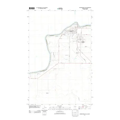
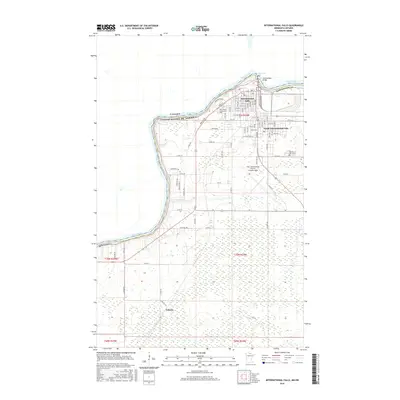
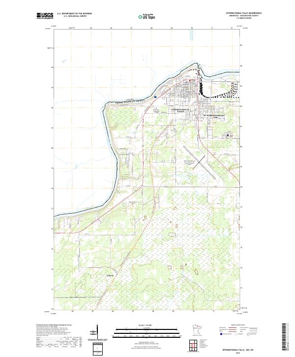 2022 International Falls2022 Print · USGSThe northern border of Minnesota at the Rainy River is captured here in the early twenty-first century, showing the gateway between the United States and Canada. Local history researchers can trace the developed grid of International Falls, locate the Koochiching County Courthouse, and follow the Blue Ox State Trail south toward Nakoda.
 - 2022 Map of Ranier, 2022 Print
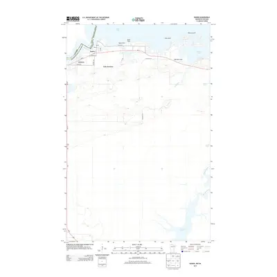
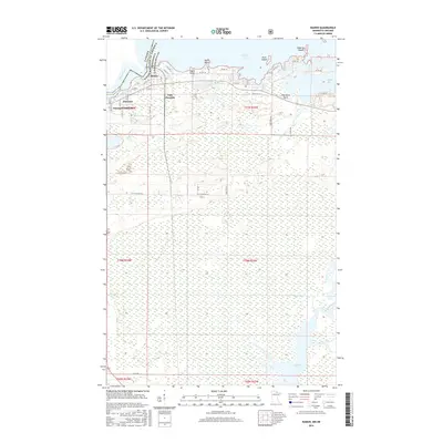
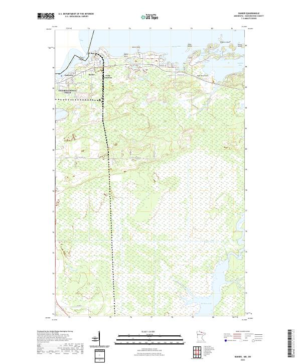 2022 Ranier2022 Print · USGSRanier and the international boundary waters are captured in this modern survey of the Minnesota-Ontario border. Researchers can trace the waterfront settlements of Jameson and Ranier, or explore the wetland geography of Rat Root Lake and Jackfish Bay.
End of results
Showing maps 1-10 of 10
Top cities near International Falls
Top neighborhoods of International Falls
Frequently asked questions
- What are the different types of historical maps available for International Falls?
- What is the oldest map of International Falls?
- Where can I purchase historical maps of International Falls for my home or office?
- Where can I download high-res historical maps of International Falls?
- Are there historical topographic maps available for International Falls?
- Is there historical aerial imagery available for International Falls?
- Where are historical maps of International Falls sourced from?