2000s (21st Century) Maps of Tyler, Minnesota
Explore 10 historic maps of Tyler from the 2000s (21st Century). These maps offer a rare glimpse into what life looked like during the 2000s — showing old roads, neighborhoods, homes, and landmarks that have changed or disappeared over time.
Whether you're researching your family's past, planning a metal detecting trip, or studying how Tyler's landscape evolved across the 2000s, these high-resolution maps are a powerful tool for exploring the history of this region.
- Focus on a specific era: All maps on this page are from the 2000s, giving you a focused view of this time period.
- See what’s changed: Compare century-old streets, trails, and buildings to today's modern landscape using overlays and satellite layers.
- Research with precision: Use these maps for genealogy, historical research, land use analysis, or educational projects.
- View, download, or print: Maps are fully viewable online in high resolution, and can be downloaded or printed for your own records.
Start exploring Tyler's history through authentic maps from the 2000s. This is your window into the past.
Tyler, MN maps
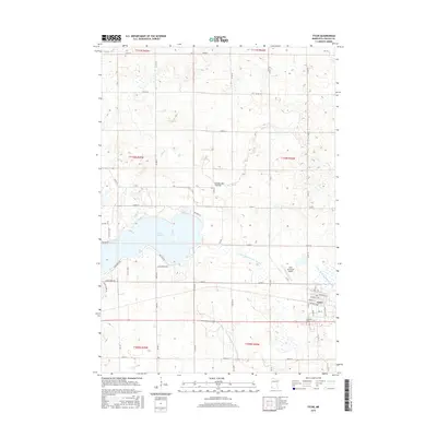
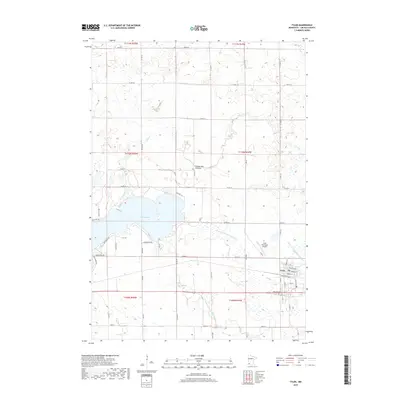
(10)- 2010 Map of Tyler, 2010 Print
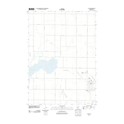 2010 Tyler2010 Print · USGSCovers Tyler, including Lincoln County, United States, and other nearby areas
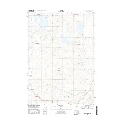
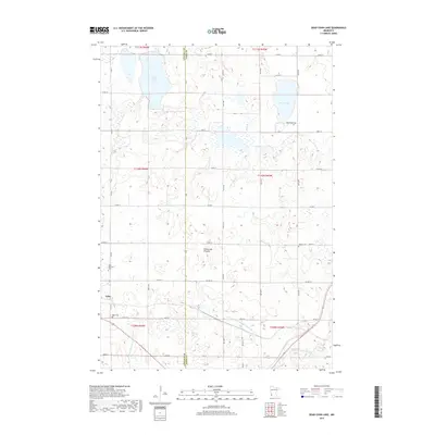
 - 2010 Map of Dead Coon Lake, 2010 Print
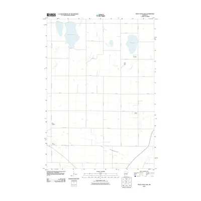 2010 Dead Coon Lake2010 Print · USGSCovers Tyler, including Lyon County, Lincoln County, and other nearby areas
 - 2013 Map of Tyler, 2013 Print
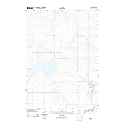 2013 Tyler2013 Print · USGSCovers Tyler, including Lincoln County, United States, and other nearby areas
 - 2013 Map of Dead Coon Lake, 2013 Print
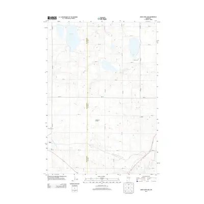 2013 Dead Coon Lake2013 Print · USGSCovers Tyler, including Lyon County, Lincoln County, and other nearby areas
 - 2016 Map of Tyler, 2016 Print
 2016 Tyler2016 Print · USGSCovers Tyler, including Lincoln County, United States, and other nearby areas
 - 2016 Map of Dead Coon Lake, 2016 Print
 2016 Dead Coon Lake2016 Print · USGSCovers Tyler, including Lyon County, Lincoln County, and other nearby areas
 - 2019 Map of Dead Coon Lake, 2019 Print
 2019 Dead Coon Lake2019 Print · USGSCovers Tyler, including Lyon County, Lincoln County, and other nearby areas
 - 2019 Map of Tyler, 2019 Print
 2019 Tyler2019 Print · USGSCovers Tyler, including Lincoln County, United States, and other nearby areas
 - 2022 Map of Tyler, 2022 Print
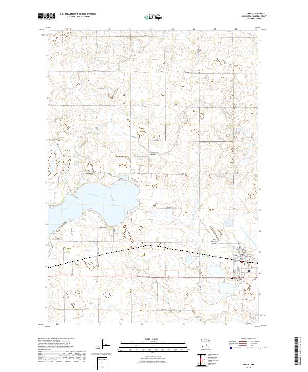 2022 Tyler2022 Print · USGSThe eastern shores of Lake Benton and the high plateau of the Coteau des Prairies characterize this modern look at Lincoln County. Genealogists and historians can locate the Danebod Cem and trace the street grid of Tyler near the headwaters of Coon Creek.
 - 2022 Map of Dead Coon Lake, 2022 Print
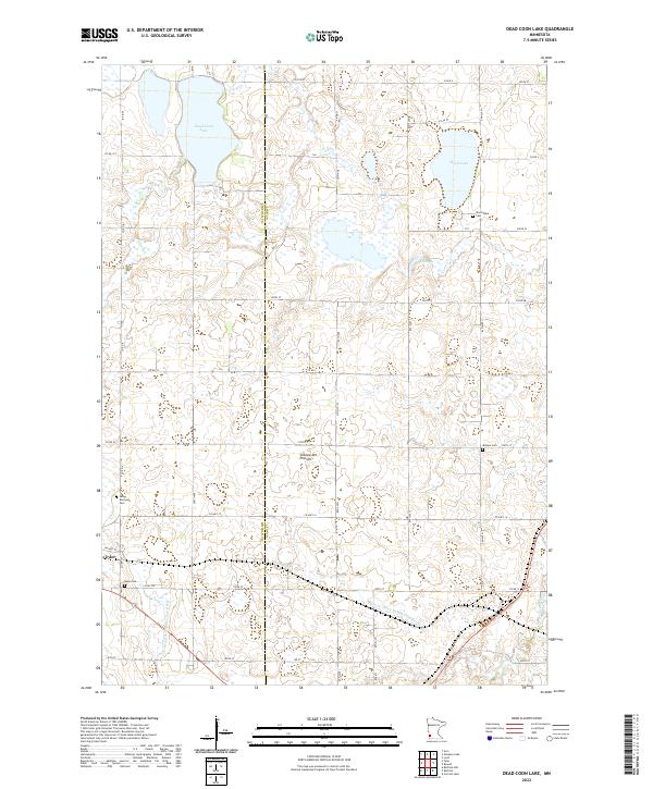 2022 Dead Coon Lake2022 Print · USGSIn the southwestern Minnesota prairie, this 2022 survey shows the managed landscape of Lincoln and Lyon counties. Genealogists can locate family landmarks at Saint Dionysius Cem and Hope Cem, or trace the waters of Dead Coon Lake.
End of results
Showing maps 1-10 of 10
Top cities near Tyler
- Lake Benton historical maps
- Ivanhoe historical maps
- Russell historical maps
- Ruthton historical maps
- Verdi historical maps
- Holland historical maps
See more
Frequently asked questions
- What are the different types of historical maps available for Tyler?
- What is the oldest map of Tyler?
- Where can I purchase historical maps of Tyler for my home or office?
- Where can I download high-res historical maps of Tyler?
- Are there historical topographic maps available for Tyler?
- Is there historical aerial imagery available for Tyler?
- Where are historical maps of Tyler sourced from?