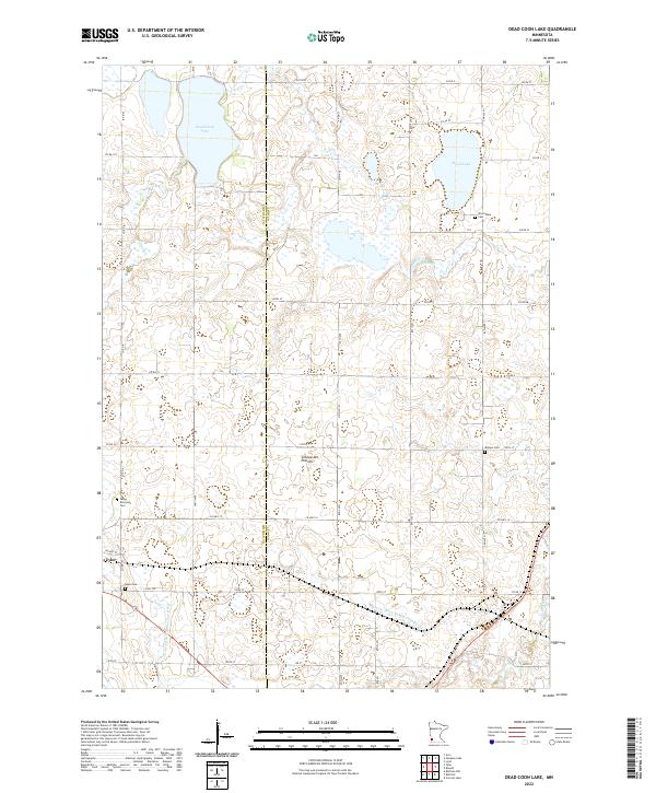
2022 Map of Dead Coon Lake
USGS Topo · Published 2022About this map
Coteau des Prairies, a prominent upland plateau, dominates this southwestern Minnesota landscape along the border of Lincoln and Lyon counties. The elevation changes here influence the drainage patterns of the Redwood River and several artificial waterways, including Judicial Ditch Number Thirtyone and County Ditch Number Fourteen, which illustrate the region's managed agricultural hydrology. These systems support the surrounding prairie lands where small, scattered bodies of water like Dead Coon Lake and Wood Lake remain central features.
Find a feature on this map
38 named features on this map. Tap any name to fly to it.
Don’t see what you’re looking for? This feature index may not catch every label — zoom into the map to look around manually.
Map Details
Editions of this 2022 Dead Coon Lake Map
This is the sole edition of this map. No revisions or reprints were ever made.
Historical Maps of Tyler Through Time
12 maps found
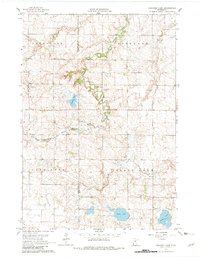
1962 Amiret
Lyon County, MN
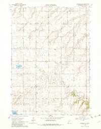
1962 Dudley
Lyon County, MN
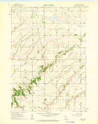
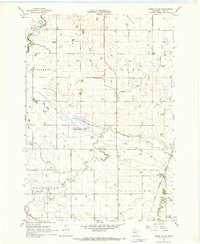
1963 Dead Coon Lake
Lyon County, MN
1963 Gislason Lake
Lyon County, MN
1963 Marshall SE
Lyon County, MN
1967 Green Valley
Lyon County, MN
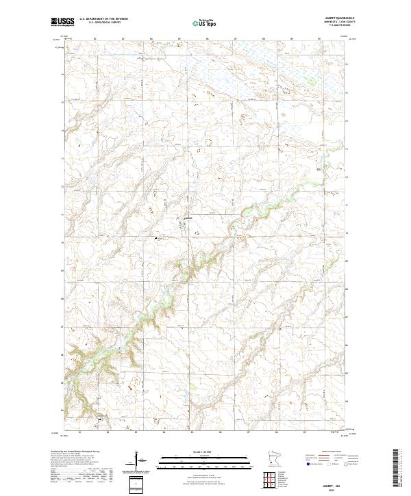
2022 Amiret
Lyon County, MN
2022 Dead Coon Lake
Lyon County, MN
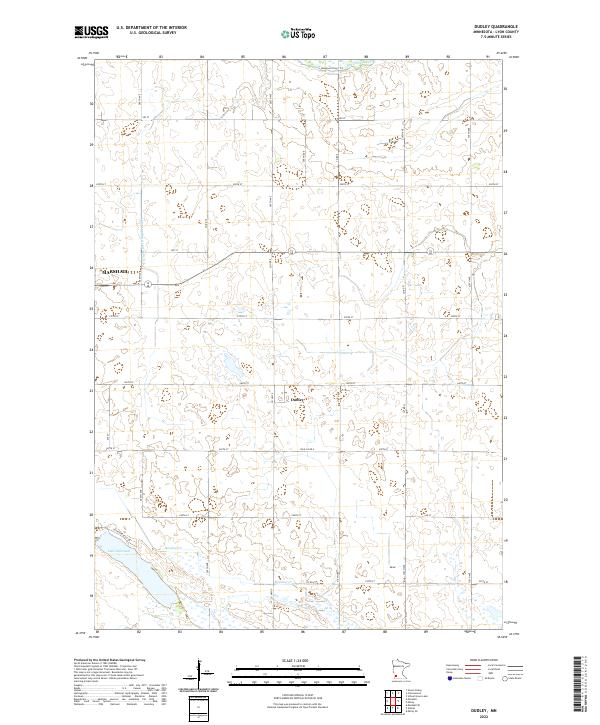
2022 Dudley
Lyon County, MN
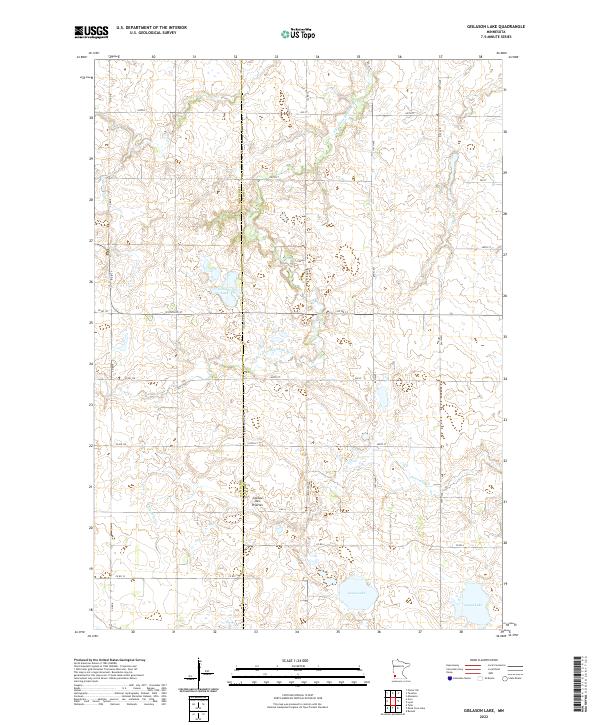
2022 Gislason Lake
Lyon County, MN
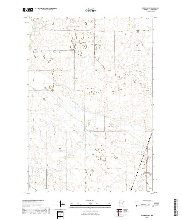
2022 Green Valley
Lyon County, MN
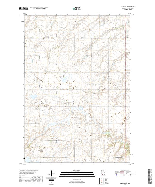
2022 Marshall SE
Lyon County, MN