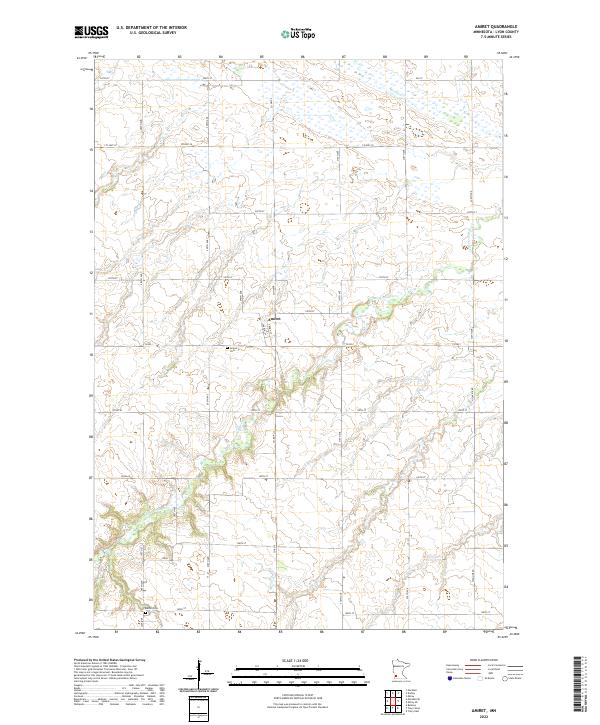
2022 Map of Amiret
USGS Topo · Published 2022About this map
The Cottonwood River carves a winding path across this Lyon County landscape, creating a distinct topographical break from the surrounding agricultural grid. The small settlement of Amiret serves as a local focal point, organized around street names like Church St and Front St. This contemporary survey reflects the enduring rural character of the region, where land use remains strictly tied to the Public Land Survey System sections. Local history and genealogy are anchored by two primary burial sites: the Amiret Cem located just south of the town site and the Bethel Cem situated further south near the border of T109N R41W. Aside from the river valley and the small drainage of Meadow Cr, the map is dominated by a dense network of numbered section roads, including Highline Rd and 220th St, which define the modern farming economy of the area.
Find a feature on this map
38 named features on this map. Tap any name to fly to it.
Don’t see what you’re looking for? This feature index may not catch every label — zoom into the map to look around manually.
Map Details
Editions of this 2022 Amiret Map
This is the sole edition of this map. No revisions or reprints were ever made.
Other maps of this area

1953 · New Ulm
USGS Topo · 1:250,000

1957 · New Ulm
USGS Topo · 1:250,000

1958 · New Ulm
USGS Topo · 1:250,000

1962 · Dudley
USGS Topo · 1:24,000

1962 · Milroy SE
USGS Topo · 1:24,000

1962 · Amiret
USGS Topo · 1:24,000

1962 · Milroy
USGS Topo · 1:24,000

1963 · Marshall SE
USGS Topo · 1:24,000

1963 · Marshall
USGS Topo · 1:24,000

1967 · New Ulm
USGS Topo · 1:250,000