2022 Map of Tyler
USGS Topo · Published 2022About this map
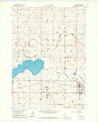
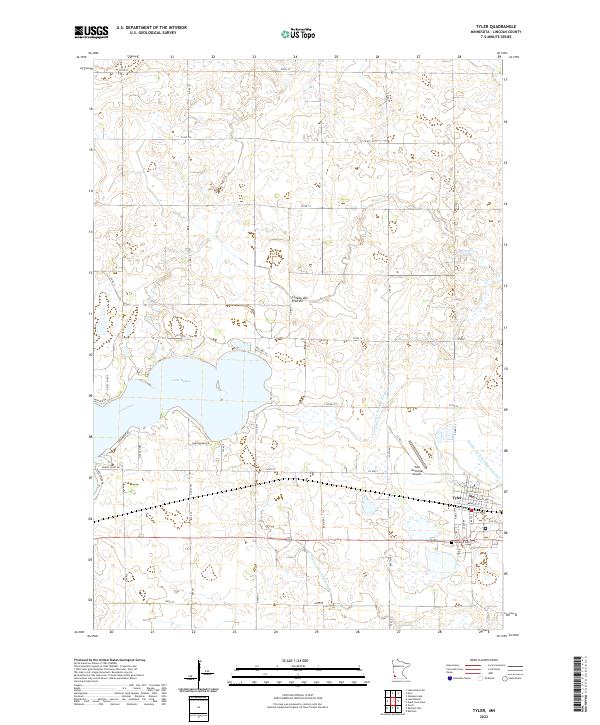
The dramatic ridge of the Coteau des Prairies defines the landscape of this southwestern Minnesota quadrangle, where the eastern waters of Lake Benton dominate the terrain. This high glacial plateau is marked by a complex network of agricultural drainage, including County Ditch Number Fourteen and County Ditch Number Fifteen, which manage the flow across the productive prairie soils. The town of Tyler serves as the primary hub, situated near the southeastern edge of the sheet. Local landmarks such as the Danebod Cem and the Tyler Municipal Airport are clearly delineated, providing essential points of reference for genealogists and local historians. Residential development is clustered along the lakefront, with named roads like Shady Shore Dr and Lemon Point Rd tracing the irregular shoreline of Lake Benton.
Find a feature on this map
51 named features on this map. Tap any name to fly to it.
Don’t see what you’re looking for? This feature index may not catch every label — zoom into the map to look around manually.
Map Details
Editions of this 2022 Tyler Map
This is the sole edition of this map. No revisions or reprints were ever made.