2020s Maps of Morrison County, Minnesota
Explore 36 historic maps of Morrison County from the 2020s. These maps offer a rare glimpse into what life looked like during the 2020s — showing old roads, neighborhoods, homes, and landmarks that have changed or disappeared over time.
Whether you're researching your family's past, planning a metal detecting trip, or studying how Morrison County's landscape evolved across the 2020s, these high-resolution maps are a powerful tool for exploring the history of this region.
- Focus on a specific era: All maps on this page are from the 2020s, giving you a focused view of this time period.
- See what’s changed: Compare century-old streets, trails, and buildings to today's modern landscape using overlays and satellite layers.
- Research with precision: Use these maps for genealogy, historical research, land use analysis, or educational projects.
- View, download, or print: Maps are fully viewable online in high resolution, and can be downloaded or printed for your own records.
Start exploring Morrison County's history through authentic maps from the 2020s. This is your window into the past.
Morrison County, MN maps
(36)- 2022 Map of Rum River, 2022 Print
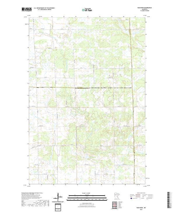 2022 Rum River2022 Print · USGSBenton and Morrison counties are documented here in the early twenty-first century, showing a landscape defined by water and wetlands. Researchers can trace the winding paths of the W Br Rum River and Saint Francis River alongside rural routes like Nature Rd.
 - 2022 Map of Ramey NW, 2022 Print
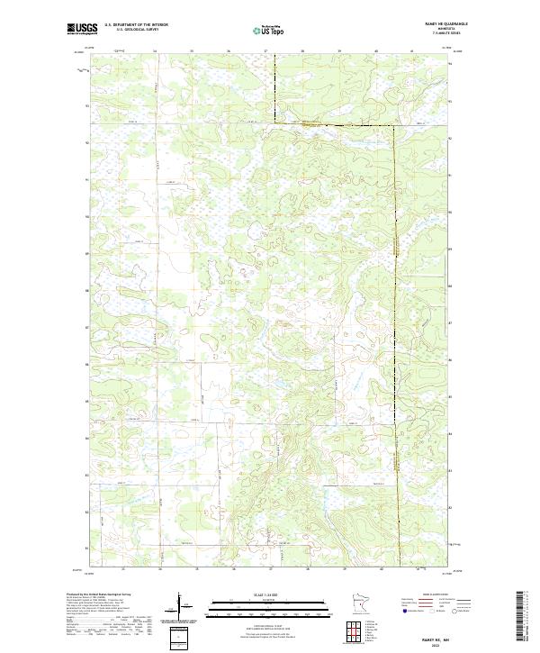
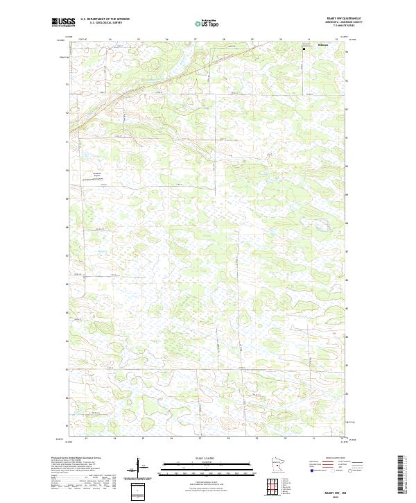 2022 Ramey NW2022 Print · USGSMorrison County's rural landscape is captured here in the early twenty-first century, showing a transition from rail to recreation. Researchers can trace the path of the Soo Line South: Morrison Trl and locate local landmarks like Immanuel Lutheran Cem and Kastanek Airport.
 - 2022 Map of Ramey, 2022 Print
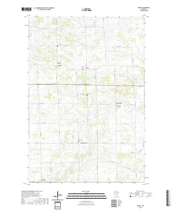 2022 Ramey2022 Print · USGSBenton and Morrison counties are documented in this contemporary survey of a classic Minnesota prairie-river landscape. Genealogists and local researchers can trace family connections at Saint Josephs Cem, Fairview Cem, and the old settlement of Brennyville.
 - 2022 Map of Pierz Lake, 2022 Print
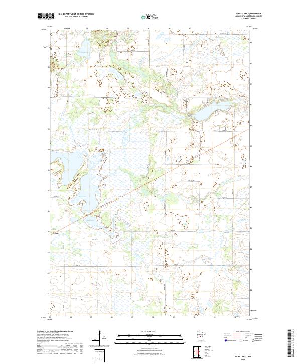 2022 Pierz Lake2022 Print · USGSThe rural landscape of Morrison County is documented here in the early twenty-first century, featuring the quiet settlement of Vawter. Researchers can trace the transformation of old rail lines into the Soo Line South: Morrison Trl or explore the wetlands around Rice Lake and Mud Lake.
 - 2022 Map of Upsala, 2022 Print
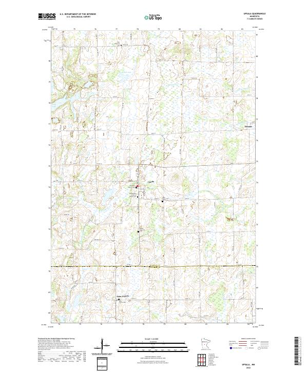 2022 Upsala2022 Print · USGSUpsala and the surrounding Morrison County lakeland are captured here in the early twenty-first century as a landscape of rural communities and wetlands. Researchers can trace local heritage through numerous sites like Covenant Church Cem, Saint Francis, and the shores of Lake Beautiful.
 - 2022 Map of Rice, 2022 Print
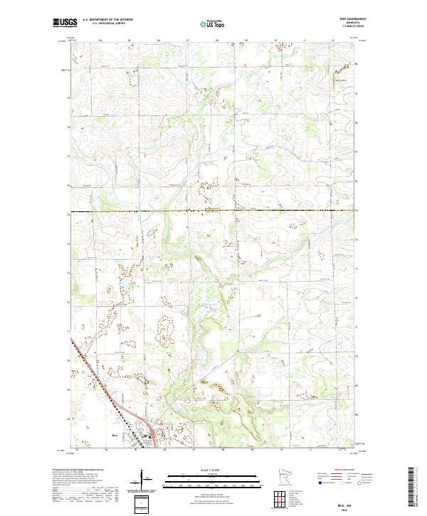 2022 Rice2022 Print · USGSThe village of Rice and the surrounding farmsteads of Benton County are captured in this recent survey. Researchers can locate family sites near Immaculate Conception Cem or trace the riparian corridors of Little Rock Cr and Sartell Swamp.
 - 2022 Map of Royalton, 2022 Print
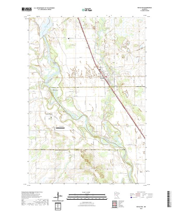 2022 Royalton2022 Print · USGSRoyalton and the Mississippi River valley are captured in this contemporary survey of the Morrison and Benton county lines. Genealogists can locate several burial sites including Pioneer Cemetery and Holy Cross Church Cem, while tracing the rural landscape of North Prairie.
 - 2022 Map of Pierz, 2022 Print
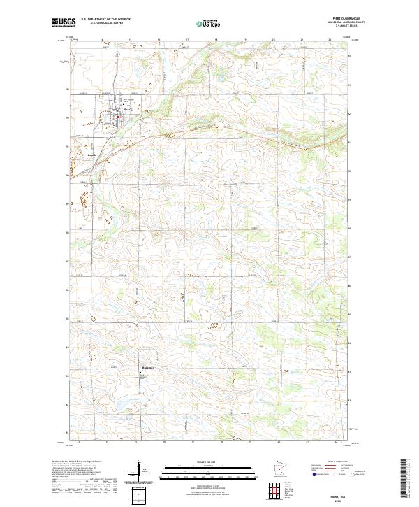 2022 Pierz2022 Print · USGSAgricultural life in Morrison County continues its long tradition in this modern look at the settlements of Pierz and Buckman. Researchers can trace local lineage at Saint Joseph's Catholic Cem and follow the route of the Soo Line South: Morrison Trl.
 - 2022 Map of Bowlus, 2022 Print
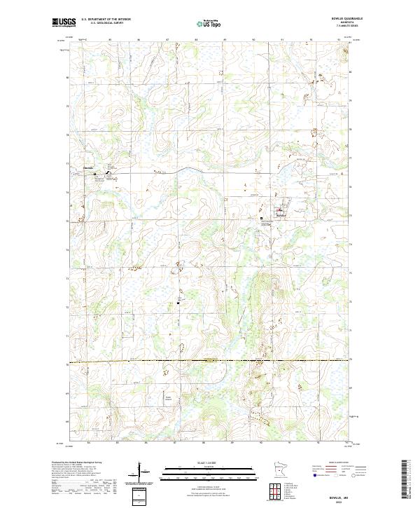 2022 Bowlus2022 Print · USGSMorrison County near the Stearns County line exhibits a landscape of small river-valley settlements and rural parishes in the early 2020s. Genealogists can trace family footprints at Saint Stanislaus Saint Stan Kostka Cem or explore the history of Elmdale and Bowlus.
 - 2022 Map of Lake Beauty, 2022 Print
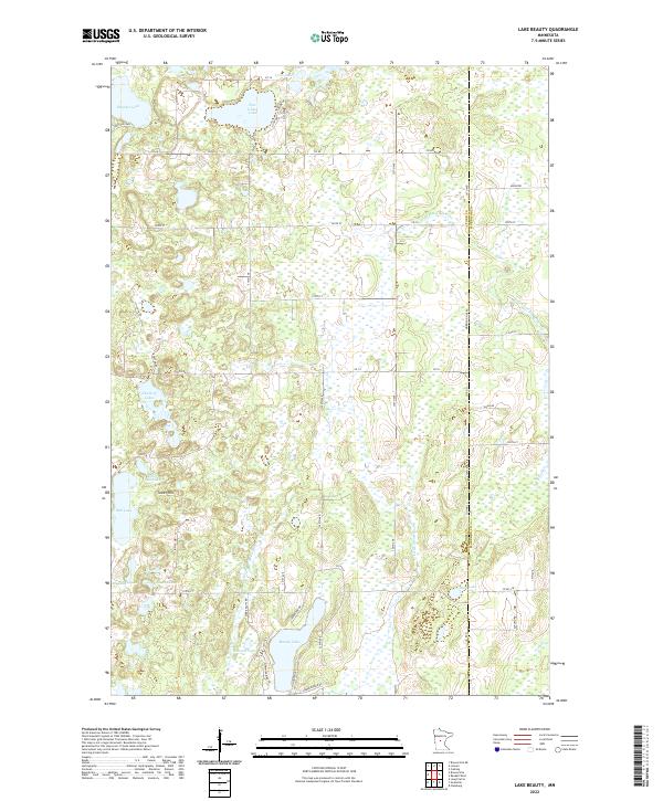 2022 Lake Beauty2022 Print · USGSThe lake-strewn border of Todd and Morrison counties is captured here in the 2020s, showing a landscape defined by glacial waters and rural township lines. Trace the local topography near Tower Hill or follow the wetlands surrounding Mill Lake and Beauty Lake.
 - 2022 Map of Fort Ripley, 2022 Print
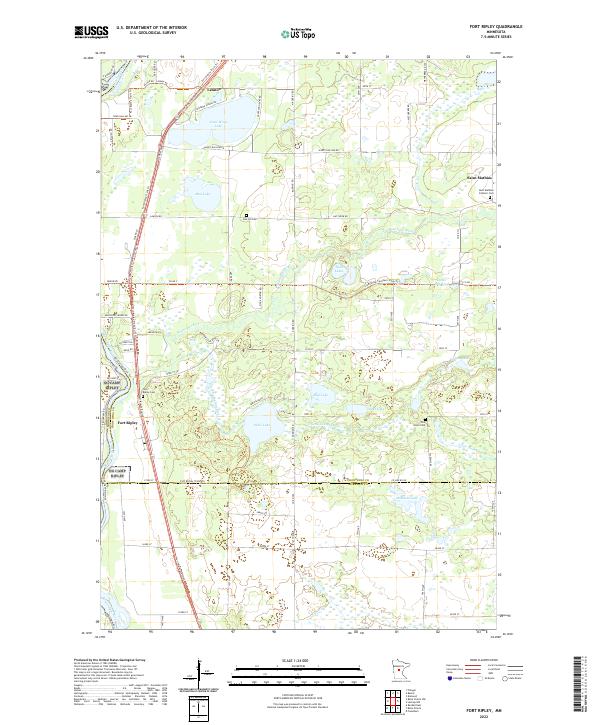 2022 Fort Ripley2022 Print · USGSThe river valleys and glacial lakes of Crow Wing County are captured here in the early twenty-first century. Researchers can trace historic cemeteries like Oak Hill Cem and Pine Grove Cem or follow the paths of the Nokasippi River and Fort Ripley Trails Trl.
 - 2022 Map of Hillman SE, 2022 Print
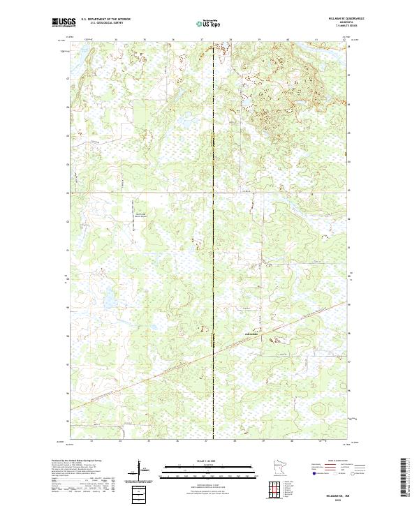 2022 Hillman SE2022 Print · USGSMorrison and Mille Lacs counties meet in this wetland-rich landscape during the early twenty-first century. Researchers can trace the repurposed rail corridors of the Soo Line South trails and locate the settlement of Johnsdale.
 - 2022 Map of Platte Lake, 2022 Print
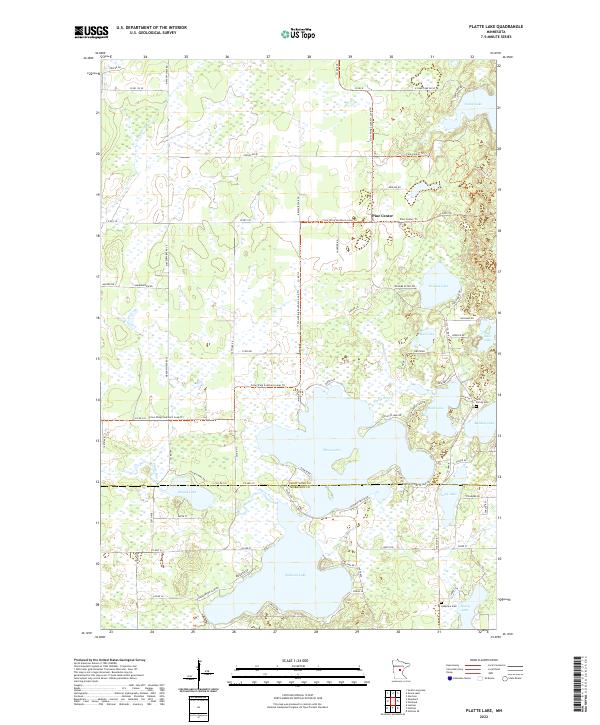 2022 Platte Lake2022 Print · USGSCrow Wing and Morrison counties are captured here in the early 2020s, showing a landscape defined by glacial lakes and rural settlements. Genealogists and local historians can trace family sites near Holy Family Cem or navigate the areas around Pine Center and Platte Lake.
 - 2022 Map of Freedhem, 2022 Print
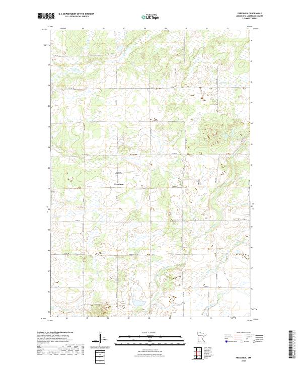 2022 Freedhem2022 Print · USGSThe rural landscape of Morrison County is meticulously detailed here in the early twenty-first century. Researchers can locate the Freedhem Lutheran Cem near the central settlement of Freedhem and trace the winding course of the Platte River.
 - 2022 Map of Belle Prairie, 2022 Print
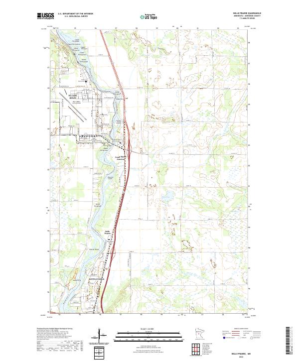 2022 Belle Prairie2022 Print · USGSThe riverfront north of Little Falls and the military grounds of Camp Ripley are captured here in the early twenty-first century. Genealogists and local historians can trace family sites at Belle Prairie and the Minnesota State Veterans Cem.
 - 2022 Map of Ramey NE, 2022 Print
 2022 Ramey NE2022 Print · USGSMorrison and Mille Lacs counties are shown here in the early twenty-first century, revealing a landscape dominated by complex wetland systems. Researchers can trace the drainage of Tibbetts Brook, the W Br Rum River, and S Fork Bradbury Brook across a rural grid of roads like Sage Rd.
 - 2022 Map of Burtrum, 2022 Print
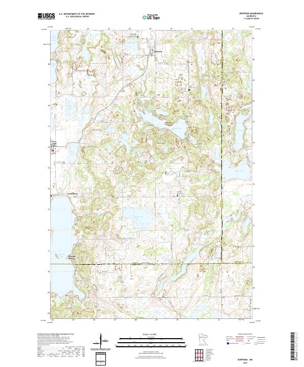 2022 Burtrum2022 Print · USGSCentral Minnesota's lake country is captured here as a patchwork of water and small-town life where three counties converge. Genealogists can trace family names and local landmarks near Burtrum, Old Saint Marys Cem, and Big Birch Lake.
 - 2022 Map of Motley SE, 2022 Print
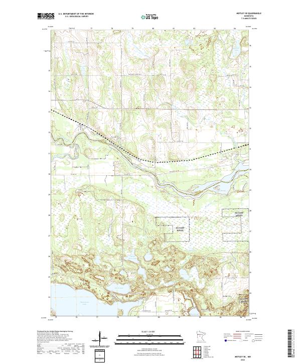 2022 Motley SE2022 Print · USGSThe confluence of the Crow Wing and Long Prairie rivers defines this region of central Minnesota at the Cass and Morrison county line. Modern researchers can trace the shorelines of Shamineau Lake and Lake Placid or follow old routes like Red River Trl SW.
 - 2022 Map of Little Falls East, 2022 Print
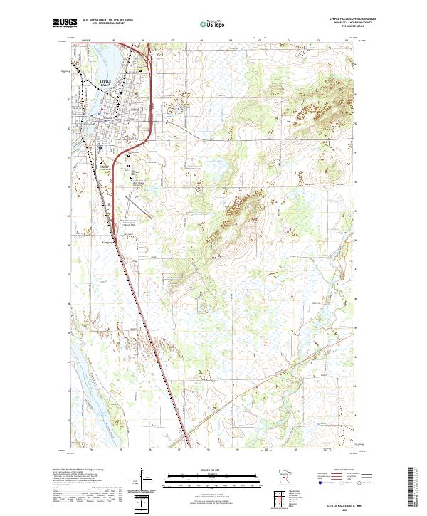 2022 Little Falls East2022 Print · USGSThe east side of Little Falls comes alive in this contemporary survey of the Mississippi River corridor. Local historians can trace the numerous community burial sites like Sacred Heart of Jesus Polish National Catholic Cem and landmarks such as the Morrison County Courthouse.
 - 2022 Map of Belle Prairie NW, 2022 Print
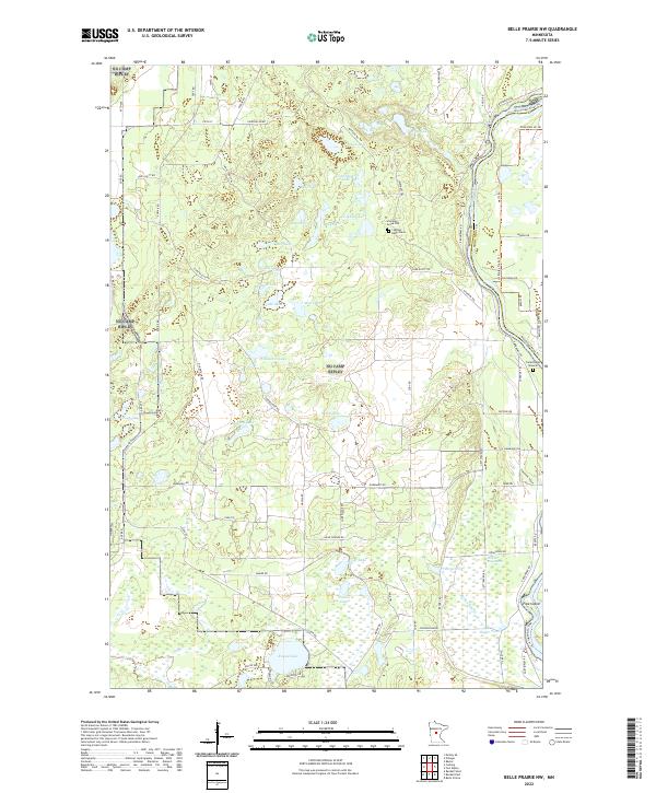 2022 Belle Prairie NW2022 Print · USGSMorrison County at the start of the 2020s remains a landscape of dense glacial lakes and significant riverfront history. Researchers can identify isolated burial sites like the Stroming Grave Site or trace the shoreline from Pipe Island to the Camp Ripley Mounds.
 - 2022 Map of Cushing, 2022 Print
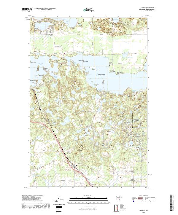 2022 Cushing2022 Print · USGSCushing and the surrounding Scandia Valley appear here in the early twenty-first century, showing a landscape defined by its glacial lakes and rural infrastructure. Researchers can locate Cushing Union Cemetery, the BNSF Railway corridor, and prominent landmarks like Weyerhaeuser Point on Lake Alexander.
 - 2022 Map of Baxter, 2022 Print
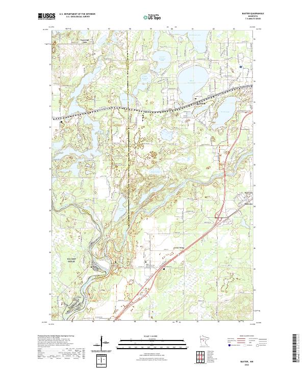 2022 Baxter2022 Print · USGSBaxter and the surrounding lake country appear in high detail during this contemporary era. Genealogists can trace family heritage through local landmarks like Gull River Cem, the Prosser Farm Site Cem, and the settlement of Barrows.
 - 2022 Map of Lincoln, 2022 Print
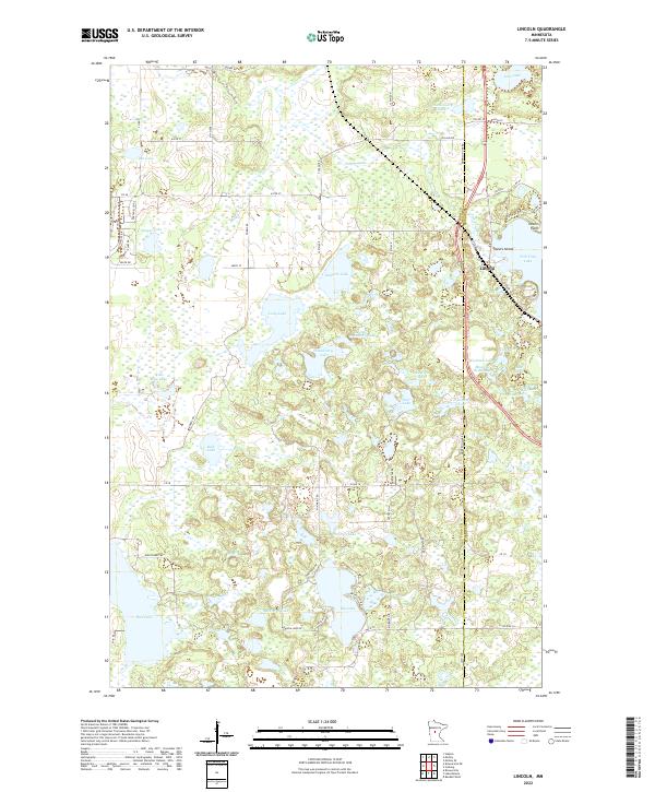 2022 Lincoln2022 Print · USGSThe lakeside community of Lincoln and its surrounding wetlands are captured here in the twenty-first century. Researchers can trace the shoreline developments of Fish Trap Lake, the boundaries of Towers Island, and rural landmarks like D Johnson Pond.
 - 2022 Map of Randall East, 2022 Print
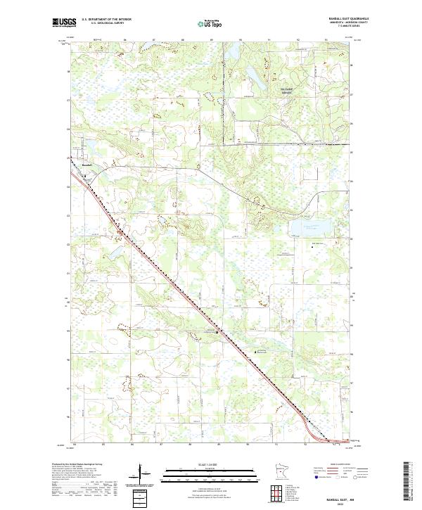 2022 Randall East2022 Print · USGSThis Morrison County landscape outside the village of Randall shows a rural Minnesota network of family-farm roads and glacial lakes. Genealogists and local historians can locate several historic burial sites, including Fish Lake Cem, Immanuel Lutheran Cem, and the Old Darling Mission Cem.
 - 2022 Map of Pillager, 2022 Print
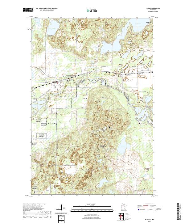 2022 Pillager2022 Print · USGSThe Crow Wing River valley near Pillager and Sylvan is shown here in the early 2020s, revealing a landscape of dense water bodies and woodland. Genealogists can locate numerous burial sites, from the Crow Wing River Cem and Sylvan Cem to the specific Mrs Albert Schultz Grave.
Showing maps 1-25 of 36
Top cities of Morrison County
- Little Falls historical maps
- Pierz historical maps
- Royalton historical maps
- Cushing historical maps
- Morrill historical maps
- Motley historical maps
See more
Frequently asked questions
- What are the different types of historical maps available for Morrison County?
- What is the oldest map of Morrison County?
- Where can I purchase historical maps of Morrison County for my home or office?
- Where can I download high-res historical maps of Morrison County?
- Are there historical topographic maps available for Morrison County?
- Is there historical aerial imagery available for Morrison County?
- Where are historical maps of Morrison County sourced from?