Old Maps of Le Roy, Minnesota for Academic Research
Study the evolution of Le Roy with 16 high-resolution historic maps. Whether you're teaching, researching, or modeling changes in land use, these maps provide essential visual documentation of urban, environmental, and geographic change.
- Analyze long-term change: Track patterns in development, transportation, and natural features.
- Ideal for environmental or urban studies: Support academic projects with primary historical map data.
- Use in the classroom or lab: Educators and researchers rely on these maps to bring historical context to life.
These maps are a powerful tool for teaching, research, and visualizing how Le Roy has changed over the decades.
Le Roy, MN maps
(16)- 1954 Map of Mason City, 1967 Print
 1954 Mason City1967 Print · USGSSouthern Minnesota and northern Iowa are shown here at the height of the mid-century rail era, centered on the regional hubs of Mason City and Rochester. Researchers can trace the vanished paths of the Chicago Great Western and find local landmarks like Pilot Knob and Bear Lake.2 unique versions available
 - 1957 Map of Mason City
 1957 Mason City1957 Print · USGSThe Minnesota-Iowa border region comes alive in this mid-century survey, from the industrial plants of Mason City to the medical hub of Rochester. Researchers can trace the rail-and-river economy through the Chicago Great Western Railway and the Shell Rock River.
 - 1958 Map of Mason City
 1958 Mason City1958 Print · USGSSouthern Minnesota and northern Iowa are shown during the mid-fifties when railroads still anchored the regional economy. Genealogists and historians can trace the intricate rail networks of the Illinois Central and find local landmarks in Mason City, Albert Lea, and Austin.
 - 1965 Map of Le Roy, 1966 Print
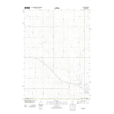
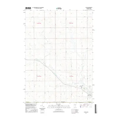
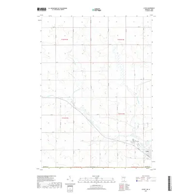
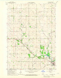 1965 Le Roy1966 Print · USGSLe Roy was a bustling rail hub in the mid-1960s, situated at the junction of two major lines near the Iowa border. Genealogists and historians can trace local families through St Patricks Cem or explore the early layout of Lake Louise State Park.
 - 1965 Map of Ostrander, 1966 Print
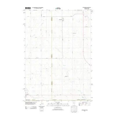
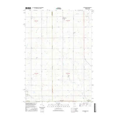
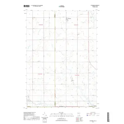
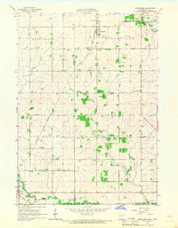 1965 Ostrander1966 Print · USGSThe borderlands of Fillmore County and Iowa are captured here in the mid-sixties, dominated by rail lines and winding river branches. Researchers can pinpoint early landmarks like Bloomfield Cem, the Ostrander rail corridor, and various Quarry sites.
 - 1985 Map of Austin
 1985 Austin1985 Print · USGSSoutheast Minnesota in the mid-1980s reveals a land of river valleys and agricultural hubs along the Iowa border. Researchers can trace the legacy of regional transport through the Chicago and North Western line and landmarks like Niagara Cave or the Rochester Municipal Airport.2 unique versions available
 - 2010 Map of Le Roy, 2010 Print
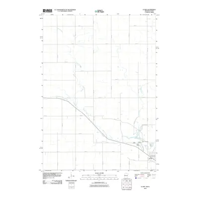 2010 Le Roy2010 Print · USGSCovers Le Roy, including Mower County, Howard County, and other nearby areas
 - 2010 Map of Ostrander, 2010 Print
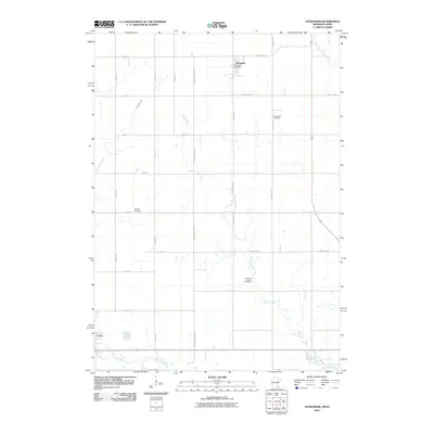 2010 Ostrander2010 Print · USGSCovers Le Roy, including Ostrander, Chester, and other nearby areas
 - 2013 Map of Ostrander, 2013 Print
 2013 Ostrander2013 Print · USGSCovers Le Roy, including Ostrander, Chester, and other nearby areas
 - 2013 Map of Le Roy, 2013 Print
 2013 Le Roy2013 Print · USGSCovers Le Roy, including Mower County, Howard County, and other nearby areas
 - 2016 Map of Le Roy, 2016 Print
 2016 Le Roy2016 Print · USGSCovers Le Roy, including Mower County, Howard County, and other nearby areas
 - 2016 Map of Ostrander, 2016 Print
 2016 Ostrander2016 Print · USGSCovers Le Roy, including Ostrander, Chester, and other nearby areas
 - 2019 Map of Le Roy, 2019 Print
 2019 Le Roy2019 Print · USGSCovers Le Roy, including Mower County, Howard County, and other nearby areas
 - 2019 Map of Ostrander, 2019 Print
 2019 Ostrander2019 Print · USGSCovers Le Roy, including Ostrander, Chester, and other nearby areas
 - 2022 Map of Ostrander, 2022 Print
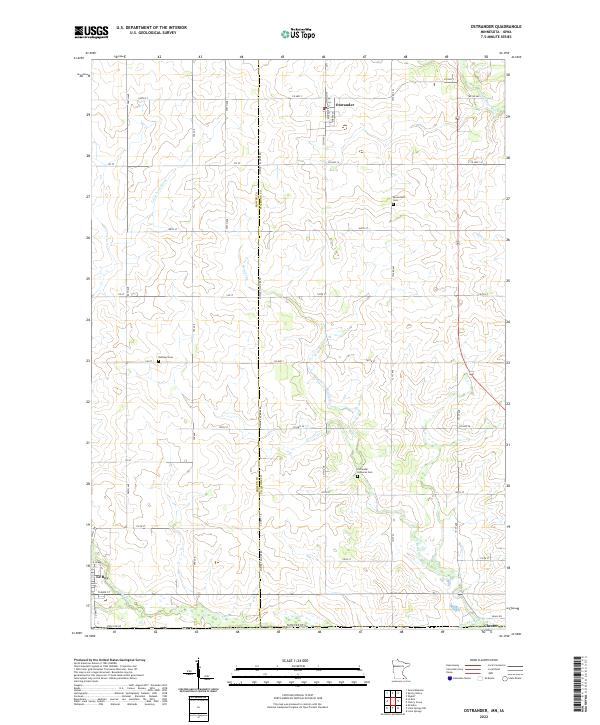 2022 Ostrander2022 Print · USGSThe Minnesota-Iowa state line defines this rural landscape at the turn of the 2020s, where the towns of Ostrander and Chester sit among the headwaters of the Upper Iowa River. Local researchers can trace family roots through sites like Bloomfield Cem and Bethany Cem.
 - 2022 Map of Le Roy, 2022 Print
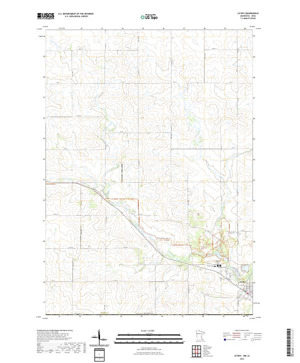 2022 Le Roy2022 Print · USGSThe southern border of Mower County and the town of Le Roy are documented here in the early 2020s. Trace the path of the Upper Iowa River and locate historic burial sites like Saint Patricks Cem and the Lutheran Cem.
End of results
Showing maps 1-16 of 16
Top cities near Le Roy
- Spring Valley historical maps
- Grand Meadow historical maps
- Riceville historical maps
- Adams historical maps
- Lime Springs historical maps
- Dexter historical maps
See more
Frequently asked questions
- What are the different types of historical maps available for Le Roy?
- What is the oldest map of Le Roy?
- Where can I purchase historical maps of Le Roy for my home or office?
- Where can I download high-res historical maps of Le Roy?
- Are there historical topographic maps available for Le Roy?
- Is there historical aerial imagery available for Le Roy?
- Where are historical maps of Le Roy sourced from?