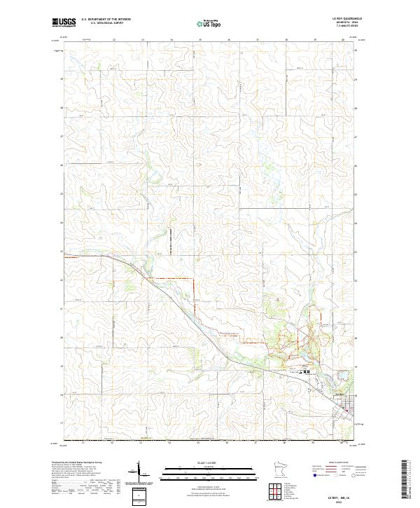
2022 Map of Le Roy
USGS Topo · Published 2022About this map
Le Roy sits at the southern edge of Mower County, where the agricultural landscape meets the Minnesota and Iowa border. The town is defined by its relationship with the Upper Iowa River and the N Br Upper Iowa River, which wind through the township. A modern recreational artery, the Shooting Star State Trl, parallels the river's course, following a corridor that once likely served as a primary transportation route for the region. Genealogists and local historians will find several distinct burial sites clustered near the settlement, including the Le Roy Cem, Saint Patricks Cem, and Lutheran Cem. These sites, along with the convergence of the Little Iowa River to the east, mark the historical and geographical anchor points for this rural community as it transitioned into the twenty-first century.
Find a feature on this map
48 named features on this map. Tap any name to fly to it.
Don’t see what you’re looking for? This feature index may not catch every label — zoom into the map to look around manually.
Map Details
Editions of this 2022 Le Roy Map
This is the sole edition of this map. No revisions or reprints were ever made.
Other maps of this area

1954 · Mason City
USGS Topo · 1:250,000

1957 · Mason City
USGS Topo · 1:250,000

1958 · Mason City
USGS Topo · 1:250,000

1965 · Le Roy
USGS Topo · 1:24,000

1965 · Dexter
USGS Topo · 1:24,000

1965 · Spring Valley
USGS Topo · 1:24,000

1965 · Grand Meadow
USGS Topo · 1:24,000

1965 · Ostrander
USGS Topo · 1:24,000

1965 · Adams
USGS Topo · 1:24,000

1972 · Mc Intire
USGS Topo · 1:24,000