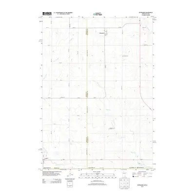
2013 Map of Ostrander
USGS Topo · Published 2013About this map
Ostrander stands at the intersection of Main and Robert streets, serving as a primary settlement on this Southern Minnesota prairie landscape. The drainage patterns of the region are clearly defined by the Little Iowa River and Beaver Cr, which carve through the farmland of Mower and Fillmore counties. To the south, the village of Le Roy is situated near the Upper Iowa River, illustrating the historical importance of these waterways for early settlement and agriculture. Genealogists will find significant local history in the rural burial grounds scattered across the townships, including Bloomfield Cem, Bethany Cem, and the Ostrander Lutheran Cem. The map detail follows the rigid grid of section-line roads like Mower-Fillmore Rd and State Line Rd, showing the enduring structure of Midwestern land division in the early twenty-first century.
Find a feature on this map
39 named features on this map. Tap any name to fly to it.
Don’t see what you’re looking for? This feature index may not catch every label — zoom into the map to look around manually.
Map Details
Editions of this 2013 Ostrander Map
This is the sole edition of this map. No revisions or reprints were ever made.
Other maps of this area

1954 · Mason City
USGS Topo · 1:250,000

1957 · Mason City
USGS Topo · 1:250,000

1958 · Mason City
USGS Topo · 1:250,000

1965 · Le Roy
USGS Topo · 1:24,000

1965 · Wykoff
USGS Topo · 1:24,000

1965 · Spring Valley
USGS Topo · 1:24,000

1965 · Grand Meadow
USGS Topo · 1:24,000

1965 · Ostrander
USGS Topo · 1:24,000

1965 · Cherry Grove
USGS Topo · 1:24,000

1972 · Mc Intire
USGS Topo · 1:24,000