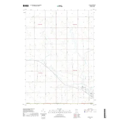
2019 Map of Le Roy
USGS Topo · Published 2019About this map
Le Roy sits near the southern edge of Mower Co, Minnesota, marking a point where the local landscape is defined by the winding course of the Upper Iowa River and its tributaries. The town's layout follows a grid that meets the diagonal path of the river, with W Main St and Co Rd 56 providing the primary thoroughfares. This area near the state line is notable for its concentrated burial sites, including the Le Roy Cem, Lutheran Cem, and Saint Patricks Cem, which serve as vital points for genealogical research in this border region. To the north and west, the terrain is characterized by the branching of the N Br Upper Iowa River and the Little Iowa River, creating a well-watered agricultural corridor. The map details the extensive network of section-line roads, such as Co Hwy 8, that organize the surrounding rural sections.
Find a feature on this map
50 named features on this map. Tap any name to fly to it.
Don’t see what you’re looking for? This feature index may not catch every label — zoom into the map to look around manually.
Map Details
Editions of this 2019 Le Roy Map
This is the sole edition of this map. No revisions or reprints were ever made.
Other maps of this area

1954 · Mason City
USGS Topo · 1:250,000

1957 · Mason City
USGS Topo · 1:250,000

1958 · Mason City
USGS Topo · 1:250,000

1965 · Le Roy
USGS Topo · 1:24,000

1965 · Dexter
USGS Topo · 1:24,000

1965 · Spring Valley
USGS Topo · 1:24,000

1965 · Grand Meadow
USGS Topo · 1:24,000

1965 · Ostrander
USGS Topo · 1:24,000

1965 · Adams
USGS Topo · 1:24,000

1972 · Mc Intire
USGS Topo · 1:24,000