2020s Maps of Norman County, Minnesota
Explore 21 historic maps of Norman County from the 2020s. These maps offer a rare glimpse into what life looked like during the 2020s — showing old roads, neighborhoods, homes, and landmarks that have changed or disappeared over time.
Whether you're researching your family's past, planning a metal detecting trip, or studying how Norman County's landscape evolved across the 2020s, these high-resolution maps are a powerful tool for exploring the history of this region.
- Focus on a specific era: All maps on this page are from the 2020s, giving you a focused view of this time period.
- See what’s changed: Compare century-old streets, trails, and buildings to today's modern landscape using overlays and satellite layers.
- Research with precision: Use these maps for genealogy, historical research, land use analysis, or educational projects.
- View, download, or print: Maps are fully viewable online in high resolution, and can be downloaded or printed for your own records.
Start exploring Norman County's history through authentic maps from the 2020s. This is your window into the past.
Norman County, MN maps
(21)- 2022 Map of Syre, 2022 Print
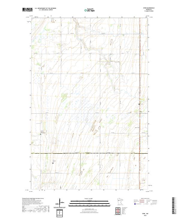 2022 Syre2022 Print · USGSThe border of Norman and Clay Counties in western Minnesota is documented here in the early twenty-first century, showing a landscape of precise section lines and prairie drainage. Genealogists can locate family sites near Syre, the United Norwegian Lutheran Cem, and the Agassiz Recreational Trail.
 - 2022 Map of Ranum, 2022 Print
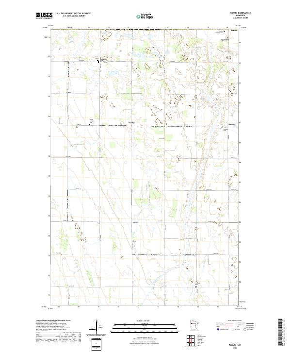 2022 Ranum2022 Print · USGSNorman County remains a landscape of quiet prairie townships and deep-rooted heritage as seen in the 2020s. Genealogists can trace family footprints across several rural sites including Faaberg Lutheran Cem, the International Order of Good Templars Cem, and Ranum.
 - 2022 Map of Flaming, 2022 Print
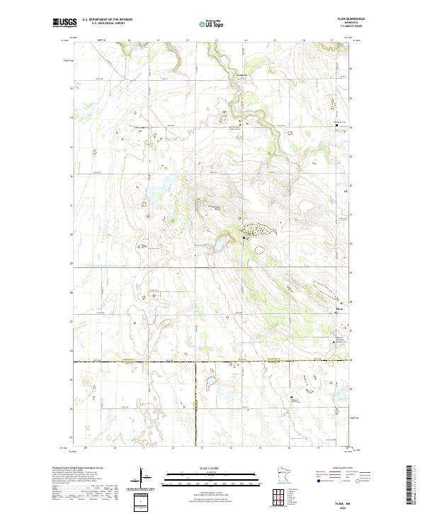
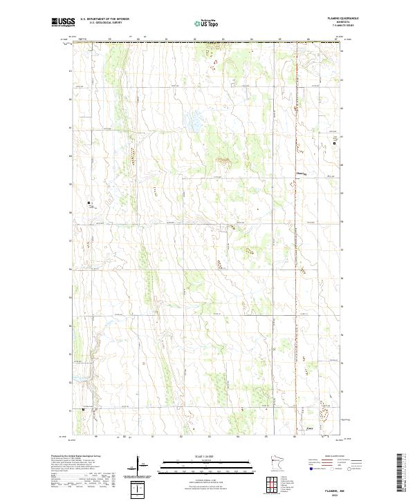 2022 Flaming2022 Print · USGSNorman County in the early 2020s is a landscape of expansive prairie farms and quiet rural crossroads. Genealogists and local researchers can locate family sites at Old Sundal Cem and Spring Creek Cem or trace the route of Spring Creek.
 - 2022 Map of Shelly, 2022 Print
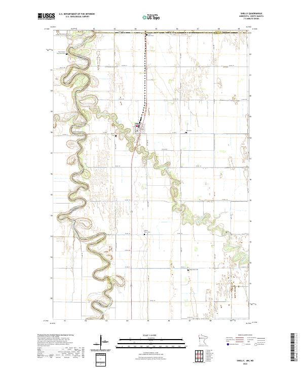 2022 Shelly2022 Print · USGSThe Minnesota-North Dakota borderlands are captured here in the early 2020s, dominated by the winding Red River of the North. Genealogists can trace family landmarks like the Traill County Poor Farm Cem and Marsh River Cem near the town of Shelly.
 - 2022 Map of Flom, 2022 Print
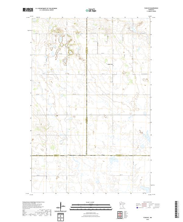
 2022 Flom2022 Print · USGSNorthwest Minnesota farmland at the start of the 2020s is meticulously detailed in this survey of the Norman and Clay county borders. Researchers can locate remote parish sites like Aspelund Norwegian Lutheran Cem and family-named landmarks such as Frenchmans Bluff.
 - 2022 Map of Anthony, 2022 Print
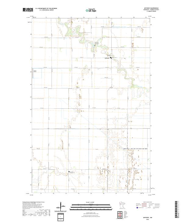 2022 Anthony2022 Print · USGSThe rural landscape of Norman County is captured in this recent survey, centered on the historic settlement of Anthony. Researchers can trace local genealogy through several rural burial sites, including the West Petri-East Marsh River Cem and Concordia Menighed Cem.
 - 2022 Map of Felton NW, 2022 Print
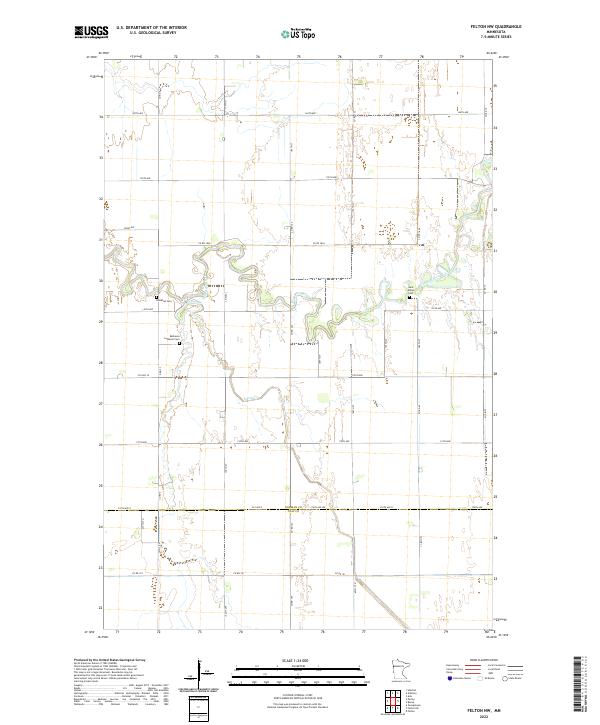 2022 Felton NW2022 Print · USGSThe Norman and Clay County line comes alive in the 2020s through this detailed survey of the Wild Rice River valley. Genealogists can locate family burial plots at Saint Marys Cem, Bethania Lutheran Cem, and Landstad Cem.
 - 2022 Map of Twin Valley NW, 2022 Print
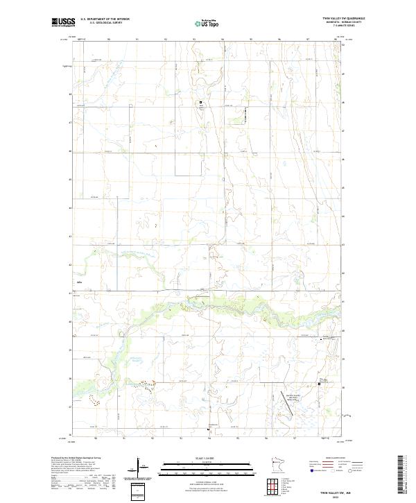
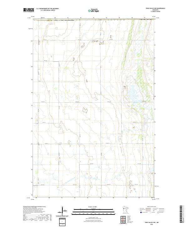 2022 Twin Valley NW2022 Print · USGSNorthwest of Twin Valley during the early 2020s, this area shows the intersection of the Polk Co and Norman Co lines. Genealogists and land researchers can trace property boundaries and drainage patterns along State Ditch Number Sixty-eight and Spring Cr.
 - 2022 Map of Halstad, 2022 Print
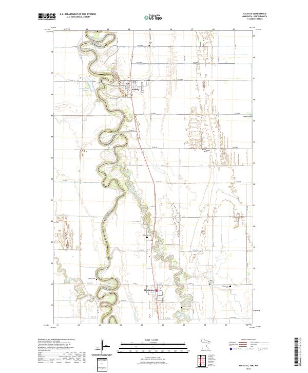 2022 Halstad2022 Print · USGSThe Red River Valley along the Minnesota-North Dakota border is shown here in the early 2020s, dominated by the serpentine Red River of the North. Researchers can locate numerous rural burial sites including Saint Pauli Cem, Quincy Cem, and Pontoppidan Cem near the towns of Halstad and Hendrum.
 - 2022 Map of Twin Valley, 2022 Print
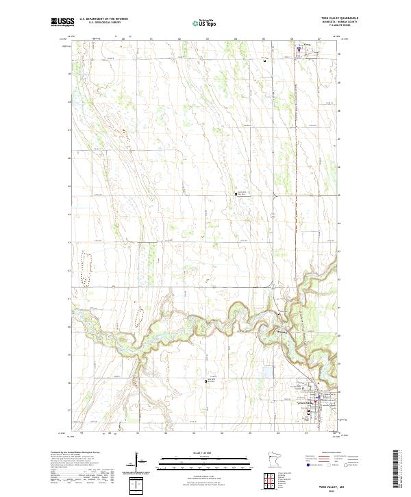 2022 Twin Valley2022 Print · USGSTwin Valley and Gary anchor this Norman County landscape in the early 2020s, where the river valley meets the prairie grid. Genealogists can trace family sites at Zion Memorial Gardens or follow the Wild Rice River to Heiberg.
 - 2022 Map of Ulen NW, 2022 Print
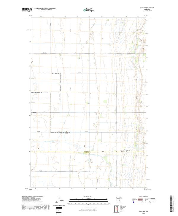 2022 Ulen NW2022 Print · USGSThe agricultural heart of the Red River Valley is captured here in the early twenty-first century, showing the rural grid around Borup. Researchers can locate family sites near Jevnaker Cem or trace the winding path of the S Br Wild Rice River.
 - 2022 Map of Ada NW, 2022 Print
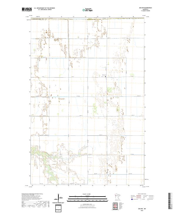 2022 Ada NW2022 Print · USGSThe northwest corner of Ada, Minnesota, is shown here in the early 2020s, dominated by the drainage systems of the Red River Valley. Local historians can trace family roots at Bethany Cem or follow the path of the Marsh River through the agricultural grid.
 - 2022 Map of Waukon, 2022 Print
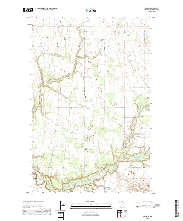 2022 Waukon2022 Print · USGSNorman County agricultural lands are documented here in recent years, showing the area between Waukon and Twin Valley. Genealogists can locate several burial grounds, such as Saint Petri Cem and Hlubek Cem, along the Wild Rice River.
 - 2022 Map of Faith, 2022 Print
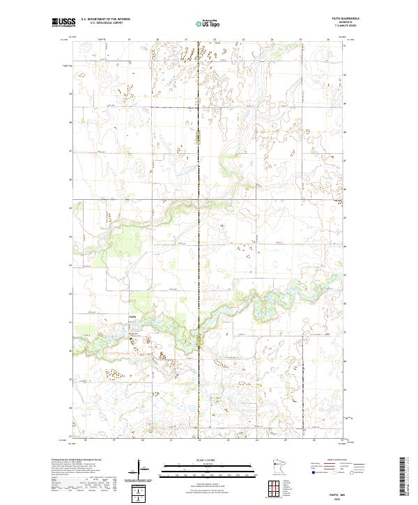 2022 Faith2022 Print · USGSThe borderlands of Norman and Mahnomen counties are captured here in the early twenty-first century, centered on the small community of Faith. Genealogists and local historians can trace the landscape around the Saint Olaf Lutheran Cem and the natural meanders of the Wild Rice River and Spring Cr.
 - 2022 Map of Faith NE, 2022 Print
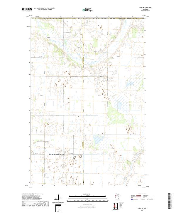 2022 Faith NE2022 Print · USGSNorthwestern Minnesota's prairie landscape is captured here at the junction of three counties during the early 2020s. Genealogists and researchers can trace the rural grid between Sand Hill River and the engineered waters of Judicial Ditch Number Fiftyfive.
 - 2022 Map of Perley, 2022 Print
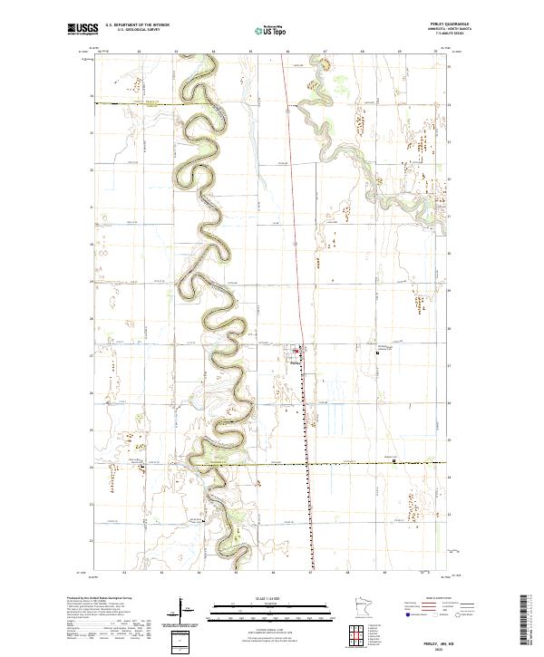 2022 Perley2022 Print · USGSThe meanders of the Red River of the North carve a winding path through the borderlands of Minnesota and North Dakota in this recent survey. Genealogists can locate several local burial sites and landmarks including Perley, Kirkebo Cem, and the Nora Lutheran Church Cem.
 - 2022 Map of Twin Valley SW, 2022 Print
 2022 Twin Valley SW2022 Print · USGSNorman County’s agricultural heartland is documented here in the early twenty-first century, showing the intersection of river drainage and rural township life. Genealogists can locate several historic burial sites, including Saint John's Cem, Ada Cem, and the Norman County Poor Farm Cem.
 - 2022 Map of Lockhart, 2022 Print
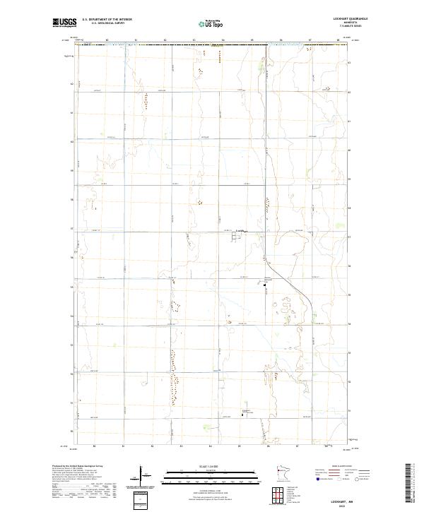 2022 Lockhart2022 Print · USGSNorman County agricultural lands are captured here in the early twenty-first century, showing the enduring grid of farm roads and drainage systems. Researchers can locate specific sites of local heritage such as the German Methodist Cem and Lockhart.
 - 2022 Map of Flom NE, 2022 Print
 2022 Flom NE2022 Print · USGSThe intersection of Mahnomen, Norman, and Becker counties is captured here in the early 2020s, showing a landscape of scattered wetlands and section-line roads. Genealogists and land researchers can trace property boundaries along CO RD 31 or near the shores of Apple Lake.
 - 2022 Map of Borup, 2022 Print
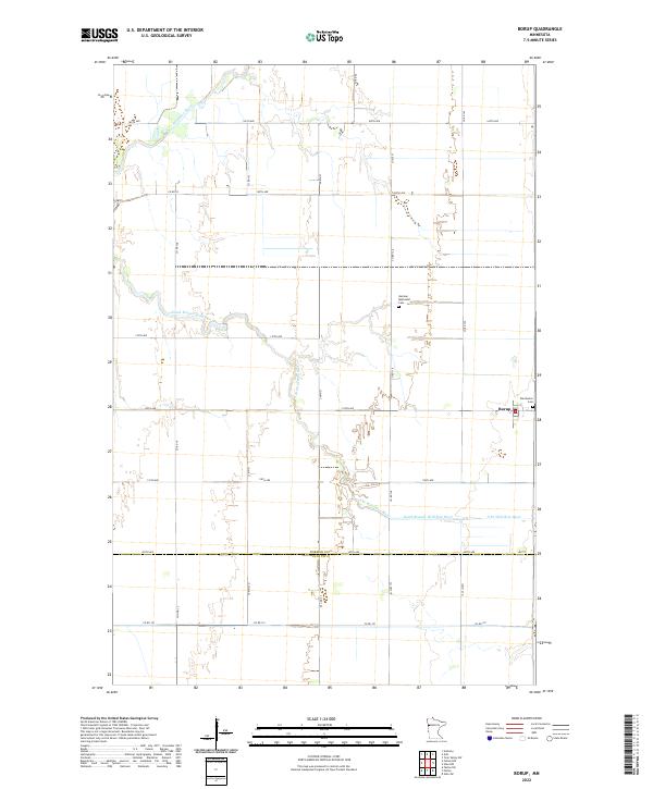 2022 Borup2022 Print · USGSNorman County's agricultural heartland is documented here in the early twenty-first century, centered on the village of Borup. Genealogists and local historians can locate family plots at Winchester Cemetery or trace the winding Wild Rice River through the prairie.
 - 2022 Map of Ada, 2022 Print
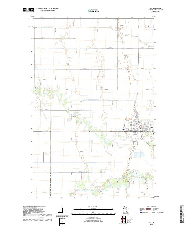 2022 Ada2022 Print · USGSNorman County, Minnesota, is captured here in the early 2020s, showing the agricultural center of Ada and the surrounding prairie landscape. Genealogists can locate the Norman County Courthouse and local burial sites like Petri Cem and Ada Cem.
End of results
Showing maps 1-21 of 21
Top cities of Norman County
- Ada historical maps
- Twin Valley historical maps
- Halstad historical maps
- Hendrum historical maps
- Shelly historical maps
- Gary historical maps
See more
Frequently asked questions
- What are the different types of historical maps available for Norman County?
- What is the oldest map of Norman County?
- Where can I purchase historical maps of Norman County for my home or office?
- Where can I download high-res historical maps of Norman County?
- Are there historical topographic maps available for Norman County?
- Is there historical aerial imagery available for Norman County?
- Where are historical maps of Norman County sourced from?