2010s Maps of Norman County, Minnesota
Explore 84 historic maps of Norman County from the 2010s. These maps offer a rare glimpse into what life looked like during the 2010s — showing old roads, neighborhoods, homes, and landmarks that have changed or disappeared over time.
Whether you're researching your family's past, planning a metal detecting trip, or studying how Norman County's landscape evolved across the 2010s, these high-resolution maps are a powerful tool for exploring the history of this region.
- Focus on a specific era: All maps on this page are from the 2010s, giving you a focused view of this time period.
- See what’s changed: Compare century-old streets, trails, and buildings to today's modern landscape using overlays and satellite layers.
- Research with precision: Use these maps for genealogy, historical research, land use analysis, or educational projects.
- View, download, or print: Maps are fully viewable online in high resolution, and can be downloaded or printed for your own records.
Start exploring Norman County's history through authentic maps from the 2010s. This is your window into the past.
Norman County, MN maps
(84)- 2010 Map of Twin Valley SW, 2010 Print
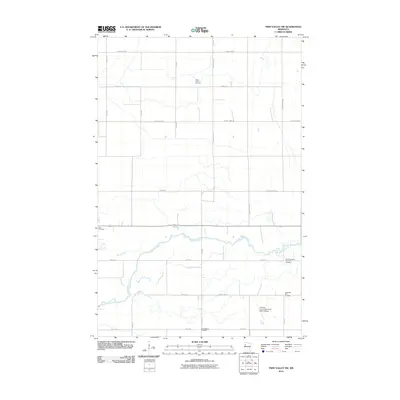 2010 Twin Valley SW2010 Print · USGSNorthwest Minnesota's agricultural heartland is documented here just after the first decade of the new millennium. Genealogists can trace family history through several rural burial sites, including Skandinavia Cemetery and the Norman County Poor Farm Cemetery.
 - 2010 Map of Twin Valley NW, 2010 Print
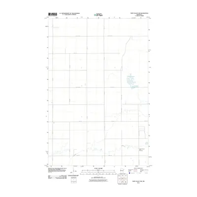 2010 Twin Valley NW2010 Print · USGSPolk County at the turn of the millennium remains a landscape of sprawling wetlands and precise agricultural grids. Genealogists and local historians can trace the rural infrastructure around Lockhart Swamp or locate the Green Meadow Group Pond Dam along Spring Creek.
 - 2010 Map of Ulen NW, 2010 Print
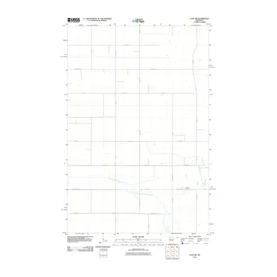 2010 Ulen NW2010 Print · USGSClay County at the start of the 2010s reveals a structured agricultural landscape shaped by the South Branch Wild Rice River. Researchers can trace local heritage at Jevnaker Cemetery or follow the legacy of rural road development along County Hwy-102.
 - 2010 Map of Waukon, 2010 Print
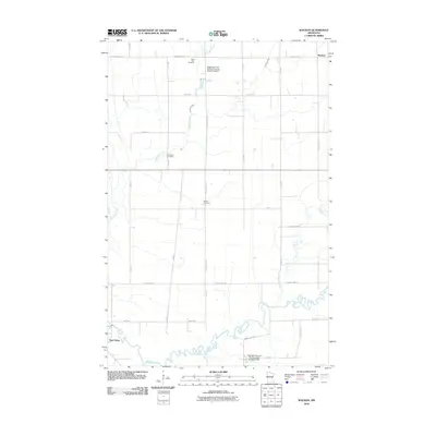 2010 Waukon2010 Print · USGSWaukon and the surrounding Norman County farmlands are captured here in the early twenty-first century as the Wild Rice River winds through the prairie. Genealogists and local researchers can locate specific sites including Saint Petri Cemetery, Immanuel Cemetery, and the Habedank-Skaurud Multipurpose Structure Dam.
 - 2010 Map of Twin Valley, 2010 Print
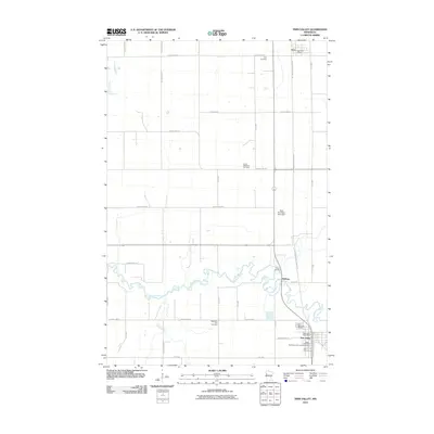 2010 Twin Valley2010 Print · USGSThe rural landscape of Twin Valley and Gary, Minnesota, is documented here in the early twenty-first century as the Wild Rice River winds through the prairie. Researchers can locate numerous local landmarks including Zion Memorial Gardens, the Wild Rice River Dam, and the Gary Post Office.
 - 2010 Map of Borup, 2010 Print
 2010 Borup2010 Print · USGSThe rural community of Borup and the surrounding agricultural lands of Norman County are captured here in the early twenty-first century. Genealogists and local historians can locate the Borup Post Office and trace family roots at Winchester Cemetery or the German Methodist Cemetery.
 - 2010 Map of Syre, 2010 Print
 2010 Syre2010 Print · USGSSyre and the Norman County plains are captured here in the early twenty-first century, showing a landscape of structured section lines and quiet creek beds. Genealogists can locate family landmarks like Old Jevnaker Cemetery and the United Norwegian Lutheran Cemetery alongside the Agassiz Recreational Trl.
 - 2010 Map of Anthony, 2010 Print
 2010 Anthony2010 Print · USGSThis part of Norman County in 2010 shows a landscape of steady agriculture and quiet rural heritage. Genealogists can locate several historic burial sites like the Concordia Menighed Cemetery and West Petri-East Marsh River Cemetery along the banks of the Marsh River.
 - 2010 Map of Lockhart, 2010 Print
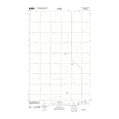 2010 Lockhart2010 Print · USGSLockhart and the surrounding Norman County prairies are captured in this recent survey of the Minnesota lakebed plains. Genealogists can trace family roots at the German Methodist Cemetery or Immanuel Lutheran Cemetery and follow the rural road grid from Lockhart to County Hwy-1.
 - 2010 Map of Ada, 2010 Print
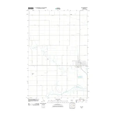 2010 Ada2010 Print · USGSNorman County at the start of the 2010s shows a landscape defined by the intersection of the Red River Valley's agricultural grid and its winding river systems. Genealogists and local historians can trace the town of Ada, locate Petri Cemetery, and see the footprint of the Norman County Fairgrounds.
 - 2010 Map of Flaming, 2010 Print
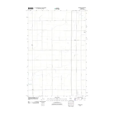 2010 Flaming2010 Print · USGSThe rural landscape around the settlement of Flaming is captured here during the first decade of the millennium. Genealogists can locate family burial sites at Old Sundal Cemetery, Spring Creek Cemetery, and Luchau Cemetery, while tracing the path of the Agassiz Recreational Trl.
 - 2010 Map of Ada NW, 2010 Print
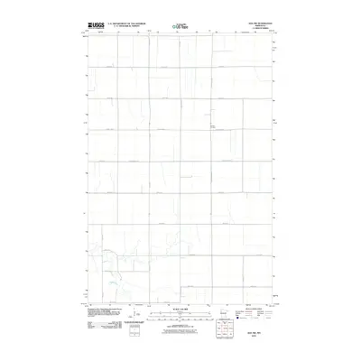 2010 Ada NW2010 Print · USGSPolk County at the start of the new millennium shows a landscape defined by its grid and river drainage. Genealogists and local historians can trace family sites near Bethany Cemetery or the winding banks of the Marsh River.
 - 2010 Map of Felton NW, 2010 Print
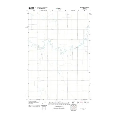 2010 Felton NW2010 Print · USGSClay County at the dawn of the 2010s is a landscape of precise agricultural grids and winding prairie rivers. Researchers can locate family heritage sites like Landstad Cemetery and Saint Marys Cemetery along the banks of the Wild Rice River.
 - 2011 Map of Shelly, 2011 Print
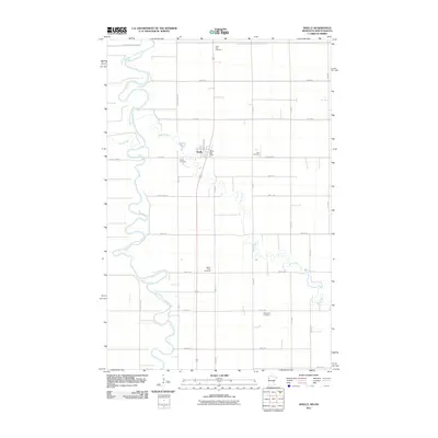 2011 Shelly2011 Print · USGSThe fertile Red River Valley landscape near the North Dakota border is captured here during the early twenty-first century. Genealogists and local historians can locate several rural landmarks including Shelly Cemetery, Saint Petri Cemetery, and the Shelly Post Office.
 - 2011 Map of Halstad, 2011 Print
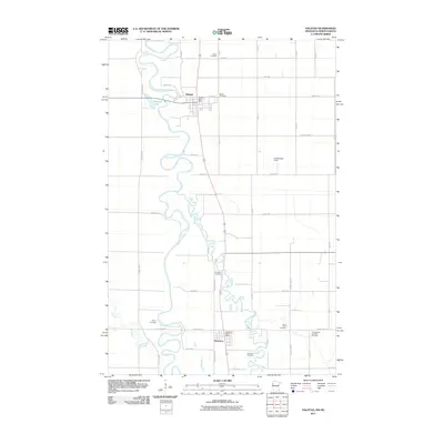 2011 Halstad2011 Print · USGSThe Red River Valley in the early twenty-first century remains defined by its meandering waterways and established farmstead grids. Family historians can locate several burial grounds like Quincy Cemetery and Riverside Cemetery near Hendrum.
 - 2011 Map of Perley, 2011 Print
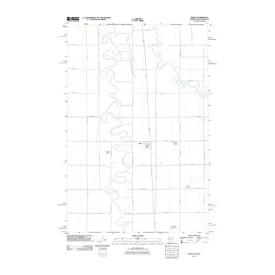 2011 Perley2011 Print · USGSThe fertile Red River Valley comes into focus in this early twenty-first-century survey of Perley and its agricultural surroundings. Researchers can trace local heritage through the Old Bethlehem Lutheran Cemetery, Kirkebo Cemetery, and aviation sites like Swenson Airstrip.
 - 2011 Map of Flom NE, 2011 Print
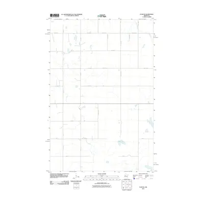 2011 Flom NE2011 Print · USGSBecker County’s rural township structure is preserved here in the early twenty-first century, showing a landscape defined by prairie lakes and a dense grid of section roads. Trace local land access via Fossum Rd Se or locate shorelines like Apple Lake.
 - 2011 Map of Faith, 2011 Print
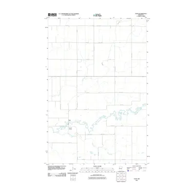 2011 Faith2011 Print · USGSFaith and the surrounding Norman County farmland are shown here in the early twenty-first century as the landscape remains tied to its river roots. Researchers can locate the Saint Olaf Lutheran Cemetery and the Faith Dam along the winding Wild Rice River.
 - 2011 Map of Faith NE, 2011 Print
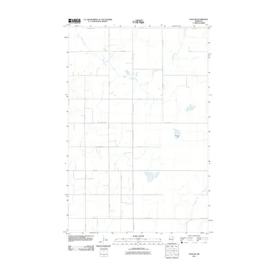 2011 Faith NE2011 Print · USGSPolk County at the start of the 2010s remains a landscape of vast agricultural grids and winding prairie waterways. Genealogists and researchers can trace the reaches of the Sand Hill River and locate water landmarks like the Frog Lake Dam and Marsh Creek.
 - 2011 Map of Flom, 2011 Print
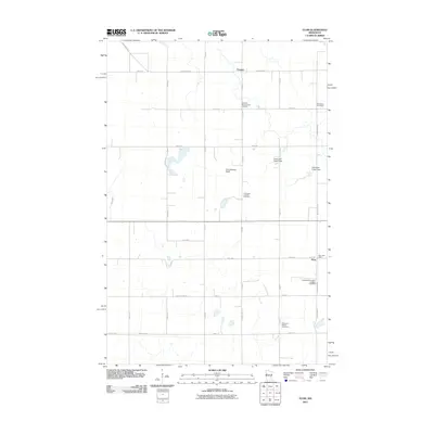 2011 Flom2011 Print · USGSThe rural crossroads of Norman County are captured here in the early 2000s, centered on the community of Flom. Genealogists will find a wealth of local history at sites like the Aspelund Norwegian Lutheran Cemetery and Frenchmans Bluff.
 - 2011 Map of Ranum, 2011 Print
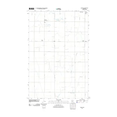 2011 Ranum2011 Print · USGSNorman County prairie life is centered on the rural intersections of Sundal and Ranum in the early twenty-first century. Genealogists can locate several historic burial grounds, including the International Order of Good Templars Cemetery and Ness Lutheran Cemetery.
 - 2013 Map of Flaming, 2013 Print
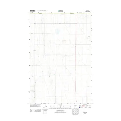 2013 Flaming2013 Print · USGSNorman County agricultural lands are captured here in the early twenty-first century as the traditional section grid remains the area's primary structure. Genealogists and local historians can locate several family and community burial sites, including Spring Creek Cem, Old Sundal Cem, and Luchau Cem.
 - 2013 Map of Borup, 2013 Print
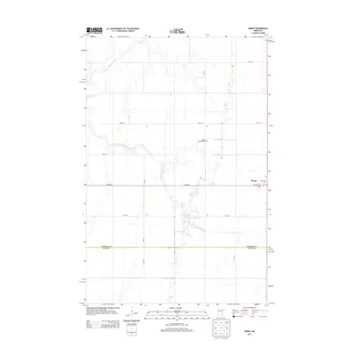 2013 Borup2013 Print · USGSThe agricultural plains of Norman County come into focus in the early 2010s, showing a landscape defined by the winding Wild Rice River. Genealogists and local historians can trace legacy sites like Winchester Cem and the German Methodist Cem near Borup.
 - 2013 Map of Twin Valley NW, 2013 Print
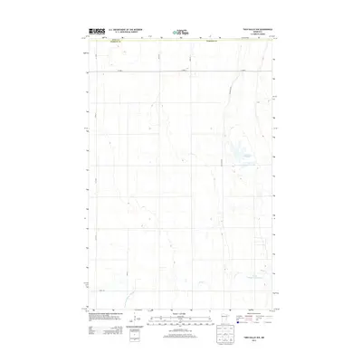 2013 Twin Valley NW2013 Print · USGSPolk and Norman counties appear here in the early twenty-first century, showing a landscape defined by drainage and conservation. Genealogists and local historians can trace family land boundaries along Co Hwy-1 or locate features like Lockhart Swamp and Spring Cr.
 - 2013 Map of Ada NW, 2013 Print
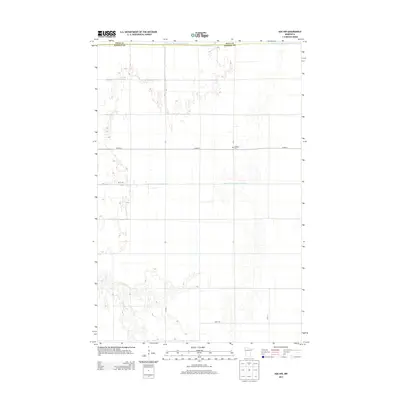 2013 Ada NW2013 Print · USGSThe Polk and Norman County borderlands in the early twenty-first century reveal a landscape shaped by both nature and engineering. Researchers can trace the meandering Marsh River or locate the quiet Bethany Cem tucked along CO HWY-3.
Showing maps 1-25 of 84
Top cities of Norman County
- Ada historical maps
- Twin Valley historical maps
- Halstad historical maps
- Hendrum historical maps
- Shelly historical maps
- Gary historical maps
See more
Frequently asked questions
- What are the different types of historical maps available for Norman County?
- What is the oldest map of Norman County?
- Where can I purchase historical maps of Norman County for my home or office?
- Where can I download high-res historical maps of Norman County?
- Are there historical topographic maps available for Norman County?
- Is there historical aerial imagery available for Norman County?
- Where are historical maps of Norman County sourced from?