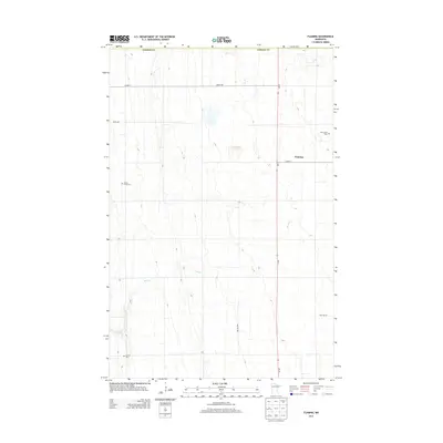
2013 Map of Flaming
USGS Topo · Published 2013About this map
Spring Creek meanders through this portion of Norman County, defining the drainage patterns of a landscape largely organized by the public land survey system. The small settlement of Flaming sits at the junction of MN-32 and CO Hwy-7, serving as a central point for the surrounding agricultural community. For those researching local heritage, the map identifies three distinct burial sites: Spring Creek Cem to the west, Old Sundal Cem to the northeast, and Luchau Cem in the south. These cemeteries, alongside a grid of township and county roads like 330th Ave and Twp Hwy 205, reflect the persistent rural infrastructure of this Minnesota region.
Find a feature on this map
14 named features on this map. Tap any name to fly to it.
Don’t see what you’re looking for? This feature index may not catch every label — zoom into the map to look around manually.
Map Details
Editions of this 2013 Flaming Map
This is the sole edition of this map. No revisions or reprints were ever made.
Other maps of this area

1918 · Twin Valley
USGS Topo · 1:62,500

1919 · Valley
USGS Topo · 1:62,500

1952 · Grand Forks
USGS Topo · 1:250,000

1956 · Grand Forks
USGS Topo · 1:250,000

1965 · Fertile
USGS Topo · 1:24,000

1965 · Melvin
USGS Topo · 1:24,000

1965 · Waukon
USGS Topo · 1:24,000

1965 · Twin Valley SW
USGS Topo · 1:24,000

1965 · Twin Valley
USGS Topo · 1:24,000

1965 · Twin Valley NW
USGS Topo · 1:24,000