2000s (21st Century) Maps of Norman County, Minnesota
Explore 105 historic maps of Norman County from the 2000s (21st Century). These maps offer a rare glimpse into what life looked like during the 2000s — showing old roads, neighborhoods, homes, and landmarks that have changed or disappeared over time.
Whether you're researching your family's past, planning a metal detecting trip, or studying how Norman County's landscape evolved across the 2000s, these high-resolution maps are a powerful tool for exploring the history of this region.
- Focus on a specific era: All maps on this page are from the 2000s, giving you a focused view of this time period.
- See what’s changed: Compare century-old streets, trails, and buildings to today's modern landscape using overlays and satellite layers.
- Research with precision: Use these maps for genealogy, historical research, land use analysis, or educational projects.
- View, download, or print: Maps are fully viewable online in high resolution, and can be downloaded or printed for your own records.
Start exploring Norman County's history through authentic maps from the 2000s. This is your window into the past.
Norman County, MN maps
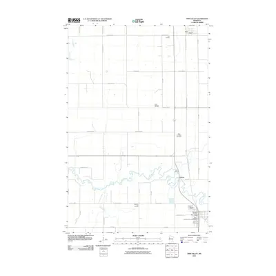
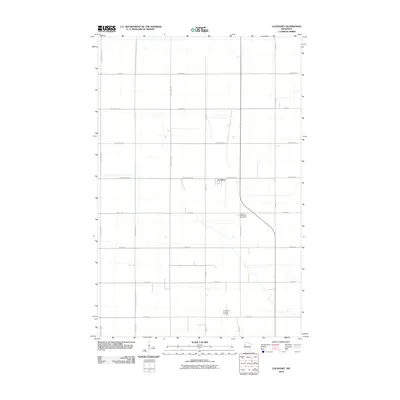
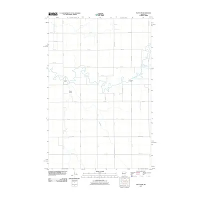
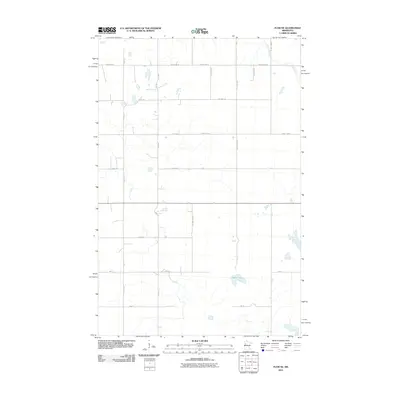
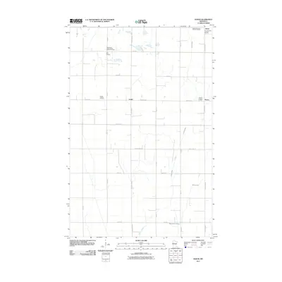
(105)- 2010 Map of Twin Valley SW, 2010 Print
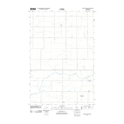 2010 Twin Valley SW2010 Print · USGSCovers Norman County, including Ada, United States, and other nearby areas
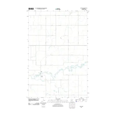
 - 2010 Map of Twin Valley NW, 2010 Print
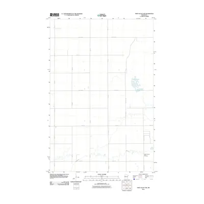 2010 Twin Valley NW2010 Print · USGSCovers Norman County, including Polk County, United States, and other nearby areas
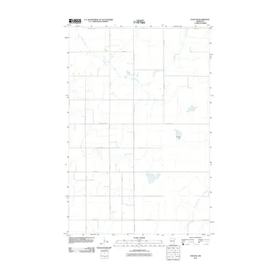
 - 2010 Map of Ulen NW, 2010 Print
 2010 Ulen NW2010 Print · USGSCovers Norman County, including Clay County, United States, and other nearby areas
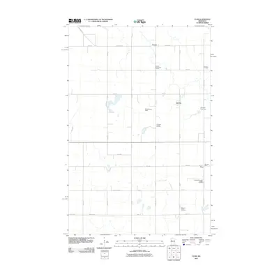
 - 2010 Map of Waukon, 2010 Print
 2010 Waukon2010 Print · USGSCovers Norman County, including Twin Valley, Waukon, and other nearby areas
 - 2010 Map of Twin Valley, 2010 Print
 2010 Twin Valley2010 Print · USGSCovers Norman County, including Twin Valley, Gary, and other nearby areas
 - 2010 Map of Borup, 2010 Print
 2010 Borup2010 Print · USGSCovers Norman County, including Borup, Clay County, and other nearby areas
 - 2010 Map of Syre, 2010 Print
 2010 Syre2010 Print · USGSCovers Norman County, including Syre, Clay County, and other nearby areas
 - 2010 Map of Anthony, 2010 Print
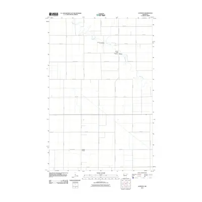 2010 Anthony2010 Print · USGSCovers Norman County, including Anthony, United States, and other nearby areas
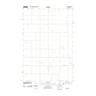
 - 2010 Map of Lockhart, 2010 Print
 2010 Lockhart2010 Print · USGSCovers Norman County, including Lockhart, Polk County, and other nearby areas
 - 2010 Map of Ada, 2010 Print
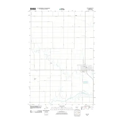 2010 Ada2010 Print · USGSCovers Norman County, including Ada, Hadler, and other nearby areas
 - 2010 Map of Flaming, 2010 Print
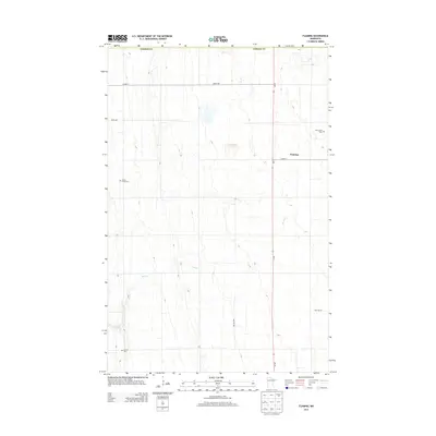
 2010 Flaming2010 Print · USGSCovers Norman County, including Gary, West Side Mobile Home Park, and other nearby areas
 - 2010 Map of Ada NW, 2010 Print
 2010 Ada NW2010 Print · USGSCovers Norman County, including Polk County, United States, and other nearby areas
 - 2010 Map of Felton NW, 2010 Print
 2010 Felton NW2010 Print · USGSCovers Norman County, including Clay County, United States, and other nearby areas
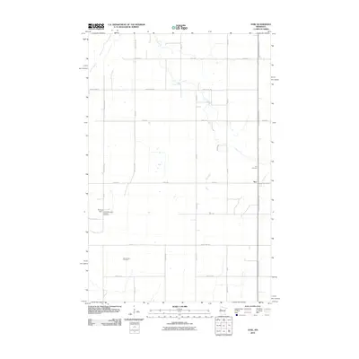
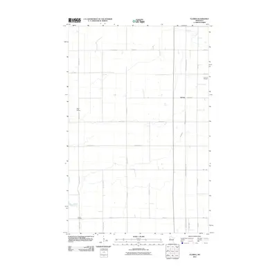
 - 2011 Map of Shelly, 2011 Print
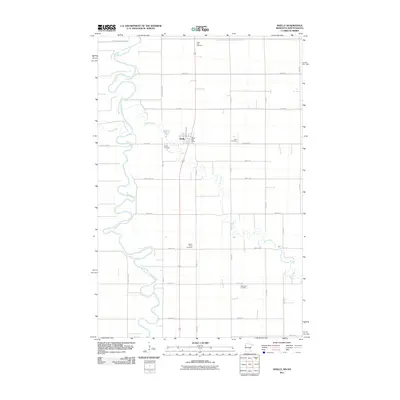 2011 Shelly2011 Print · USGSCovers Norman County, including Shelly, Polk County, and other nearby areas
 - 2011 Map of Halstad, 2011 Print
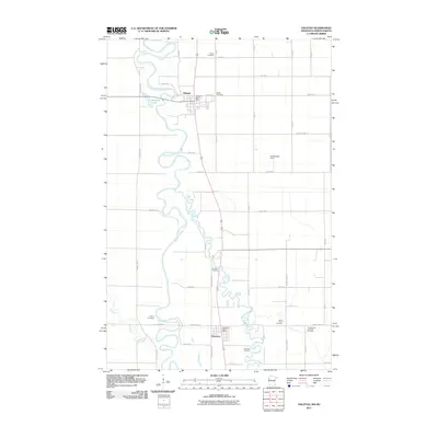 2011 Halstad2011 Print · USGSCovers Norman County, including Halstad, Hendrum, and other nearby areas
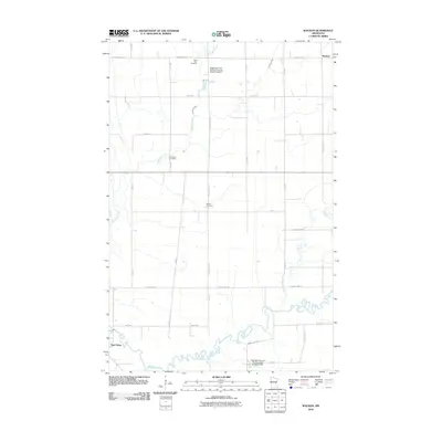
 - 2011 Map of Perley, 2011 Print
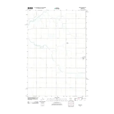
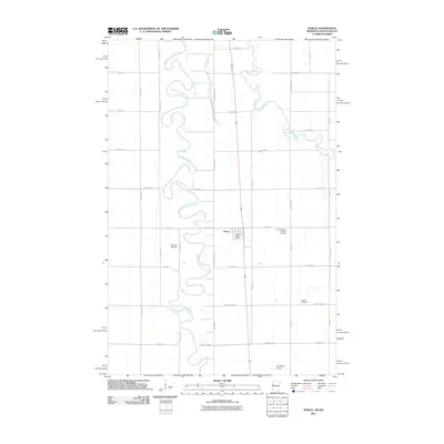 2011 Perley2011 Print · USGSCovers Norman County, including Perley, Noble Township, and other nearby areas
 - 2011 Map of Flom NE, 2011 Print
 2011 Flom NE2011 Print · USGSCovers Norman County, including Becker County, Mahnomen County, and other nearby areas
 - 2011 Map of Faith, 2011 Print
 2011 Faith2011 Print · USGSCovers Norman County, including Faith, Mahnomen County, and other nearby areas
 - 2011 Map of Faith NE, 2011 Print
 2011 Faith NE2011 Print · USGSCovers Norman County, including Polk County, Mahnomen County, and other nearby areas
 - 2011 Map of Flom, 2011 Print
 2011 Flom2011 Print · USGSCovers Norman County, including Flom, Fossum, and other nearby areas
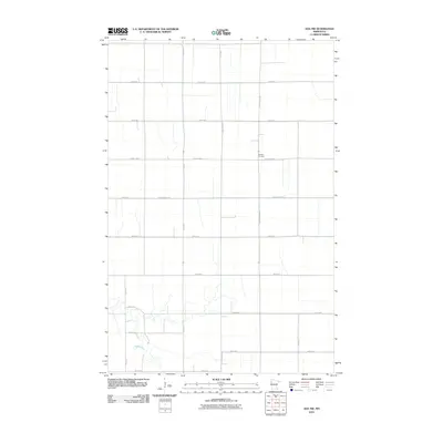
 - 2011 Map of Ranum, 2011 Print
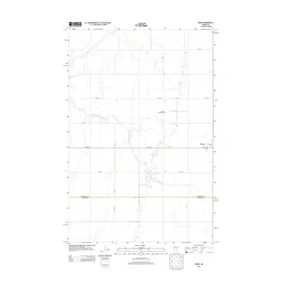
 2011 Ranum2011 Print · USGSCovers Norman County, including Sundal, Ranum, and other nearby areas
 - 2013 Map of Flaming, 2013 Print
 2013 Flaming2013 Print · USGSCovers Norman County, including Gary, West Side Mobile Home Park, and other nearby areas
 - 2013 Map of Borup, 2013 Print
 2013 Borup2013 Print · USGSCovers Norman County, including Borup, Clay County, and other nearby areas
 - 2013 Map of Twin Valley NW, 2013 Print
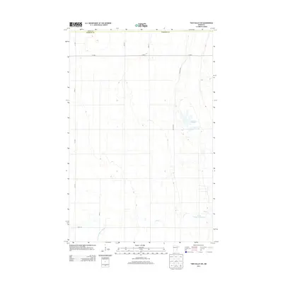 2013 Twin Valley NW2013 Print · USGSCovers Norman County, including Polk County, United States, and other nearby areas
 - 2013 Map of Ada NW, 2013 Print
 2013 Ada NW2013 Print · USGSCovers Norman County, including Polk County, United States, and other nearby areas
Showing maps 1-25 of 105
Top cities of Norman County
- Ada historical maps
- Twin Valley historical maps
- Halstad historical maps
- Hendrum historical maps
- Shelly historical maps
- Gary historical maps
See more
Frequently asked questions
- What are the different types of historical maps available for Norman County?
- What is the oldest map of Norman County?
- Where can I purchase historical maps of Norman County for my home or office?
- Where can I download high-res historical maps of Norman County?
- Are there historical topographic maps available for Norman County?
- Is there historical aerial imagery available for Norman County?
- Where are historical maps of Norman County sourced from?